My Store
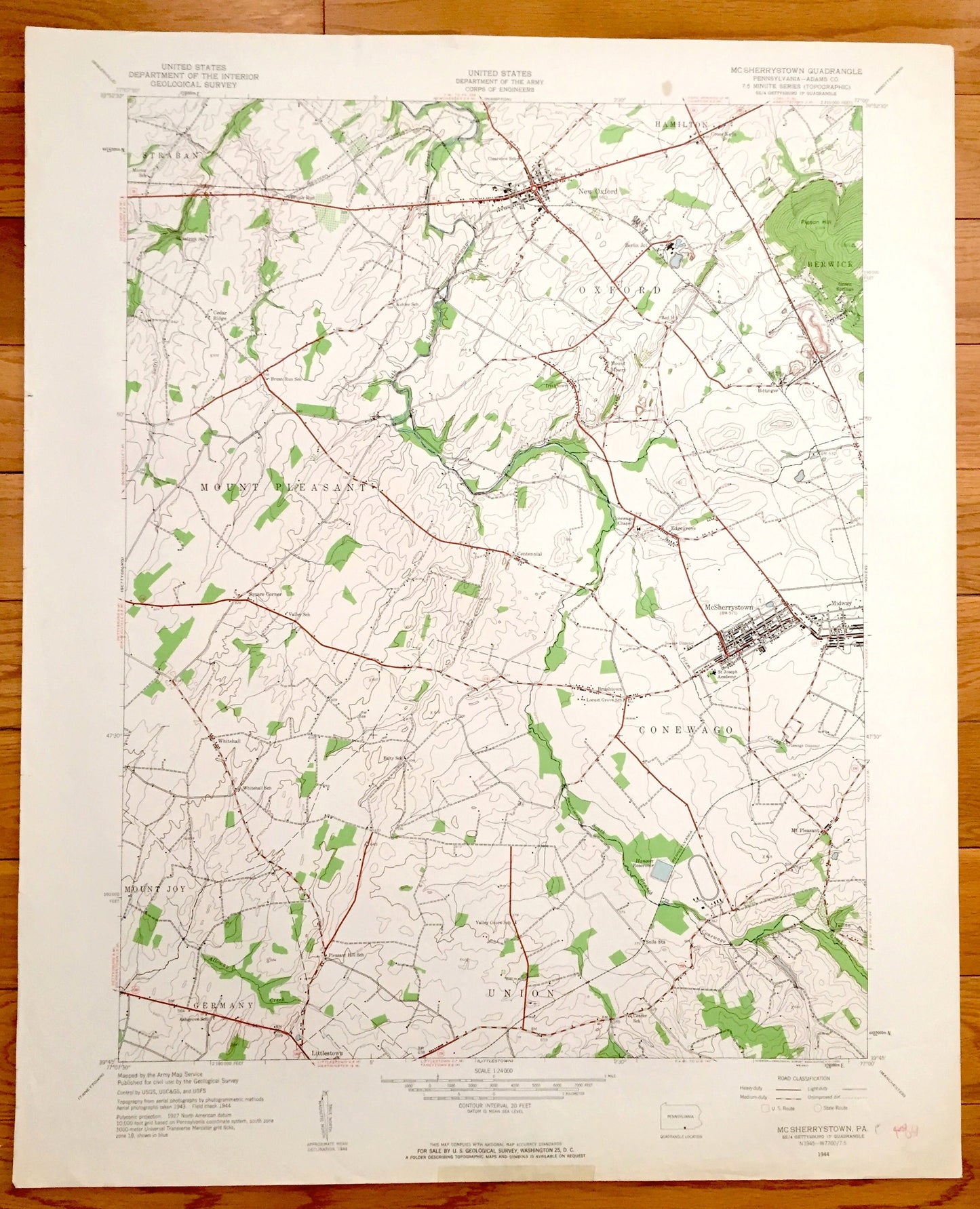
Antique McSherrystown, Pennsylvania 1944 US Geological Survey Topographic Map – Oxford, Conewago, Union, Mount Pleasant, Germany, Mount Joy
Antique McSherrystown, Pennsylvania 1944 US Geological Survey Topographic Map – Oxford, Conewago, Union, Mount Pleasant, Germany, Mount Joy
Beautiful, antique map of McSherrystown, Conewago, Union, Germany, Mount Joy, Mount Pleasant, Straban, New Oxford, Hamilton and Berwick, Pennsylvania. This is an authentic 1944 print from the U.S. Geological Survey and NOT a computer reproduction.
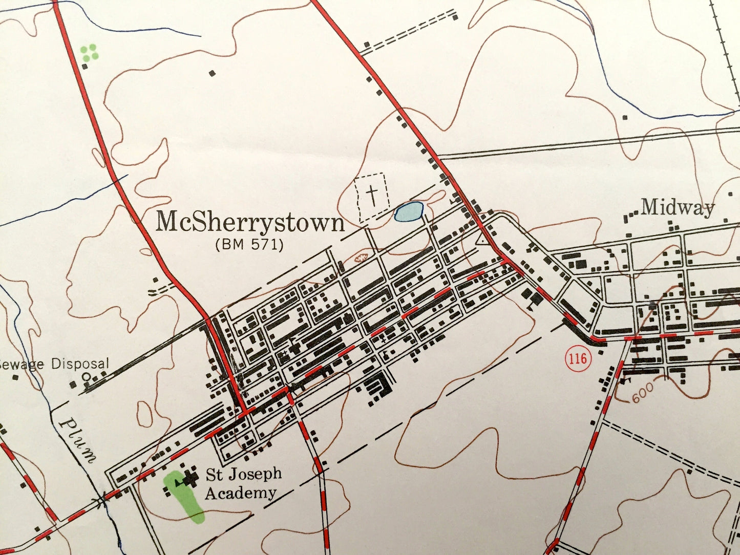
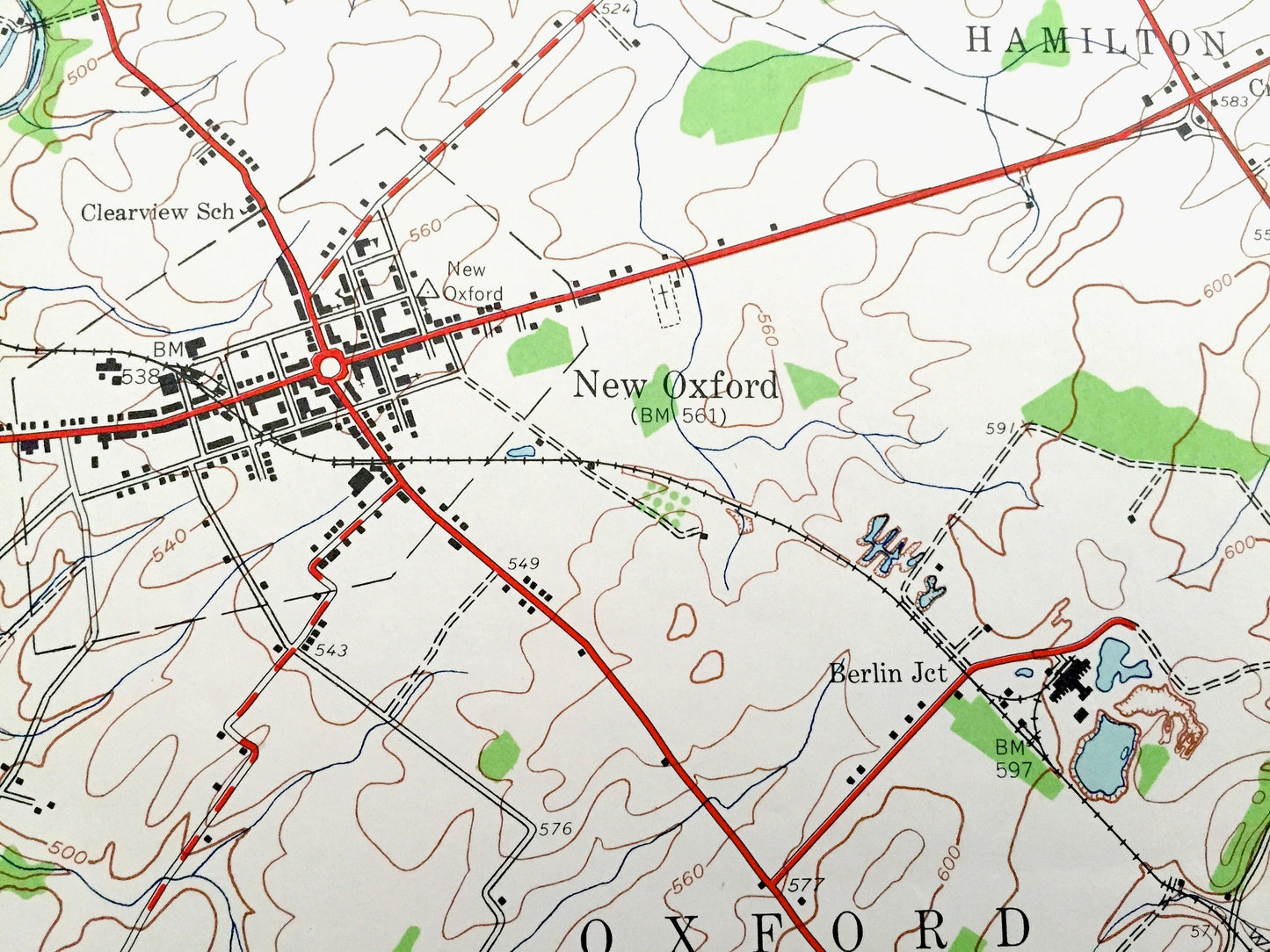
See what Adams County of Pennsylvania looked like over 70 years ago. Lots of intricate details and geological contours. Map even has little squares for every house that existed at the time. The USGS cartographers were very thorough back then!
Perfect for the historian, map-lover, the curious or just as a conversation starter. Wonderful and rare. Vintage maps such as these make great gifts.
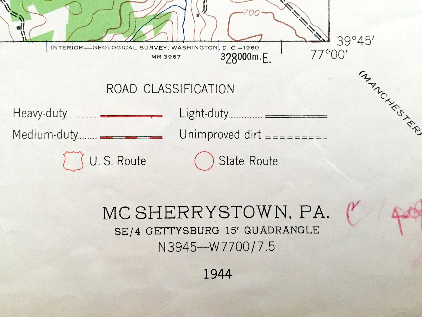
Edition of 1944, printed 1944
Dimensions: 22" width x 27" height
----
Features
Cities & Towns: Straban, Mount Pleasant, Cedar Ridge, Square Corner, Mount Joy, Whitehall, Germany, Littlestown, Union, Mt. Pleasant, Conewago, McSherrystown, Edgegrove, Oxford, Berwick, Hamilton, Cross Keys, New Oxford, Berlin Junction.
Points of Interest: Western Maryland Railroad, Moritz School, Brush Run School, Ashgrove School, St Joseph Academy, Conewago Chapel, Mount Misery, Pigeon Hill, Conewago Creek and lots more hills, streams, ponds, schools, churches, houses, and roads.
Condition: Very Good condition, commensurate with age. This map is in incredible shape for being almost 70 years old. Has some edge-wear, which will read as character when framed.
----
We will happily adjust shipping price for multiple purchases. Maps are rolled up and shipped in sturdy mailing tubes, never folded.
Couldn't load pickup availability
Share