My Store
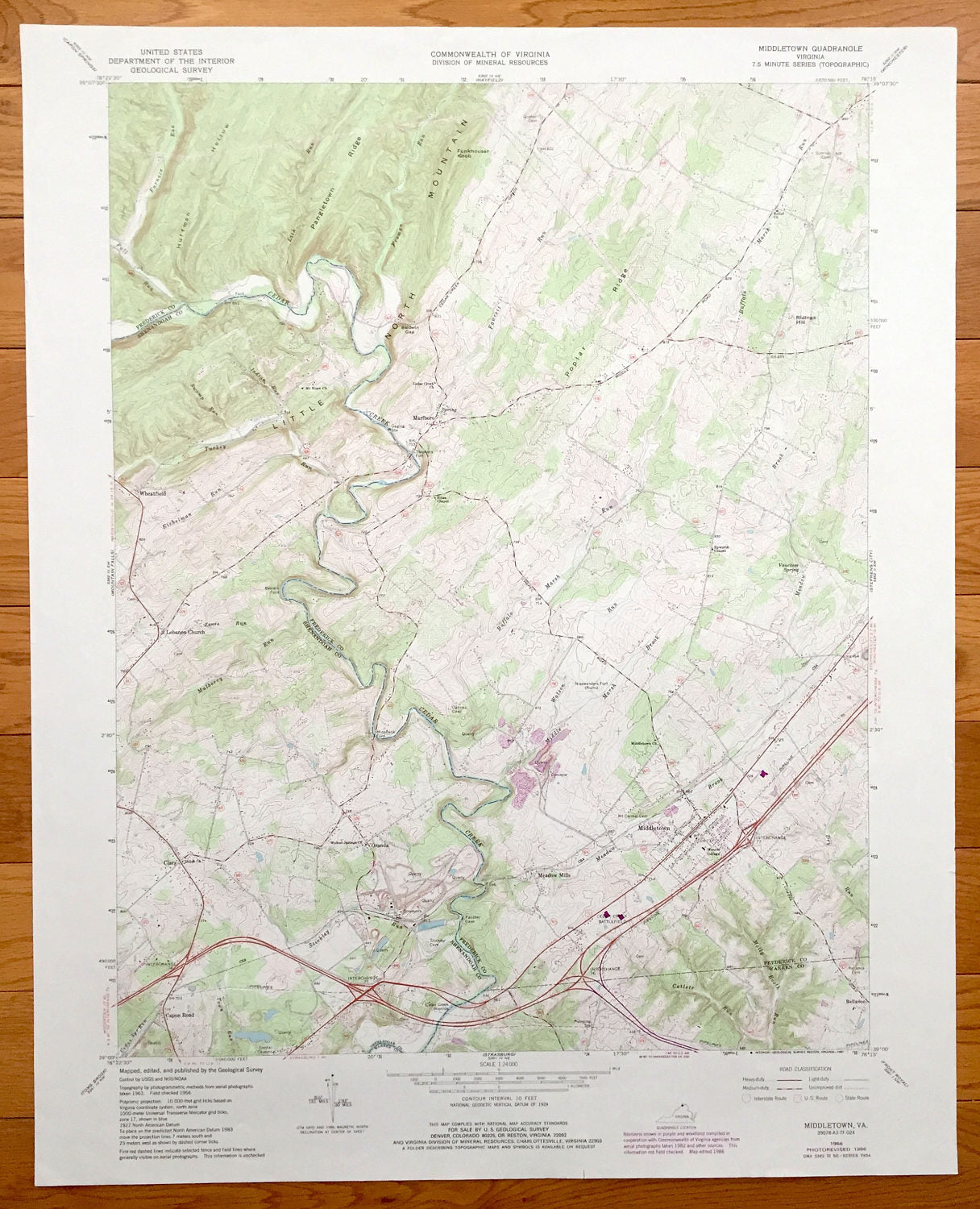
Antique Middletown, Virginia 1966 US Geological Survey Topographic Map – Marlboro, Lebanon Church, Wheatfield, Clary, Reliance, Oranda, VA
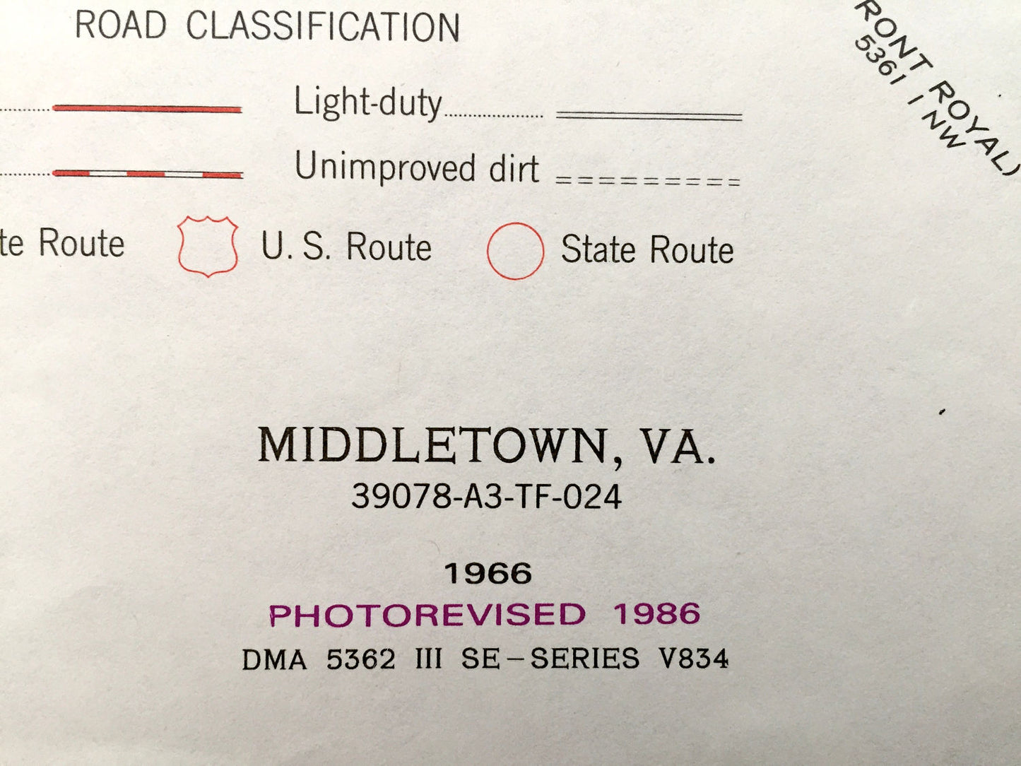
Antique Middletown, Virginia 1966 US Geological Survey Topographic Map – Marlboro, Lebanon Church, Wheatfield, Clary, Reliance, Oranda, VA
Beautiful, antique map of Middletown, Wheatfield, Lebanon Church, Clary and Oranda, Virginia . This is an authentic 1986 print of 1966 survey data from the U.S. Geological Survey and NOT a computer reproduction.
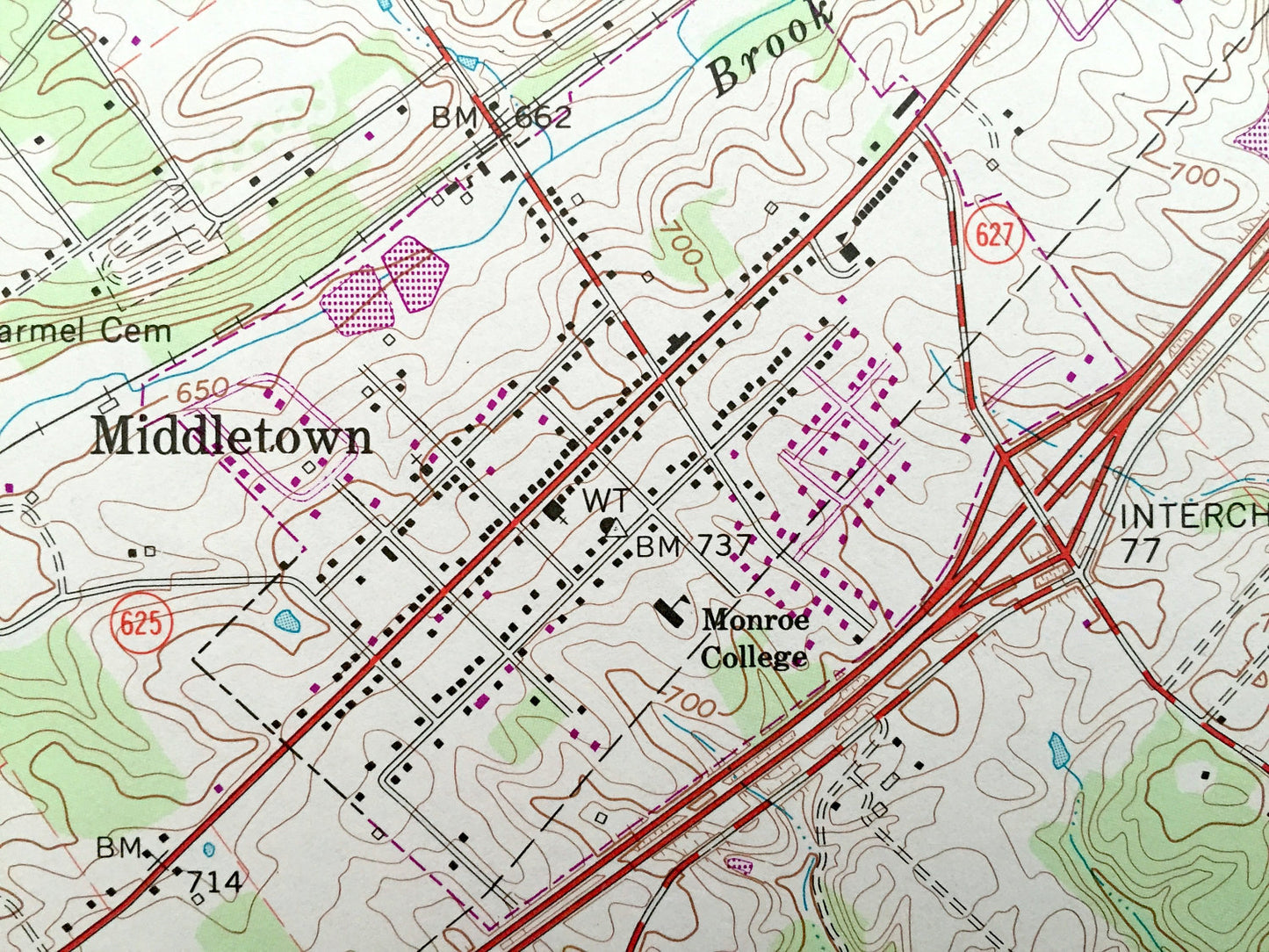
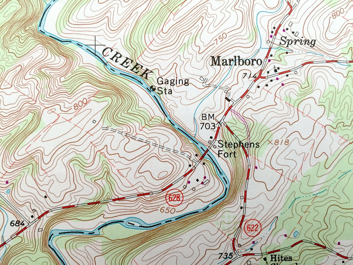
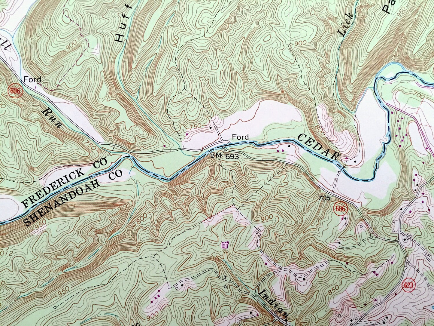
See what Frederick, Warren and Shenandoa Counties looked like over 55 years years ago. Lots of intricate details and geological contours. Map even has little squares for every house that existed at the time. The USGS cartographers were very thorough back then!
Perfect for the historian, map-lover, the curious or just as a conversation starter. Wonderful and rare. Vintage maps such as these make great gifts.
Edition of 1966, printed 1986
Dimensions: 21 3/4" width x 27" height
----
Features
Cities & Towns: Marlboro, Lebanon Church, Wheatfield, Clary, Meadow Mills, Middletown, Oranda.
Points of Interest: Huffman Hollow, Little North Mountain, Poplar Ridge, Nieswanders Fort, Regional Quarries, Walnut Springs Church, Cedar Creek, Monroe College, Vaucluse Spring, Ogdens Cave, and lots more hills, streams, ponds, churches, houses, and roads.
Condition: Very Good Vintage condition, commensurate with age. This map is in great shape for being over 35 years old.
----
We will happily adjust shipping price for multiple purchases. Maps are rolled up and shipped in sturdy mailing tubes, never folded.
Couldn't load pickup availability
Share