My Store
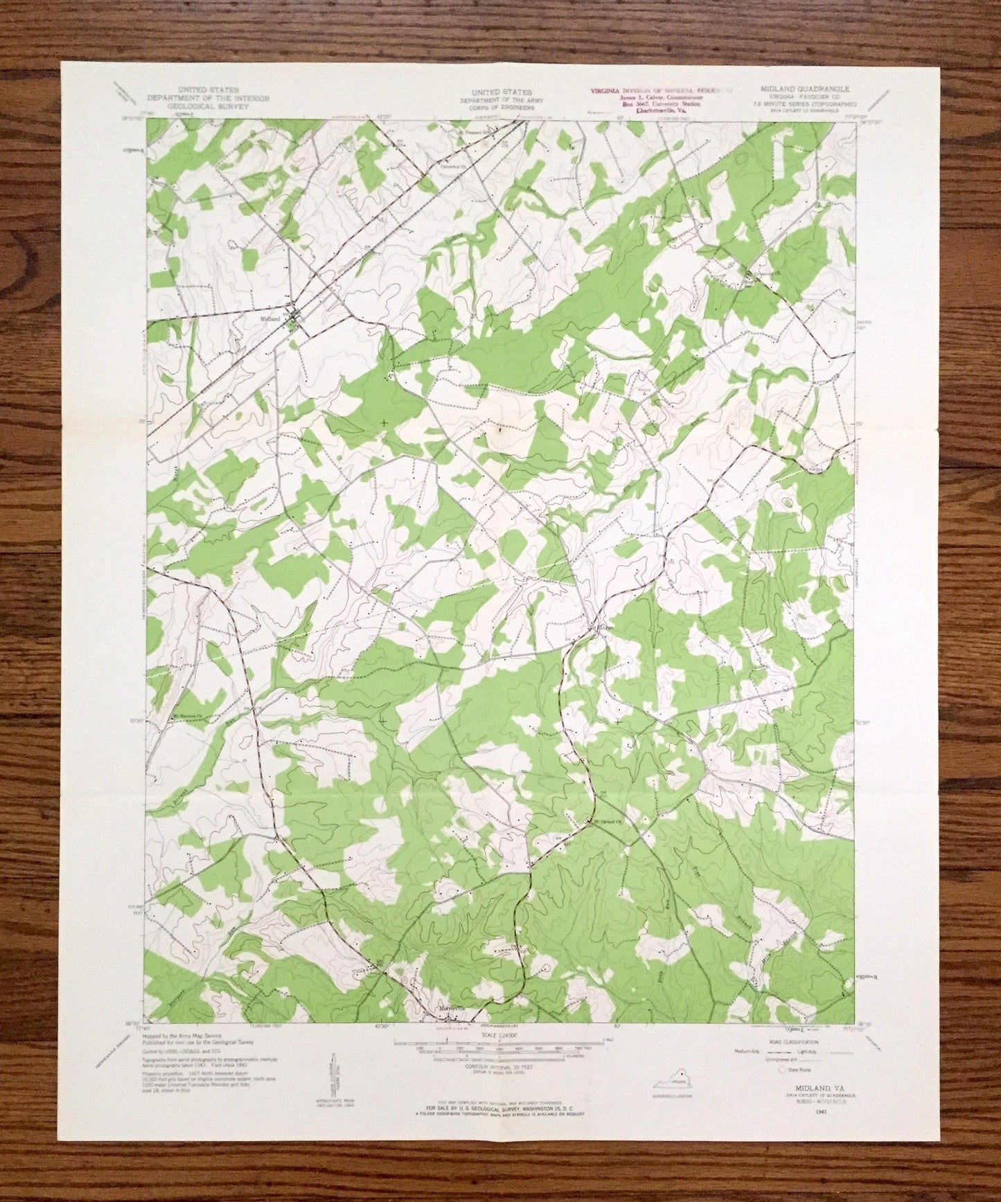
Antique Midland, Virginia 1943 US Geological Survey Topographic Map – Fauquier County, Catlett, Calverton, Bealeton, Morrisville, Elk Run VA
Antique Midland, Virginia 1943 US Geological Survey Topographic Map – Fauquier County, Catlett, Calverton, Bealeton, Morrisville, Elk Run VA
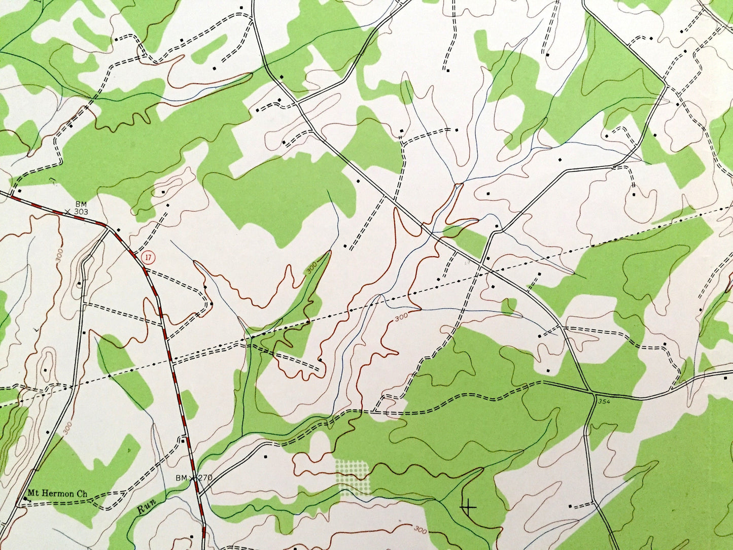
Beautiful, antique map of Midland, Virginia and surrounding Faquier County area. This is an authentic 1943 edition, 1961 print from the U.S. Geological Survey and NOT a computer reproduction.
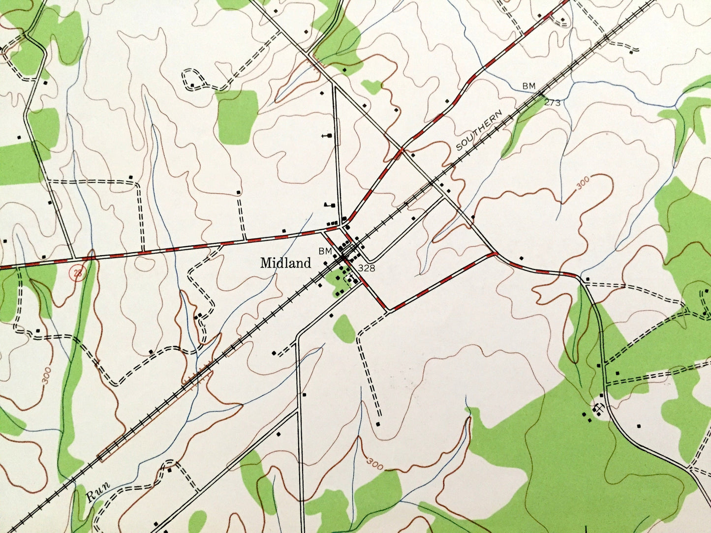
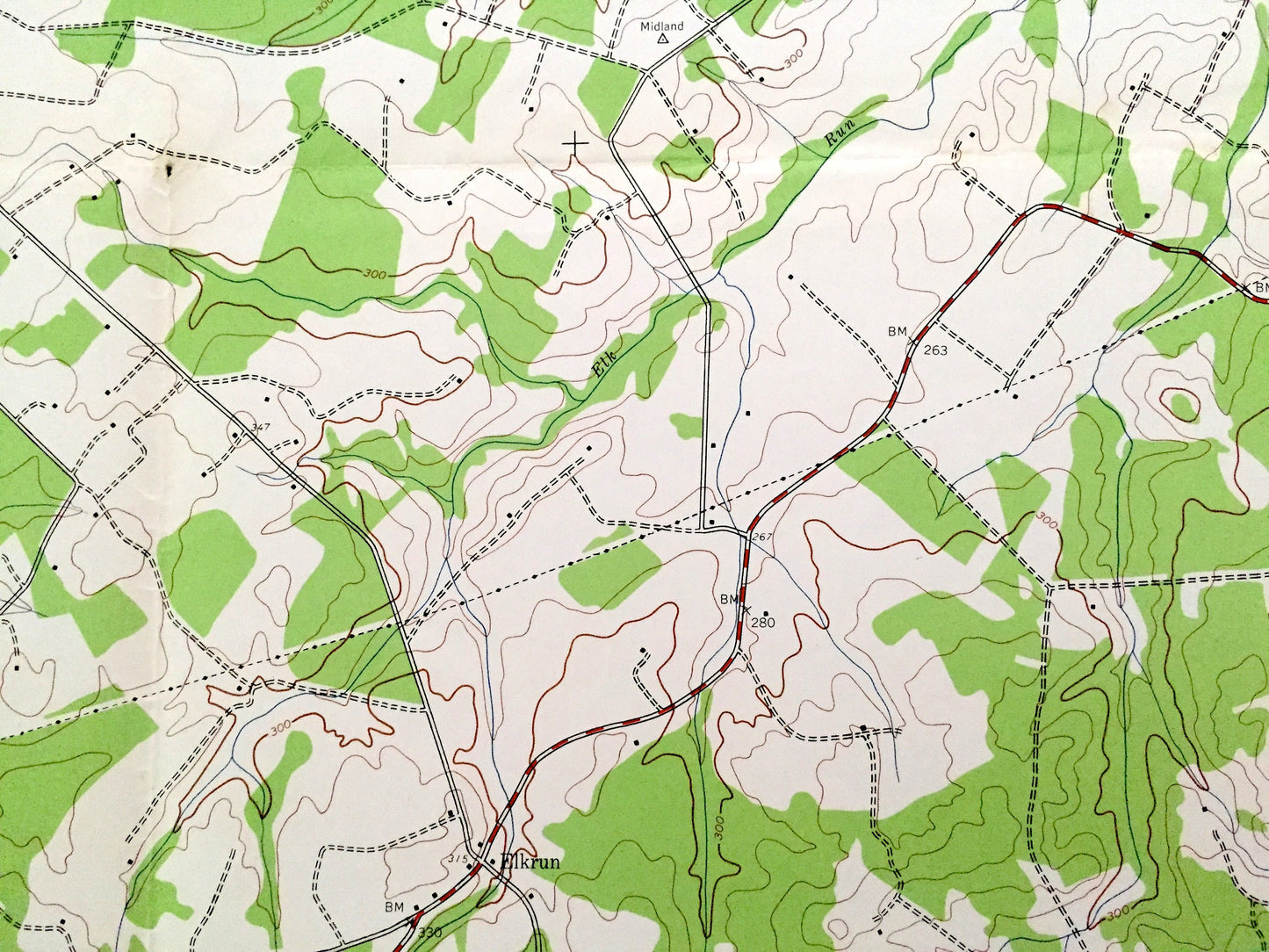
See what Virginia looked like almost 80 years ago. Lots of intricate details and geological contours. Map even has little squares for every house that existed at the time. The USGS cartographers were very thorough back then!
Perfect for the historian, map-lover, the curious or just as a conversation starter. Wonderful and rare. Vintage maps such as these make great gifts.
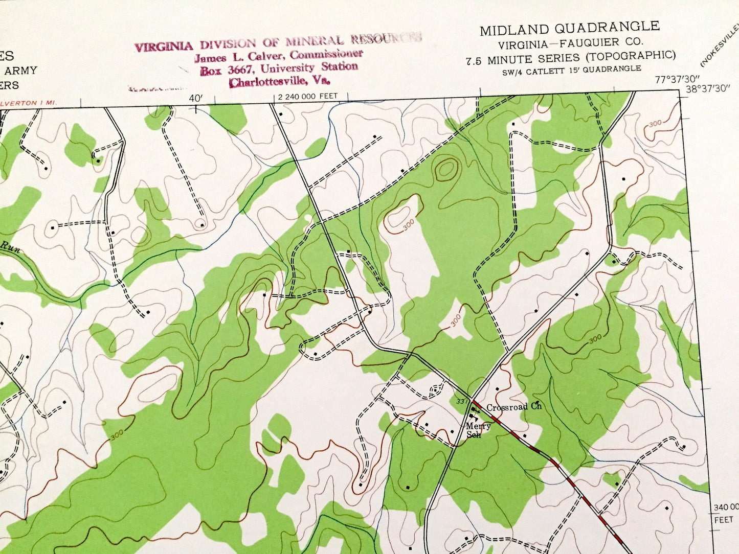
Edition of 1943, printed 1961
Dimensions: 22" width x 27" height
----
Features
Cities & Towns: Midland, Elkrun (Elk Run), Morrisville, Catlett, Calverton, Bealeton.
Points of Interest: Fauquier County, Deep Run, Mire Branch, Pine Branch, Mt Pleasant School, Calverton Church, Harpers Run, Licking Run, Mt Carmel Church , and lots more hills, creeks, ponds, houses, churches, farms, schools and roads.
Condition: Good Vintage condition, commensurate with age. This map is in great shape for being over 60 years old. Has some wear, stamp in upper margin and folds as-issued, but these will flatten easily and all will read as vintage character when framed.
----
We will happily adjust shipping price for multiple purchases. Maps are rolled up and shipped in sturdy mailing tubes, never folded.
Couldn't load pickup availability
Share