My Store
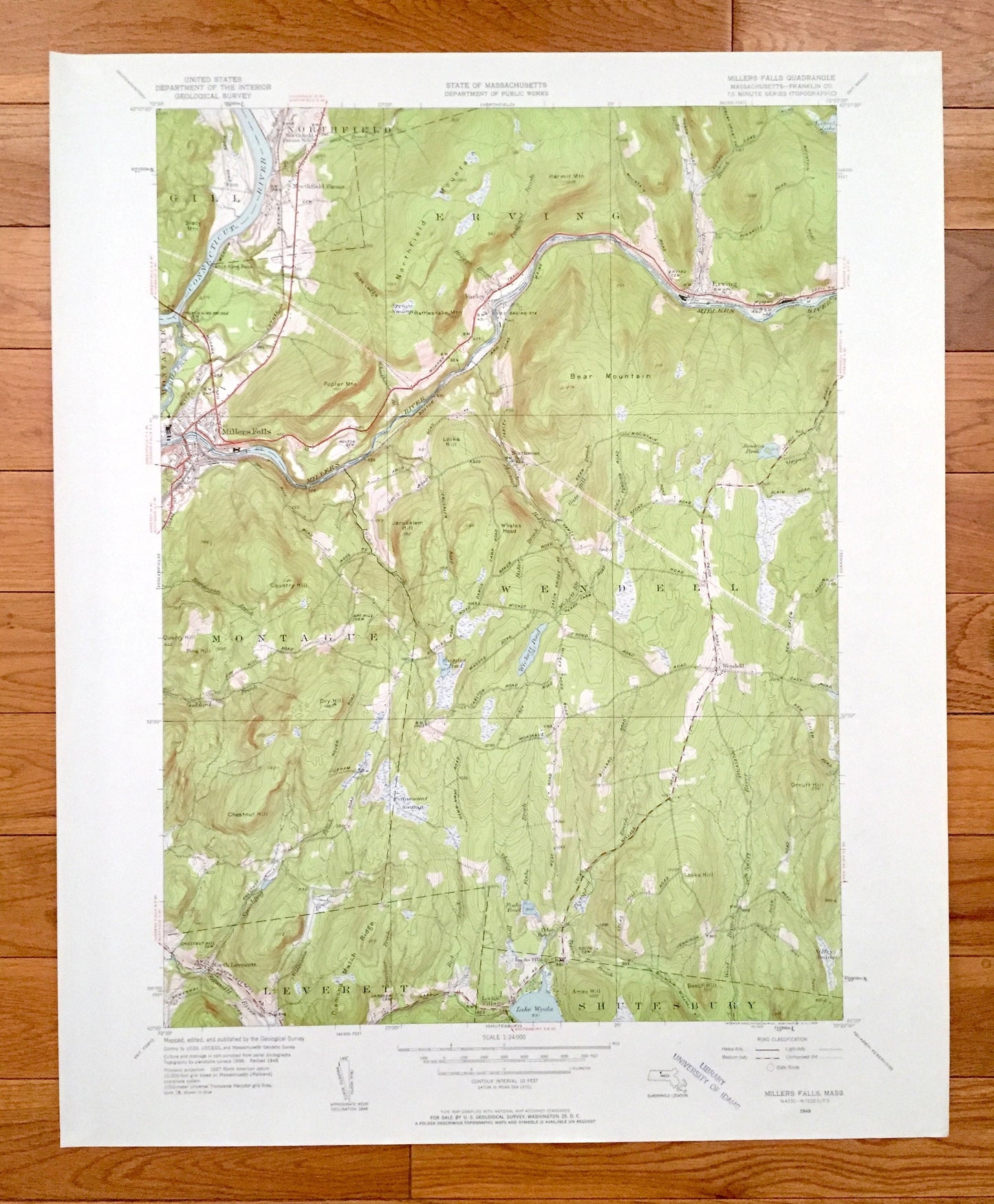
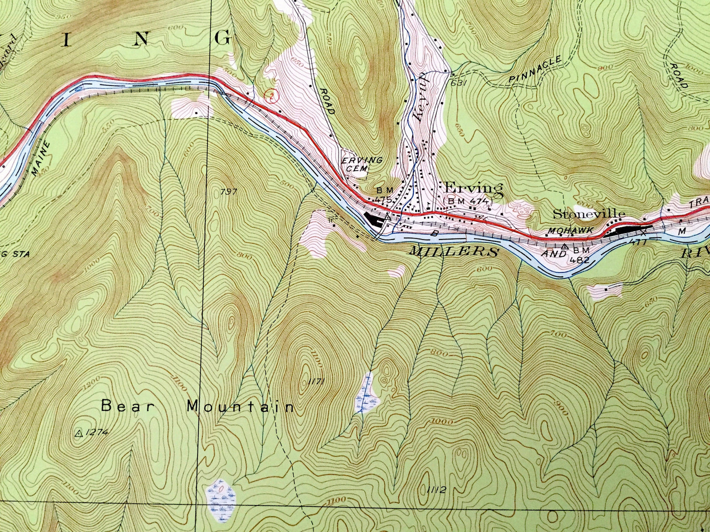
Antique Millers Falls, Massachusetts 1948 US Geological Survey Topographic Map – Franklin County, Wendell, Montague, Erving, Northfield, MA
Antique Millers Falls, Massachusetts 1948 US Geological Survey Topographic Map – Franklin County, Wendell, Montague, Erving, Northfield, MA
Beautiful, antique map of Millers Falls, Massachusetts and surrounding Franklin County area. This is an authentic 1948 edition, 1958 print from the U.S. Geological Survey and NOT a computer reproduction.
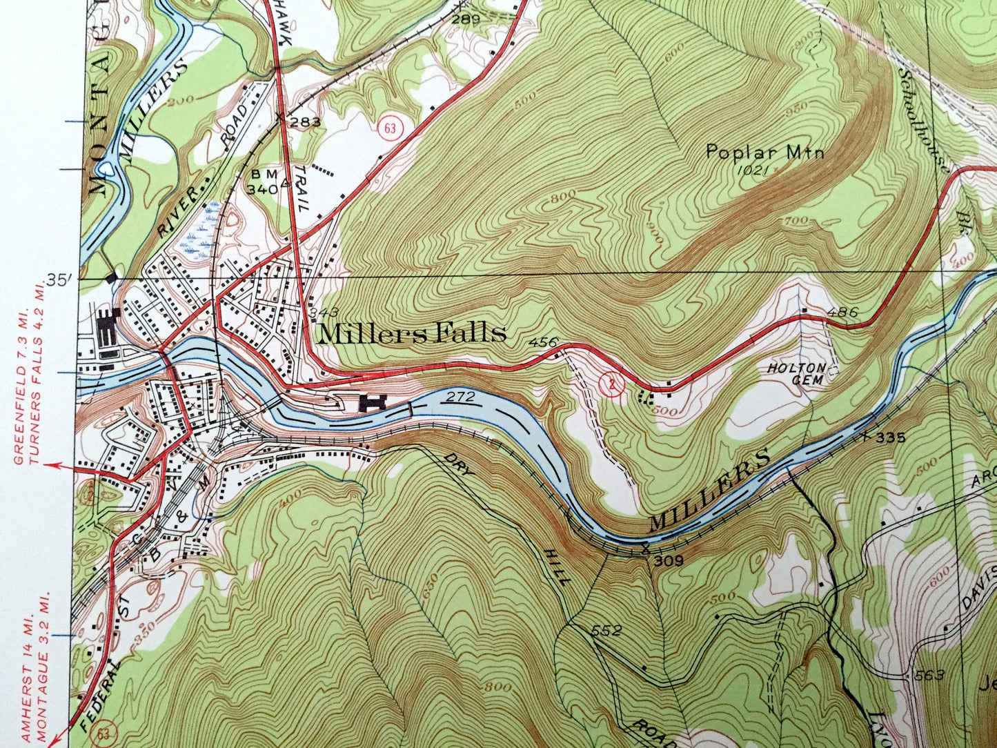
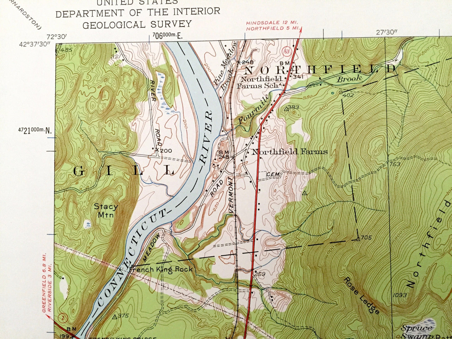
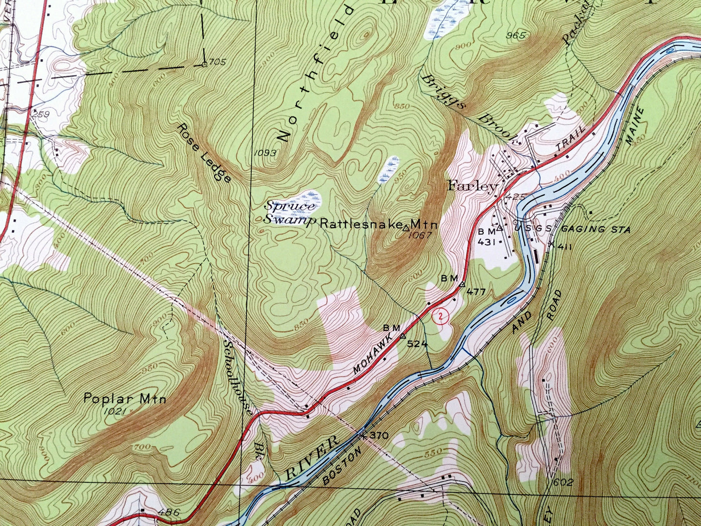
See what Massachusetts looked like over 70 years ago. Lots of intricate details and geological contours. Map even has little squares for every house that existed at the time. The USGS cartographers were very thorough back then!
Perfect for the historian, map-lover, the curious or just as a conversation starter. Wonderful and rare. Vintage maps such as these make great gifts.
Edition of 1948, printed 1958
Dimensions: 22" width x 27" height
----
Features
Cities & Towns: Wendell, Montague, Northfield, Gill, Leverett, Shutesbury, Northfield Farms, Farley, Erving, Stoneville, North Leverett, Locks Village.
Points of Interest: Northfield Mountain, French King Bridge, French King Rock, Stacy Mountain, Poplar Mountain, Rattlesnake Mountain, Hermit Mountain, Bear Mountain, Country Hill, Chestnut Hill, Orcutt Hill, Ames Hill, Beech Hill, Laurel Lake, Bowens Pond, Wickett Pond, Lake Wyola, Connecticut River, Millers River, Spaulding Brook, and many more hills, streams, ponds, houses, schools, railroads, churches and roads.
Condition: Very Good Vintage condition, commensurate with age. This map is in great shape for being over 60 years old.
----
We will happily adjust shipping price for multiple purchases. Maps are rolled up and shipped in sturdy mailing tubes, never folded.
Couldn't load pickup availability
Share