My Store
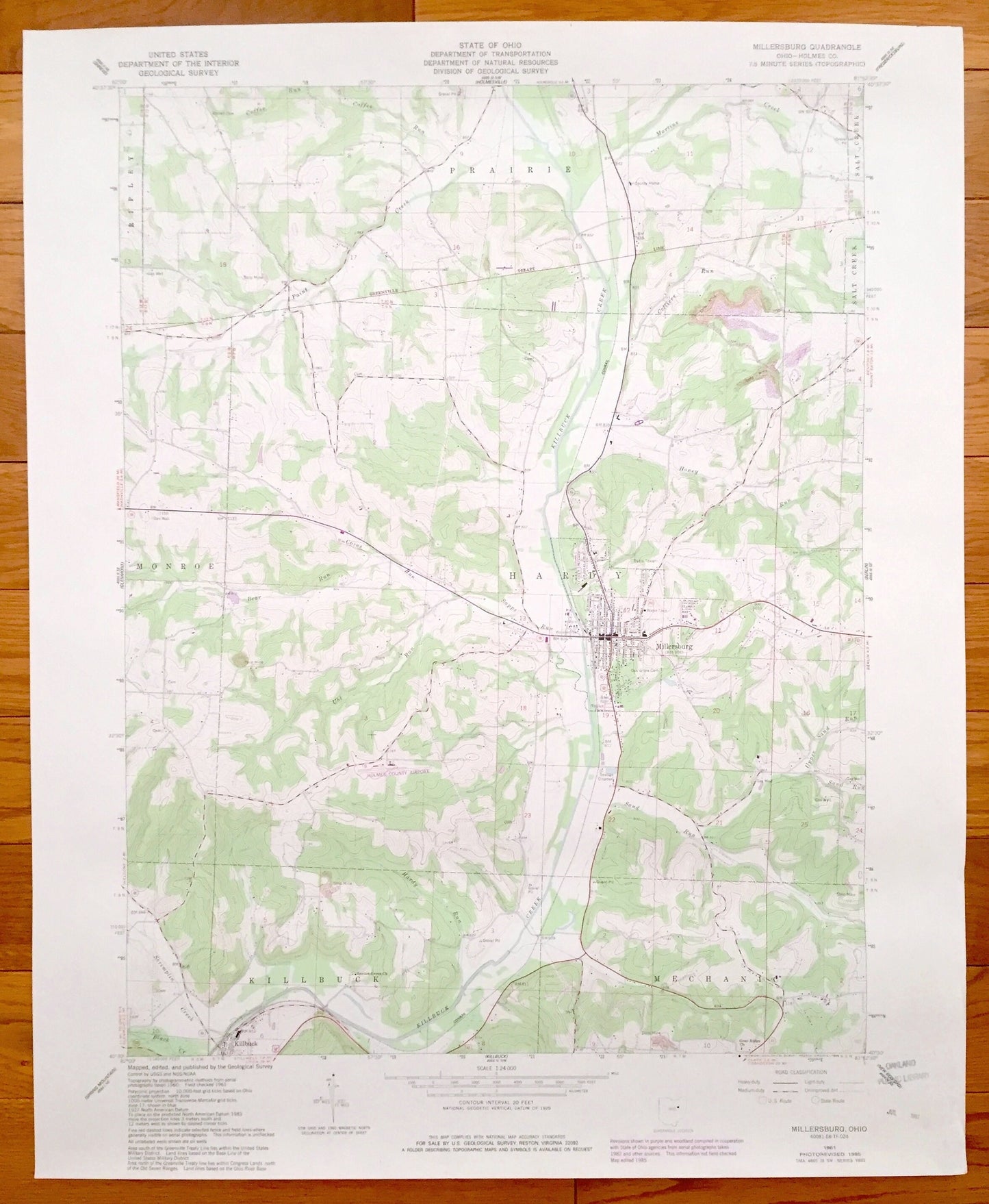
Antique Millersburg, Ohio 1961 US Geological Survey Topographic Map – Holmes County, Killbuck, Mechanic, Monroe, Hardy, Prairie, Ripley, OH
Antique Millersburg, Ohio 1961 US Geological Survey Topographic Map – Holmes County, Killbuck, Mechanic, Monroe, Hardy, Prairie, Ripley, OH
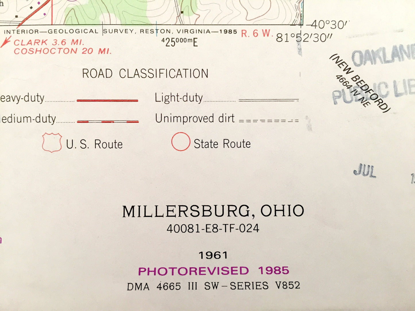
Beautiful, antique map of Millersburg, Killbuck, Mechanic, Monroe, Hardy, Prairie, Ripley, and Salt Creek Ohio. This is an authentic 1985 print of 1961 survey data from the U.S. Geological Survey and NOT a computer reproduction.
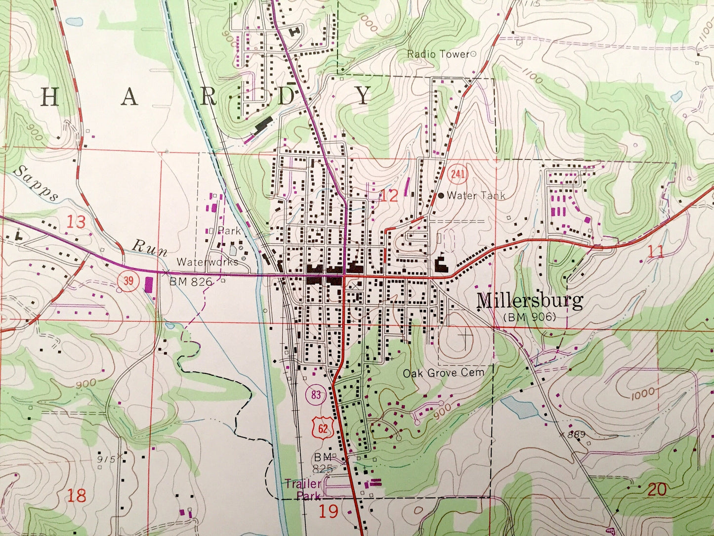
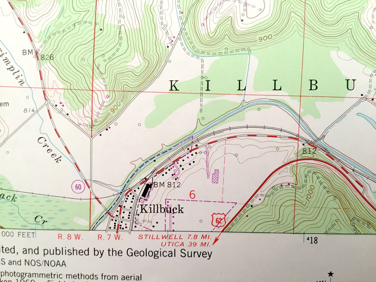
See what Holmes County of Ohio looked like over 55 years ago. Lots of intricate details and geological contours. Map even has little squares for every house that existed at the time. The USGS cartographers were very thorough back then!
Perfect for the historian, map-lover, the curious or just as a conversation starter. Wonderful and rare. Vintage maps such as this make great gifts.
Edition of 1961, printed 1985
Dimensions: 22" width x 27" height
----
Features
Cities & Towns: Millersburg, Killbuck, Mechanic, Monroe, Hardy, Prairie, Ripley, Salt Creek.
Points of Interest: Greenville Treaty Line, Killbuck Creek, Regional Radio Towers, Regional Gas Wells and Strip Mines, Holmes County Airport, Locust Grove Church, Grey Ridge Church, and many more roads, streams, houses, and rivers.
Condition: Very Good condition, commensurate with age. This map is in incredible shape for being over 30 years old.
----
We will happily adjust shipping price for multiple purchases. Maps are rolled up and shipped in sturdy mailing tubes, never folded.
Couldn't load pickup availability
Share