My Store
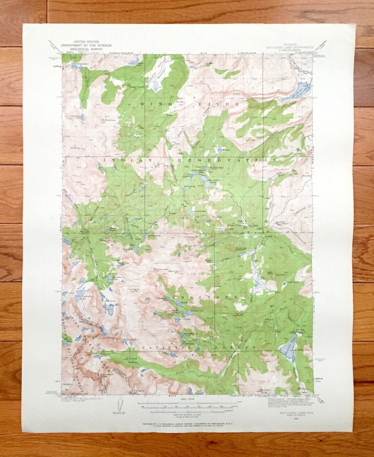
Antique Mocassin Lake, Wyoming 1937 US Geological Survey Topographic Map – Wind River Indian Reservation, Shoshone National Forest, WY
Antique Mocassin Lake, Wyoming 1937 US Geological Survey Topographic Map – Wind River Indian Reservation, Shoshone National Forest, WY
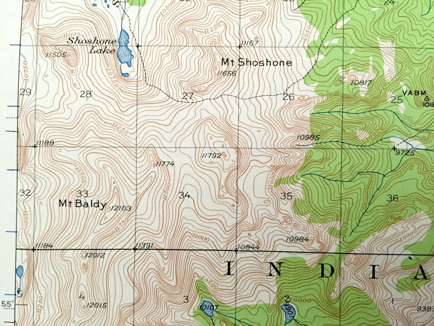
Beautiful, antique map of Mocassin Lake, Wyoming and surrounding Fremont & Sublette County area, including Wind River Indian Reservation and Shoshone National Forest. This is an authentic 1937 edition, 1958 print from the U.S. Geological Survey and NOT a computer reproduction.
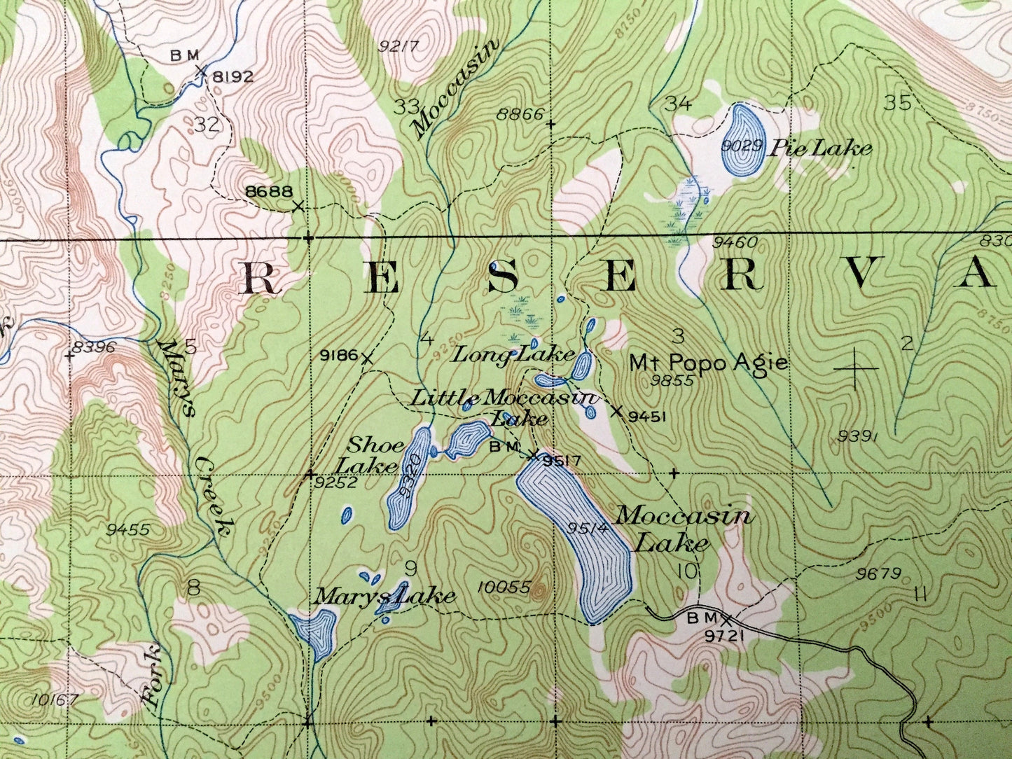
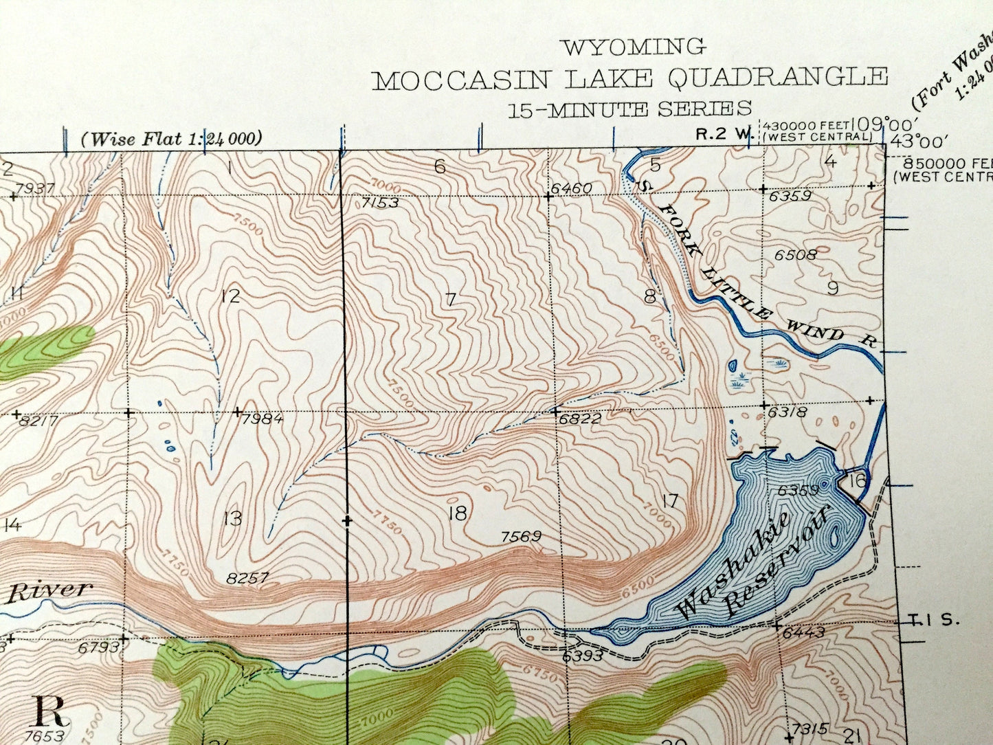
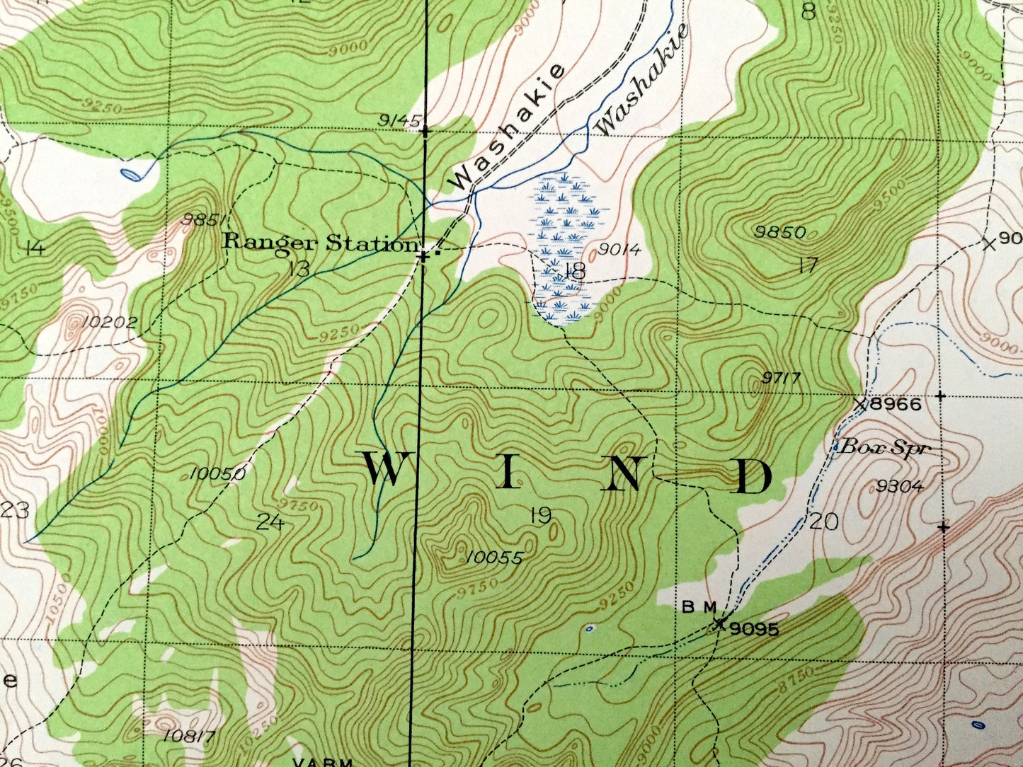
See what Wyoming looked like over 80 years ago. Lots of intricate details and geological contours. Map even has little squares for every house that existed at the time. The USGS cartographers were very thorough back then!
Perfect for the historian, map-lover, the curious or just as a conversation starter. Wonderful and rare. Maps such as these make great gifts.
Edition of 1937, printed 1958
Dimensions: 17" width x 21" height
----
Features
Points of Interest: Fremont County, Sublette County, Wind River Indian Reservation, Shoshone National Forest, Bridger National Forest, Twin Lakes, Yahtic Lake, Washakie Reservoir, Mocassin Lake, Grave Lake, Gaylord Lake, Moss Lake, Washakie Lake, South Fork Lakes, Shoshone Lake, Little Wind River, Bald Mountain, Black Mountain, Hobbs Peak, Sand Creek, Cathedral Peak, Lizard Head Peak, Continental Divide, Lizard Head Meadows, Sanford Park, Popo Agie River and lots more creeks, mountains, ranges, lakes, houses and roads.
Condition: Very Good condition, commensurate with age. This map is in great shape for being over 60 years old. Has light wear, but this will add to vintage character when framed.
----
We will happily adjust shipping price for multiple purchases. Maps are rolled up and shipped in sturdy mailing tubes, never folded.
Couldn't load pickup availability
Share