My Store
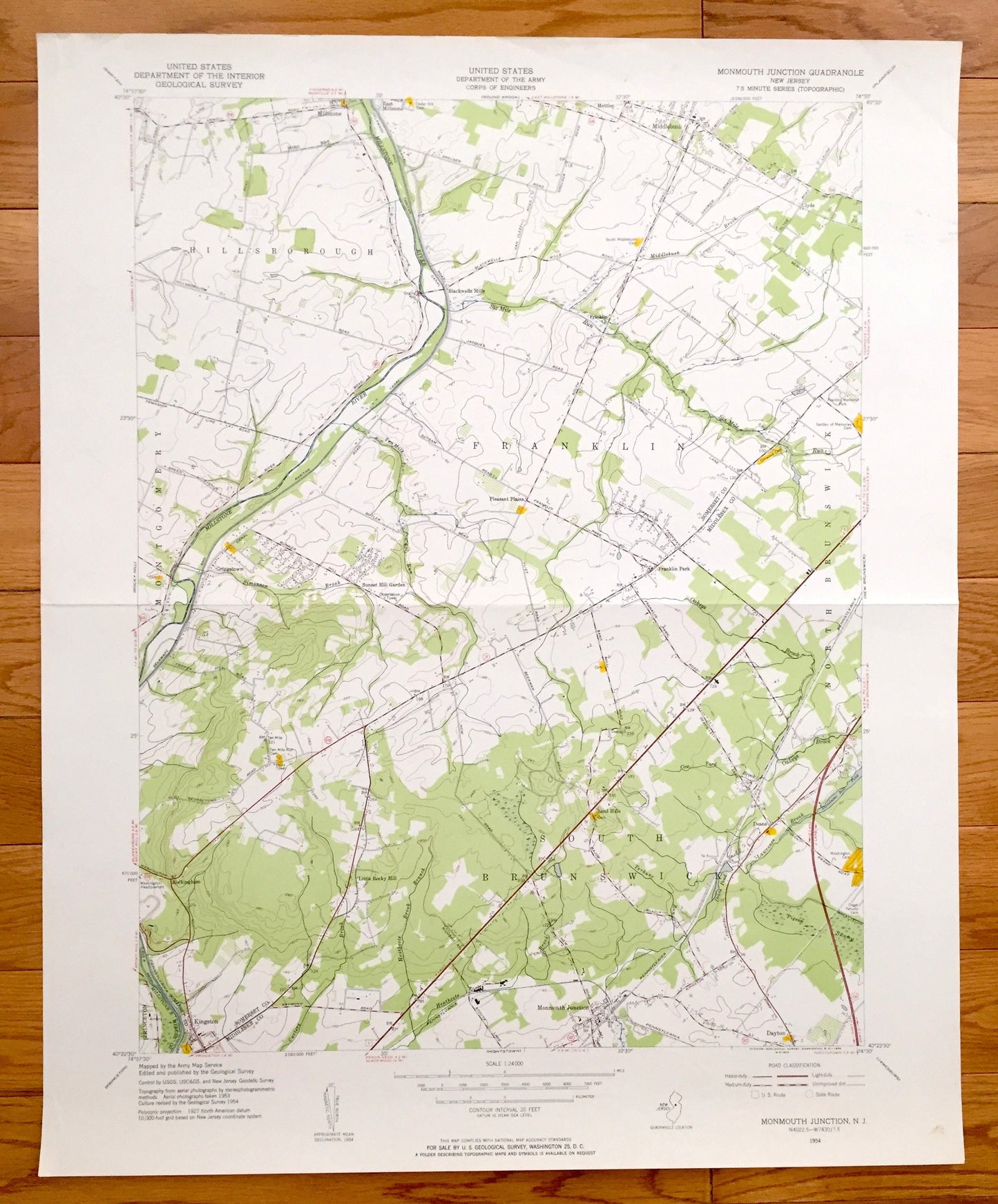
Antique Monmouth Junction, New Jersey 1954 US Geological Survey Topographic Map – Hillsborough, Franklin, South Brunswick, Montgomery, NJ
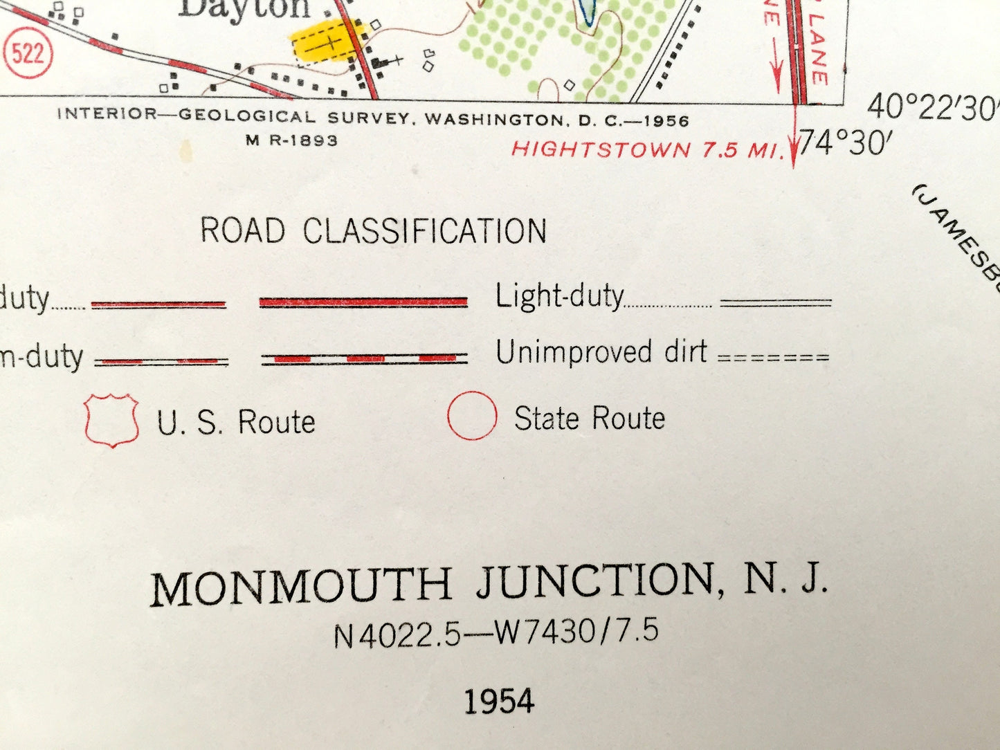
Antique Monmouth Junction, New Jersey 1954 US Geological Survey Topographic Map – Hillsborough, Franklin, South Brunswick, Montgomery, NJ
Beautiful, antique map of Monmouth Junction, South Brunswick, Kendal Park, Sunset Hill Garden, Hillsborough and Middlebush, New Jersey. This is an authentic 1954 print of 1954 survey data from the U.S. Geological Survey and NOT a computer reproduction.
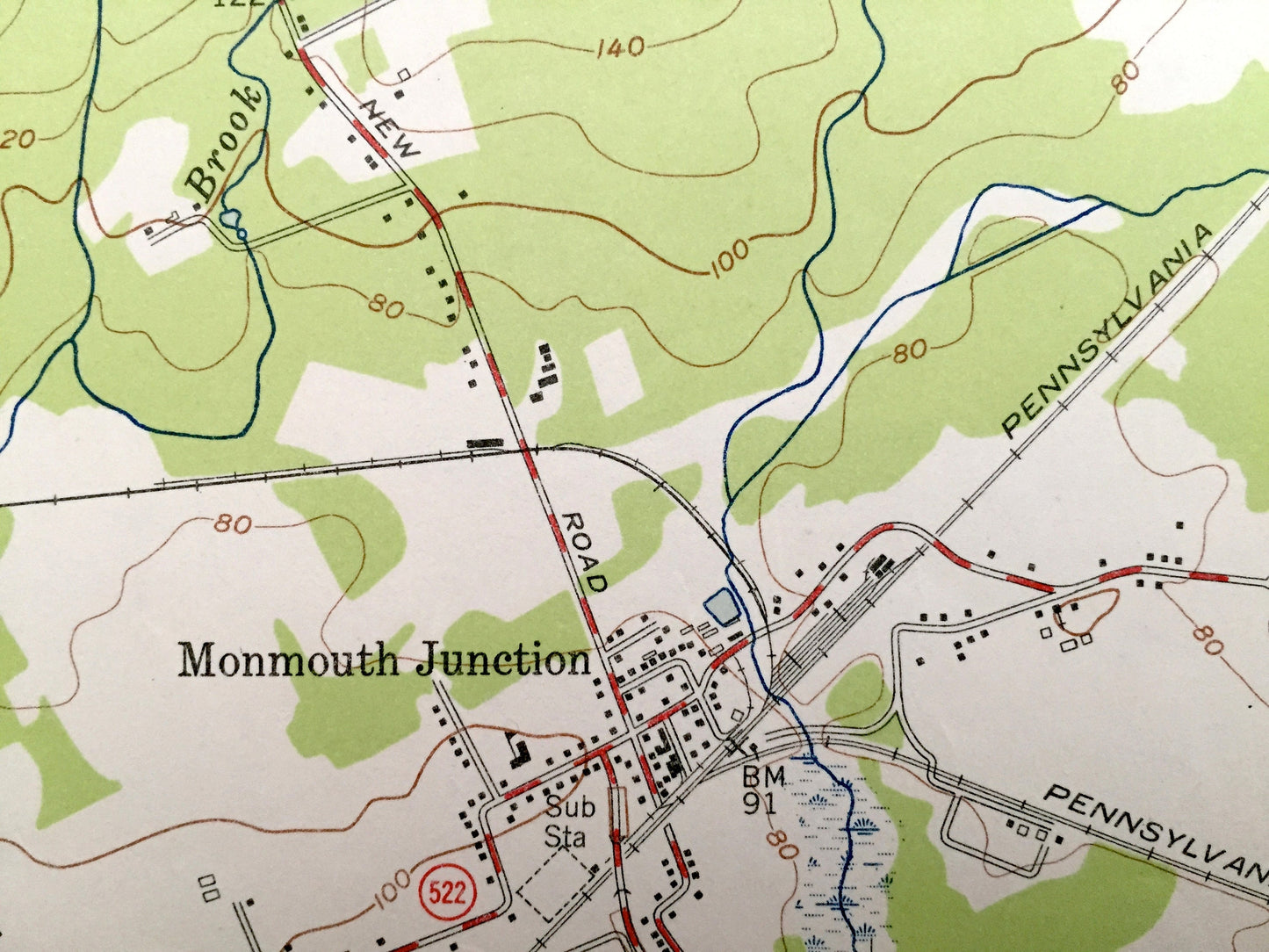
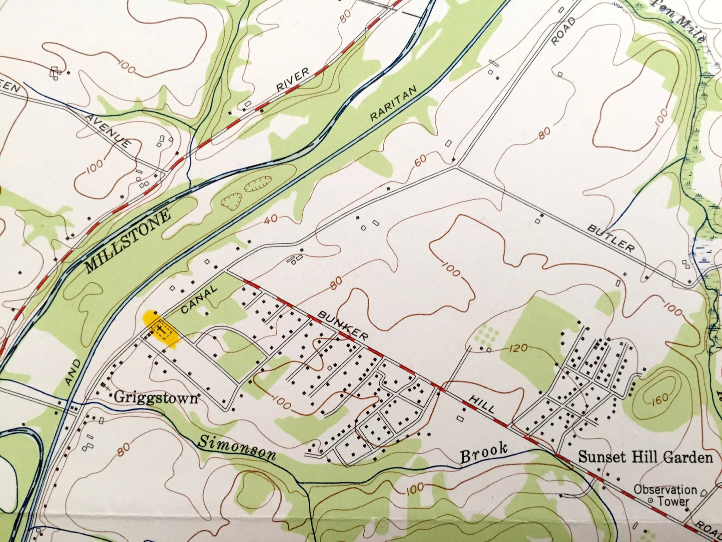
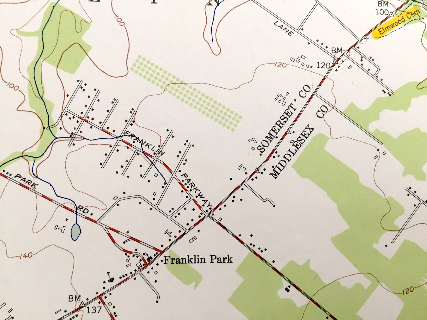
See what Somerset and Middlesex Counties of New Jersey looked like over 60 years years ago. Lots of intricate details and geological contours. Map even has little squares for every house that existed at the time. The USGS cartographers were very thorough back then!
Perfect for the historian, map-lover, the curious or just as a conversation starter. Wonderful and rare. Vintage maps such as these make great gifts.
Edition of 1954, printed 1954
Dimensions: 22" width x 27" height
----
Features
Cities & Towns: Hillsborough, Millstone, East Millstone, Middlebush, Clyde, Franklin, Pleasant Plains, Sunset Hill Garden, Kendall Park, Little Rocky Hill, Kingston, Griggstown, Montgomery, Rockingham, Manmouth Junction, Dayton, South Brunswick, Sand Hills, Deans, North Brunswick, Franklin Park, Blackwells Mills.
Points of Interest: Six Mile Run, Delaware And Raritan Canal Park, Sunset Hill Garden Observation Tower, Franklin Church, Davidsons Millpond Park, Pigeon Swamp, Millstone Riverand lots more hills, streams, ponds, churches, houses, and roads.
Condition: Very Good condition, commensurate with age. This map is in incredible shape for being over 60 years old.
----
We will happily adjust shipping price for multiple purchases. Maps are rolled up and shipped in sturdy mailing tubes, never folded.
Couldn't load pickup availability
Share