My Store
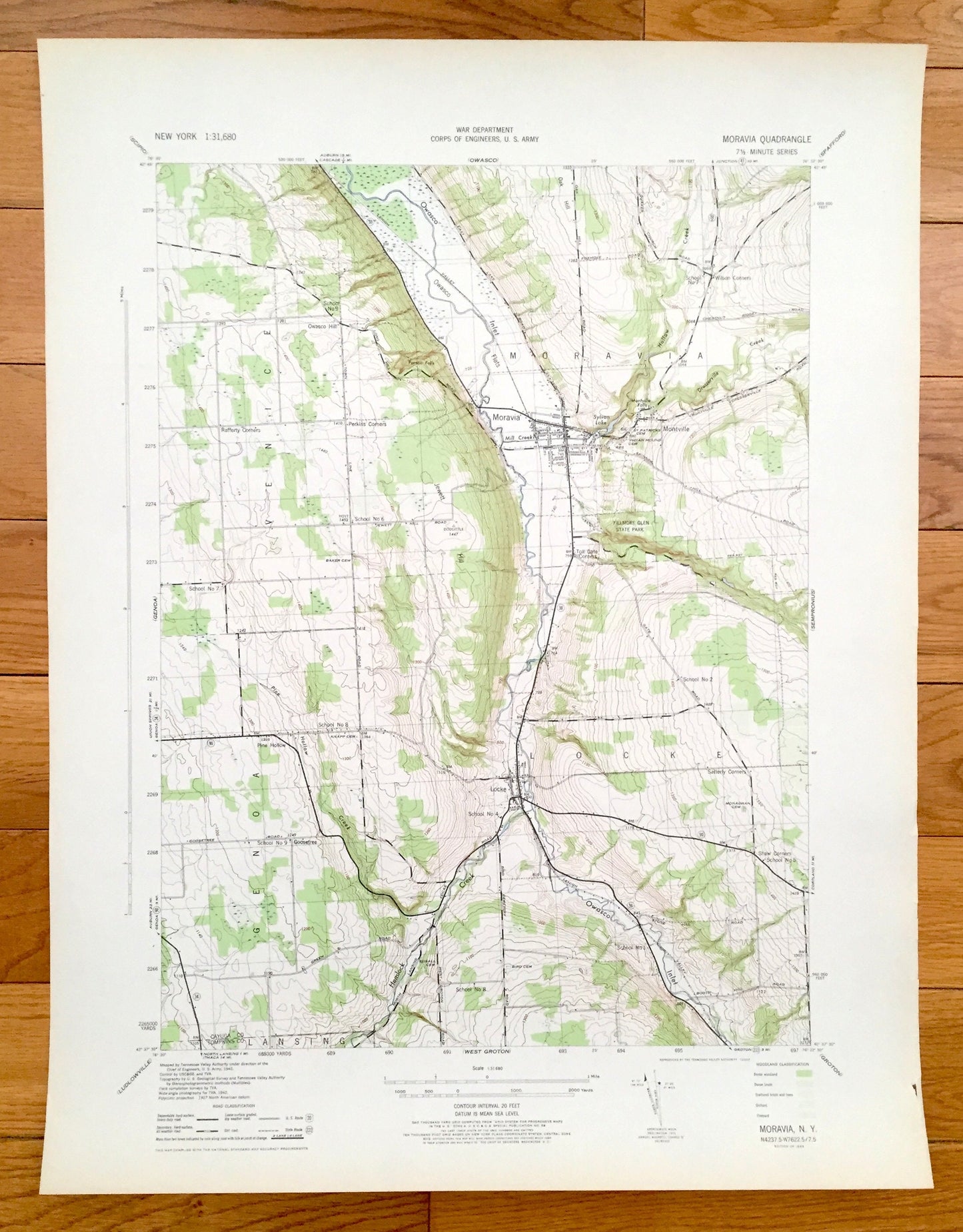
Antique Moravia, New York 1943 US Geological Survey Topographic Map – Venice, Genoa, Locke Montville Fillmore Glen Cayuga Tompkins County NY
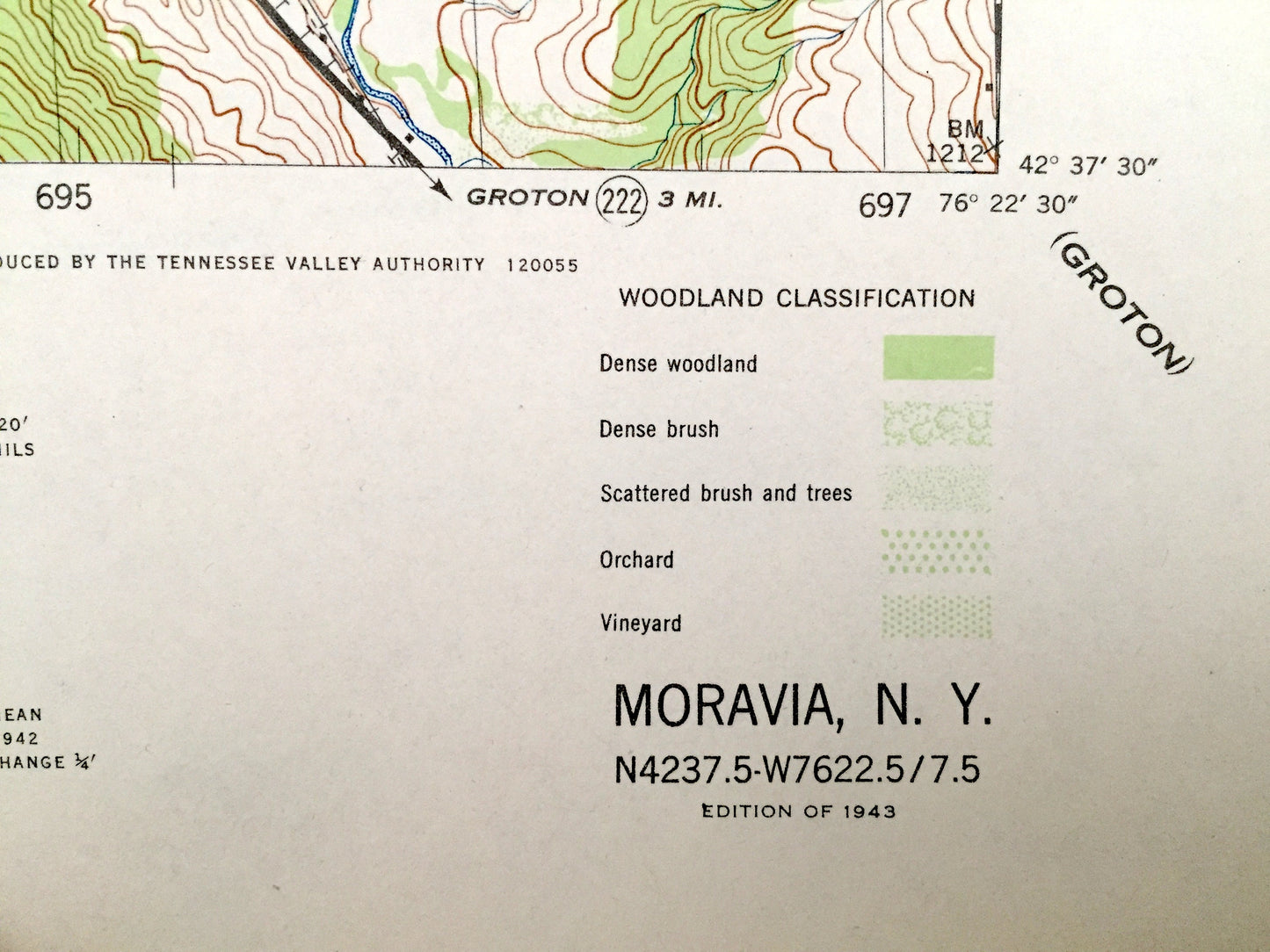
Antique Moravia, New York 1943 US Geological Survey Topographic Map – Venice, Genoa, Locke Montville Fillmore Glen Cayuga Tompkins County NY
Beautiful, antique map of Moravia, New York and surrounding Cauyuga, Tompkins & Cortland County area. This is an authentic 1943 print from the U.S. Geological Survey and NOT a computer reproduction.
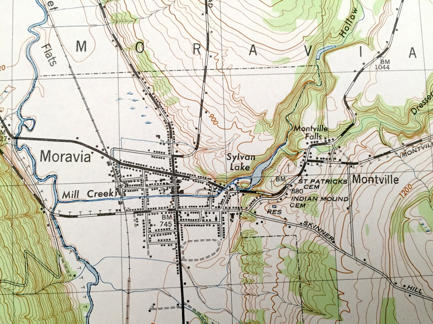
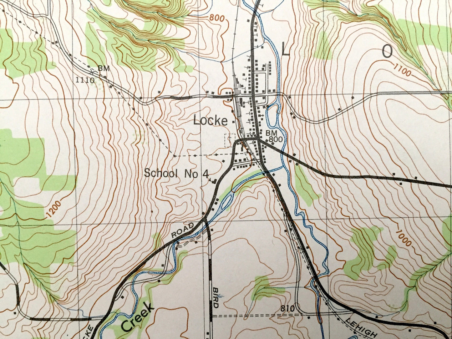
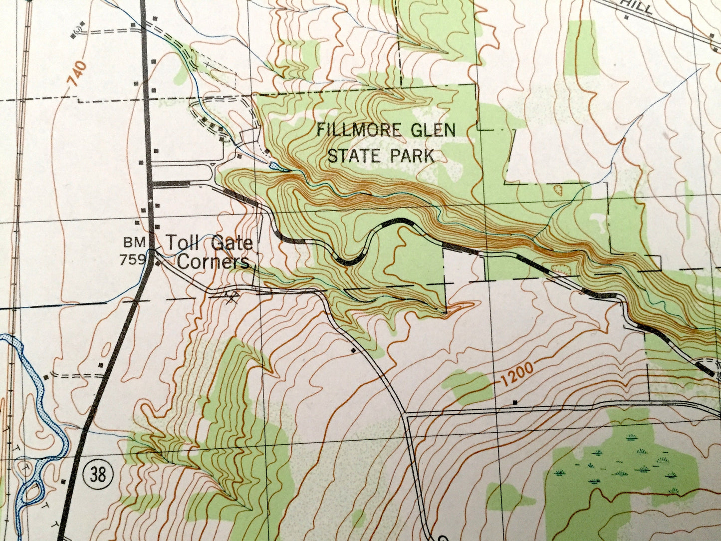
See what New York looked like over 75 years ago. Lots of intricate details and geological contours. Map even has little squares for every house that existed at the time. The USGS cartographers were very thorough back then!
Perfect for the historian, map-lover, the curious or just as a conversation starter. Wonderful and rare. Vintage maps such as these make great gifts.
Edition of 1943, printed 1943
Dimensions: 17" width x 22" height
----
Features
Cities & Towns: Venice, Genoa, Moravia, Sempronius, Scott, Locke, Summer Hill, Homer, Lansing, Groton, Cortlandville, Dryden, Virgil, Owasco Hill, Montville, Centerville, Lickville, Dresserville, Como, Goosetree, Nubia, Lafayette, Midway, Pleasant Valley, Peruville, Asbury, McLean, Malloryville, Red Mill, Freeville, Junior Republic.
Points of Interest: Cauyuga County, Tompkins County, Cortland County, Owasco Inlet, Jewett Hill, Lake Como, Fall Creek, Lehigh Valley Railroad, Fillmore Glen State Park, and many more towns, ponds, hills, mountains, hollows, creeks, houses, and roads.
Condition: Very Good Vintage condition, commensurate with age. This map is in great shape for being over 75 years old.
----
We will happily adjust shipping price for multiple purchases. Maps are rolled up and shipped in sturdy mailing tubes, never folded.
Couldn't load pickup availability
Share