My Store
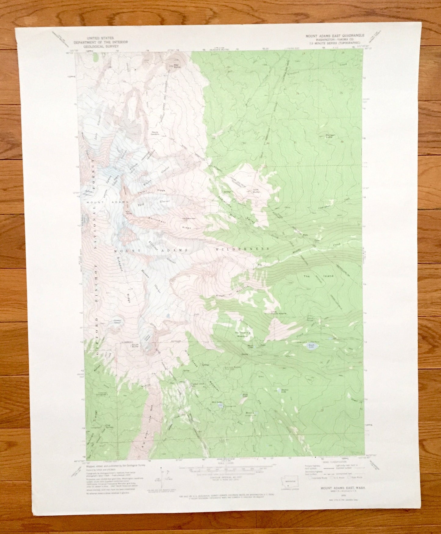
Antique Mount Adams, Washington 1970 US Geological Survey Topographic Map – Yakima County, Gifford Pinchot Forest, Pacific Trail Hellroaring
Antique Mount Adams, Washington 1970 US Geological Survey Topographic Map – Yakima County, Gifford Pinchot Forest, Pacific Trail Hellroaring
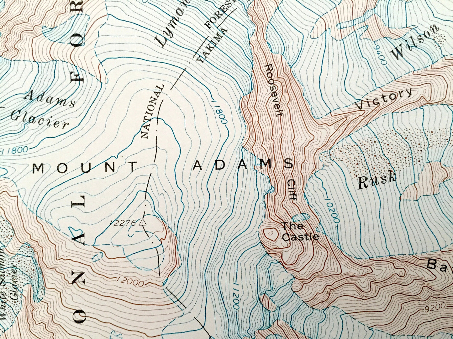
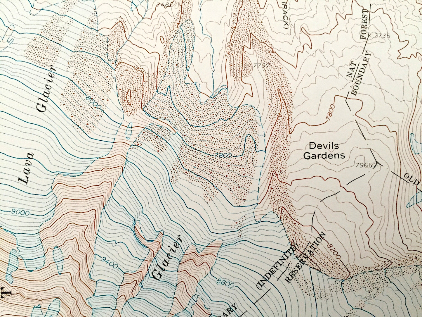
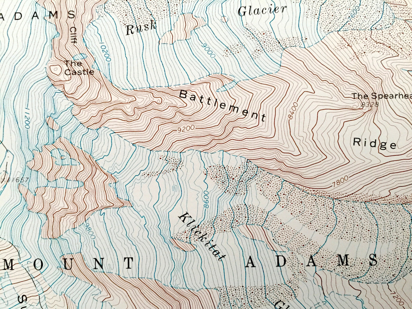
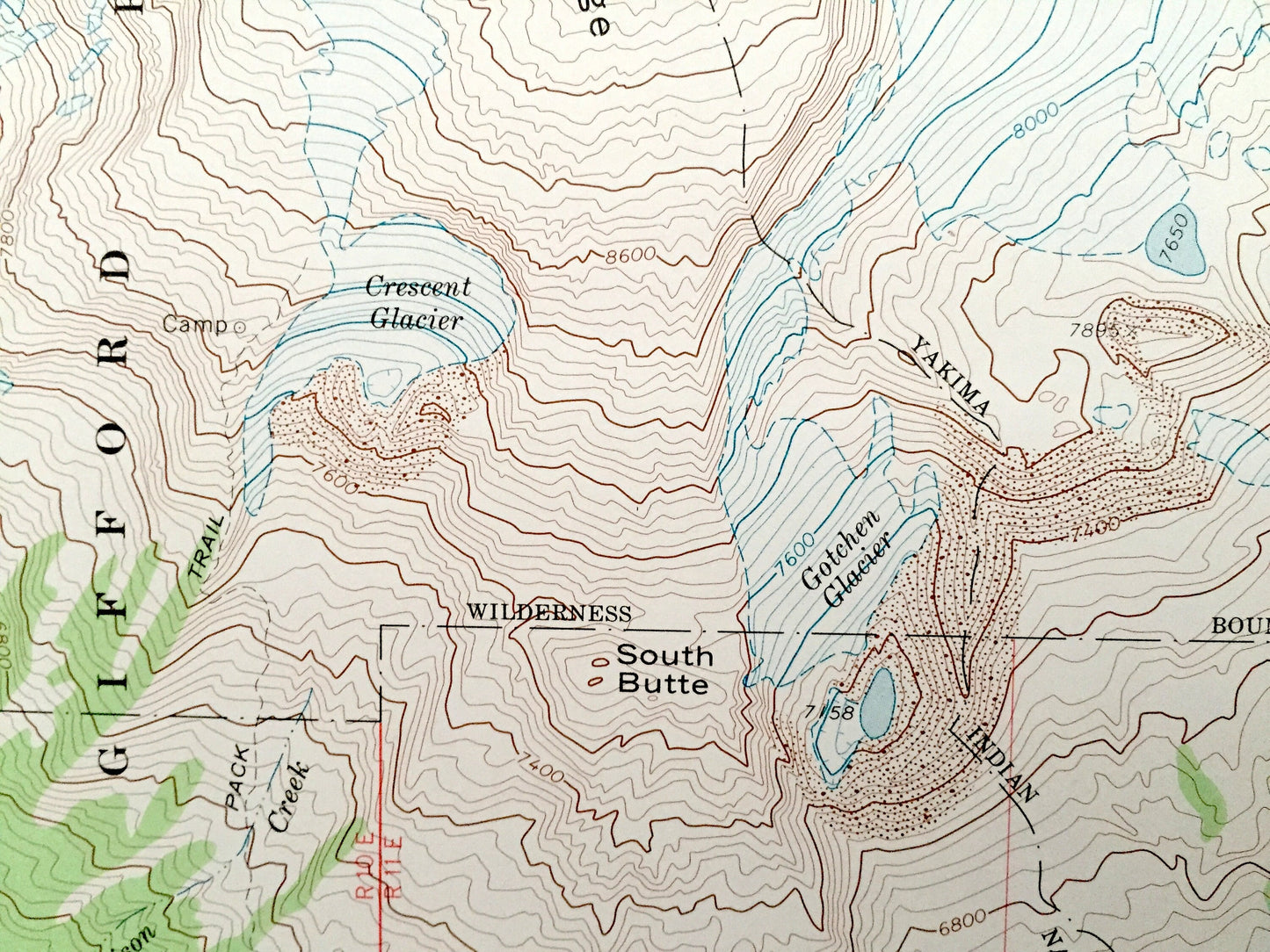
Beautiful, antique map of Mount Adams, Washington and surrounding Gifford Pinchot National Forest area. This is an authentic 1970 edition, 1974 print from the U.S. Geological Survey and NOT a computer reproduction.
See what Yakima County looked like almost 50 years ago. Lots of intricate details and geological contours. Map even has little squares for every house that existed at the time. The USGS cartographers were very thorough back then!
Perfect for the historian, map-lover, the curious or just as a conversation starter. Wonderful and rare. Vintage maps such as these make great gifts.
Edition of 1970, printed 1974
Dimensions: 22" width x 27" height
----
Features
Points of Interest: Gifford Pinchot National Forest, Mount Adams, Yakima County, Red Butte, Suksdorf Ridge, South Butte, Hellroaring Creek, Hellroaring Meadow, Bird Creek Meadows, Avalanche Valley, The Island, Rusk Creek, and lots more hills, glaciers, mountains, brooks, canyons and rivers.
Condition: Very Good condition, commensurate with age. This map is in great shape for being almost 50 years old. Has some edge-wear, but this will add to the vintage character when framed.
----
We will happily adjust shipping price for multiple purchases. Maps are rolled up and shipped in sturdy mailing tubes, never folded.
Couldn't load pickup availability
Share