My Store
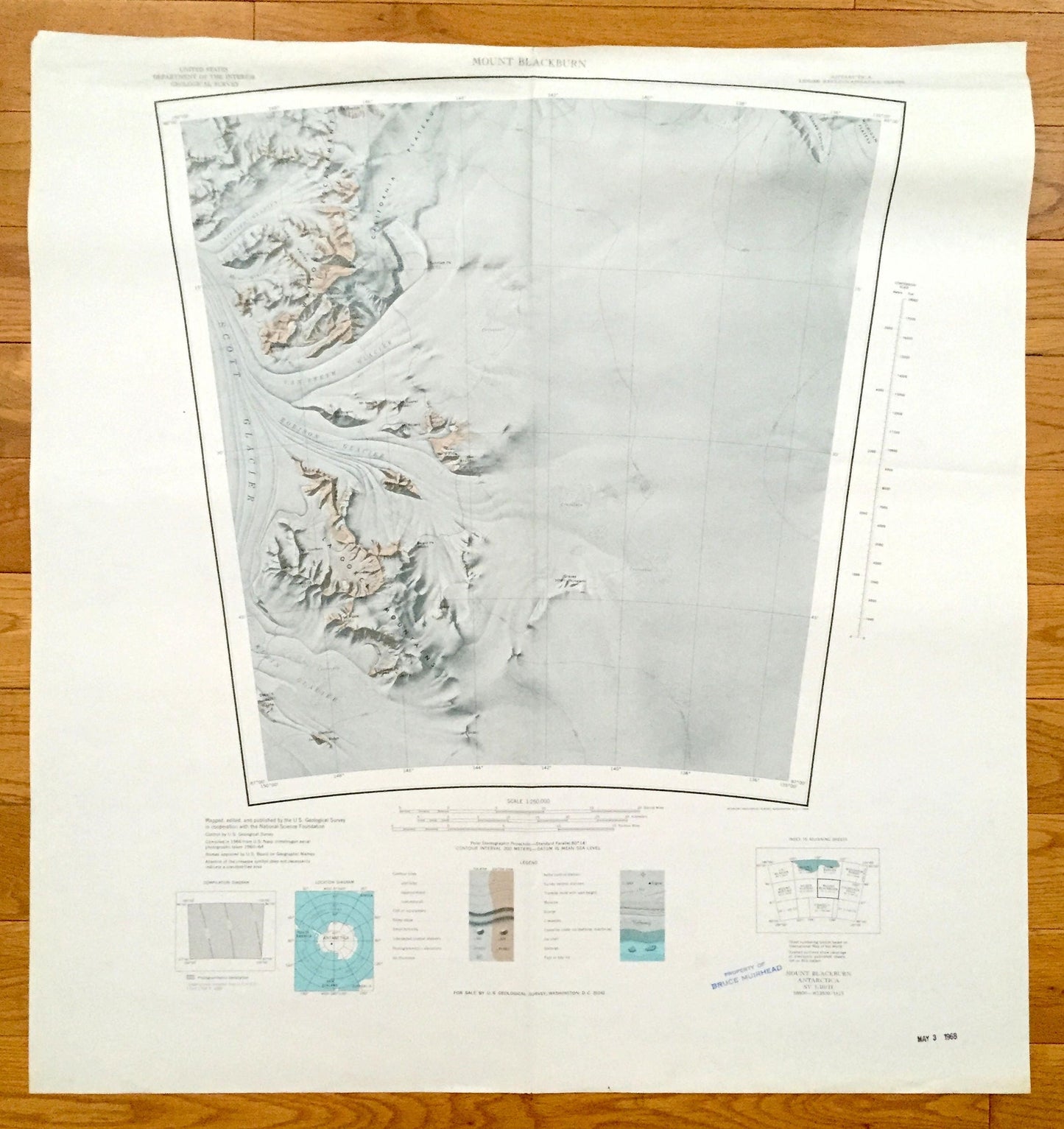
Antique Mount Blackburn, Antarctica 1966 US Geological Survey Topographic Map – Watson Escarpment, La Gorce Mountains, Scott Glacier
Antique Mount Blackburn, Antarctica 1966 US Geological Survey Topographic Map – Watson Escarpment, La Gorce Mountains, Scott Glacier
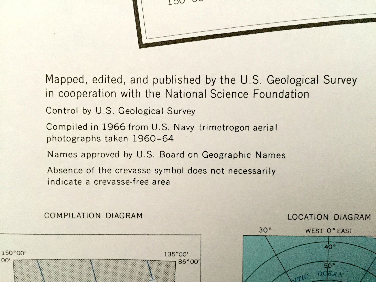
Beautiful, antique map of Mount Blackburn and the Watson Escarpment area of Antarctica. This is an authentic 1966 print from the U.S. Geological Survey Reconnaissance Series and not a computer reprint.
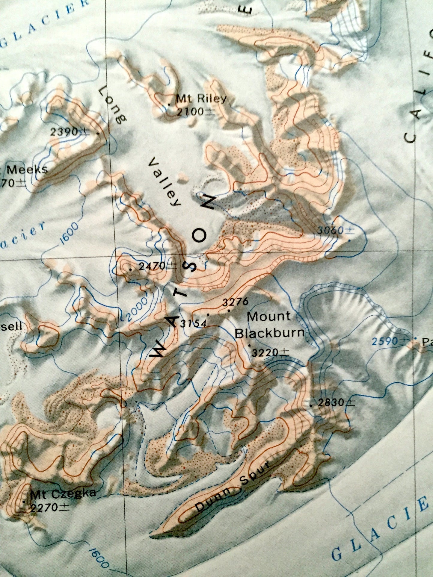
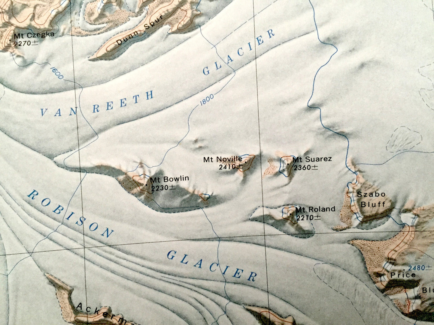
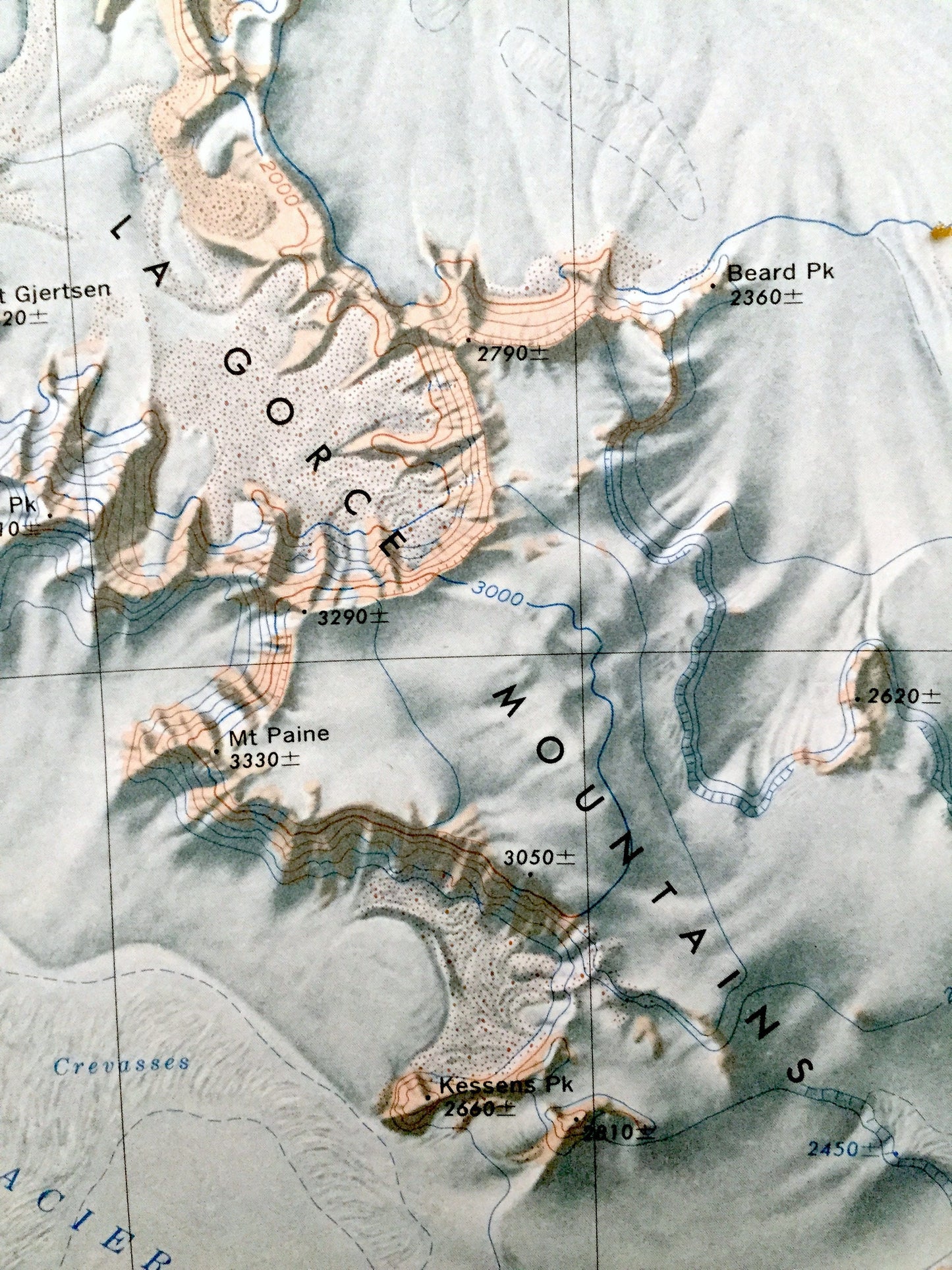
See what Antarctica looked like almost 60 years ago. Lots of intricate details and geological contours. The USGS cartographers were very thorough back then!
Perfect for the historian, map-lover, the curious or just as a conversation starter. Wonderful and rare. Vintage maps such as these make great gifts.
Edition of 1966, printed 1966
Dimensions: 26" width x 27" height
----
Features
Points of Interest: Watson Escarpment, La Gorce Mountains, Scott Glacier, Robison Glacier, Van Reeth Glacier, California Plateau, Klein Glacier, Griffith Glacier, Mount Blackburn, Beard Peak, Mt. Grief, Mt. Meeks, Price Bluff, Szabo Bluff, Long Valley, Mt. Paine, Mount Mooney, Ackerman Ridge and many more mountains, glaciers, inlets, promontories, crevasses, névés, massifs and bays.
Condition: Good condition, commensurate with age. This map is in incredible shape for being almost 60 years old. Has some edge-wear, all of which will read as vintage character when framed.
----
We will happily adjust shipping price for multiple purchases. Maps are rolled up and shipped in sturdy mailing tubes, never folded.
Couldn't load pickup availability
Share