My Store
Antique Mt Rose, Nevada 1968 US Geological Survey Topographic Map – Washoe County, Toiyabe National Forest, Carson Range, Incline Village NV
Antique Mt Rose, Nevada 1968 US Geological Survey Topographic Map – Washoe County, Toiyabe National Forest, Carson Range, Incline Village NV
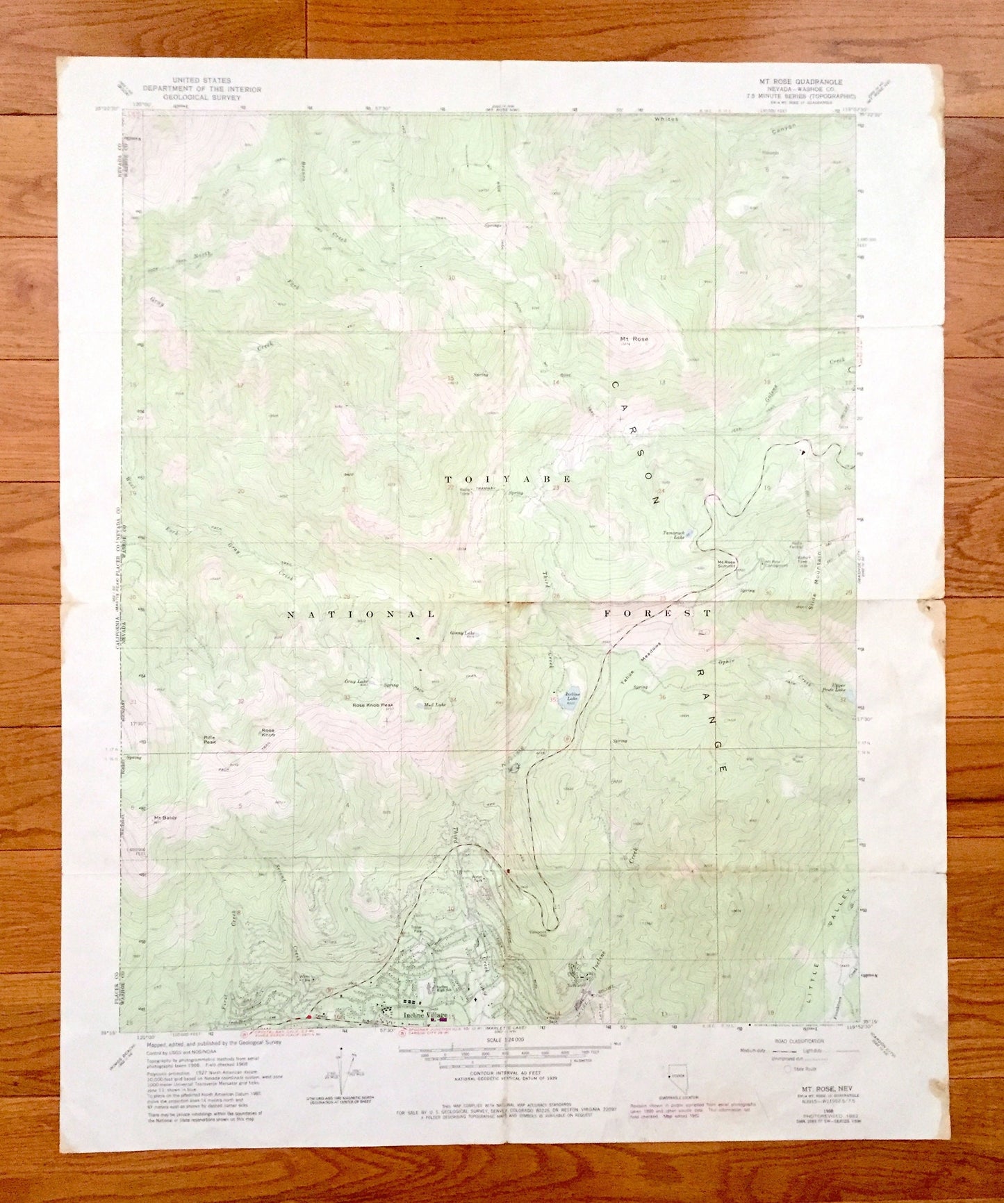
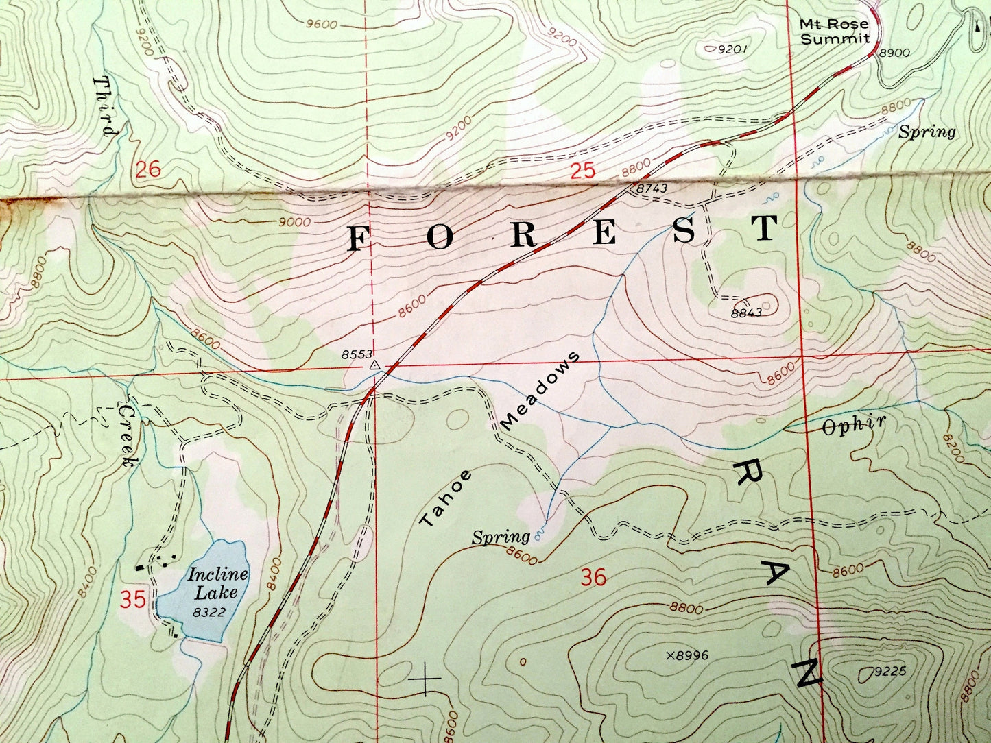
Beautiful, antique map of Mt Rose, Nevada and surrounding Washoe County area, including Toiyabe National Forest north of Lake Tahoe. This is an authentic 1968 edition, 1983 print from the U.S. Geological Survey and NOT a computer reproduction.
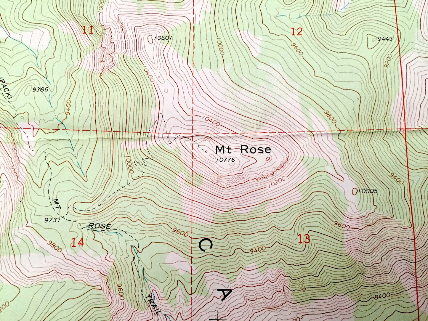
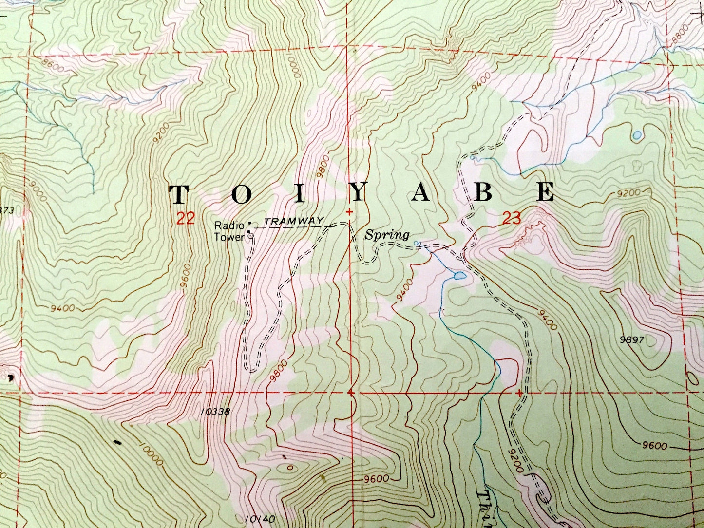
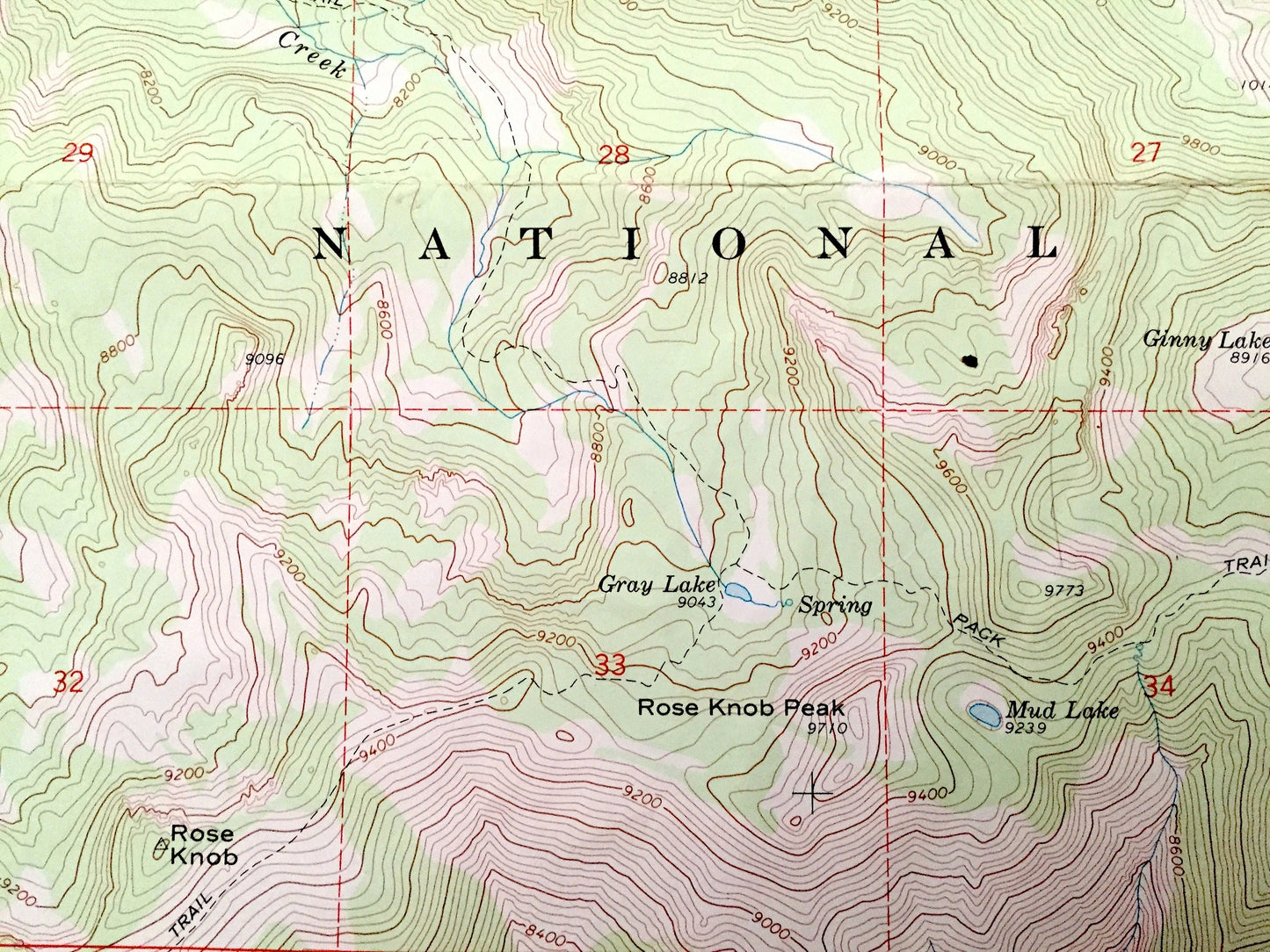
See what the Nevada looked like over 50 years ago. Lots of intricate details and geological contours. Map even has little squares for every house that existed at the time. The USGS cartographers were very thorough back then!
Perfect for the historian, map-lover, the curious or just as a conversation starter. Wonderful and rare. Vintage maps such as this make great gifts.
Edition of 1968, printed 1983
Dimensions: 22" width x 27" height
----
Features
Cities & Towns: Incline Village.
Points of Interest: Washoe County, Toiyabe National Forest, Carson Range, Incline Lake, Rose Knob, Rose Knob Peak, Rifle Peak, Mt Rose Campground, and many more, valleys, creeks, mountains, houses, roads and train tracks.
Condition: Good or "Very Vintage" condition, commensurate with age. This map is in great shape for being about 40 years old. Has some wear, edge-stains and folds as-issued, but these will flatten easily and all will add to character when framed.
----
We will happily adjust shipping price for multiple purchases. Maps are rolled up and shipped in sturdy mailing tubes, never folded.
Couldn't load pickup availability
Share