My Store
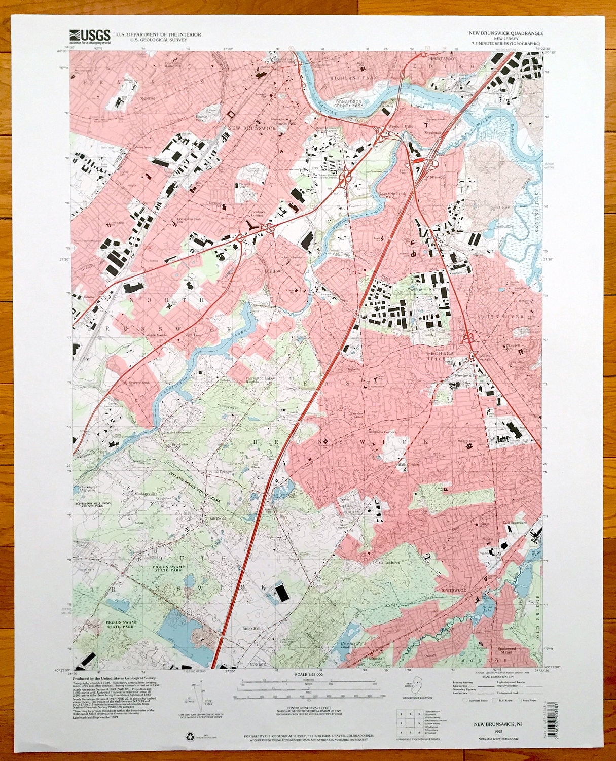
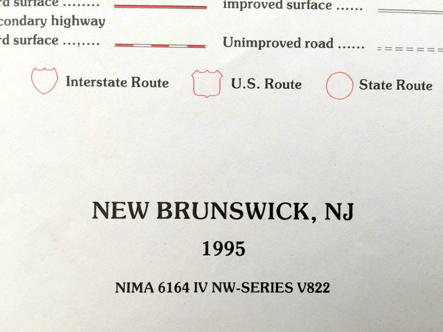
Antique New Brunswick, New Jersey 1995 US Geological Survey Topographic Map – South River, Spotswood, Highland Park, Franklin, Milltown
Antique New Brunswick, New Jersey 1995 US Geological Survey Topographic Map – South River, Spotswood, Highland Park, Franklin, Milltown
Beautiful, antique map of New Brunswick, Orchard Heights, South River, Highland Park and Franklin, New Jersey. This is an authentic 1995 print from the U.S. Geological Survey and NOT a computer reproduction.
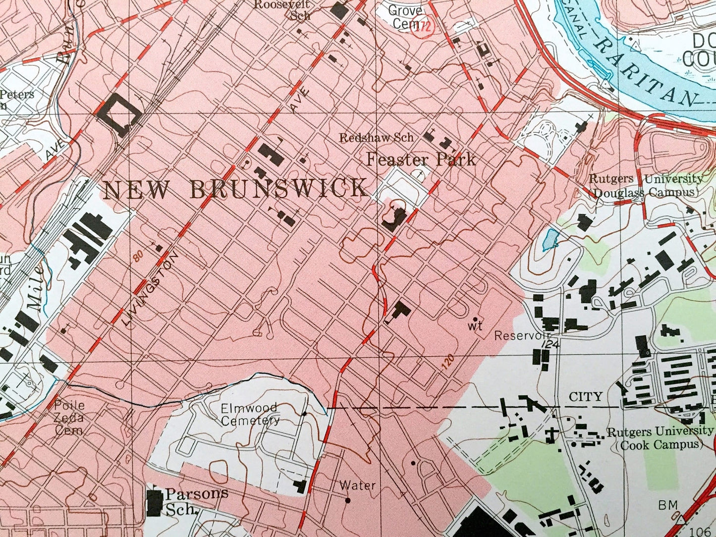
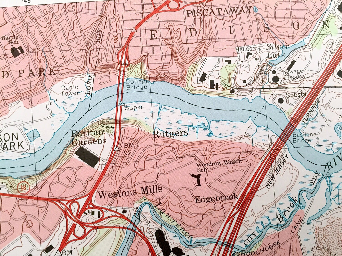
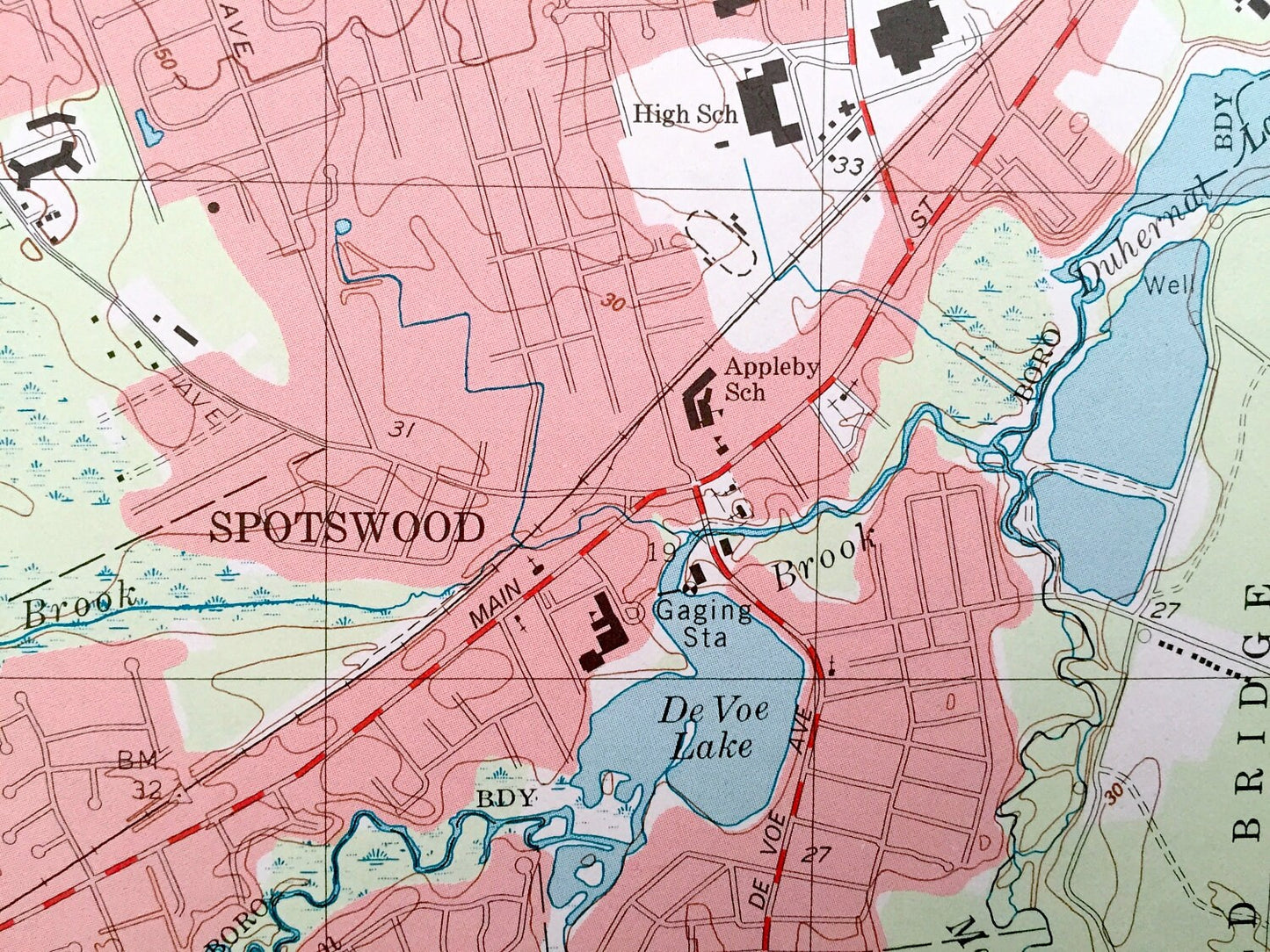
See what Middlesex and Somerset Counties of New Jersey looked like over 20 years years ago. Lots of intricate details and geological contours. Map even has little squares for every house that existed at the time. The USGS cartographers were very thorough back then!
Perfect for the historian, map-lover, the curious or just as a conversation starter. Wonderful and rare. Vintage maps such as these make great gifts.
Edition of 1995, printed 1995
Dimensions: 22" width x 27" height
----
Features
Cities & Towns: Franklin, New Brunswick, Berdines Corners, Milltown, North Brunswick, Highland park, Edison, Piscataway, Washington Heights, Orchard Heights, South River, Old Bridge, Spotswood, East Brunswick, Fresh Ponds, Rhode Hall, Jamesburg Park, Helmetta, Patricks Corners, Brookview, Red Lion, Lawrence Brook Manor.
Points of Interest: Pennsylvania Central Railroad, John Adams School, Parsons School, Raritan River, Silver Lake, Radio Tower (WCTC), Central School, Campbell School, McGinnis School, Tamarack County Park, Farrington Lake, Lady of Peace Church, Davidsons Millpond County Park, Pigeon Swamp State Park, Helmetta Pond, De Voe Lake, Rutgers University (Douglas Campus), and lots more hills, streams, ponds, churches, houses, schools and roads.
Condition: Very Good condition, commensurate with age. This map is in incredible shape for being over 20 years old.
----
We will happily adjust shipping price for multiple purchases. Maps are rolled up and shipped in sturdy mailing tubes, never folded.
Couldn't load pickup availability
Share