My Store
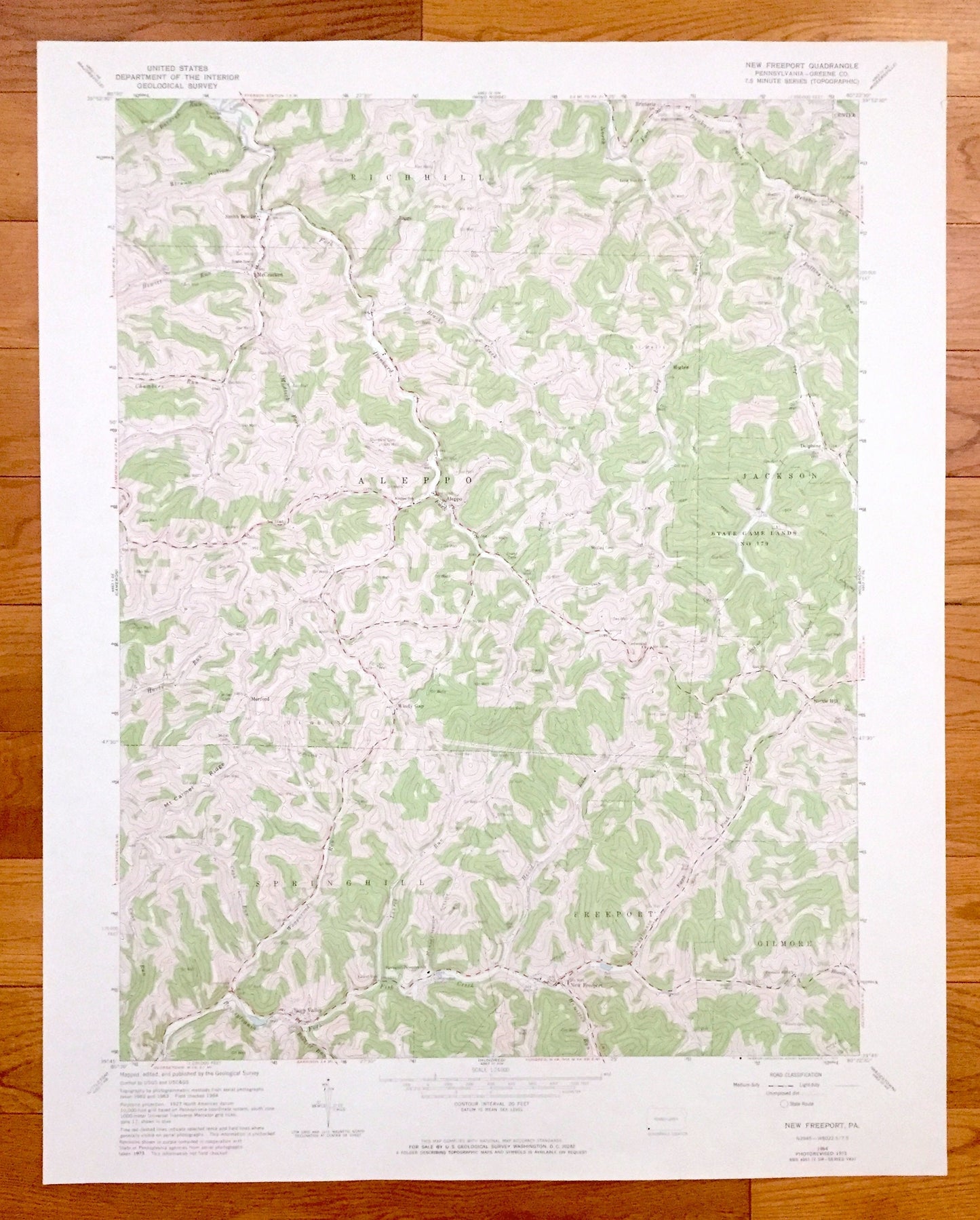
Antique New Freeport, Pennsylvania 1964 US Geological Survey Topographic Map – Greene County, Aleppo, Springhill, Richhill, Jackson, Gilmore
Antique New Freeport, Pennsylvania 1964 US Geological Survey Topographic Map – Greene County, Aleppo, Springhill, Richhill, Jackson, Gilmore
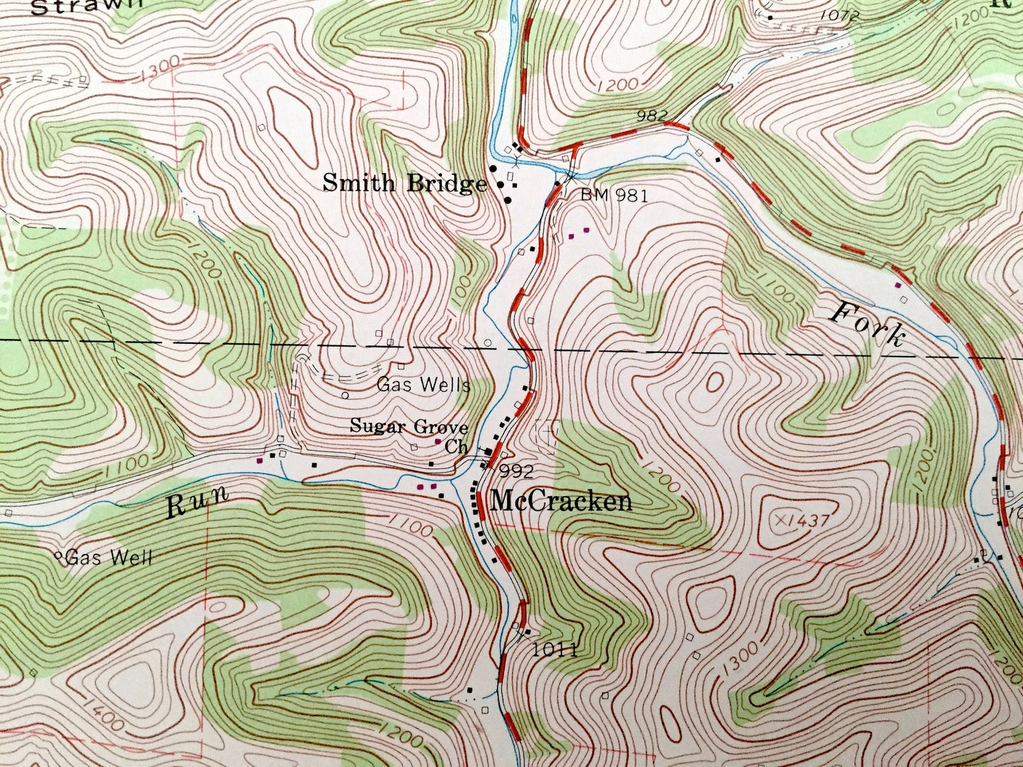
Beautiful, antique map of New Freeport, Pennsylvania and surrounding Greene County areas. This is an authentic 1964 edition, 1973 print from the U.S. Geological Survey and NOT a computer reproduction.
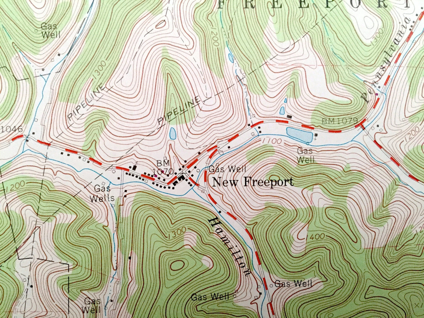
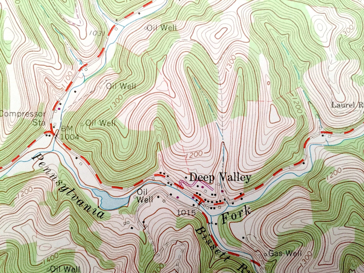
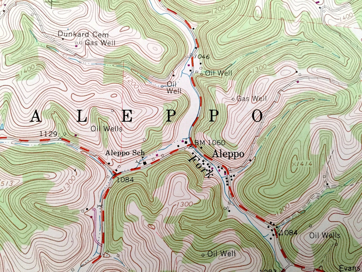
See what Pennsylvania looked like over 55 years ago. Lots of intricate details and geological contours. Map even has little squares for every house that existed at the time. The USGS cartographers were very thorough back then!
Perfect for the historian, map-lover, the curious or just as a conversation starter. Wonderful and rare. Vintage maps such as these make great gifts.
Edition of 1964, printed 1973
Dimensions: 22" width x 27" height
----
Features
Cities & Towns: New Freeport, Freeport, Deep Valley, Nettle Hill, Windy Gap, Morford, Higbee, McCracken, Riggs, Smith Bridge, Bristoria, Center, Delphene.
Points of Interest: Greene County, Mount Carmel Ridge, Harts Run, Falling Timber Run, Strawn Hollow, Dunkard Fork, Mudlick Fork, Pennsylvania Fork Fish Creek and lots more hills, streams, ponds, schools, churches, houses, and roads.
Condition: Very Good condition, commensurate with age. This map is in incredible shape for being over 45 years old. Has light edge-wear, all of which will read as vintage character when framed.
----
We will happily adjust shipping price for multiple purchases. Maps are rolled up and shipped in sturdy mailing tubes, never folded.
Couldn't load pickup availability
Share