My Store
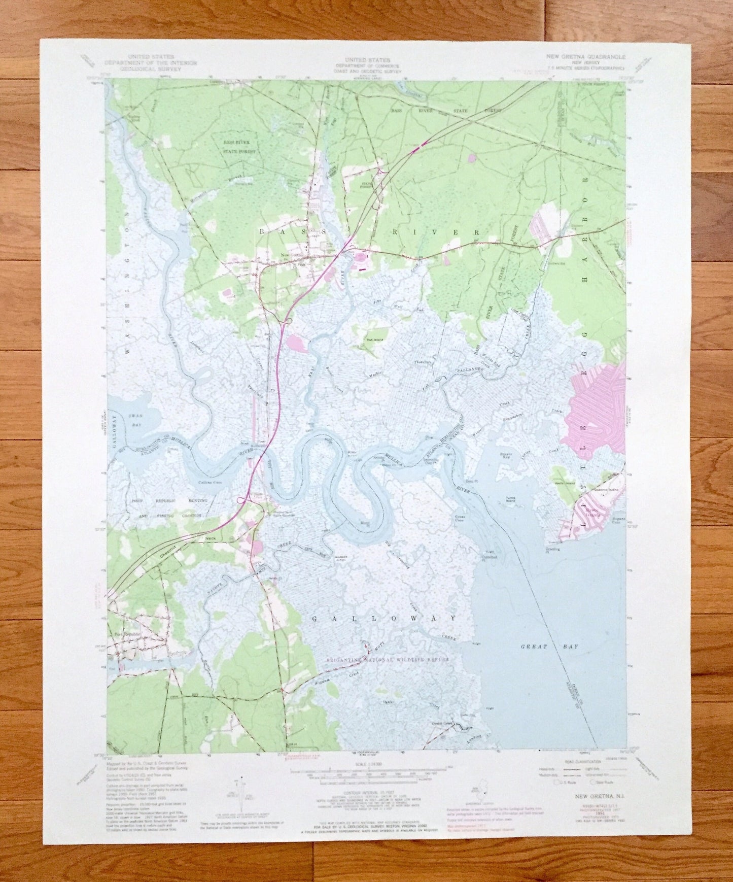
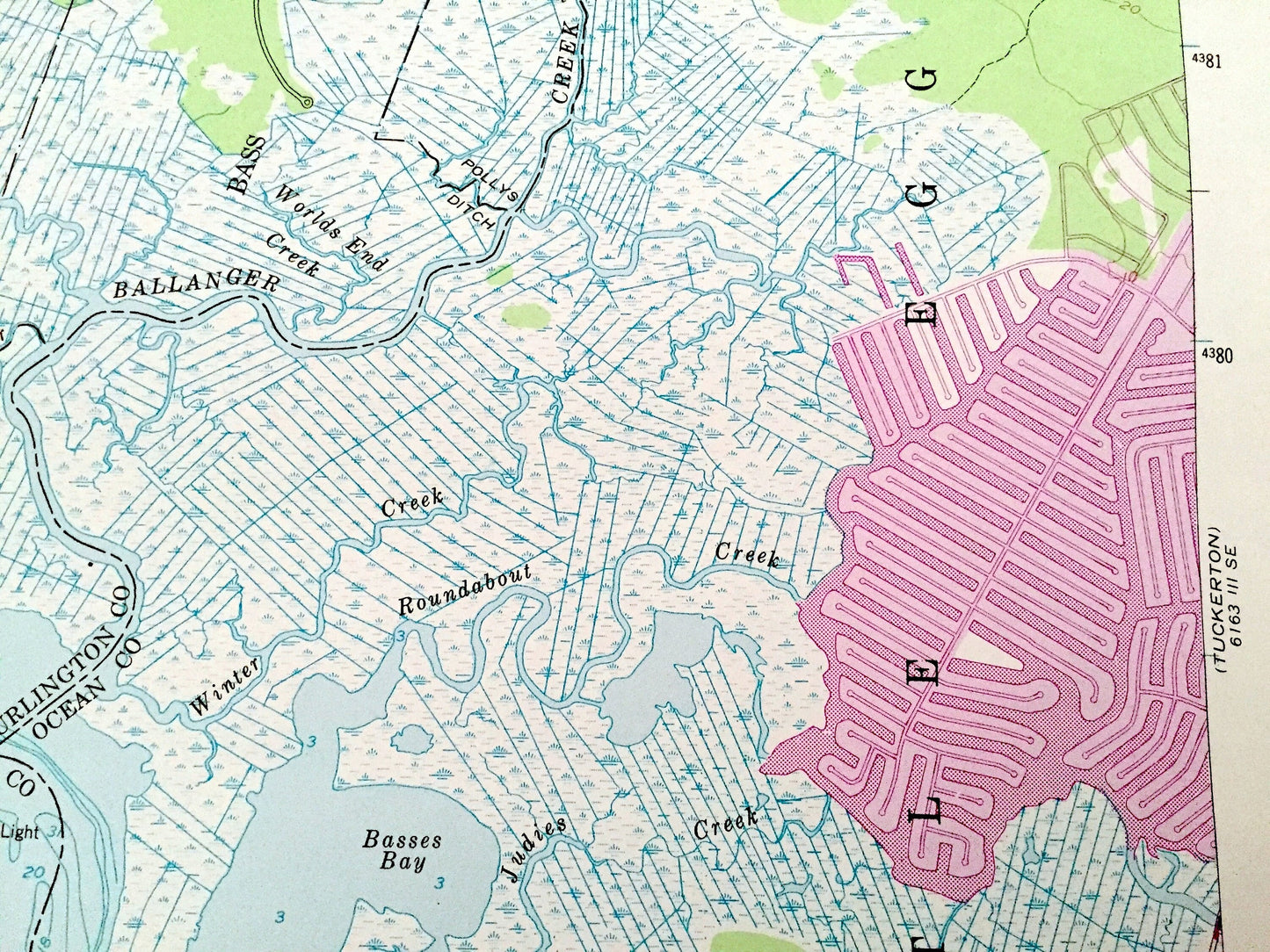
Antique New Gretna, New Jersey 1951 US Geological Survey Topographic Map – Atlantic, Burlington County, Washington, Bass River, Galloway, NJ
Antique New Gretna, New Jersey 1951 US Geological Survey Topographic Map – Atlantic, Burlington County, Washington, Bass River, Galloway, NJ
Beautiful, antique map of New Gretna, New Jersey and surrounding Burlington County, Ocean County, and Atlantic County areas. This is an authentic 1951 edition, 1981 print from the U.S. Geological Survey and NOT a computer reproduction.
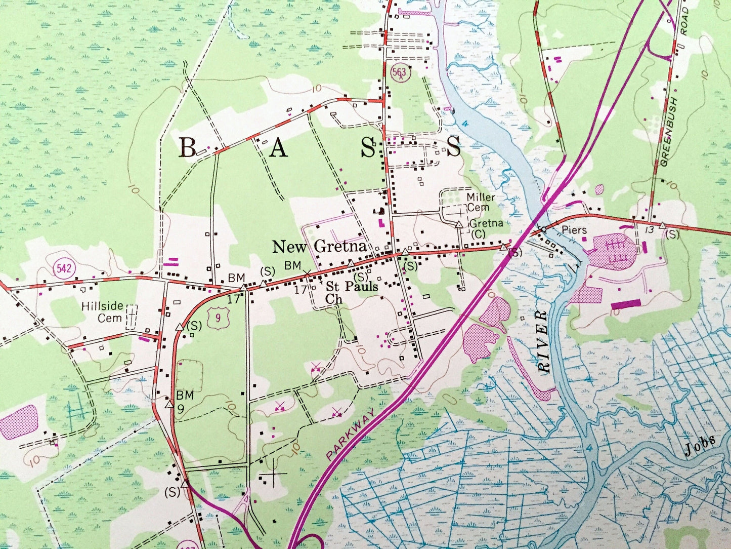
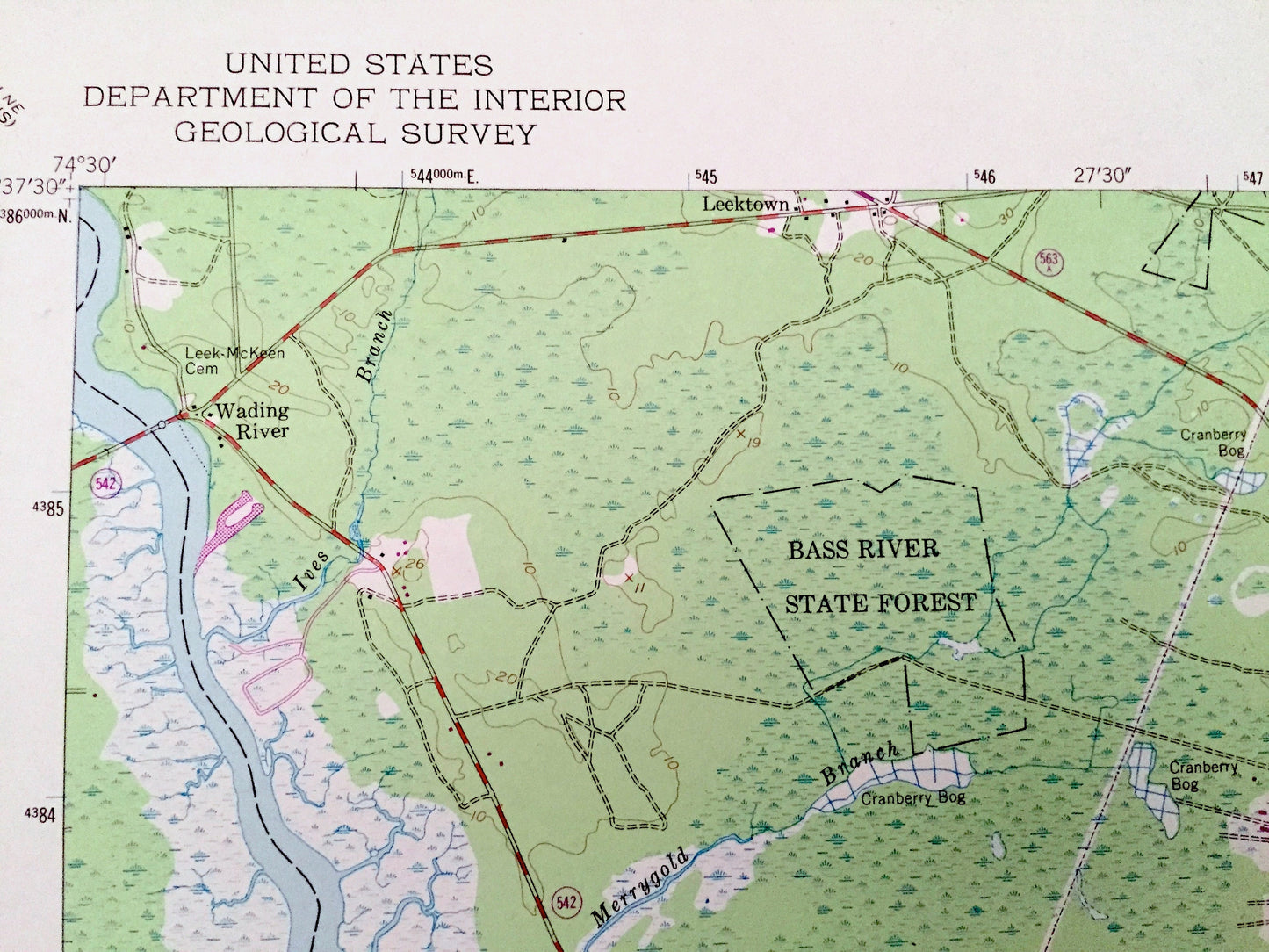
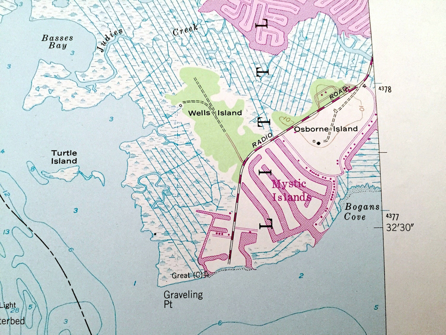
See what New Jersey looked like over 65 years ago. Lots of intricate details and geological contours. Map even has little squares for every house that existed at the time. The USGS cartographers were very thorough back then!
Perfect for the historian, map-lover, the curious or just as a conversation starter. Wonderful and rare. Vintage maps such as these make great gifts.
Edition of 1951, printed 1981
Dimensions: 22" width x 27" height
----
Features
Cities & Towns: Oyster Creek, Little Egg Harbor, Port Republic, Leektown.
Points of Interest: Bass River State Forest, Oak Island, Mystic Island, Brigantine National Wildlife Refuge, Wells Island, Osborn Island, Chestnut Neck, Port Republic Hunting and Fishing Grounds, Wading River, Mullins River, Nacote Creek, Great Bay, Bass River, Swan Bay, Ballanger Creek, Worlds End Creek, Mott Creek, Oyster Creek, Giffords Mill Branch, and many more hills, creeks, thorofares, streams, ponds, houses, schools, railroads, churches and roads.
Condition: Very Good Vintage condition, commensurate with age. This map is in great shape for being over 35 years old. Has light edge-wear but will add character when framed.
----
We will happily adjust shipping price for multiple purchases. Maps are rolled up and shipped in sturdy mailing tubes, never folded.
Couldn't load pickup availability
Share