My Store
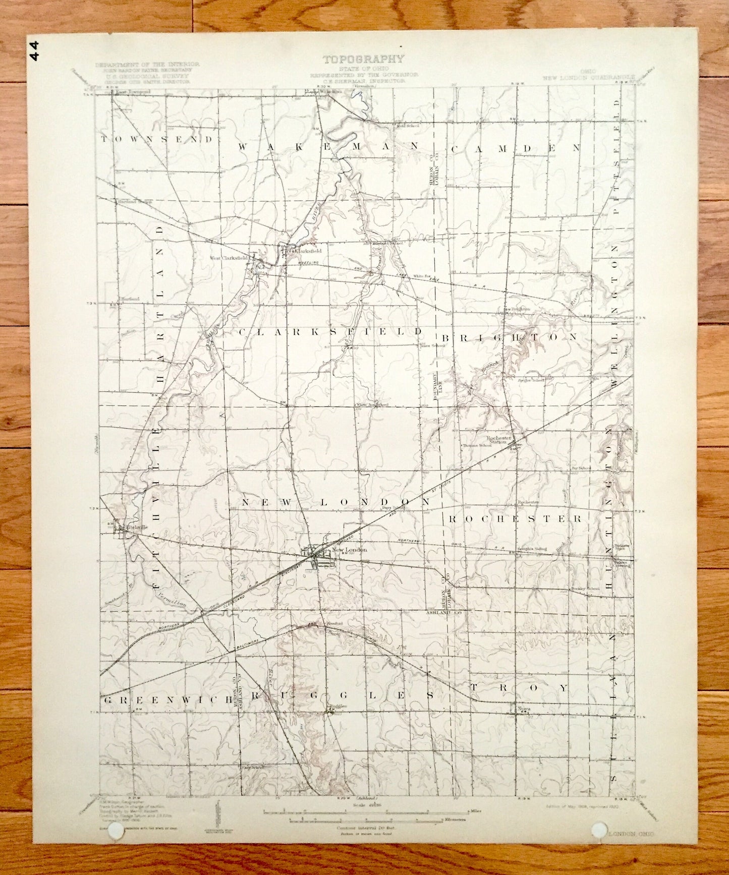
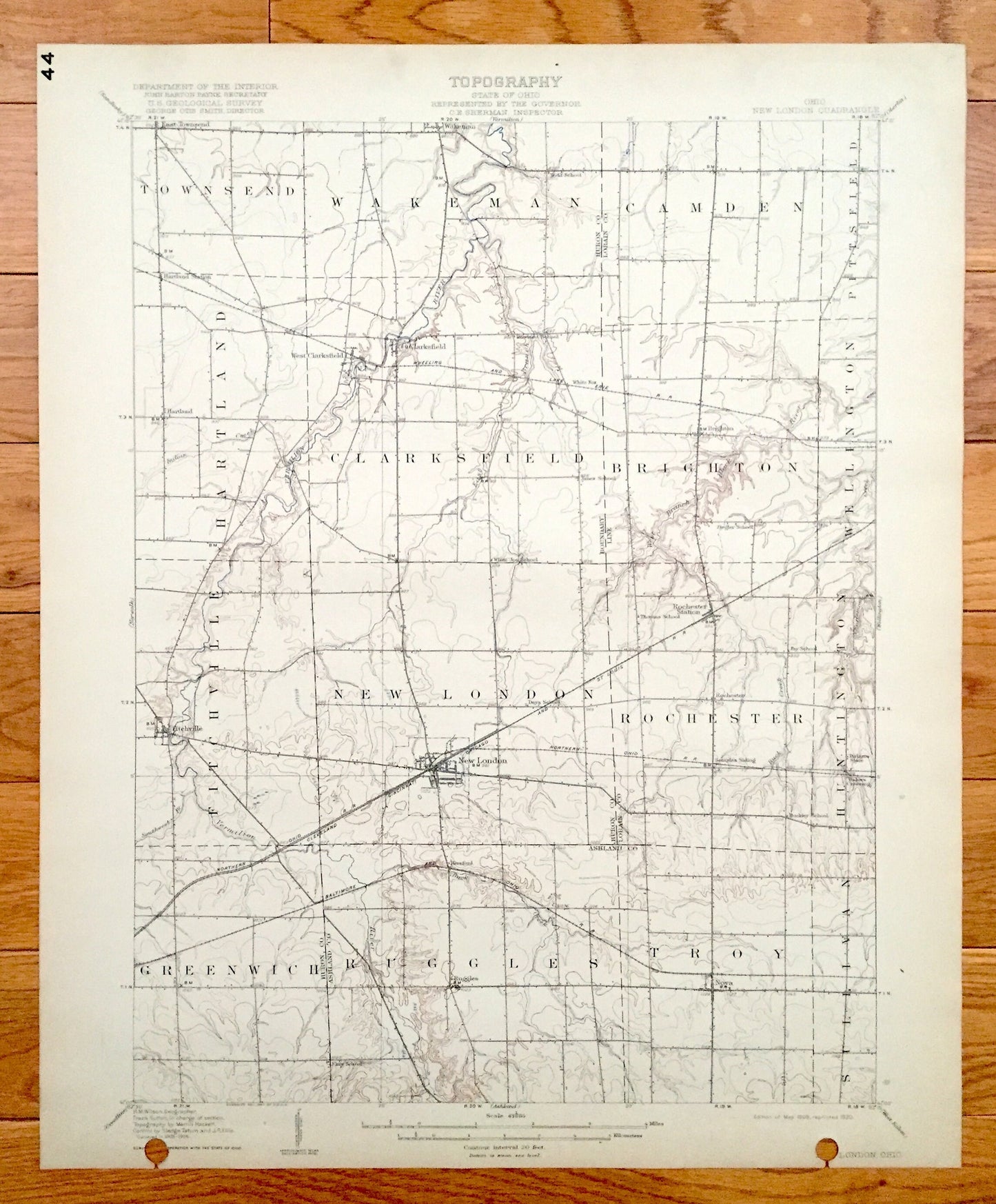
Antique New London, Ohio 1908 US Geological Survey Topographic Map - Greenwich, Ruggles, Troy, Sullivan, Rochester, Fitchville, Clarksfield
Antique New London, Ohio 1908 US Geological Survey Topographic Map - Greenwich, Ruggles, Troy, Sullivan, Rochester, Fitchville, Clarksfield
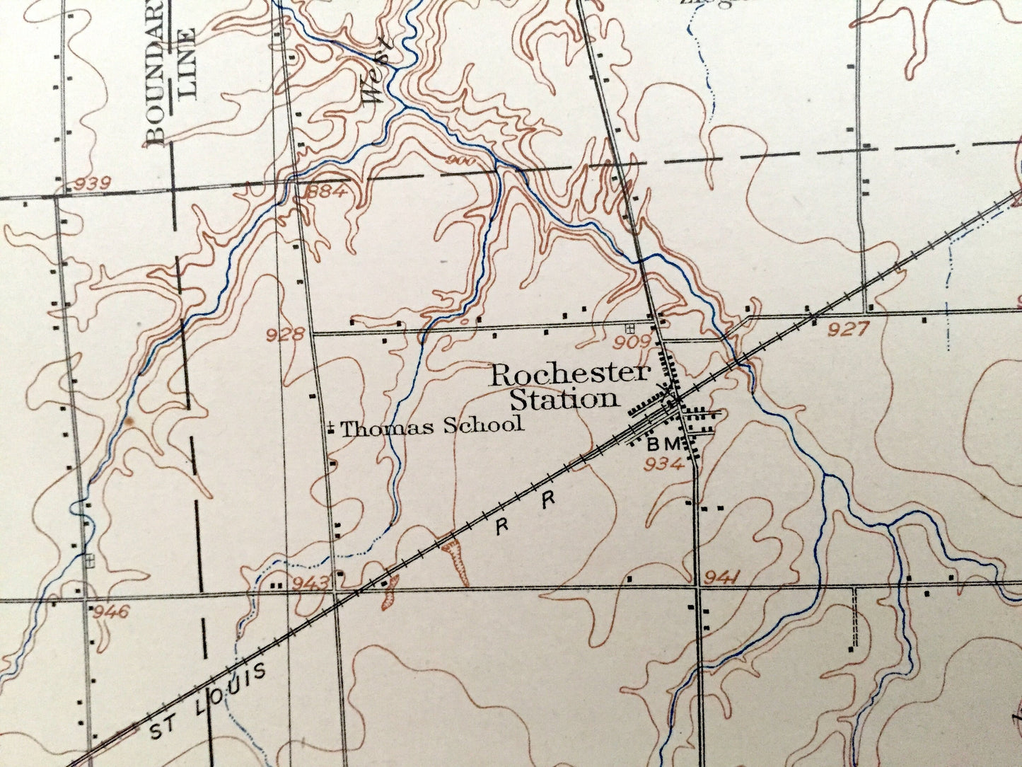
Beautiful, antique map of New London, Ohio and surrounding Huron, Lorain & Ashland County areas. This is an authentic 1908 edition, 1920 print from the U.S. Geological Survey and NOT a computer reproduction.
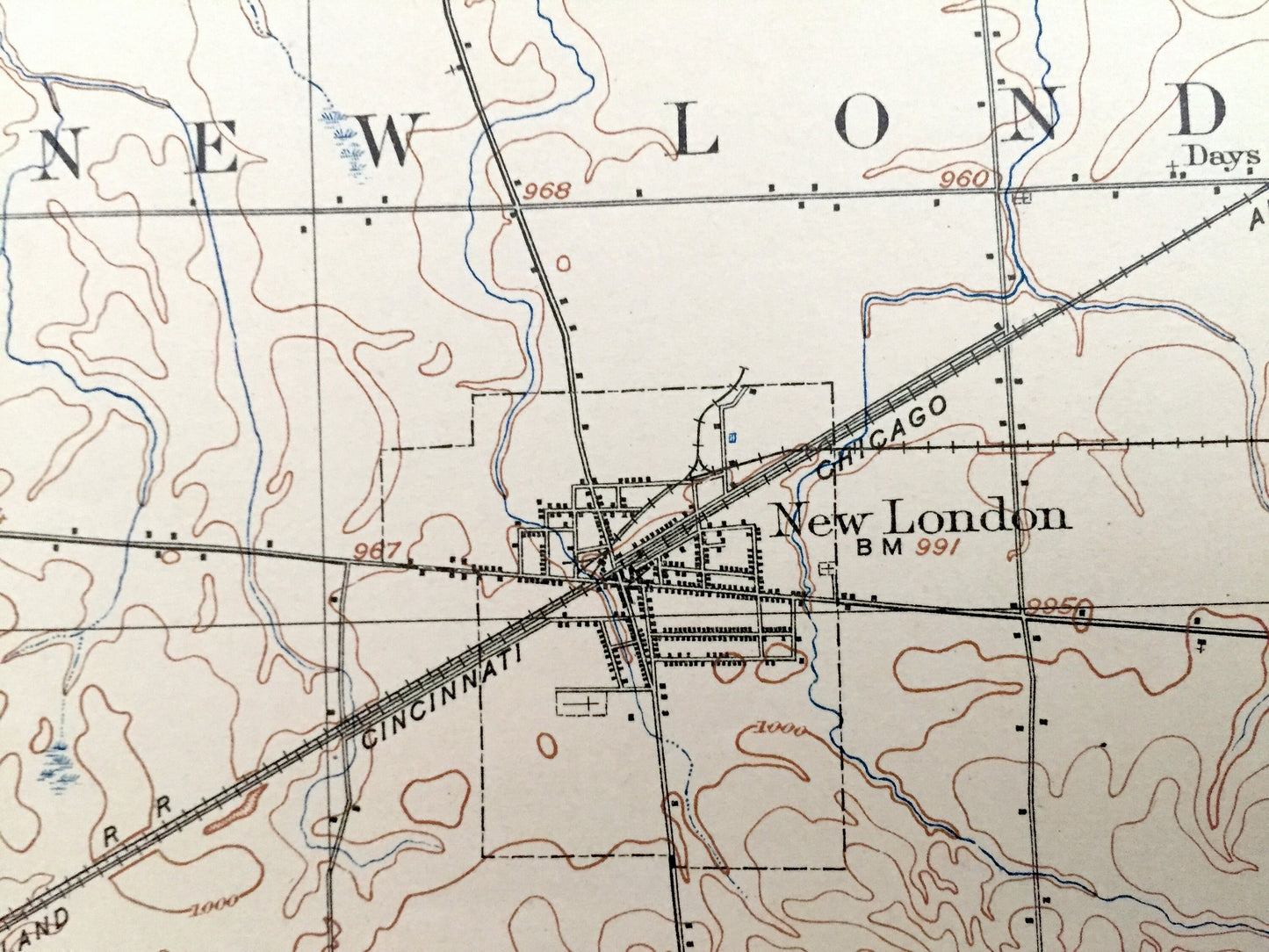
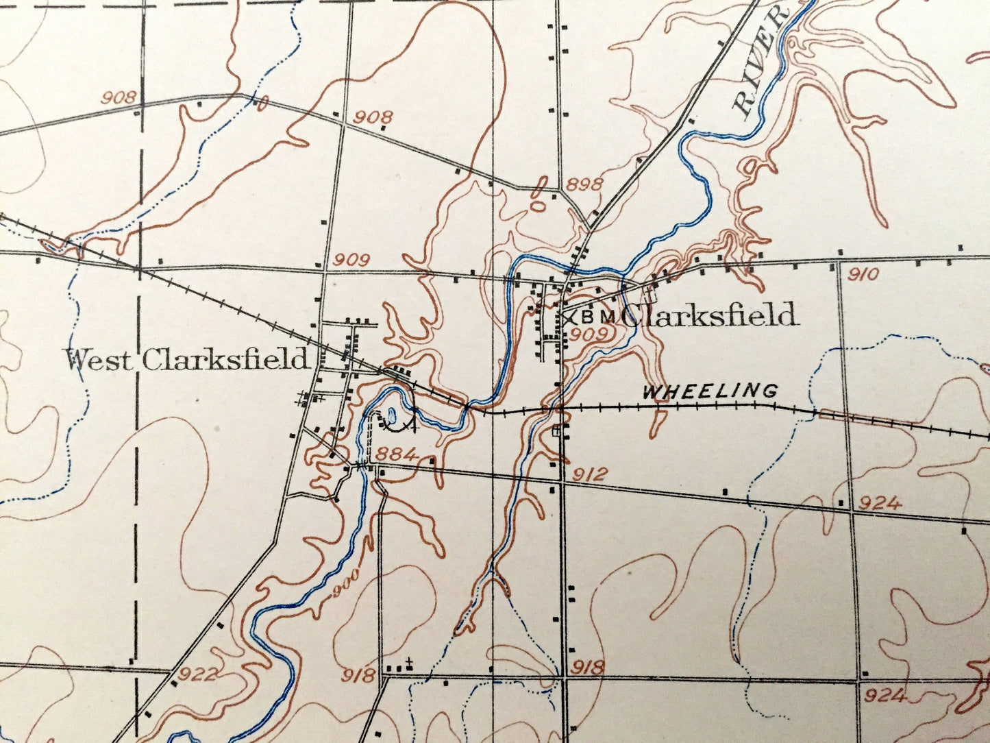
See what Ohio looked like over 110 years ago. Lots of intricate details and geological contours. Map even has little squares for every house that existed at the time. The USGS cartographers were very thorough back then! On the back is a description of topographic symbols and map guide.
Perfect for the historian, map-lover, the curious or just as a conversation starter. Wonderful and rare. Vintage maps such as these make great gifts.
Edition of 1908, printed 1920
Dimensions: 16 1/2" width x 20" height
----
Features
Cities & Towns: New London, Brighton, Hartland, Townsend, Wakeman, Camden, Pittsfield, Wellington, Huntington, Nova, West Clarkfield, East Townsend, Greenwich, Ruggles, Troy, Sullivan, Rochester, Fitchville, Clarksfield.
Points of Interest: Huron County, Lorain County, Ashland County, Vermilion River, Black River and more roads, railroads, houses, ponds, hills, creeks, and lakes.
Condition: Very Good Vintage condition, commensurate with age. This map is in great shape for being over 100 years old. This map has punch holes towards the bottom. This is easily concealed by placing a similar piece of paper behind it as shown in the above photos. Also has light edge-wear and tears, but this will add to vintage character when framed.
----
We will happily adjust shipping price for multiple purchases. Maps are rolled up and shipped in sturdy mailing tubes, never folded.
Couldn't load pickup availability
Share