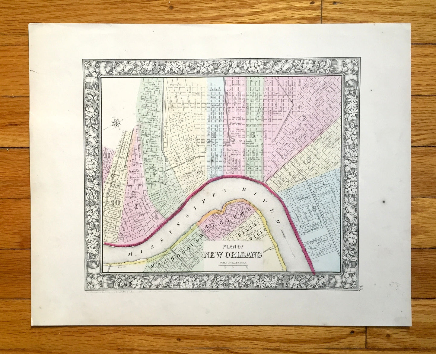
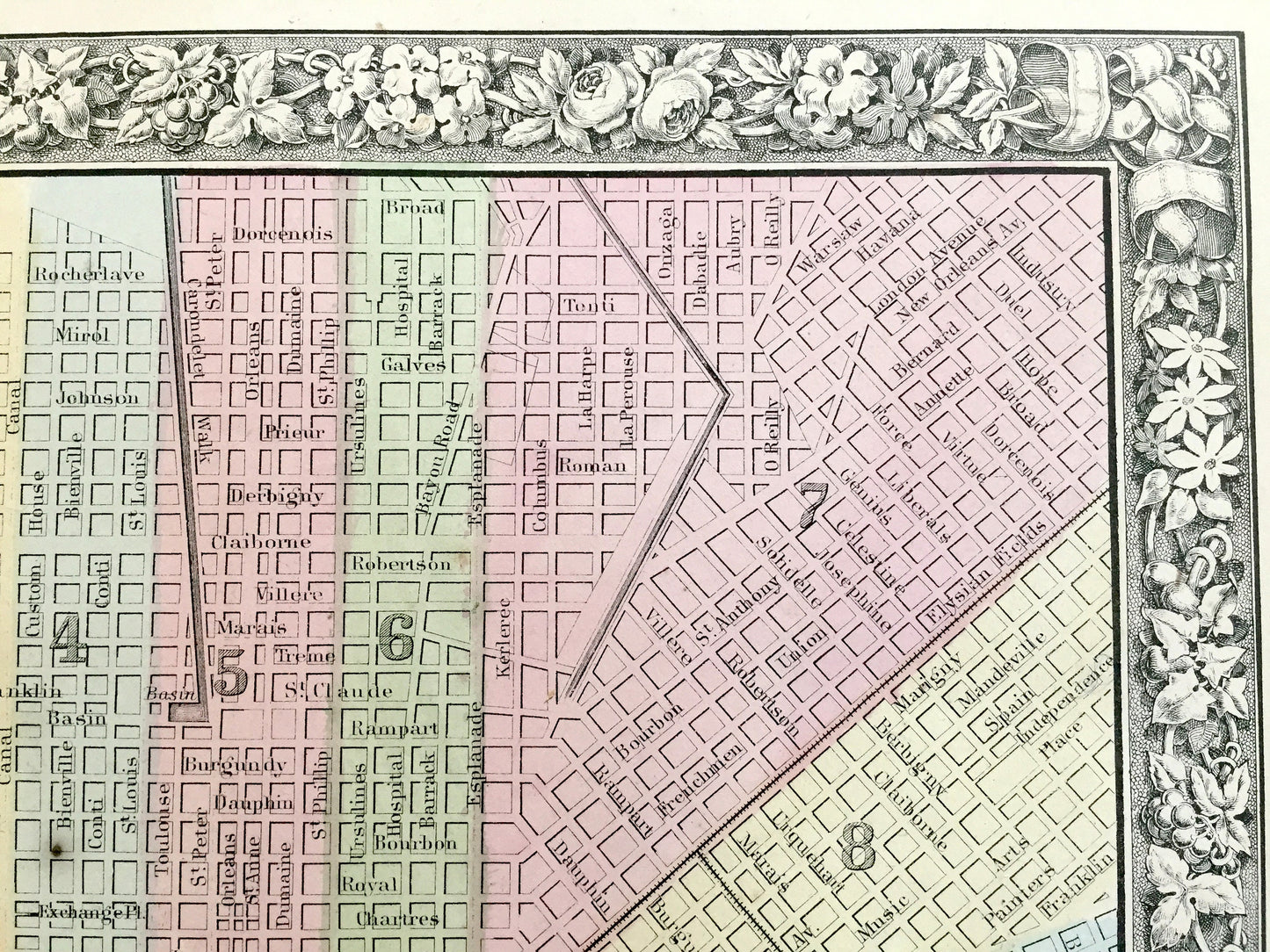
Beautiful, antique map of New Orleans, Louisiana. This is an authentic map from S.A. Mitchell's "New General Atlas," published in 1860 and NOT a computer reproduction.
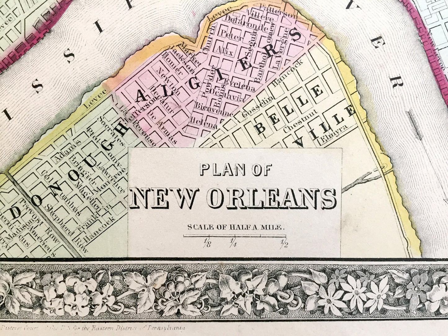
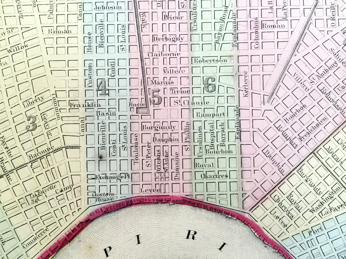
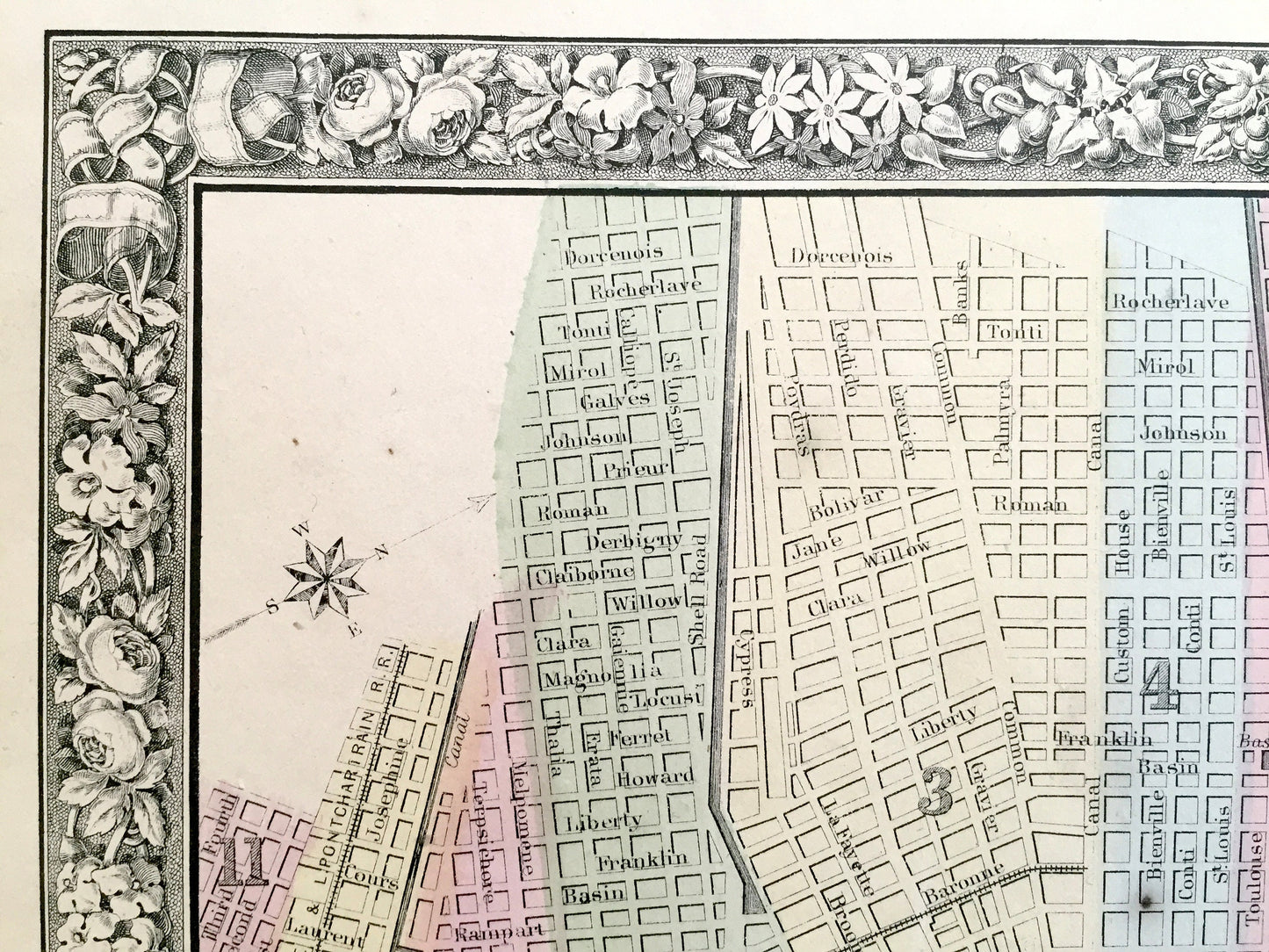
See what New Orleans looked over 160 years ago. Lots of charming, intricate details and contours, including street names, parks, hospitals, cemeteries, colleges, and many other points of interest. Hand colored. Verso is blank.
Perfect for the historian, map-lover, the curious or just as a conversation starter. Wonderful and rare. Vintage maps such as these make great gifts.
Edition of 1860, printed 1860
Dimensions: 15" width x 12" height
----
Condition: Good Vintage condition, commensurate with age. This map is in great shape for being over 160 years old. Light toning, foxing, small spots in margin, and edge-wear, which will read as vintage character when framed.
----
We will happily adjust shipping price for multiple purchases. Maps are rolled up and shipped in sturdy mailing tubes, never folded.