My Store
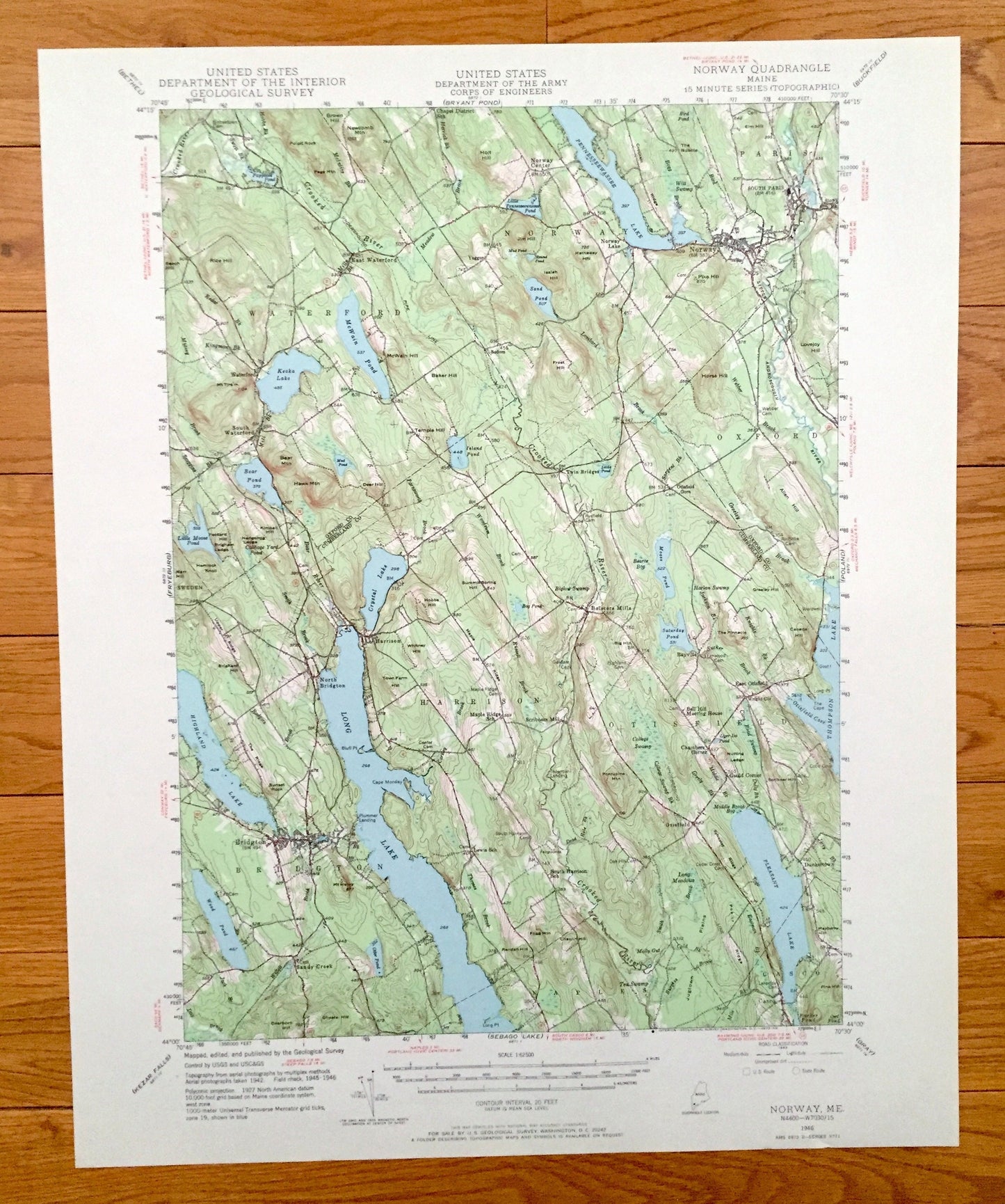
Antique Norway, Maine 1946 US Geological Survey Topographic Map – Long Lake, Waterford, Harrison, Paris, Bridgton, Otisfield, Oxford, ME
Antique Norway, Maine 1946 US Geological Survey Topographic Map – Long Lake, Waterford, Harrison, Paris, Bridgton, Otisfield, Oxford, ME
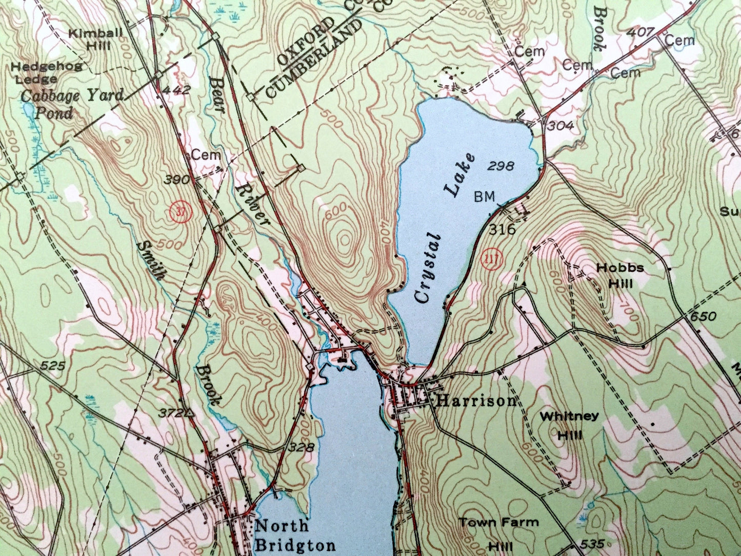
Beautiful, antique map of Long Lake, Maine and surrounding area of Oxford and Cumberland Counties. This is an authentic 1946 edition, 1970 print from the U.S. Geological Survey and NOT a computer reproduction.
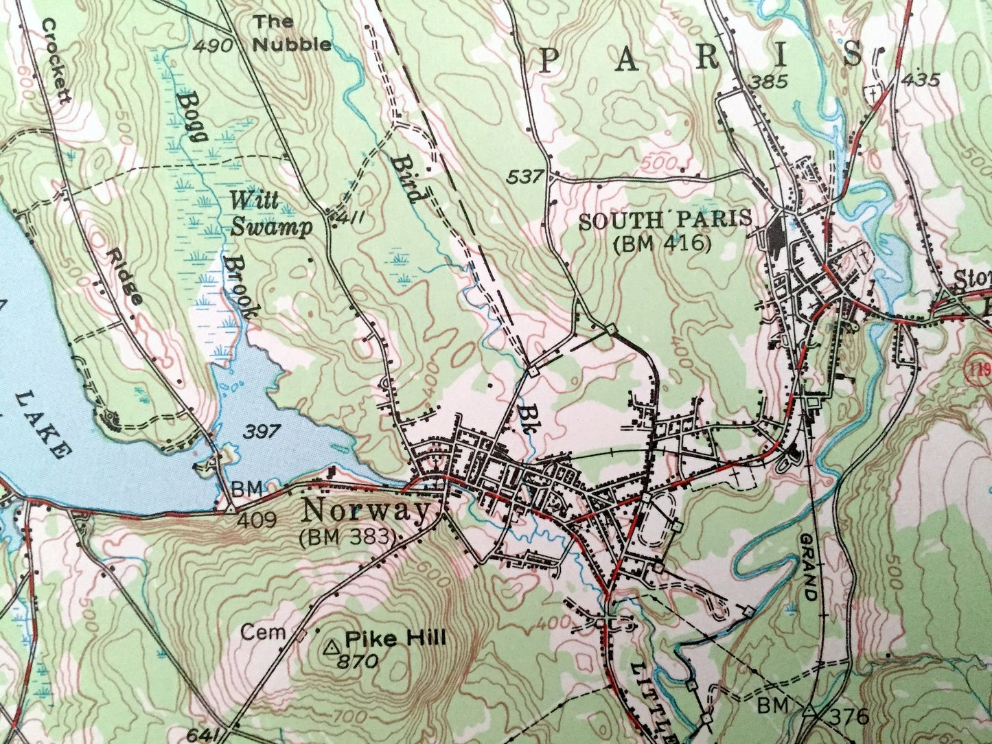
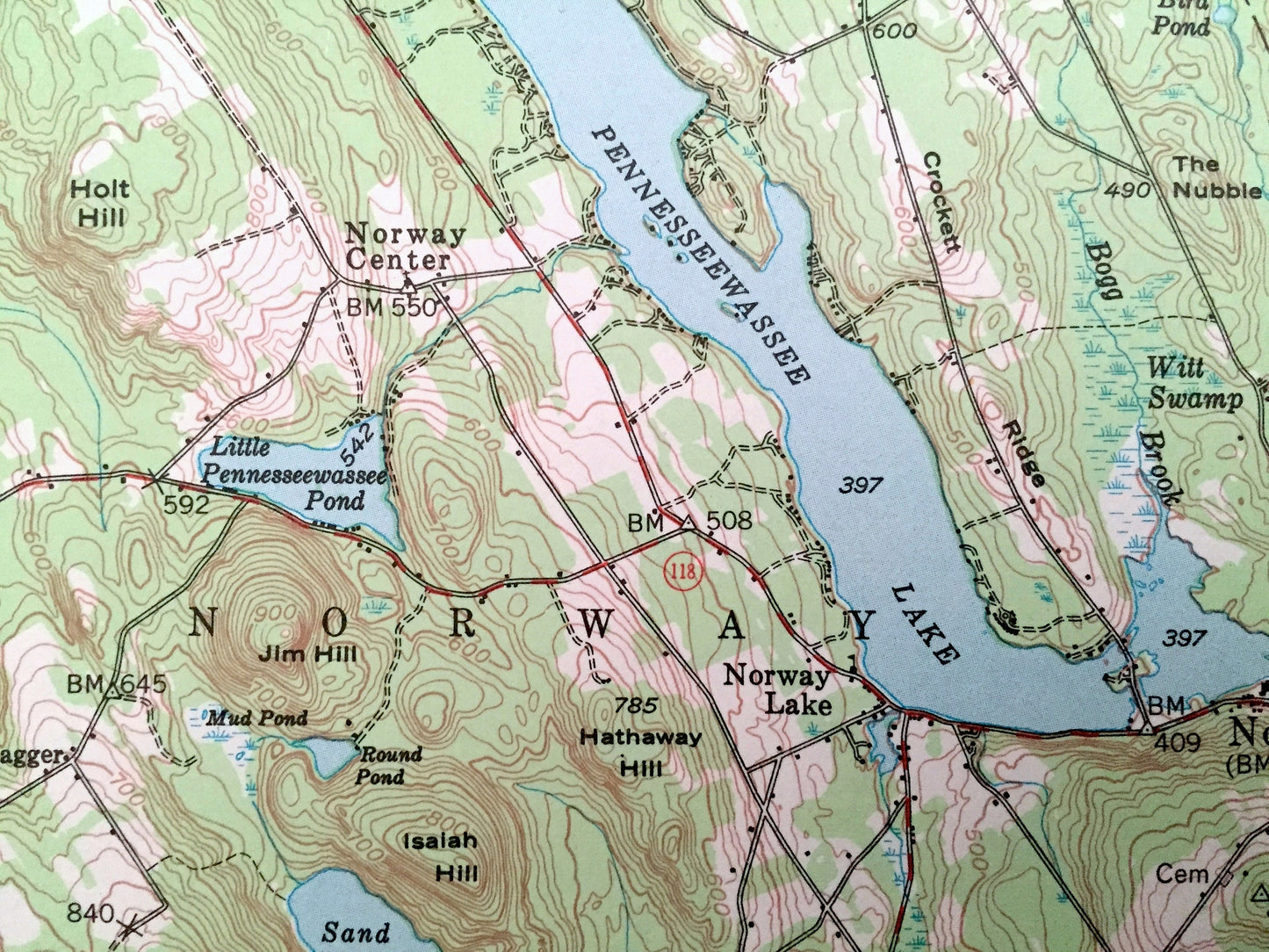
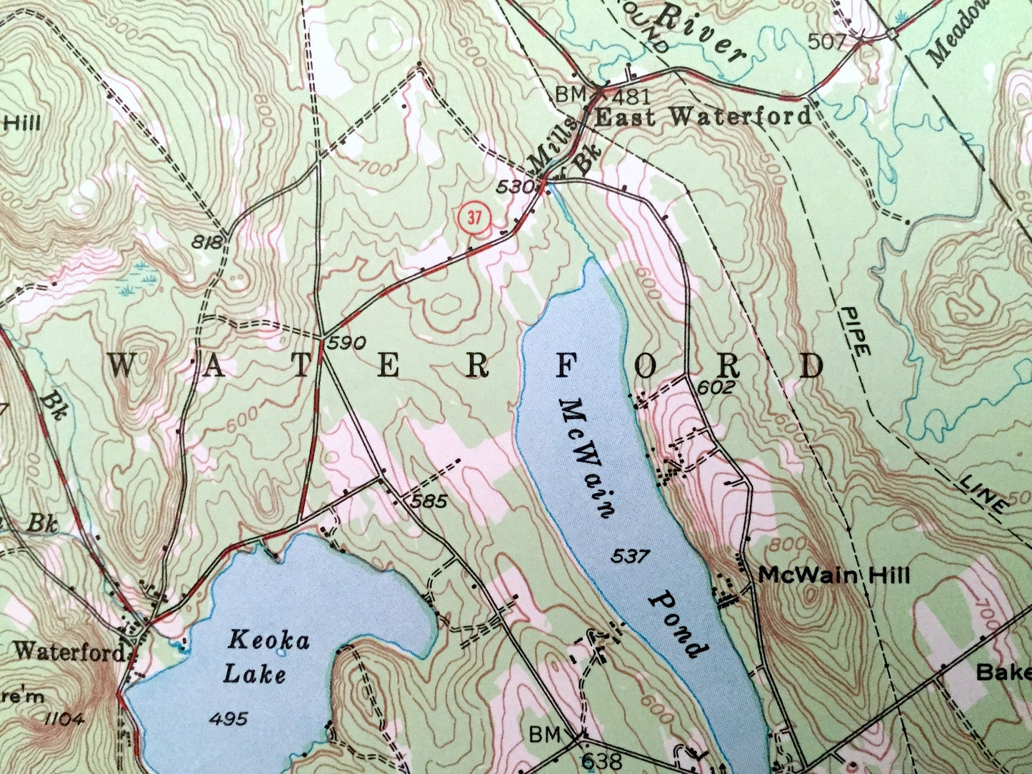
See what Norway, Bridgton and Long Lake looked like over 70 years ago. Lots of intricate details and geological contours. Map even has little squares for every house that existed at the time. The USGS cartographers were very thorough back then!
Perfect for the historian, map-lover, the curious or just as a conversation starter. Wonderful and rare. Vintage maps such as these make great gifts.
Edition of 1946, printed 1970
Dimensions: 17" width x 21" height
----
Features
Cities & Towns: Waterford, Norway, Paris, Oxford, Harrison, Otisfield, Bridgton, Sandy Creek, East Waterford, Norway Lake, South Paris, South Waterford, North Bridgton, Bolsiers Mills, East Otisfield, Casco.
Points of Interest: Long Lake, Highland Lake, Thomson Lake, Pennessewassee Lake, McWain Pond, Pleasant Lake, Crooked River, Moose Pond, Holt Hill, Frost Hill, Horse Hill, Pike Hill, Rices Hill, Bear Mountain, Hawk Mountain, The Ridge, Sunset Rock, Mt. Henry, Otter Pond, Monday Cape, Choate Ridge, Dearborn Hill, and many more streams, ponds, houses, churches, hills, islands and mountains.
Condition: Very Good condition, commensurate with age. This map is in incredible shape for being 50 years old.
----
We will happily adjust shipping price for multiple purchases. Maps are rolled up and shipped in sturdy mailing tubes, never folded.
Couldn't load pickup availability
Share