My Store
Antique O'Neill, Nebraska 1959 US Geological Survey Topographic Map – Atkinson, Bassett, Ainsworth, Stuart, Neligh Orchard Missouri River NE
Antique O'Neill, Nebraska 1959 US Geological Survey Topographic Map – Atkinson, Bassett, Ainsworth, Stuart, Neligh Orchard Missouri River NE
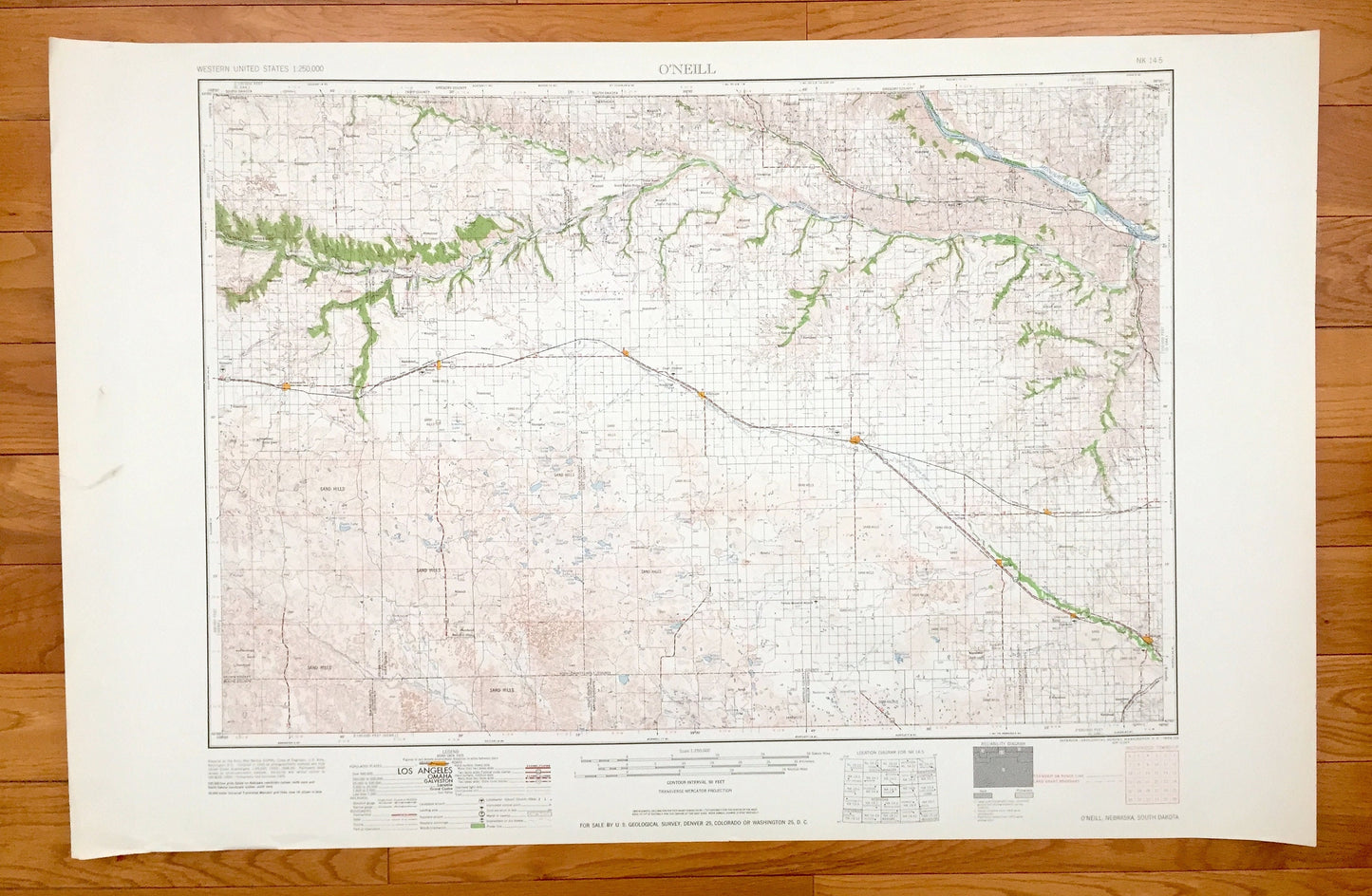
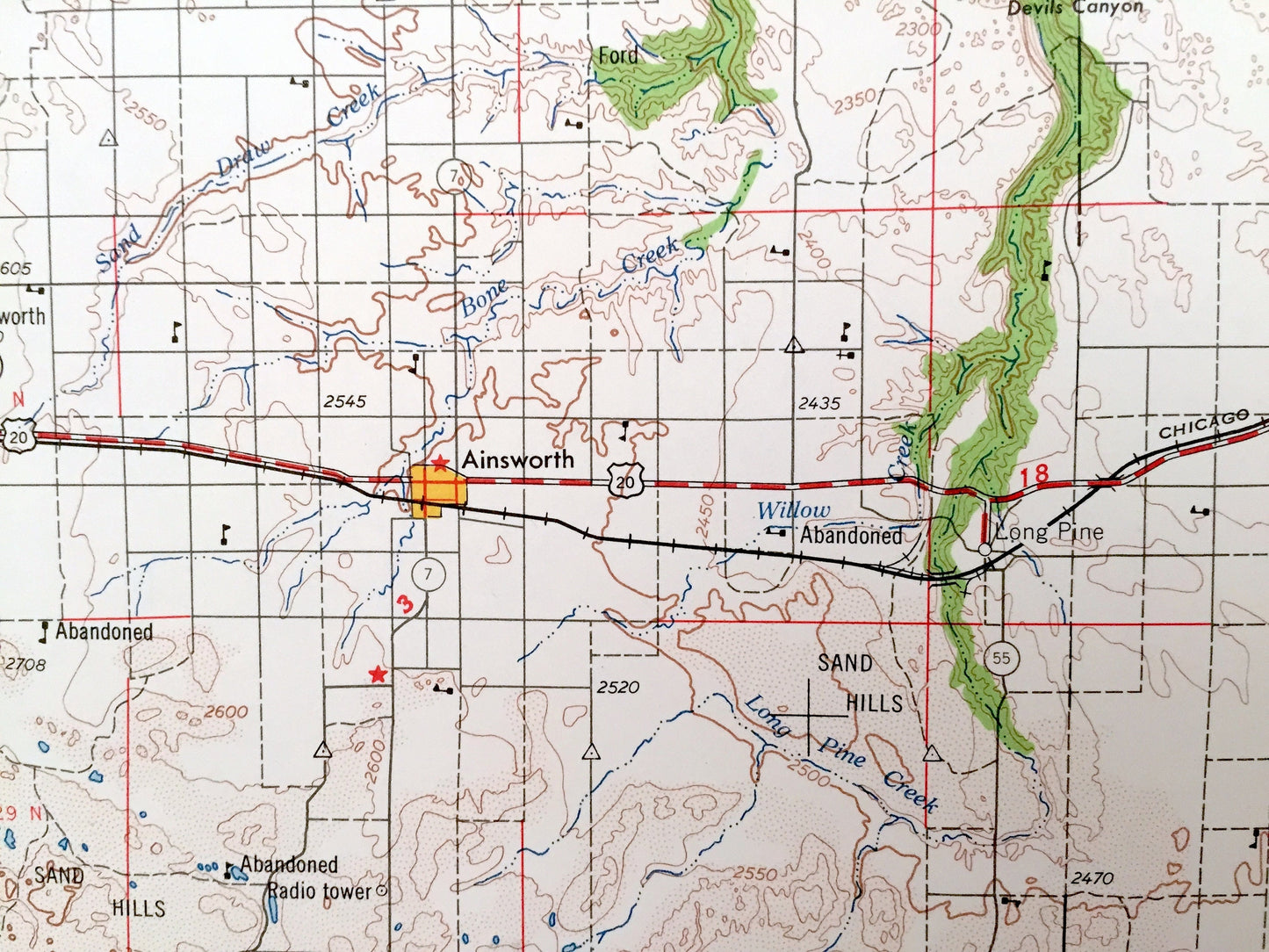
Beautiful, antique map of O'Neill, Nebraska and surrounding South Dakota areas. This is an authentic 1959 edition, 1959 print from the U.S. Geological Survey and NOT a computer reproduction.
See what Nebraska and South Dakota looked like over 60 years ago. Lots of intricate details and geological contours. Map is incredibly large and in the grand 1:250,000 scale. The USGS cartographers were very thorough back then!
Perfect for the historian, map-lover, the curious or just as a conversation starter. Wonderful and rare. Vintage maps such as these make great gifts.
Edition of 1959, printed 1959
Dimensions: 32" width x 22 1/2" height
----
Features
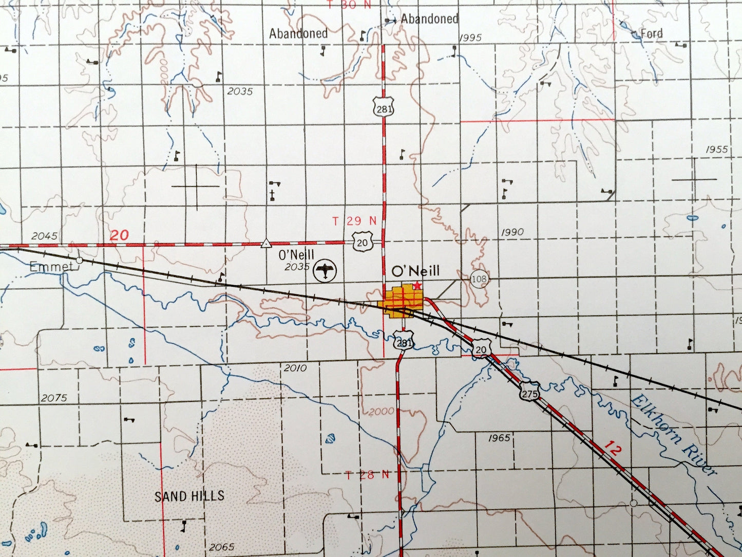
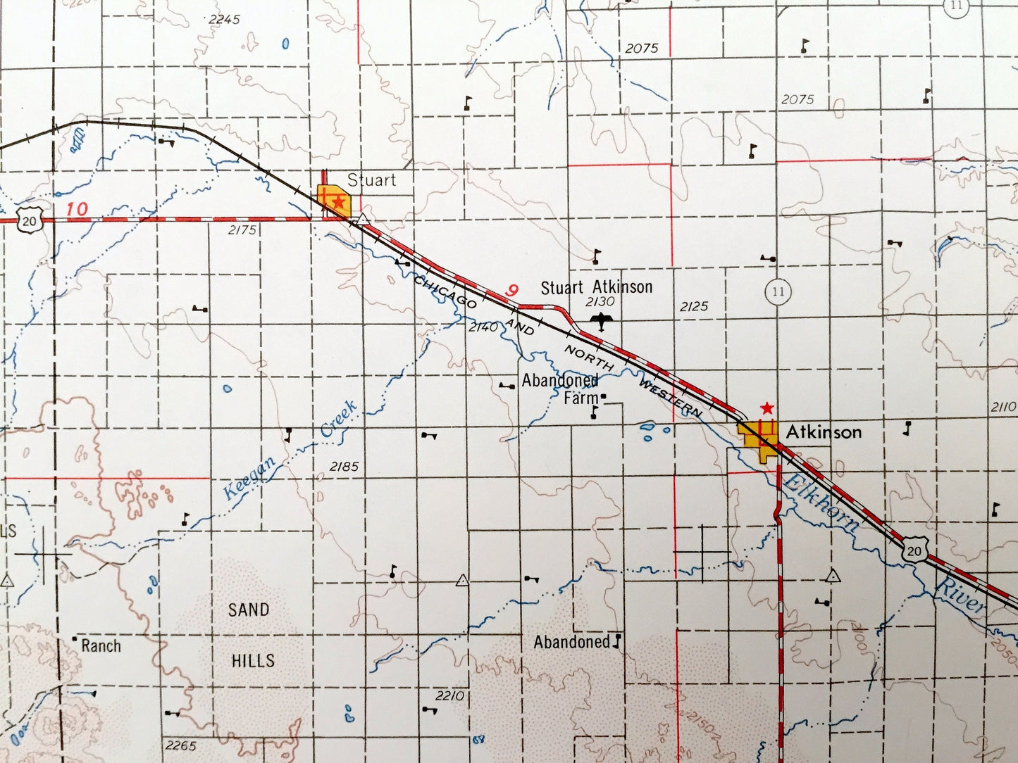
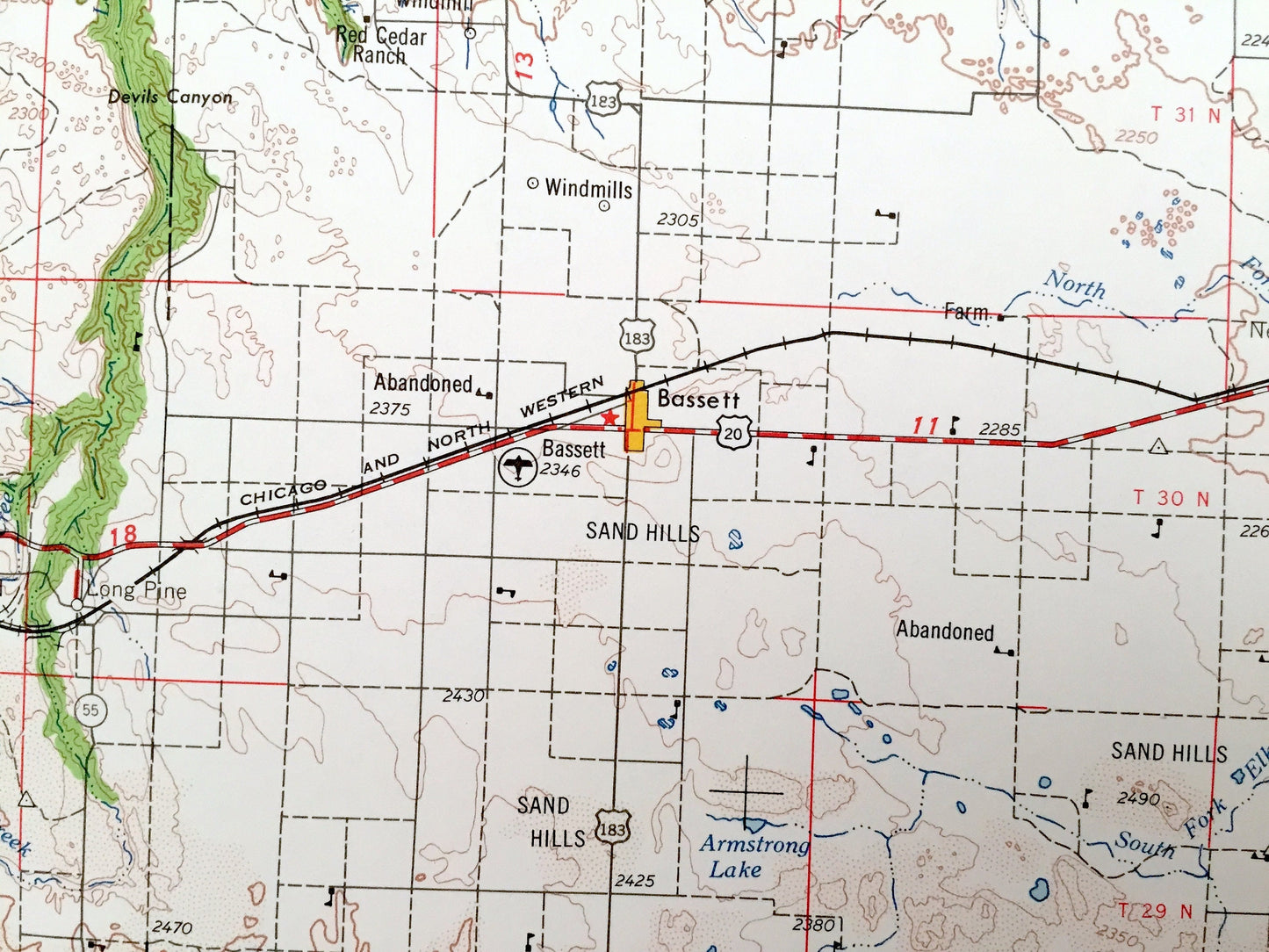
Cities & Towns: NEBRASKA - O'Neill, Emmet, Newport, Long Pine, Riverview, Jamison, Mariaville, Niobrara, Ewing, Clearwater, Stafford, Anoka, Atkinson, Bassett, Ainsworth, Stuart, Neligh, Orchard.
SOUTH DAKOTA - Marty, Perkins, Greenwood.
Points of Interest: NEBRASKA - Missouri River, Niobrara River, Elkhorn River, Keya Paha River, Stony Butte, Ponca Creek, Verdigre Creek, Blackbird Creek and lots more hills, mountains, lakes, creeks, roads highways and railroads.
SOUTH DAKOTA - Missouri River, Charles Mix County, Bon Homme County and lots more hills, mountains, lakes, creeks, roads, highways and railroads.
Condition: Very Good condition, commensurate with age. This map is in incredible shape for being over 60 years old. Has light edge-wear and tears, all of which will read as vintage character when framed.
----
We will happily adjust shipping price for multiple purchases. Maps are rolled up and shipped in sturdy mailing tubes, never folded.
Couldn't load pickup availability
Share