My Store
Antique Ontario, New York 1952 US Geological Survey Topographic Map – Monroe, Wayne County, Walworth, Marion, Williamson, NY
Antique Ontario, New York 1952 US Geological Survey Topographic Map – Monroe, Wayne County, Walworth, Marion, Williamson, NY
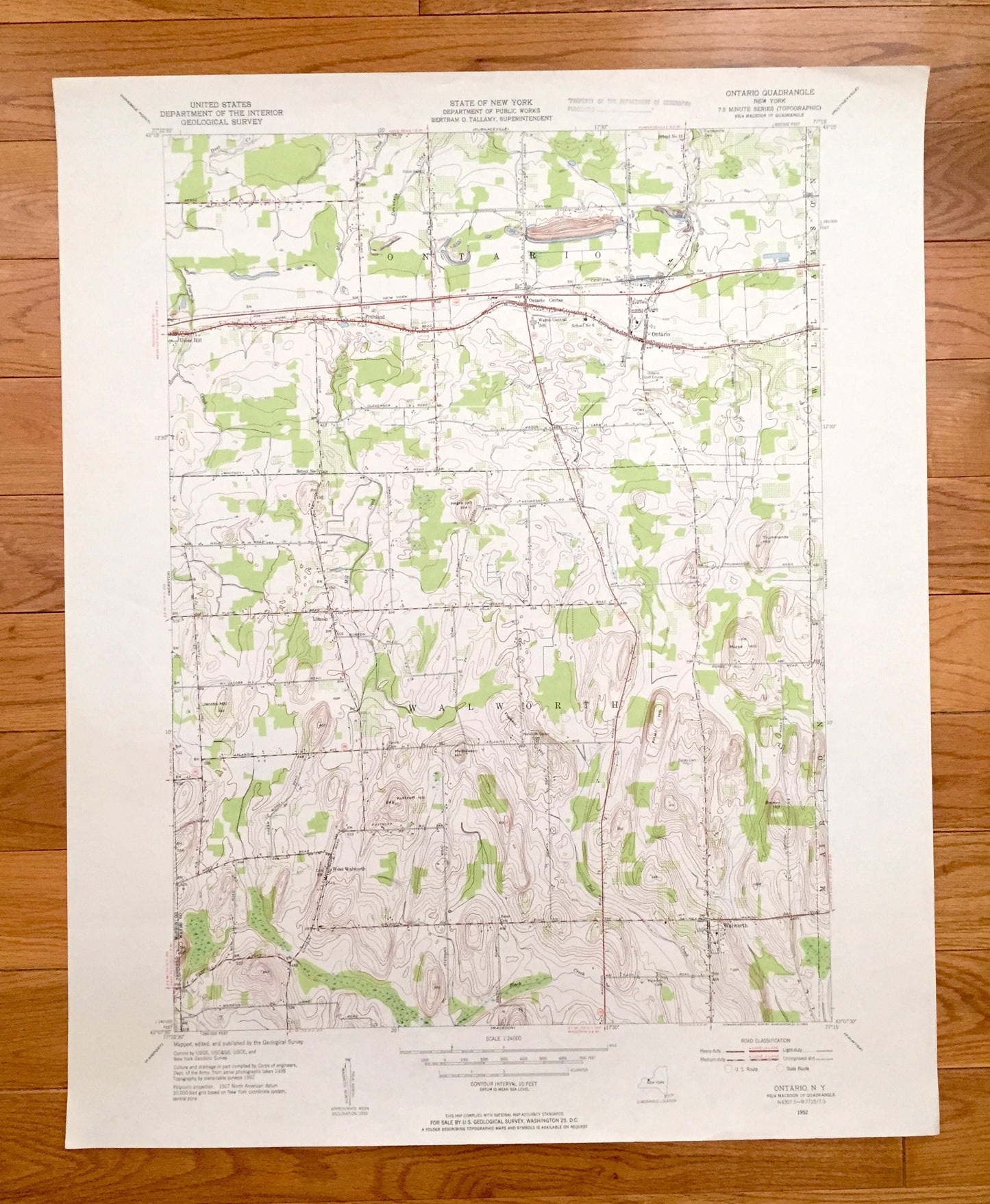
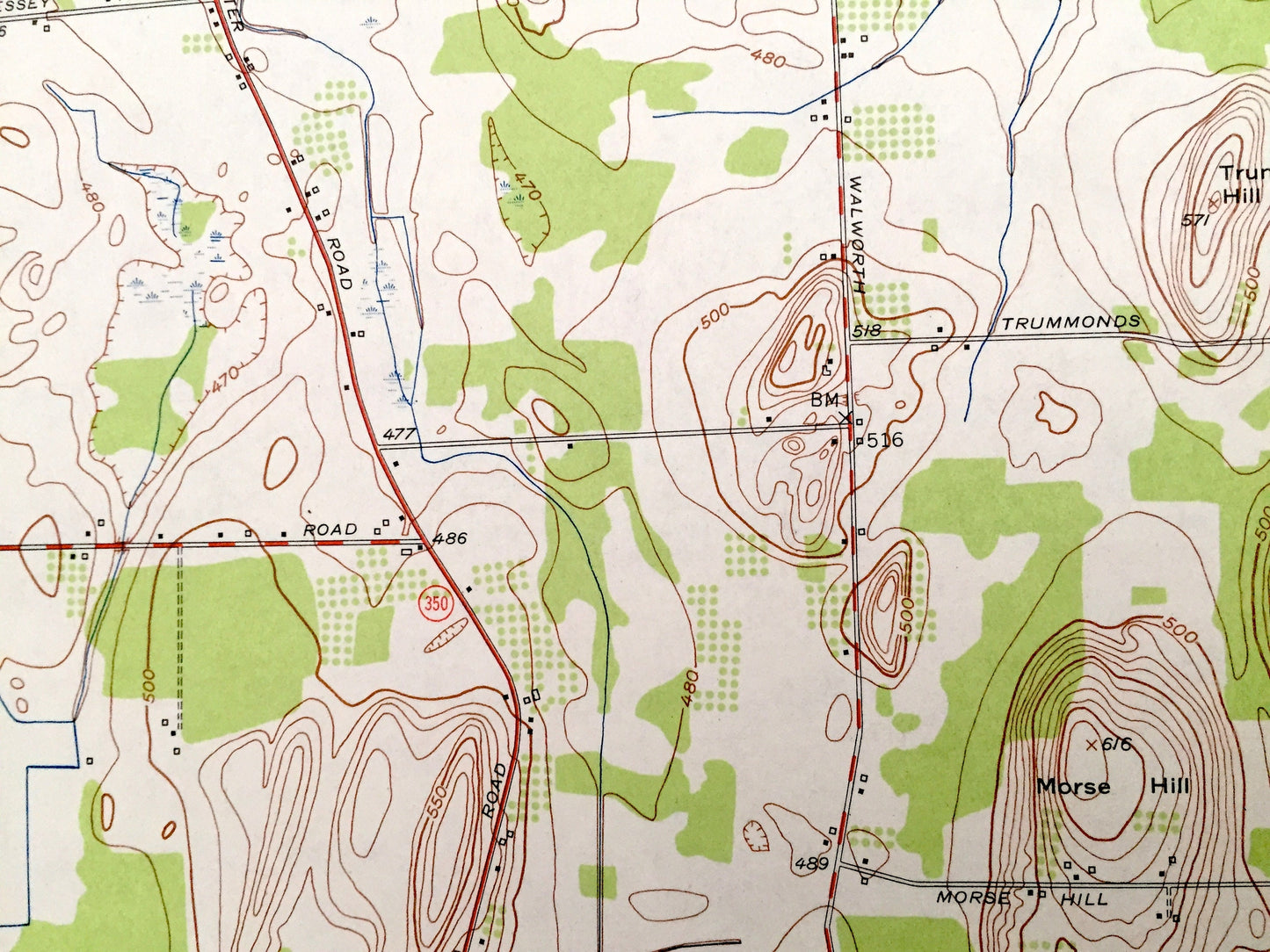
Beautiful, antique map of Ontario, New York and surrounding Monroe County and Wayne County areas. This is an authentic 1952 edition, 1953 print from the U.S. Geological Survey and NOT a computer reproduction.
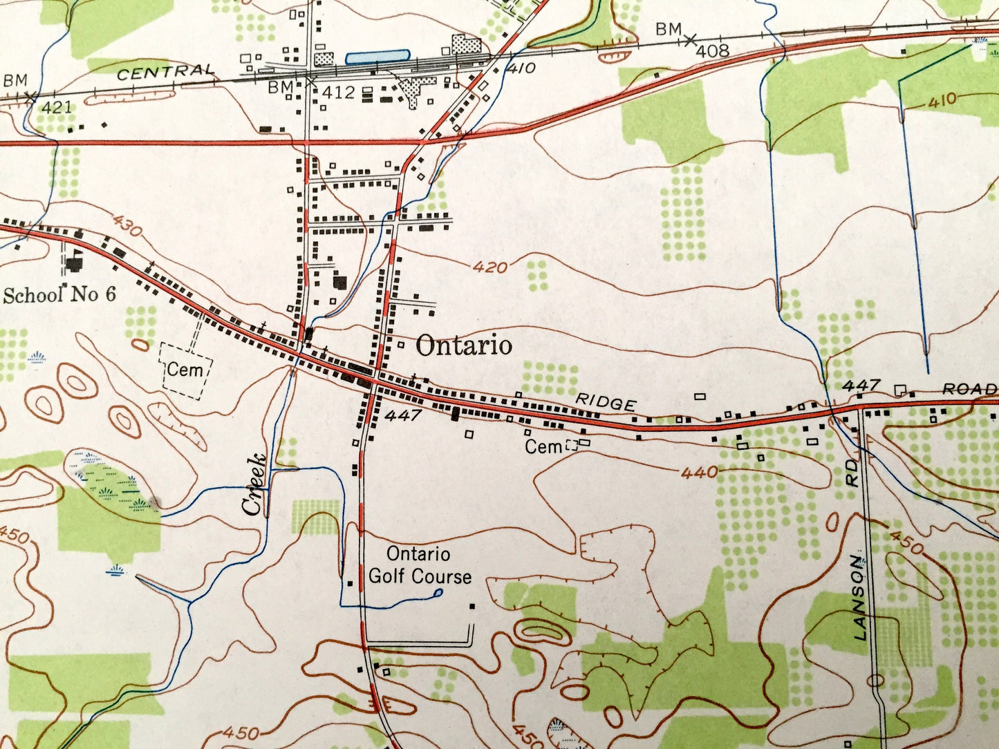
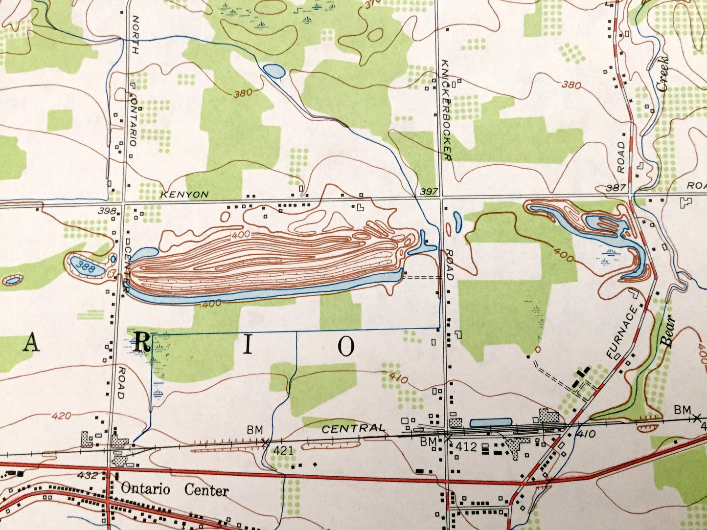
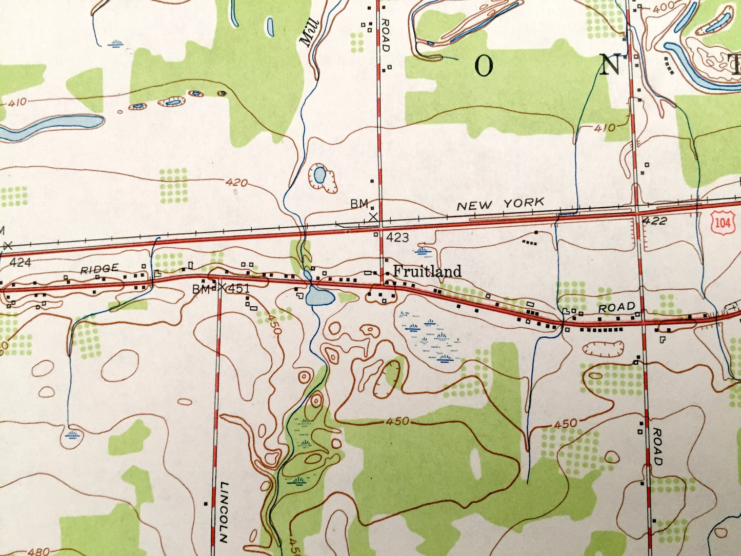
See what New York looked like over over 65 years ago. Lots of intricate details and geological contours. Map even has little squares for every house that existed at the time. The USGS cartographers were very thorough back then!
Perfect for the historian, map-lover, the curious or just as a conversation starter. Wonderful and rare. Vintage maps such as these make great gifts.
Edition of 1952, printed 1953
Dimensions: 22" width x 27" height
----
Features
Cities & Towns: Union Hill, Fruitland, Lincoln, West Walworth, Ontario Center.
Points of Interest: Ontario Golf Course, Wayne Central School, Negro Hill, Trummonds Hill, Jacobs Hill, Mathewson Hill, Finley Hill, Morse Hill, Kuttruff Hill, Boyton Hill, Dennison Creek, Mill Creek, Bear Creek, Fourmile Creek, Black Creek, Red Creek, and many more hills, streams, ponds, houses, schools, railroads, churches and roads.
Condition: Very Good Vintage condition, commensurate with age. This map is in great shape for being over 65 years old.
----
We will happily adjust shipping price for multiple purchases. Maps are rolled up and shipped in sturdy mailing tubes, never folded.
Couldn't load pickup availability
Share