My Store
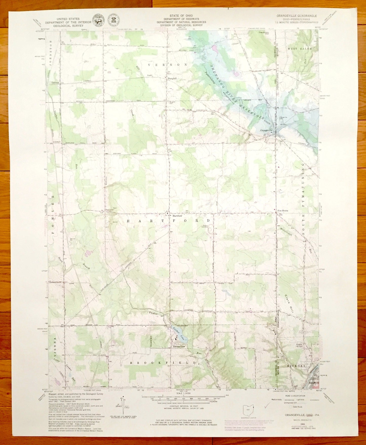
Antique Orangeville, Ohio & South Pymatuning, Pennsylvania 1961 US Geological Survey Topographic Map – Brookfield, Hartford, Vernon, Hickory
Antique Orangeville, Ohio & South Pymatuning, Pennsylvania 1961 US Geological Survey Topographic Map – Brookfield, Hartford, Vernon, Hickory
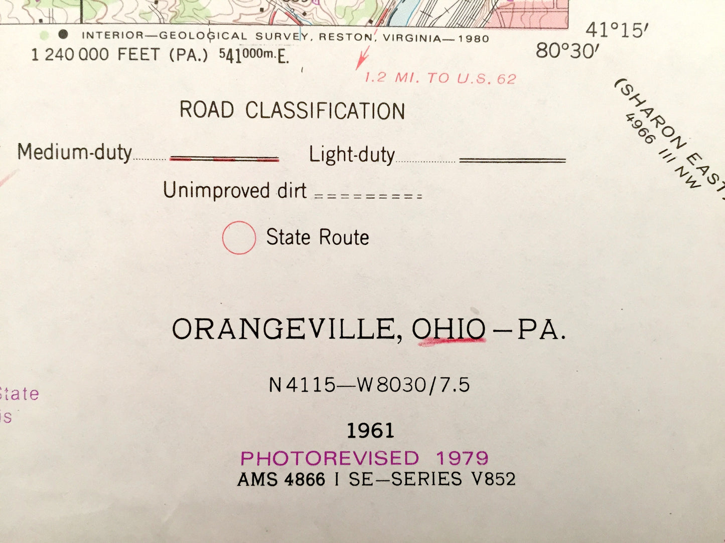
Beautiful, antique map of Orangeville, Brookfield, Hartford, Vernon, Ohio as well as nearby South Pymatuning and Hickory, Pennsylvania. This is an authentic 1979 print of 1961 survey data from the U.S. Geological Survey and NOT a computer reproduction.
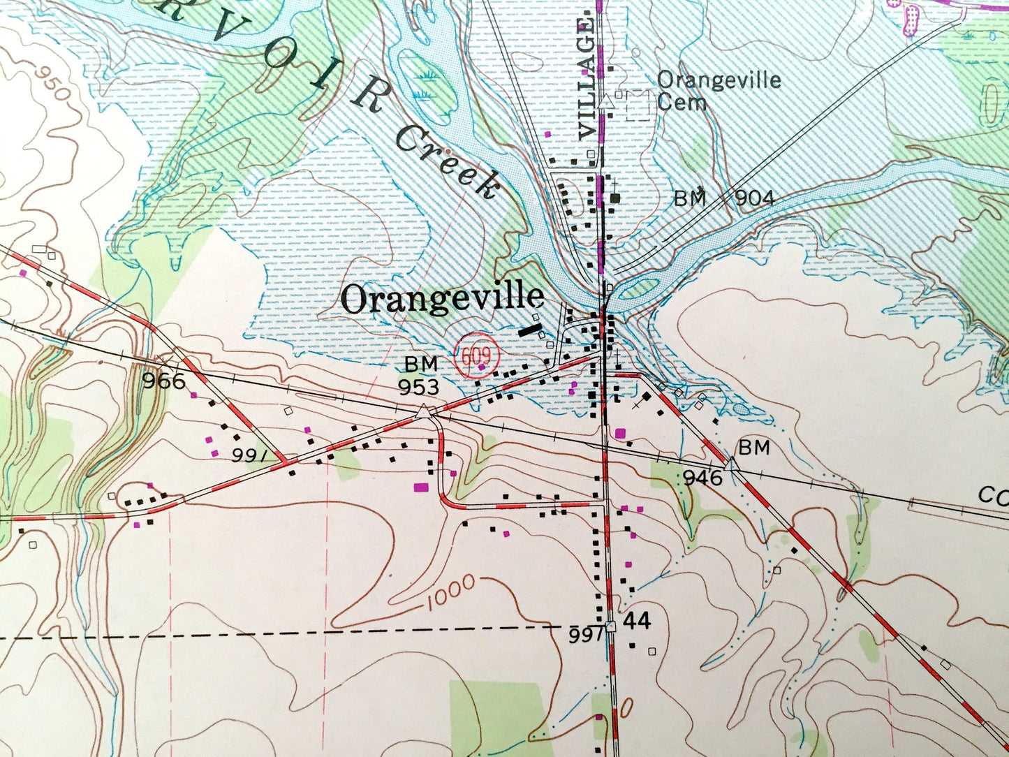
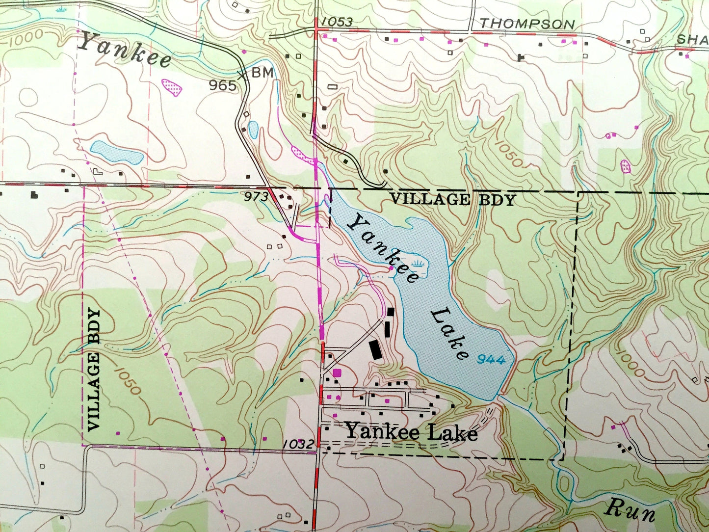
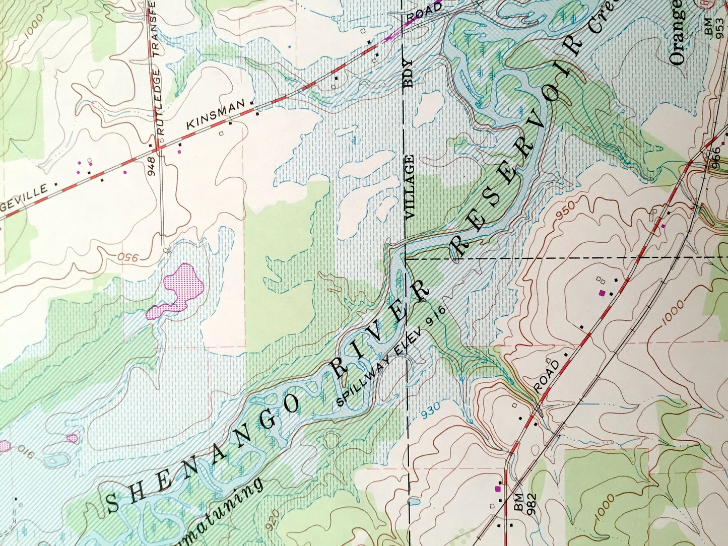
See what Trumbull County of Ohio & Mercer County of Pennsylvania, looked like over 55 years ago. Lots of intricate details and geological contours. Map even has little squares for every house that existed at the time. The USGS cartographers were very thorough back then!
Perfect for the historian, map-lover, the curious or just as a conversation starter. Wonderful and rare. Vintage maps such as this make great gifts.
Edition of 1961, printed 1979
Dimensions: 22" width x 27" height
----
Features
Cities & Towns: OHIO: Orangeville, Brookfield, Hartford, Vernon, Yankee Lake, Vienna, Burghill, Latimer, Fowler. PENNSYLVANIA: South Pymatuning, Hickory, West Salem, Five Points.
Points of Interest: Yankee Lake, Conrail, Sharon Speedway, Shenango River Reservoir, and many more roads, streams, houses, and rivers.
Condition: Very Good condition, commensurate with age. This map is in incredible shape for being almost 40 years old.
----
We will happily adjust shipping price for multiple purchases. Maps are rolled up and shipped in sturdy mailing tubes, never folded.
Couldn't load pickup availability
Share