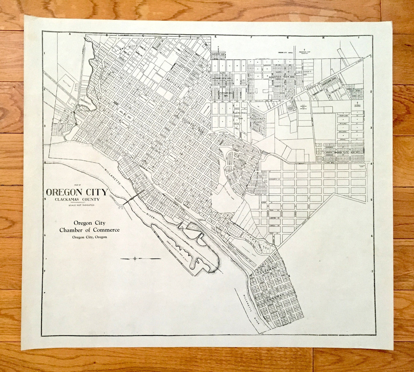
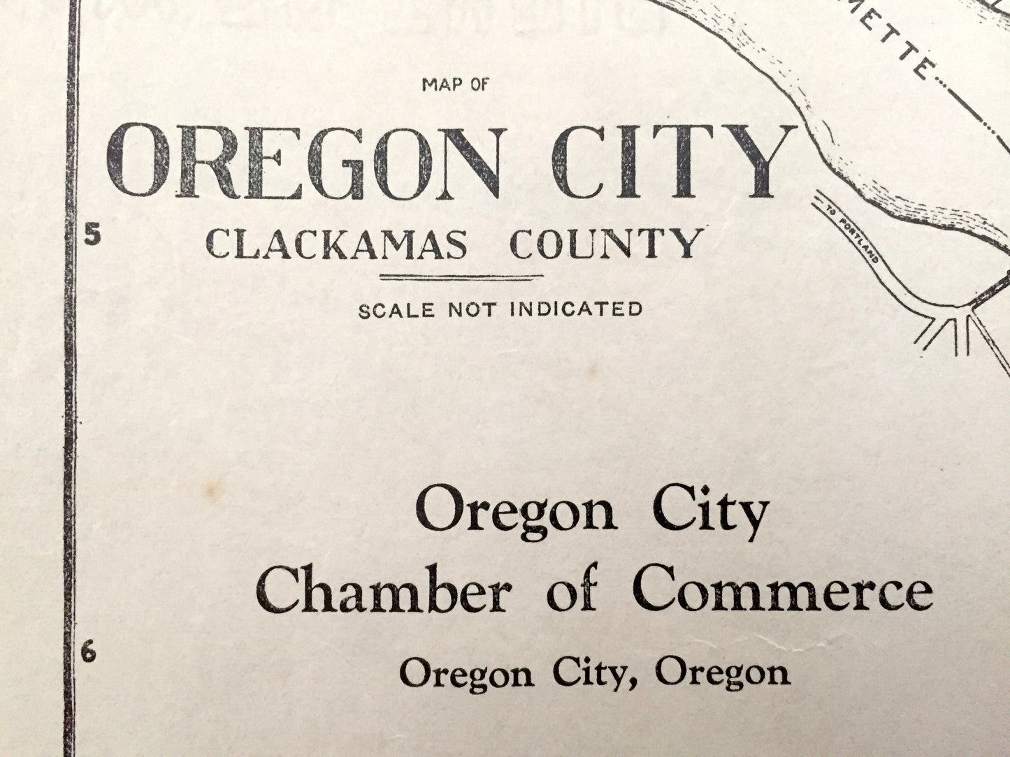
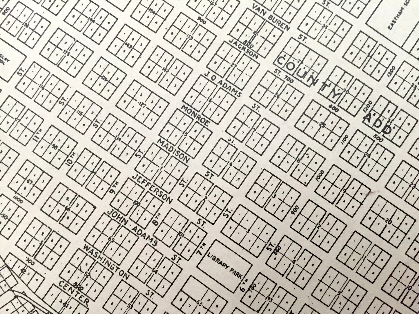
Beautiful, antique map of Oregon City, Oregon. This is an authentic 1940 print from the Clackamas County Surveyor's Office and is NOT a computer reproduction.
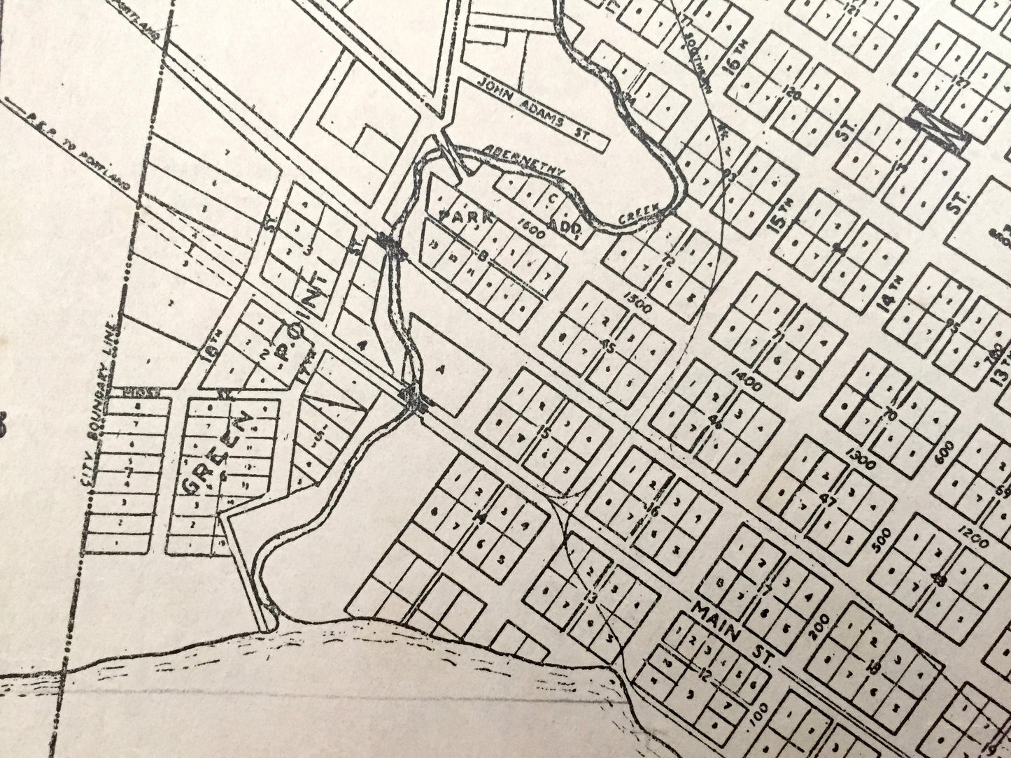
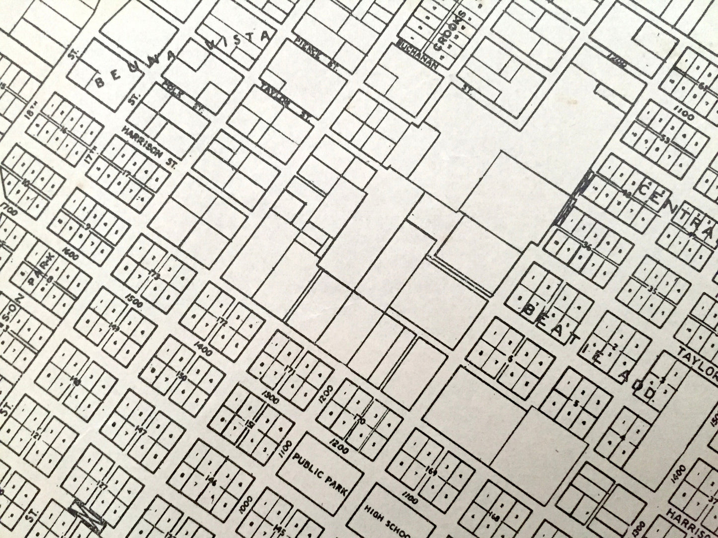
See what Oregon City looked like more than 80 years ago. Lots of intricate details, roads, rivers and geological contours. The USGS cartographers were very thorough back then!
Perfect for the historian, map-lover, the curious or just as a conversation starter. Wonderful and rare. Vintage maps such as this make great gifts.
Edition of 1940, printed 1940
Dimensions: 21 1/4" width x 19" height
----
Condition: Good Vintage condition, commensurate with age. This map is in great shape for being 80 years old. Has edge-wear, tape repair and toning but this will all add to vintage character when framed.
----
We will happily adjust shipping price for multiple purchases. Maps are rolled up and shipped in sturdy mailing tubes, never folded.