My Store
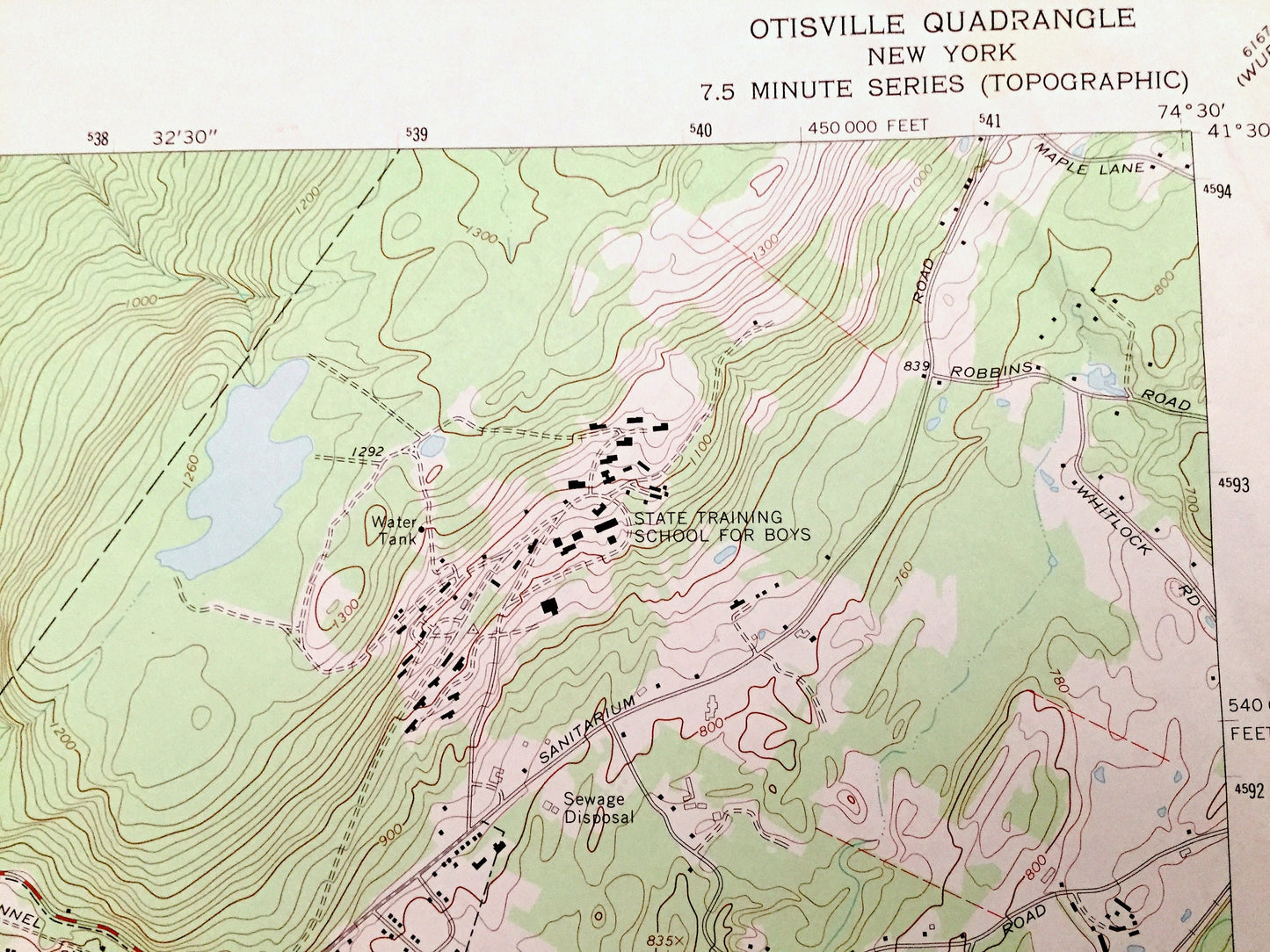
Antique Otisville, New York 1969 US Geological Survey Topographic Map – Sullivan, Orange County, Deer Park, Mount Hope, Greenville, NY
Antique Otisville, New York 1969 US Geological Survey Topographic Map – Sullivan, Orange County, Deer Park, Mount Hope, Greenville, NY
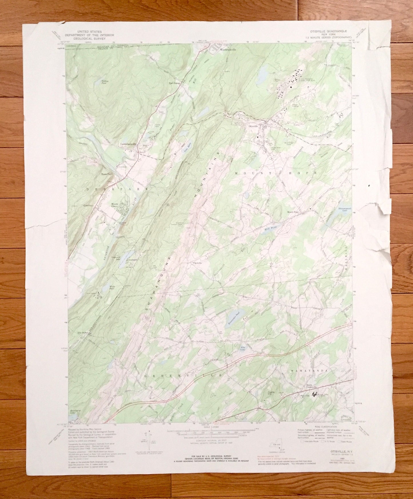
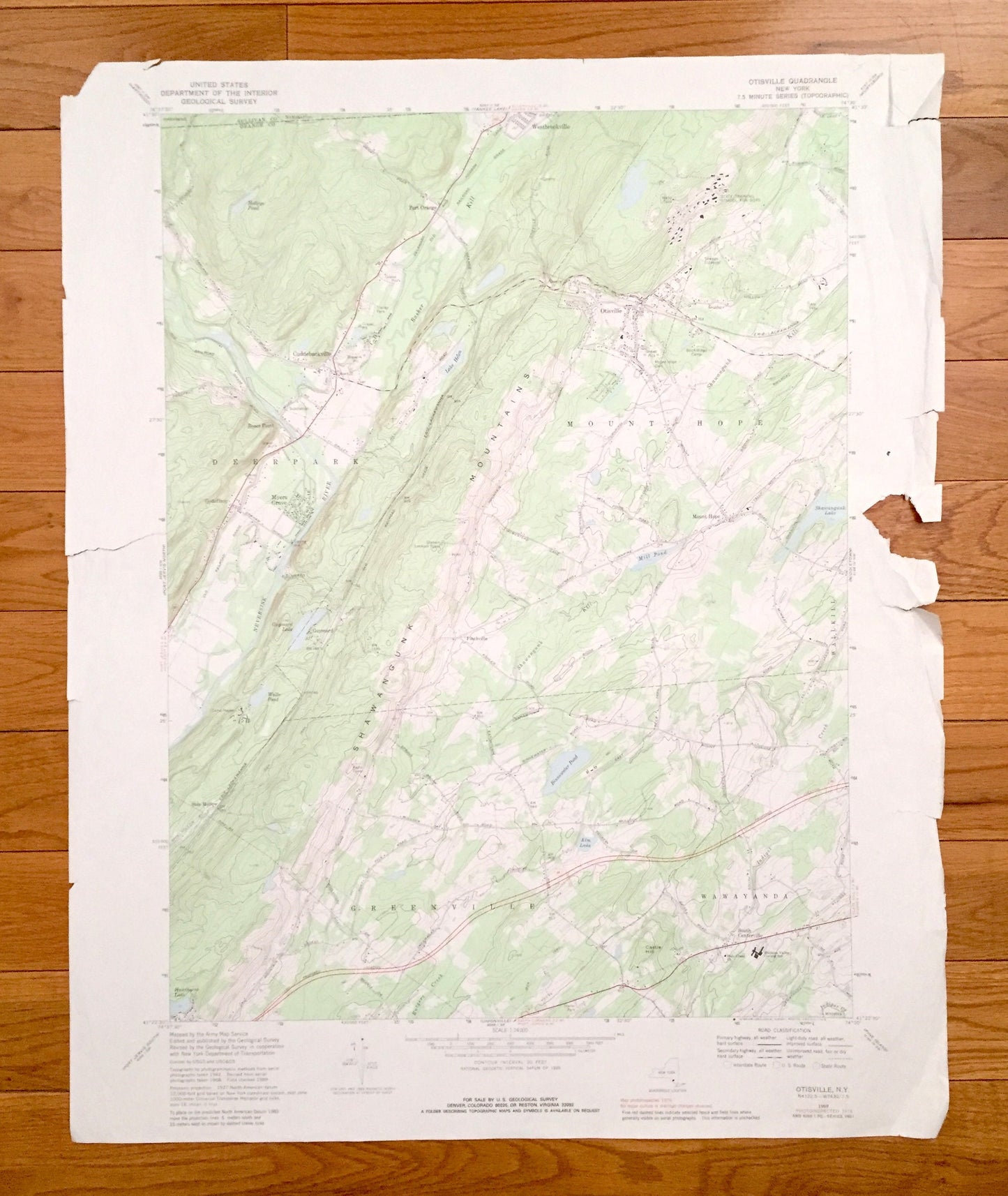
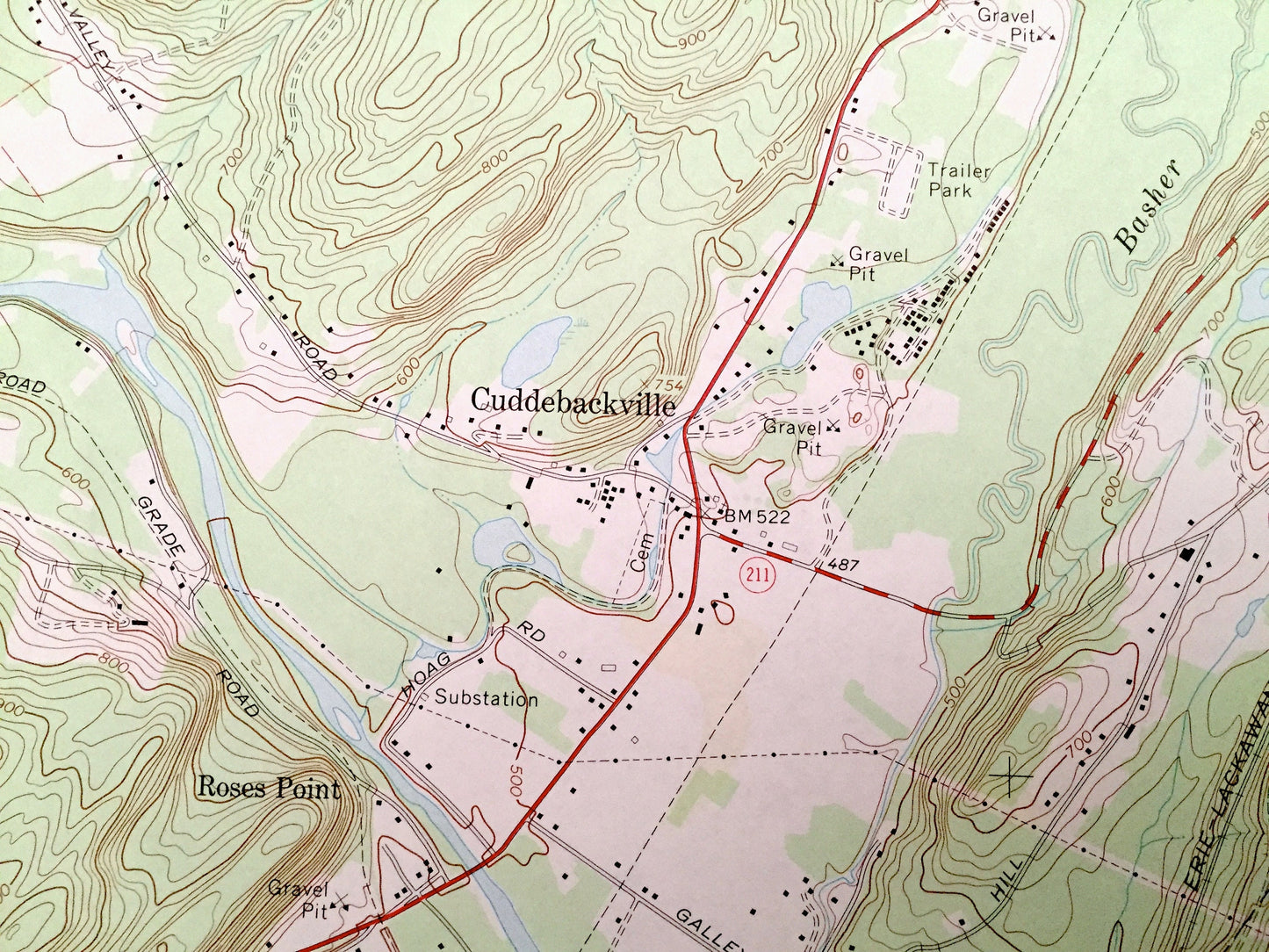
Beautiful, antique map of Otisville, New York and surrounding Orange County and Sullivan County areas. This is an authentic 1969 edition, 1979 print from the U.S. Geological Survey and NOT a computer reproduction.
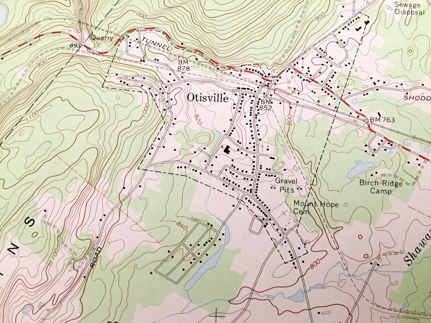
See what New York looked like over 50 years ago. Lots of intricate details and geological contours. Map even has little squares for every house that existed at the time. The USGS cartographers were very thorough back then!
Perfect for the historian, map-lover, the curious or just as a conversation starter. Wonderful and rare. Vintage maps such as these make great gifts.
Edition of 1969, printed 1979
Dimensions: 22" width x 27" height
----
Features
Cities & Towns: Wawayanda, Forestburg, Westbrookville, Port Orange, Cuddlebackville, Roses Point, Godeffroy, Myers Grove, Guymard, Finchville, Wallkill, Shin Hollow, South Centerville, Minisink.
Points of Interest: State Training School for Boys, Birch-Ridge Camp, Camp Hayes, Shawangunk Mountains, Castle Hill, Lake Helen, Mill Pond, Shawangunk Lake, Binnewater Pond, Elm Lake, Holleys Pond, Neversink River, Indigot Creek, Rutgers Creek, and many more hills, streams, ponds, houses, schools, railroads, churches and roads.
Condition: Good or "Very Vintage" condition, commensurate with age. This map is in good shape for being over 40 years old. Has edge-wear that includes larger tears on both sides and fold creases, all of which will read as character when framed.
----
We will happily adjust shipping price for multiple purchases. Maps are rolled up and shipped in sturdy mailing tubes, never folded.
Couldn't load pickup availability
Share