My Store
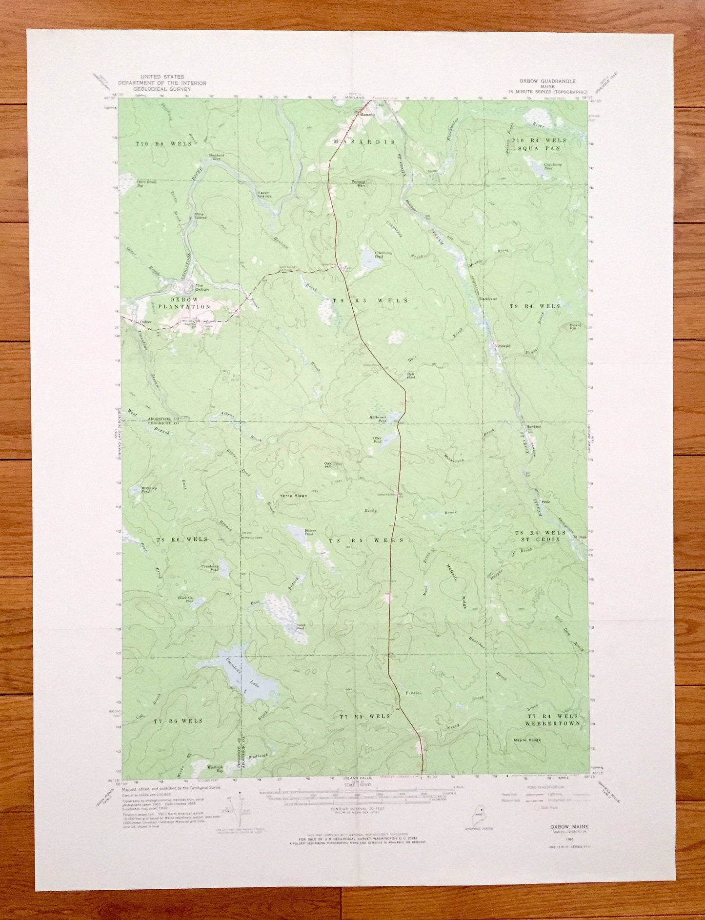
Antique Oxbow, Maine 1965 US Geological Survey Topographic Map – Masardis, Griswold, Pride, St. Croix, Umcolcus Lake, Aroostook, Penobscot
Antique Oxbow, Maine 1965 US Geological Survey Topographic Map – Masardis, Griswold, Pride, St. Croix, Umcolcus Lake, Aroostook, Penobscot
Beautiful, antique map of Oxbow, Maine and surrounding Aroostook & Penobscot Counties. This is an authentic 1965 edition, 1969 print from the U.S. Geological Survey and NOT a computer reproduction.
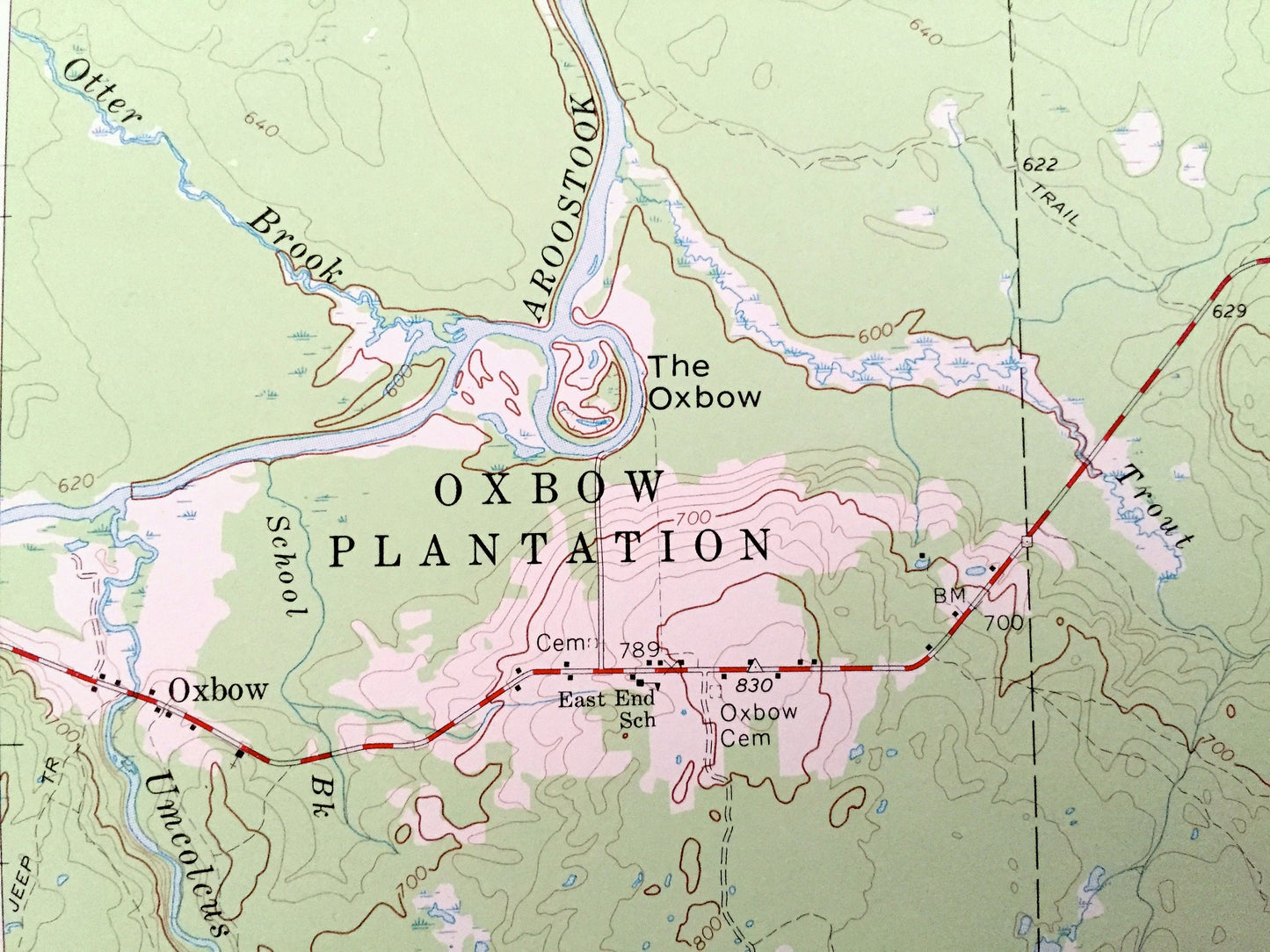
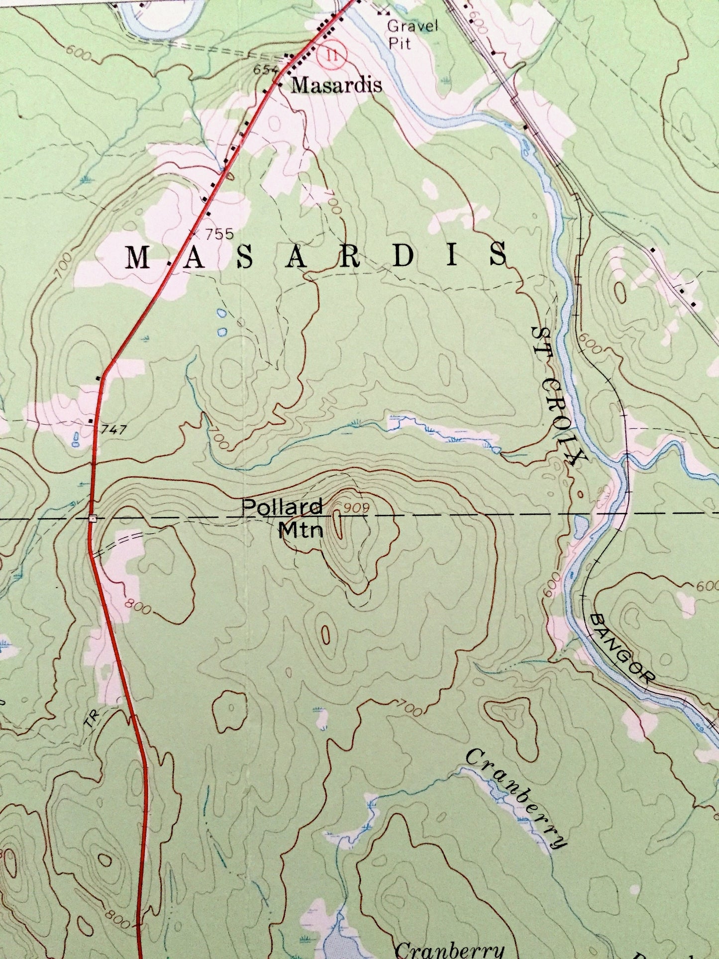
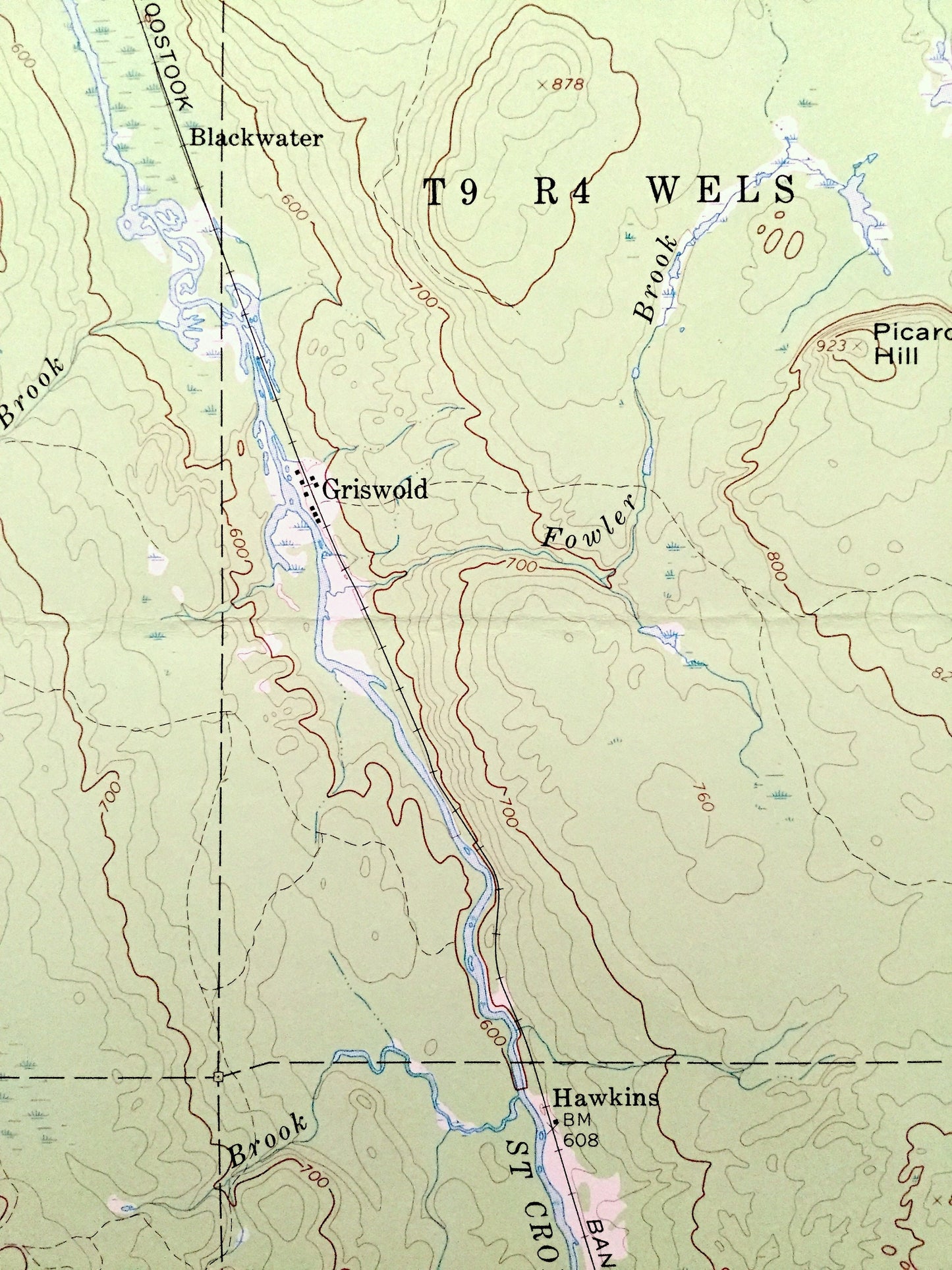
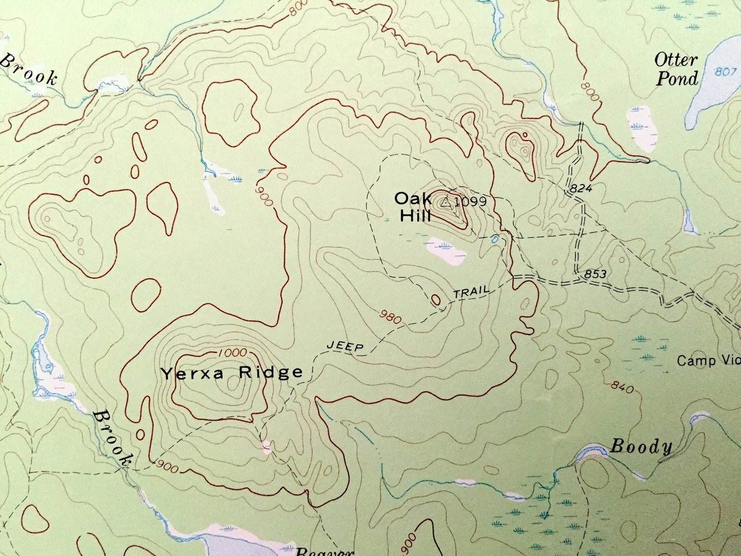
See what Oxbow, Masardis, Griswold, Pride and Umcolcus Lake looked like over 50 years ago. Lots of intricate details and geological contours. Map even has little squares for every house that existed at the time. The USGS cartographers were very thorough back then!
Perfect for the historian, map-lover, the curious or just as a conversation starter. Wonderful and rare. Vintage maps such as these make great gifts.
Edition of 1965, printed 1969
Dimensions: 16 1/2" width x 22" height
----
Features
Cities & Towns: Oxbow, Masardis, Griswold, Pride, St. Croix, Squa Pan, Webbertown.
Points of Interest: Aroostook County, Penobscot County, Umcolcus Lake, Matherson Pond, Otter Pond, Beaver Pond, Cranberry Pond, Aroostook River, St. Croix Stream, Blackwater River, Pollard Mountain, Oak Hill, Picard Hill, Yerxa Ridge, Umcolcus Stream, Jack Aiken Brook, Houlton Brook, Pine Island, Camp Dana, McManus Camp, Camp Violette, McNally Ridge, Aroostook Railroad, and lots more hills, mountains, streams, ponds, houses, camps and roads.
Condition: Very Good condition, commensurate with age. This map is in incredible shape for being 50 years old.
----
We will happily adjust shipping price for multiple purchases. Maps are rolled up and shipped in sturdy mailing tubes, never folded.
Couldn't load pickup availability
Share