My Store
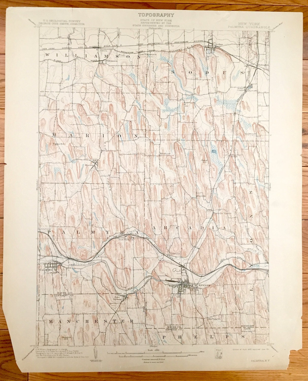
Antique Palmyra, New York 1902 US Geological Survey Topographic Map – Wayne County, Williamson, Sodus, Marion, Arcadia, Lyons, Manchester NY
Antique Palmyra, New York 1902 US Geological Survey Topographic Map – Wayne County, Williamson, Sodus, Marion, Arcadia, Lyons, Manchester NY
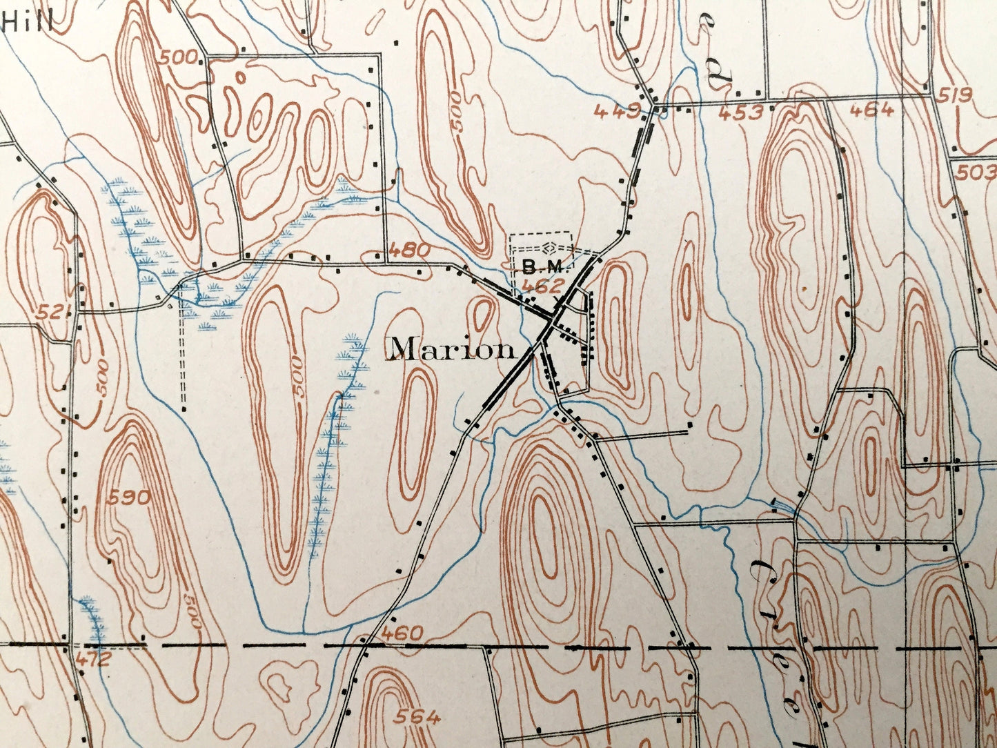
Beautiful, antique map of Palmyra, New York and surrounding Wayne County area. This is an authentic 1902 edition, 1911 print from the U.S. Geological Survey and NOT a computer reproduction.
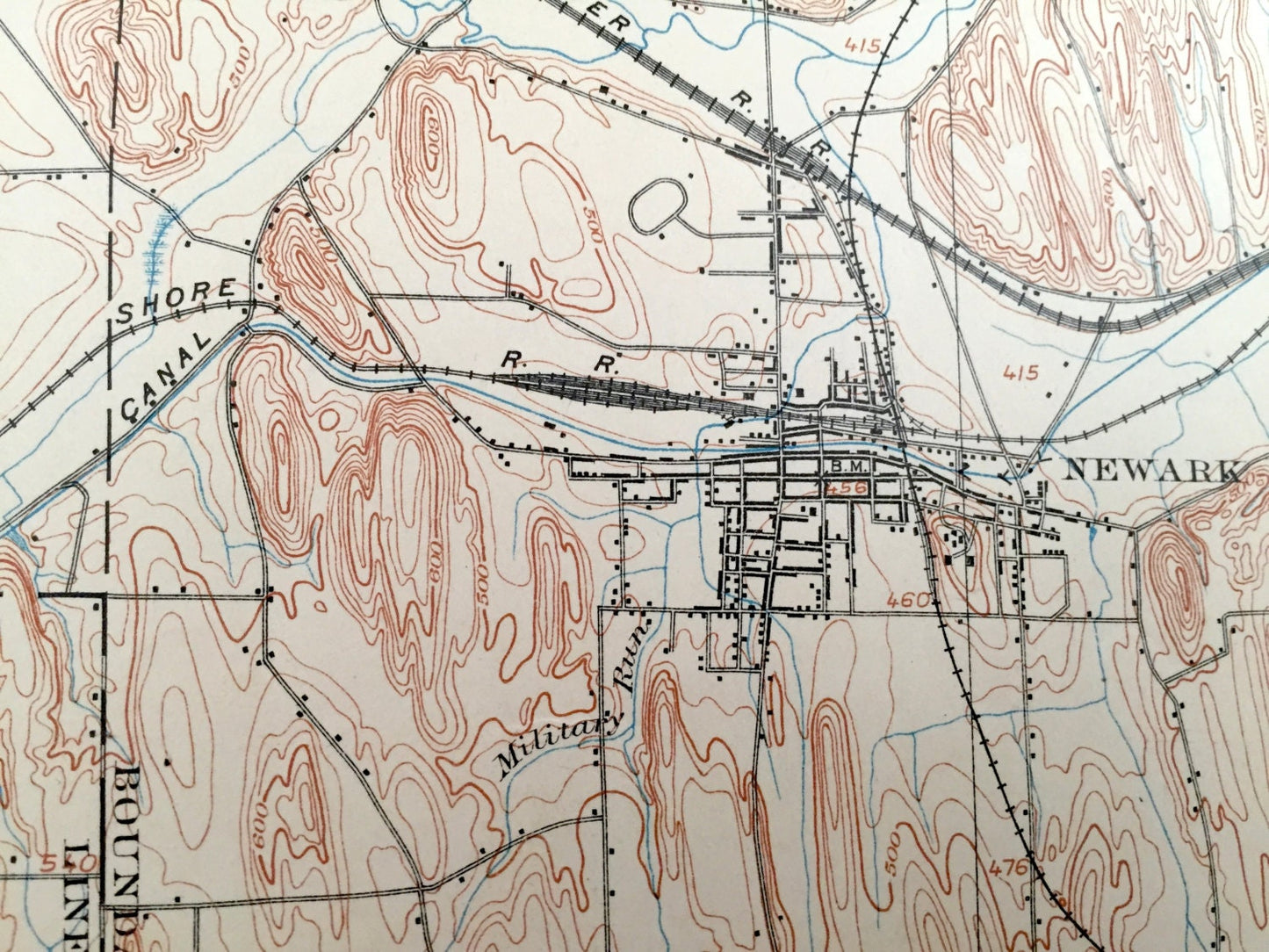
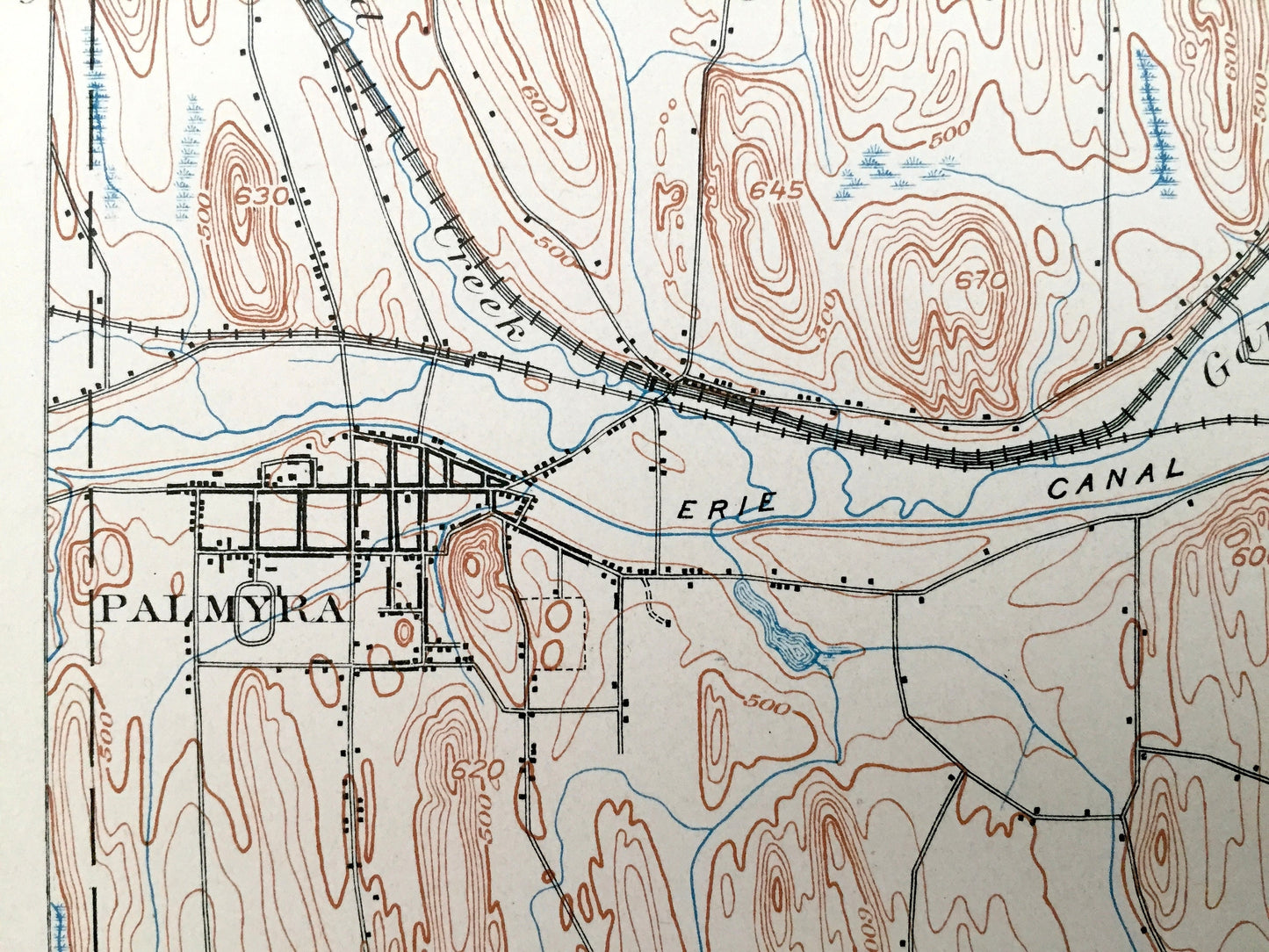
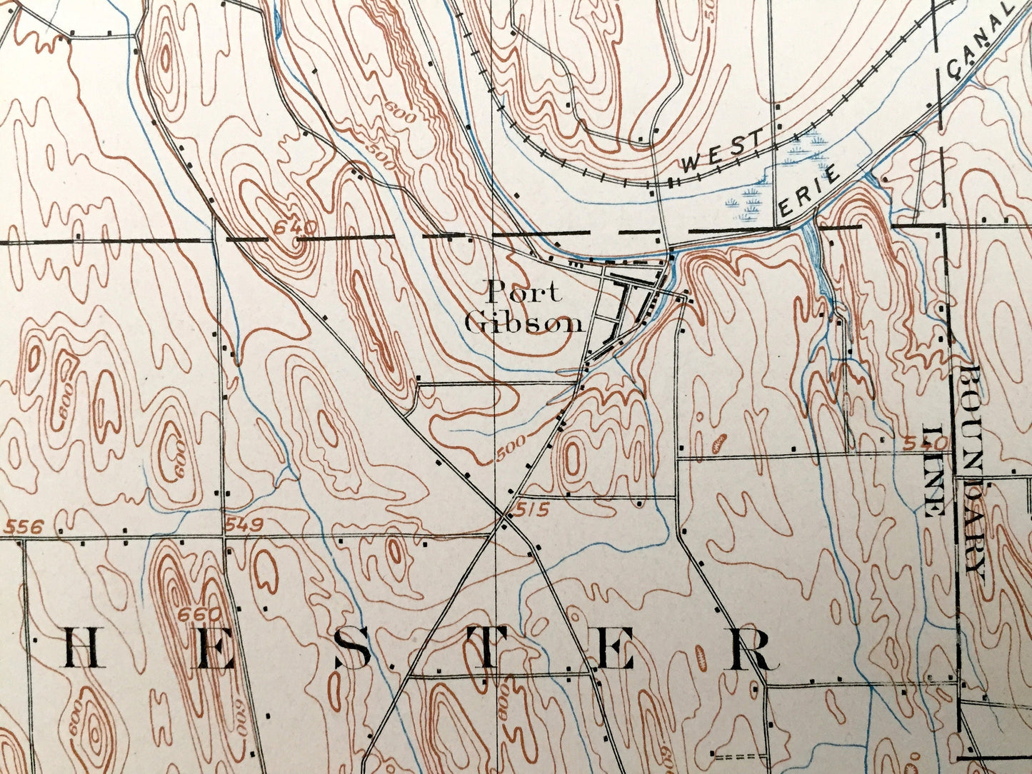
See what the Palmyra area looked like more than 120 years ago. Lots of intricate details and geological contours. Map even has little squares for every house that existed. The USGS cartographers were very thorough back then! On the back is a description of topographic symbols and map guide.
Perfect for the historian, map-lover, the curious or just as a conversation starter. Wonderful and rare. Vintage maps such as these make great gifts.
Edition of 1902, Printed 1911
Dimensions: 16 1/2" width x 20" height
----
Features
Towns: Palmyra, Williamson, Sodus, Marion, Arcadia, Lyons, Manchester, Newark, Phelps, Port Gibson, Wallington, Joy, Minsteed, Fairville, Zurich, Port Gibson, Newark, Marbletown.
Points of Interest: Wayne County, Ontario County, Erie Canal, Baker Hill, Pigeon Hill, Ganargua Creek, Mormon Hill, New York Central and Hudson River Rail, and many more creeks, rivers, hills, roads, railroads, houses, schools & churches.
Condition: Good or "Very Vintage" condition, commensurate with age. This map is in great shape for being more than 110 years old. Has some slight edge-wear and bottom corners have been cut, but this will all read as vintage character when framed.
----
We will happily adjust shipping price for multiple purchases. Maps are rolled up and shipped in sturdy mailing tubes, never folded.
Couldn't load pickup availability
Share