My Store
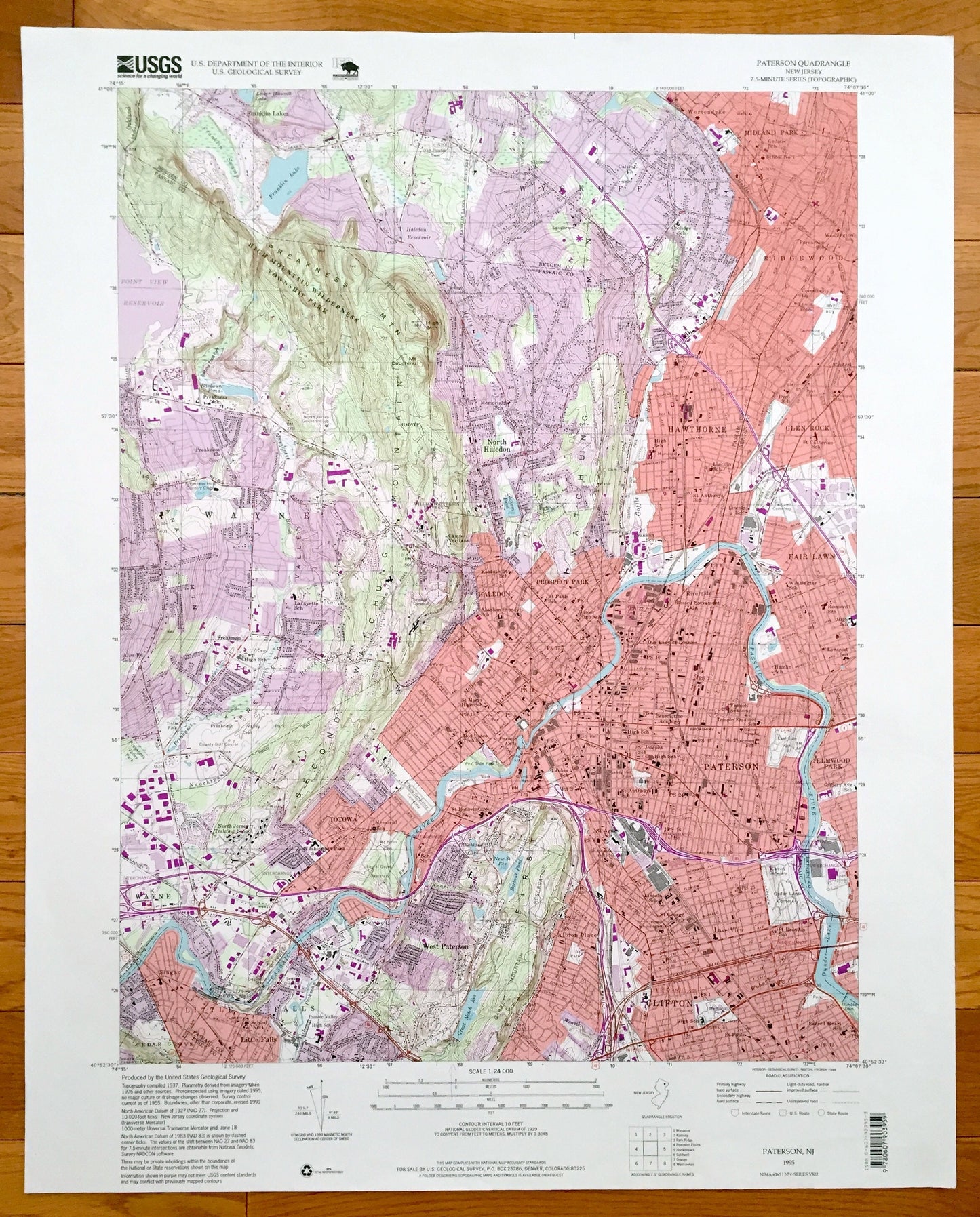
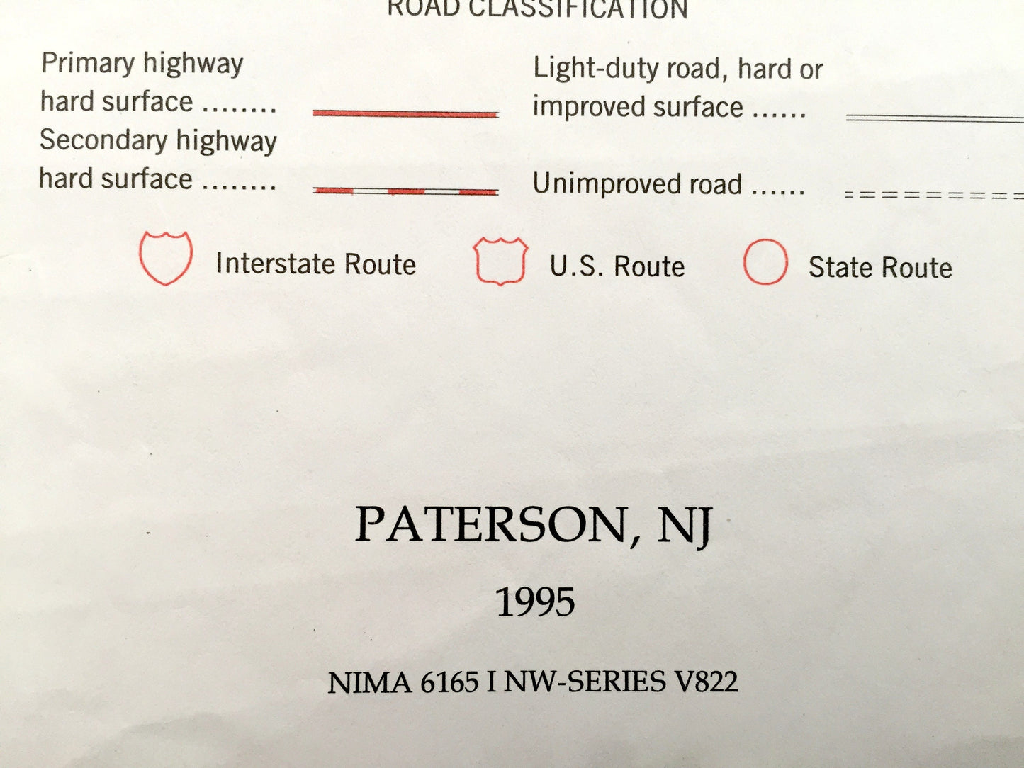
Antique Paterson, New Jersey 1995 US Geological Survey Topographic Map – Wayne, Little Falls, Hawthorne, Fair Lawn, Ridgewood, Clifton, NJ
Antique Paterson, New Jersey 1995 US Geological Survey Topographic Map – Wayne, Little Falls, Hawthorne, Fair Lawn, Ridgewood, Clifton, NJ
Beautiful, antique map of Paterson, North Haledon, Fair Lawn, Hawthorne, Clifton and Little Falls New Jersey. This is an authentic 1995 print from the U.S. Geological Survey and NOT a computer reproduction.
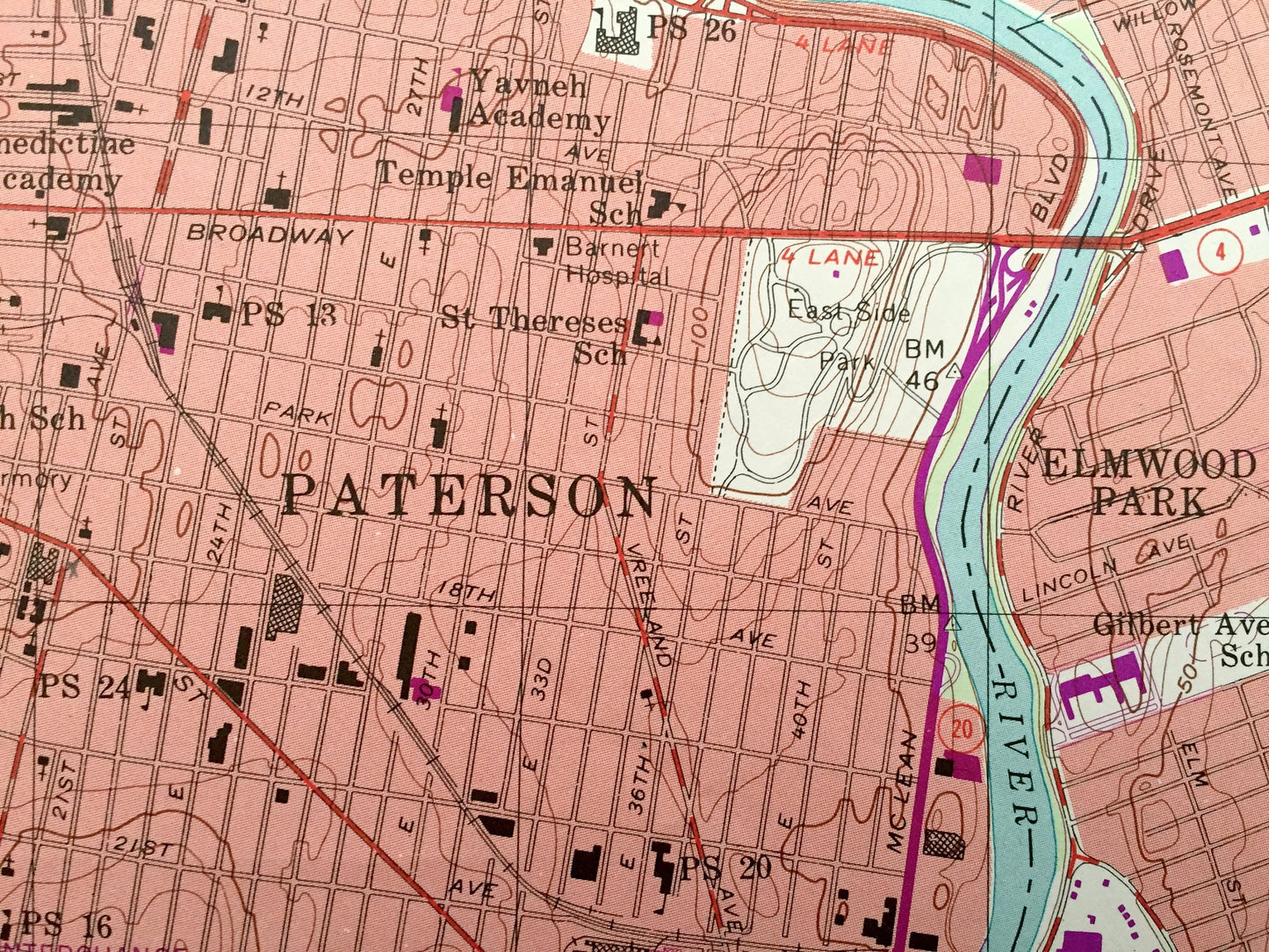
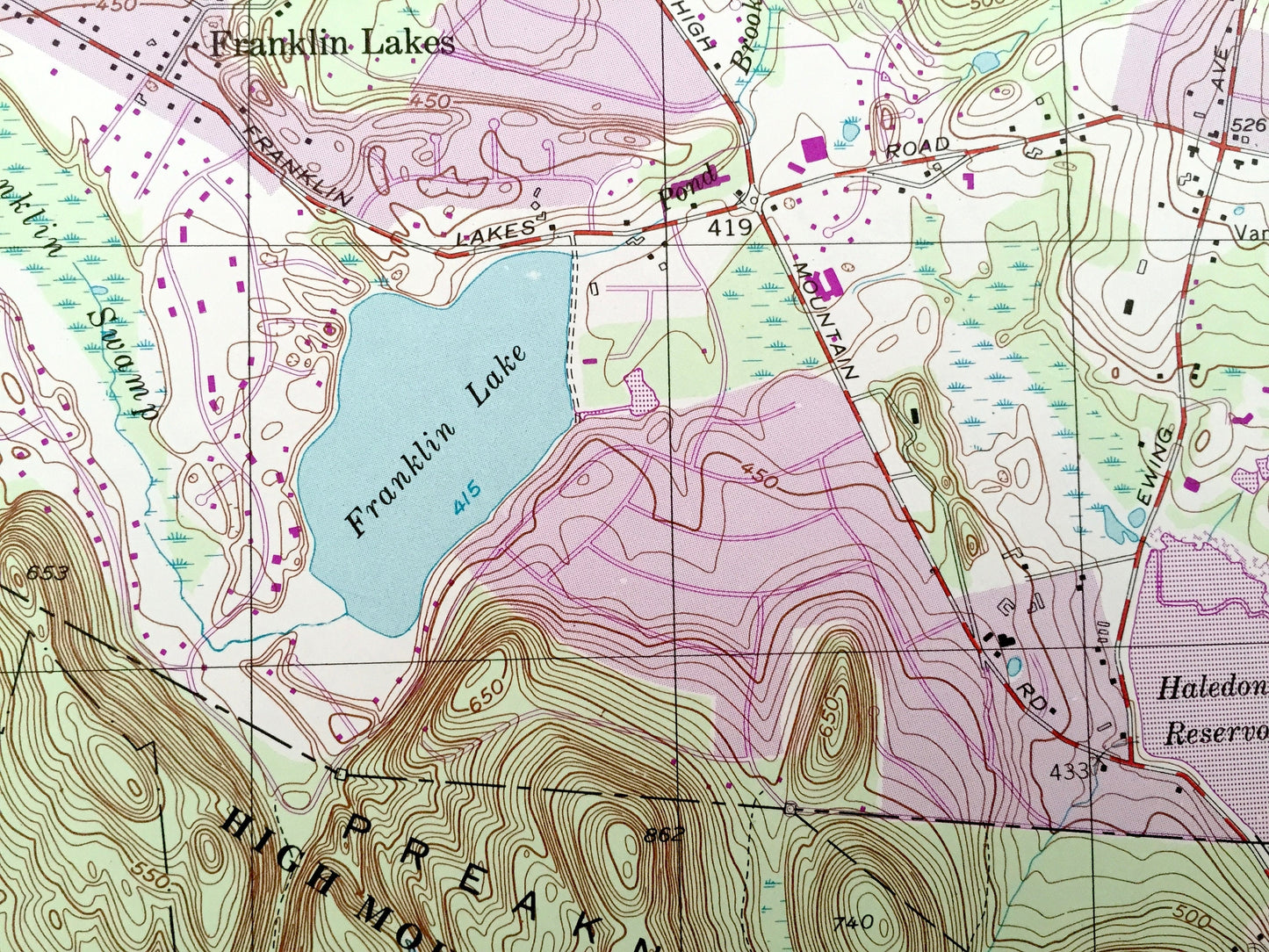
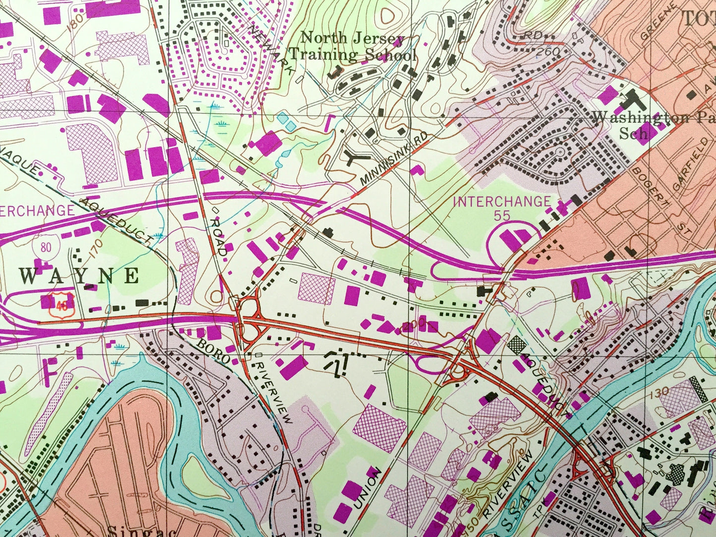
See what Bergen and Passaic Counties of New Jersey looked like over 20 years ago. Lots of intricate details and geological contours. Map even has little squares for every house that existed at the time. The USGS cartographers were very thorough back then!
Perfect for the historian, map-lover, the curious or just as a conversation starter. Wonderful and rare. Vintage maps such as these make great gifts.
Edition of 1995, printed 1995
Dimensions: 22" width x 27" height
----
Features
Cities & Towns: Franklin Lakes, North Haledon, Wyckoff, Ridgewood, Midland Park, Wortendyke, Glen Rock, Fair Lawn, Paterson, Elmwood Park, Clifton, Prospect Park, Haledon, West Paterson, Little Falls, Cedar Grove, Wayne, Totowa, Preakness.
Points of Interest: High Mountain Wilderness Township Park, Preakness Mountain, Franklin Lake, Point View Reservoir, Preakness School, North Jersey Country Club, Township High School, North Jersey Training School, Our Lady of Lourdes School, Dundee Lake, Glen Rock Post Office, Community Church, Passaic River, Garrett Mountain Reservoir, and lots more hills, streams, ponds, schools, churches, houses, and roads.
Condition: Very Good condition, commensurate with age. This map is in incredible shape for being over 20 years old.
----
We will happily adjust shipping price for multiple purchases. Maps are rolled up and shipped in sturdy mailing tubes, never folded.
Couldn't load pickup availability
Share