My Store
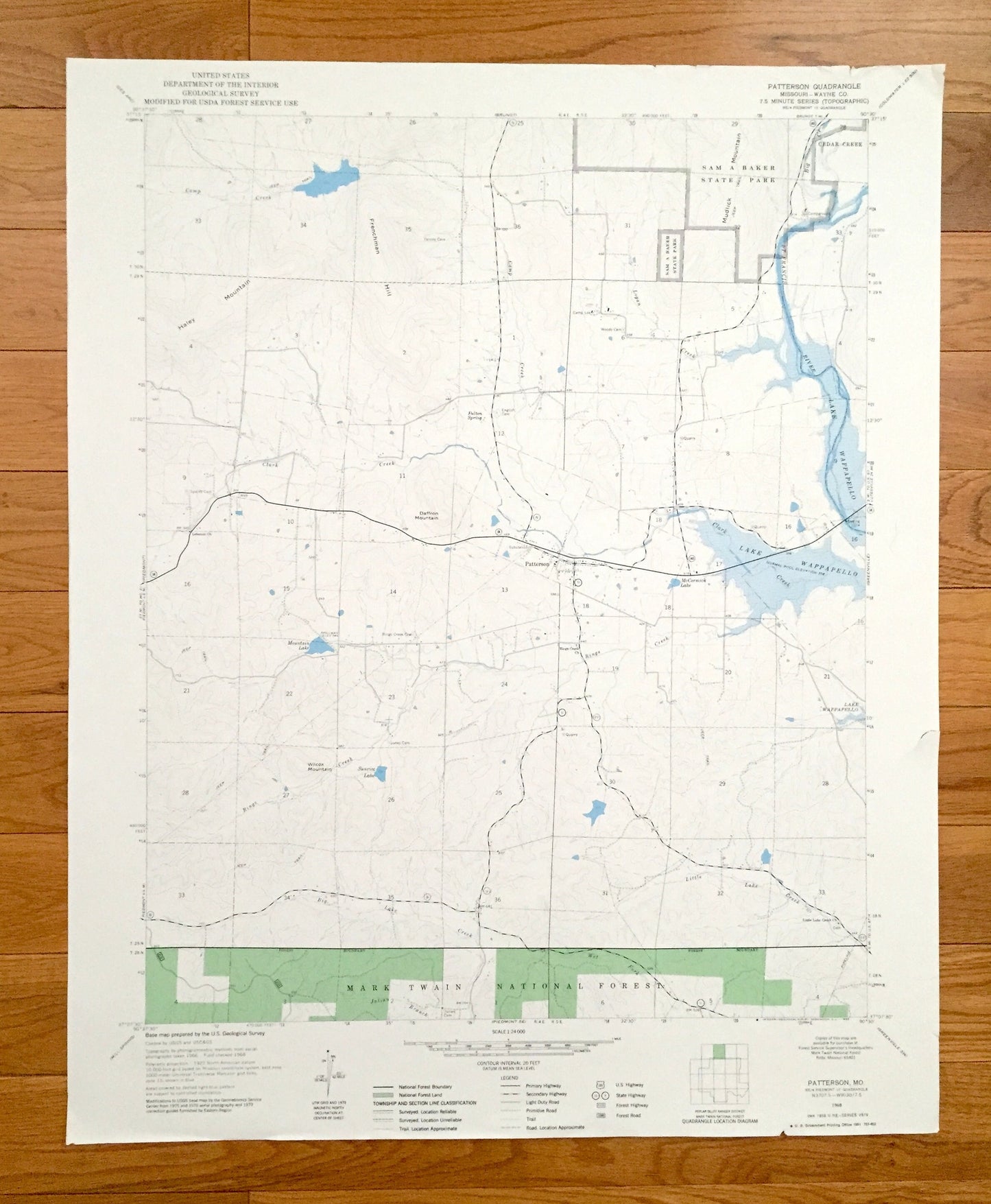
Antique Patterson, Missouri 1968 US Geological Survey Topographic Map – Wayne County, Cedar Creek, Sam A Baker State Park, MO
Antique Patterson, Missouri 1968 US Geological Survey Topographic Map – Wayne County, Cedar Creek, Sam A Baker State Park, MO
Beautiful, antique map of Patterson, Missouri and surrounding Wayne County area.
This is an authentic 1968 edition, 1969 print from the U.S. Geological Survey and NOT a computer reproduction.
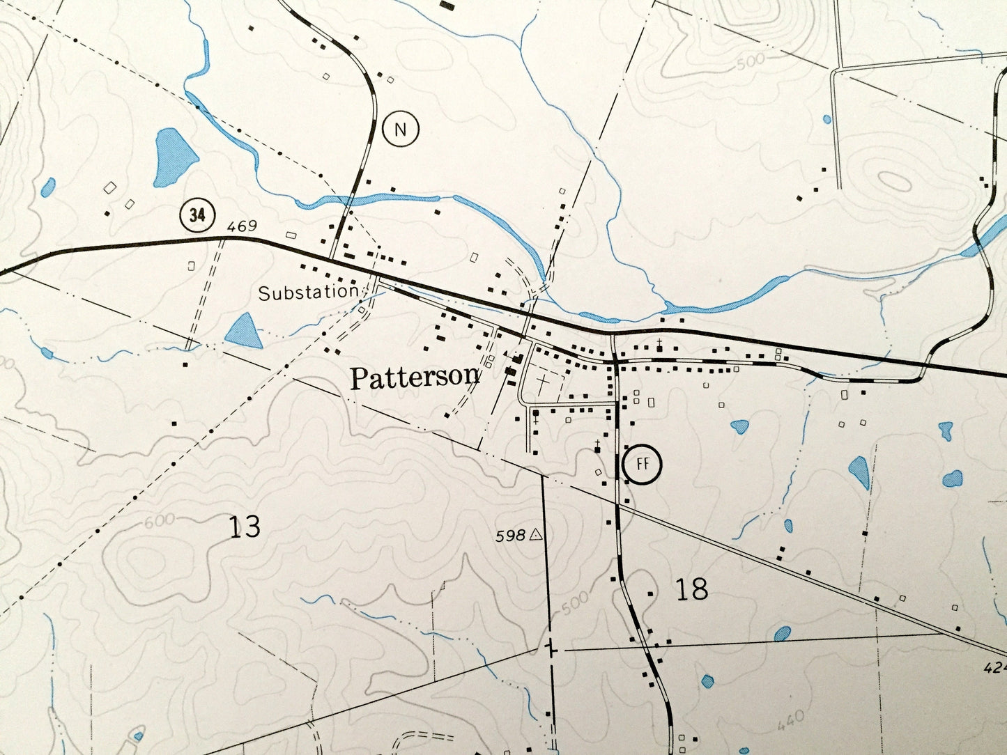
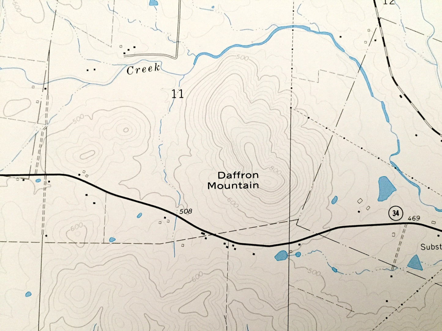
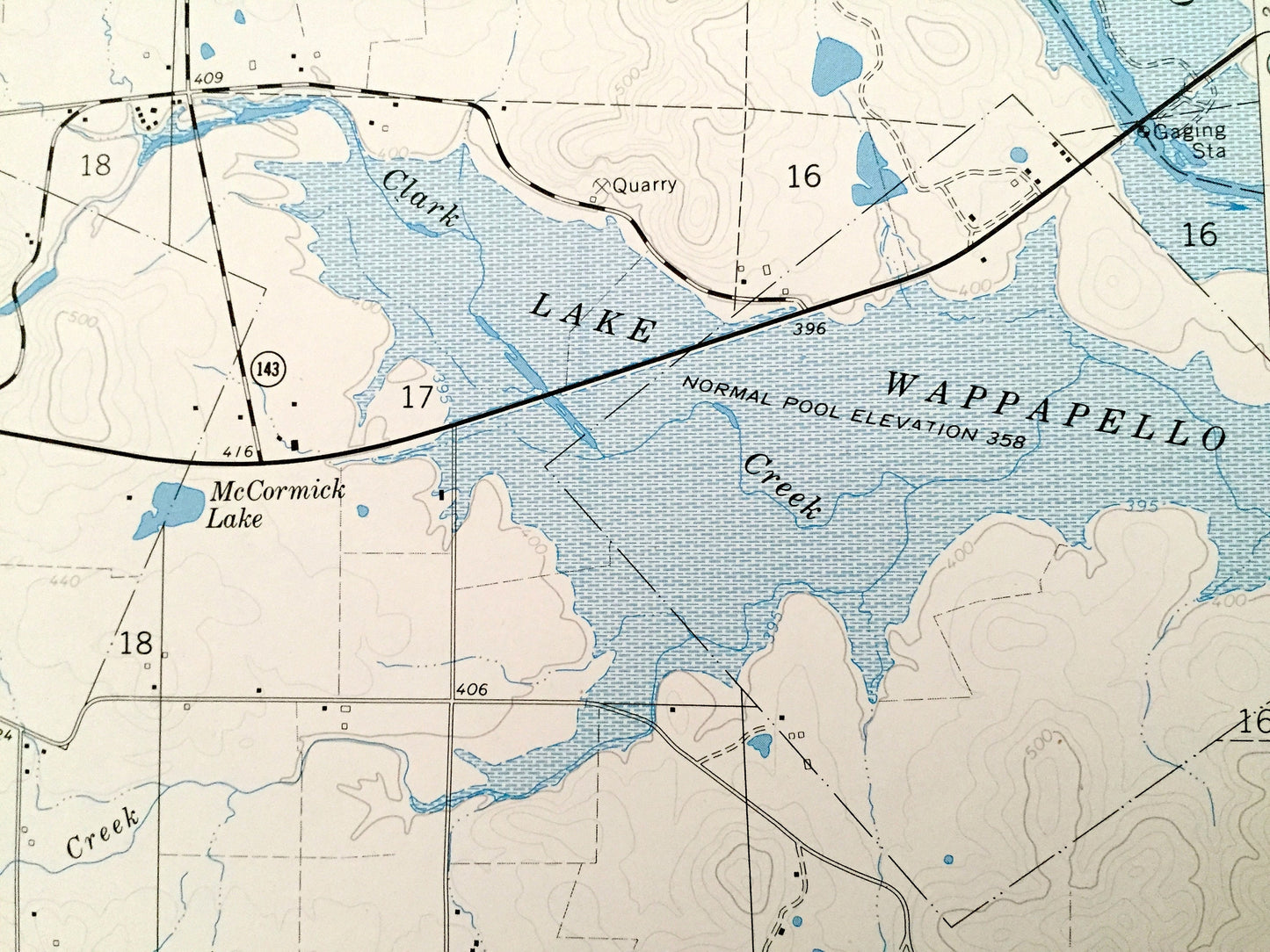
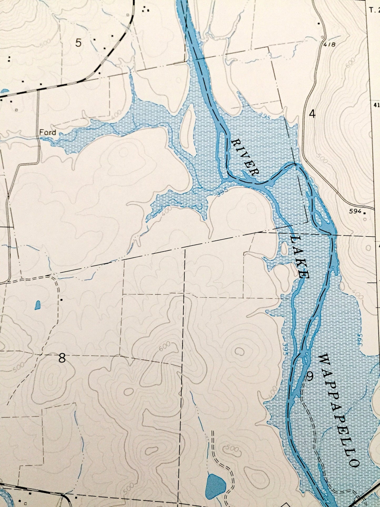
See what Missouri looked like over 50 years ago. Lots of intricate details and geological contours. Map even has little squares for every house that existed at the time. The USGS cartographers were very thorough back then!
Perfect for the historian, map-lover, the curious or just as a conversation starter. Wonderful and rare. Vintage maps such as these make great gifts.
Edition of 1968, printed 1969
Dimensions: 22" width x 27" height
----
Features
Points of Interest: Mark Twain National Forest, Lake Wappapello, St Francis River, Haley Mountain, Frenchman Hill, Daffron Mountain, Wilcox Mountain, Mountain Lake, Sunrise Lake, Camp Creek, Clark Creek, Rings Creek, Little Lake Creek, Logan Creek, and many more hills, streams, ponds, houses, schools, railroads, churches and roads.
Condition: Very Good Vintage condition, commensurate with age. This map is in great shape for being over 50 years old. Has some edge-wear but this will read as character when framed.
----
We will happily adjust shipping price for multiple purchases. Maps are rolled up and shipped in sturdy mailing tubes, never folded.
Couldn't load pickup availability
Share