My Store
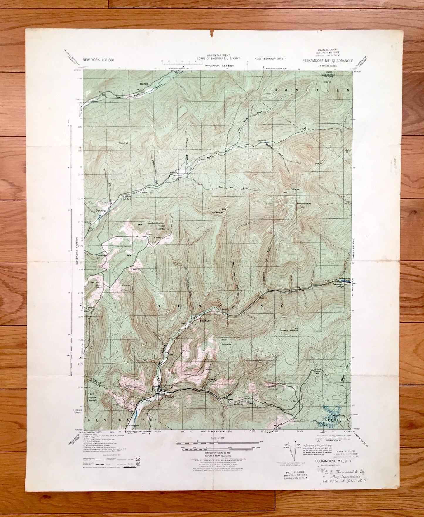
Antique Peekamoose Mountain, New York 1943 US Geological Survey Topographic Map – Ulster, Sullivan County, Denning, Shandaken, Neversink, NY
Antique Peekamoose Mountain, New York 1943 US Geological Survey Topographic Map – Ulster, Sullivan County, Denning, Shandaken, Neversink, NY
Beautiful, antique map of Peekamoose Mountain, New York and surrounding Ulster & Sullivan County area. This is an authentic 1943 print from the U.S. Army Corps of Engineers and NOT a computer reproduction.
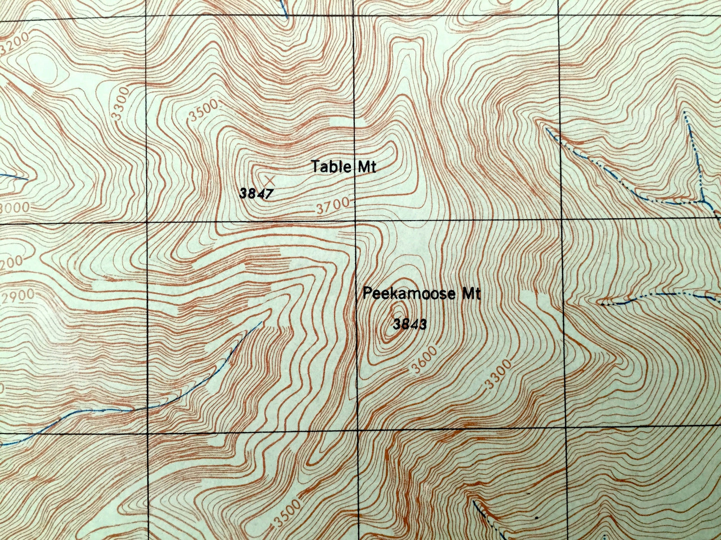
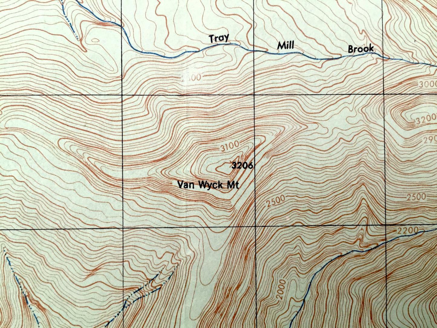
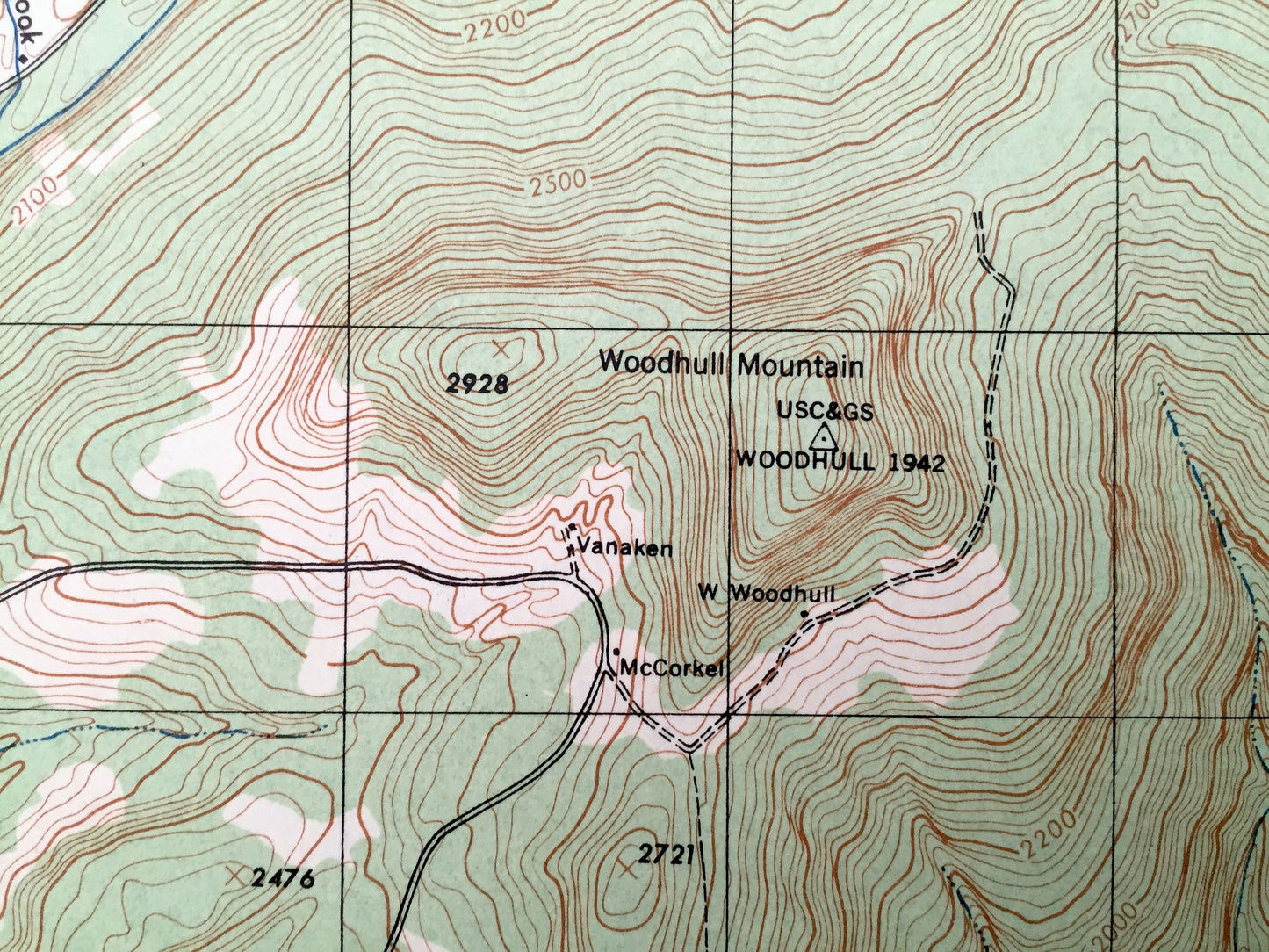
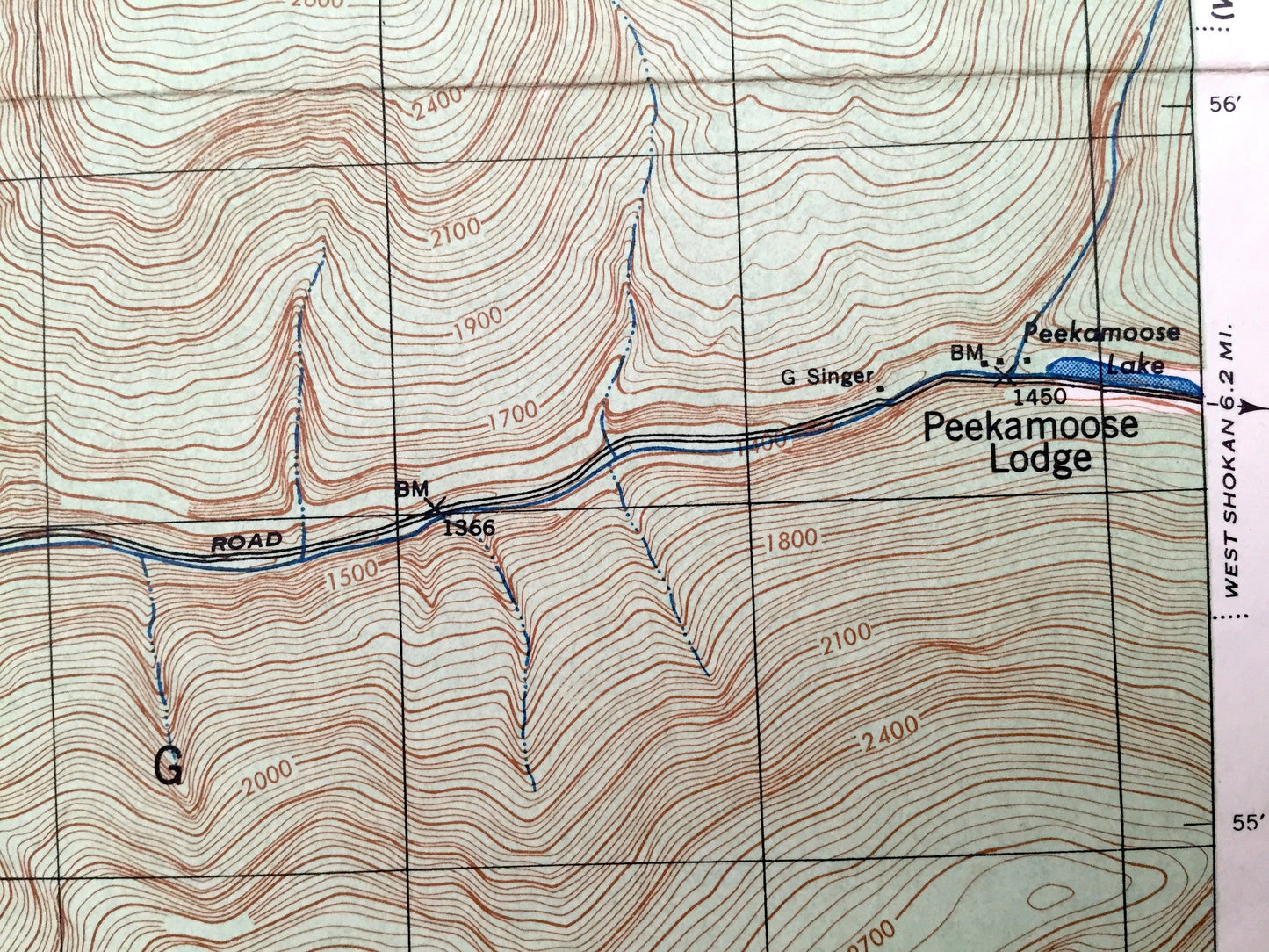
See what New York looked like over 75 years ago. Lots of intricate details and geological contours. Map even has little squares for every house that existed at the time. The USGS cartographers were very thorough back then!
Perfect for the historian, map-lover, the curious or just as a conversation starter. Wonderful and rare. Vintage maps such as these make great gifts.
Edition of 1943, printed 1943
Dimensions: 18" width x 22" height
----
Features
Cities & Towns: Denning, Shandaken, Neversink, Rochester, Branch, Sundown, Bull Runn, Peekamoose Lodge.
Points of Interest: Ulster County, Sullivan County, Peekamoose Mountain, Slide Mountain, Wildcat Mountain, Lone Mountain, Van Wyck Mountain, Woodhull Mountain, Deer Shanty Brook, Neverink Creek, Sundown Creek, Red Hill, Samson Mountain, Bangle Hill, Sugarloaf Mountain, Rondout Creek, Table Mountain, Rocky Mountain, Vemooy Kill, Denning State Camp and many more roads, railroads, houses, ponds, hills, creeks, and lakes.
Condition: Very Good Vintage condition, commensurate with age. This map is in great shape for being over 75 years old. Has light edge-wear, toning, old flattened fold lines and stamp in bottom margin, but this will add to vintage character when framed.
----
We will happily adjust shipping price for multiple purchases. Maps are rolled up and shipped in sturdy mailing tubes, never folded.
Couldn't load pickup availability
Share