My Store
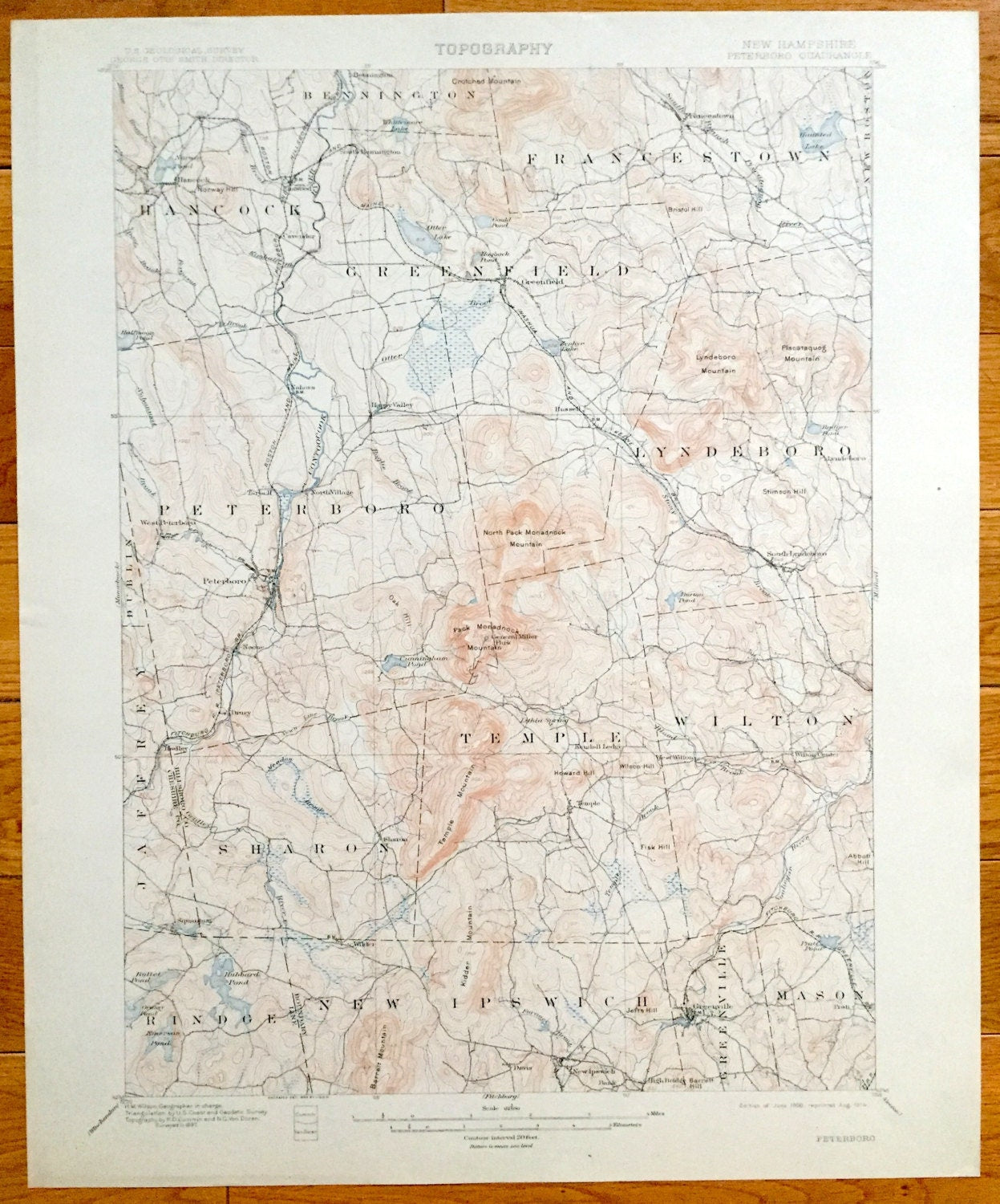
Antique Peterborough, New Hampshire 1900 US Geological Survey Topograph Map – Hancock, Greenfield, Greenville Francestown Mount Monadnock NH
Antique Peterborough, New Hampshire 1900 US Geological Survey Topograph Map – Hancock, Greenfield, Greenville Francestown Mount Monadnock NH
Beautiful, antique map of Peterborough, New Hampshire (spelled the old way here: Peterboro) and surrounding Hillsboro County area on the Contoocook River. This is an authentic 1900 edition, 1914 print from the U.S. Geological Survey and NOT a computer reproduction.
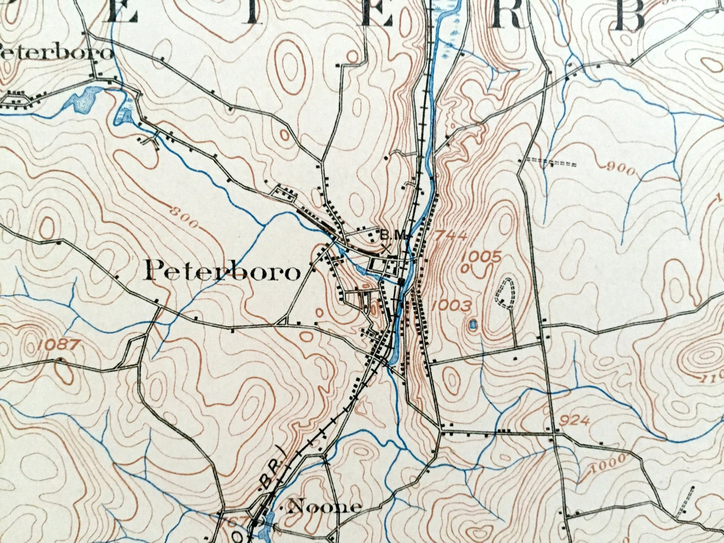
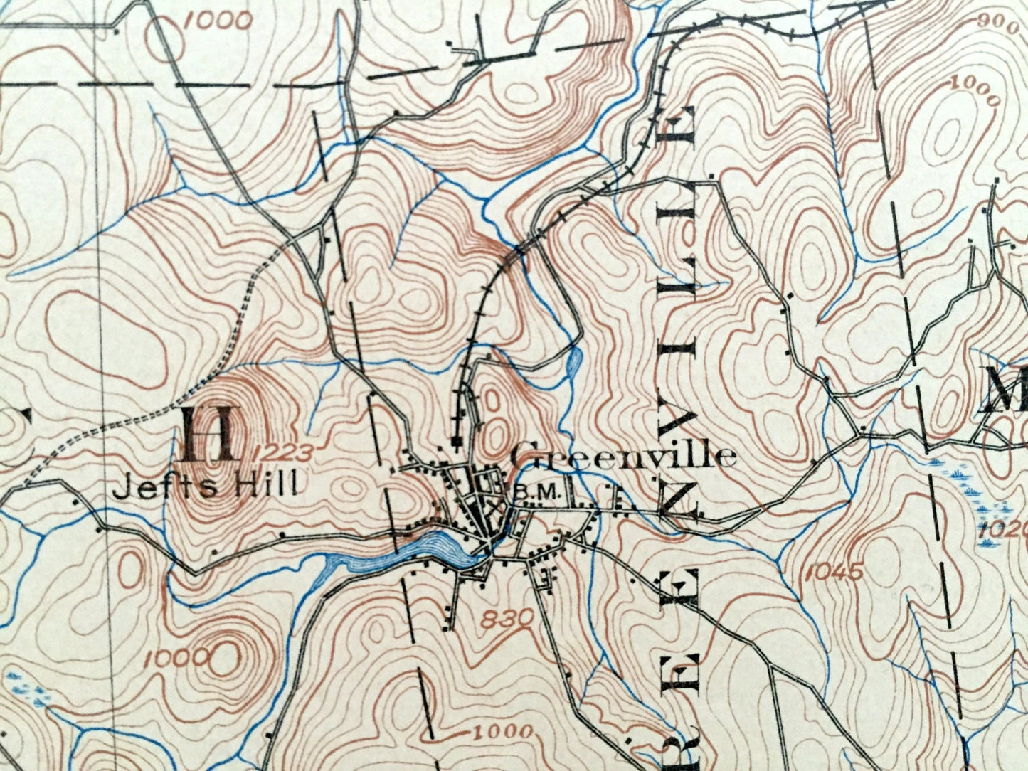
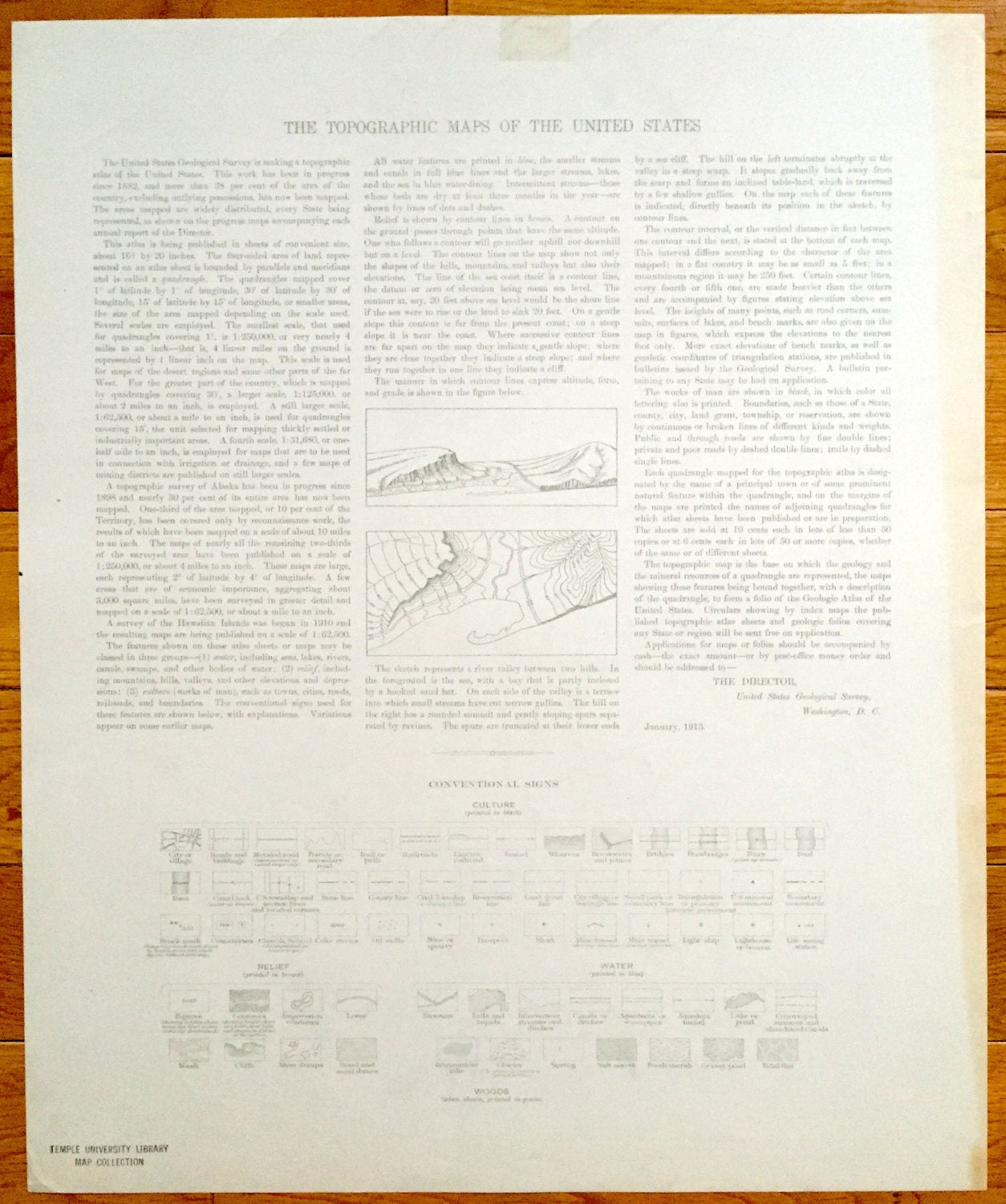
See what Southern New Hampshire looked like more than 120 years ago. Lots of intricate details and geological contours. Map even has little squares for every house that existed at the time. The USGS cartographers were very thorough back then! On the back is a description of topographic symbols and map guide.
Perfect for the historian, map-lover, the curious or just as a conversation starter. Wonderful and rare. Vintage maps such as this make great gifts.
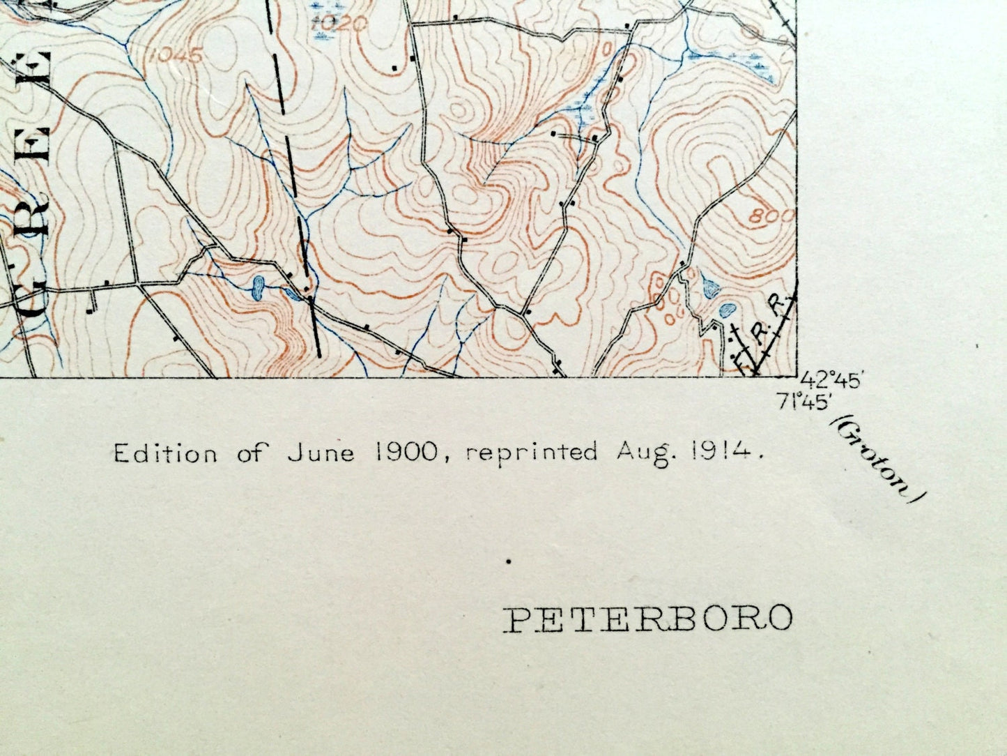
Edition of 1900, printed 1914
Dimensions: 16 1/2" width x 20" height
----
Features
Cities & Towns: Hancock, Bennington, Greenfield, Francestown, New Boston, Peterboro, Lyndeboro, Dublin, Jaffrey, Temple, WIlton, Rindge, New Ipswich, Greenville, Mason, South Bennington, Nahors, Happy Valley, West Peterboro, North Village, Noone, South Lyndeboro, Drury, Kendall Ledge, Wilton Center, Temple, Squantum, Wilder, Davis, Bank, High Bridge, Pratt.
Points of Interest: Contoocook River, Crotched Mountain, Bristol Hill, Lyndeboro Mountain, Piscataquog Mountain, North Pack Monadnock Mountain, Pack Monadnock Mountain, Temple Mountain, Howard Hill, Fisk Hill, Barret Mountain, Kidder Mountain, Jefts Hill, Otter Lake, Haunted Lake, Zephyr Lake, Cunningham Pond, Hubbard Pond, Bullet Pond, Oak Hill, General Miller Park, Fitchburg Railroad, and many more small towns, roads, train tracks, hills, islands and creeks.
Condition: Very Good Vintage condition, commensurate with age. This map is in great shape for being more than 100 years old. Light wear but this will add to vintage character when framed.
----
We will happily adjust shipping price for multiple purchases. Maps are rolled up and shipped in sturdy mailing tubes, never folded.
Couldn't load pickup availability
Share