My Store
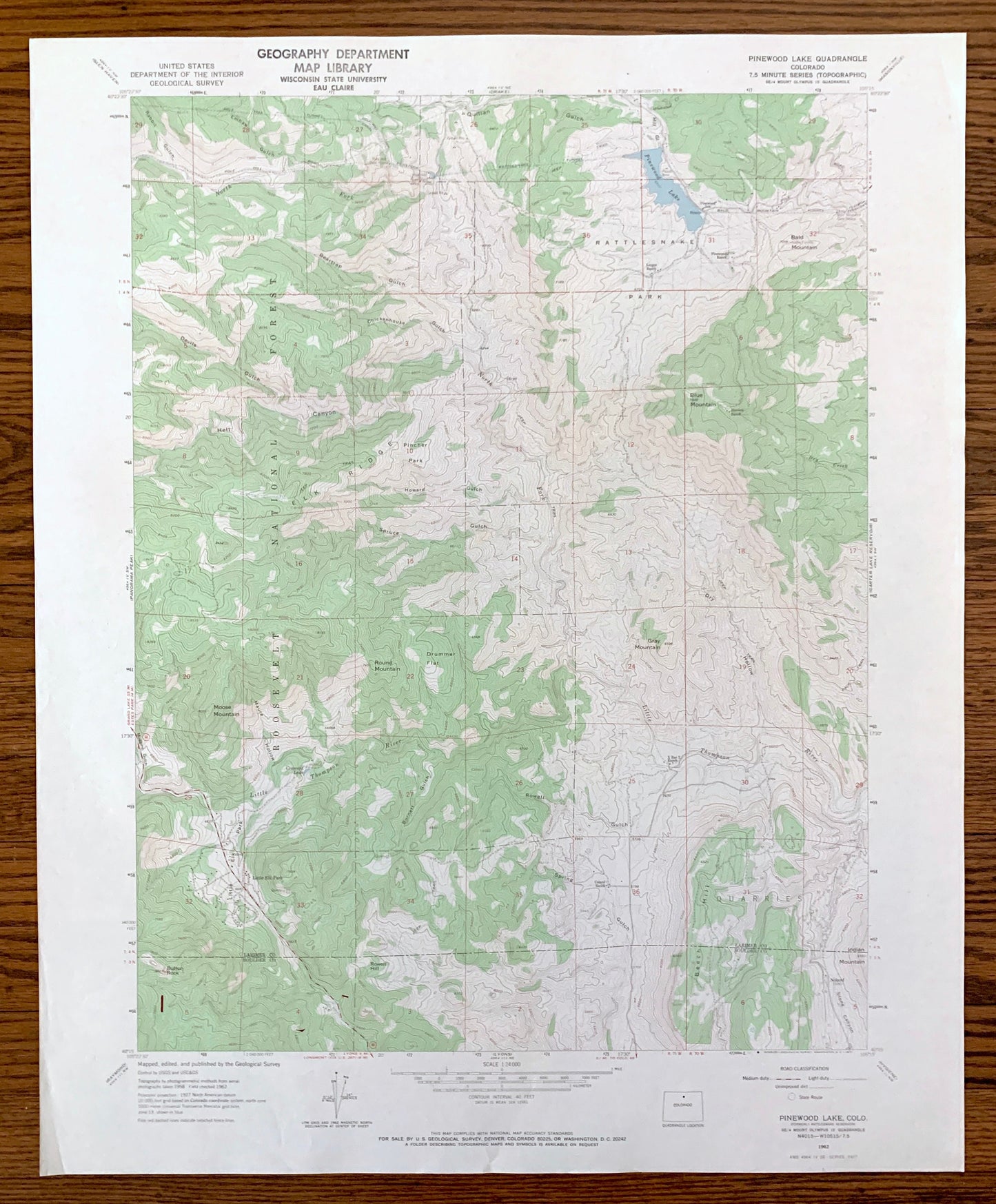
Antique Pinewood Lake, Colorado 1962 US Geological Survey Topographic Map – Larimer, Boulder County, Roosevelt National Forest, Reservoir CO
Antique Pinewood Lake, Colorado 1962 US Geological Survey Topographic Map – Larimer, Boulder County, Roosevelt National Forest, Reservoir CO
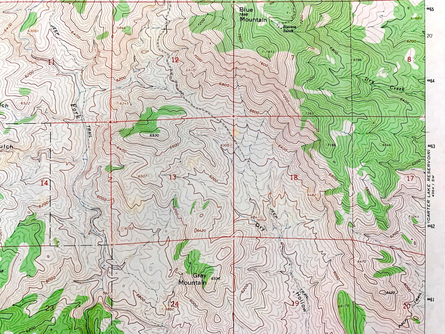
Beautiful, antique map of Pinewood Lake, Colorado and surrounding Larimer County & Boulder County areas. This is an authentic 1962 edition, 1971 print from the U.S. Geological Survey and NOT a computer reproduction.
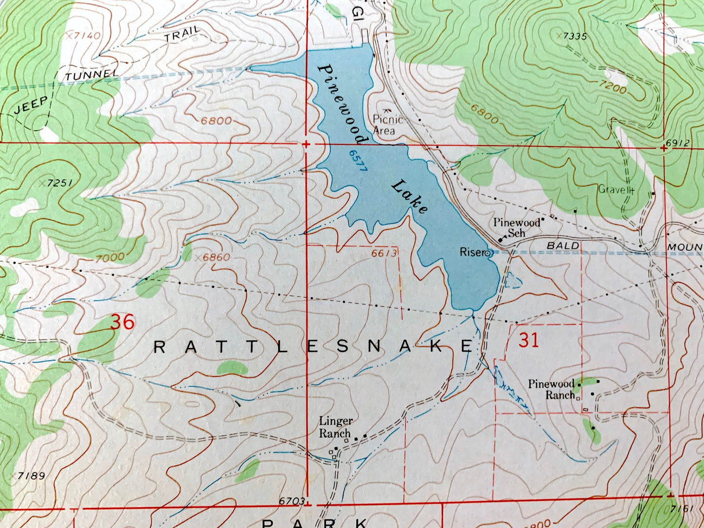
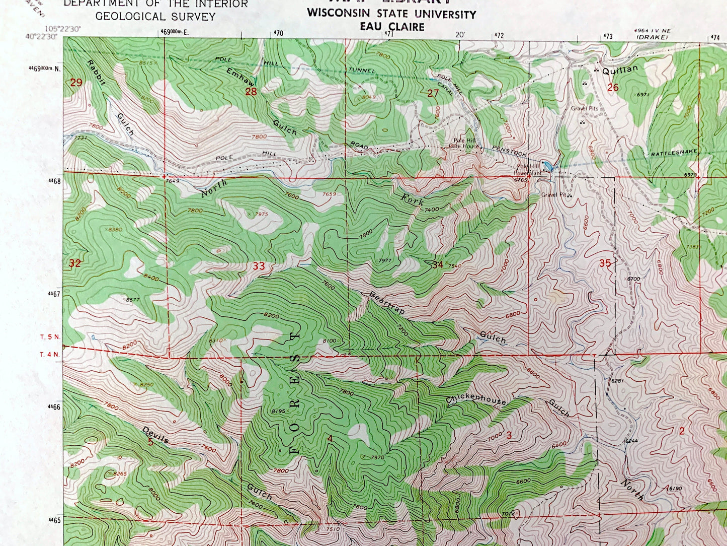
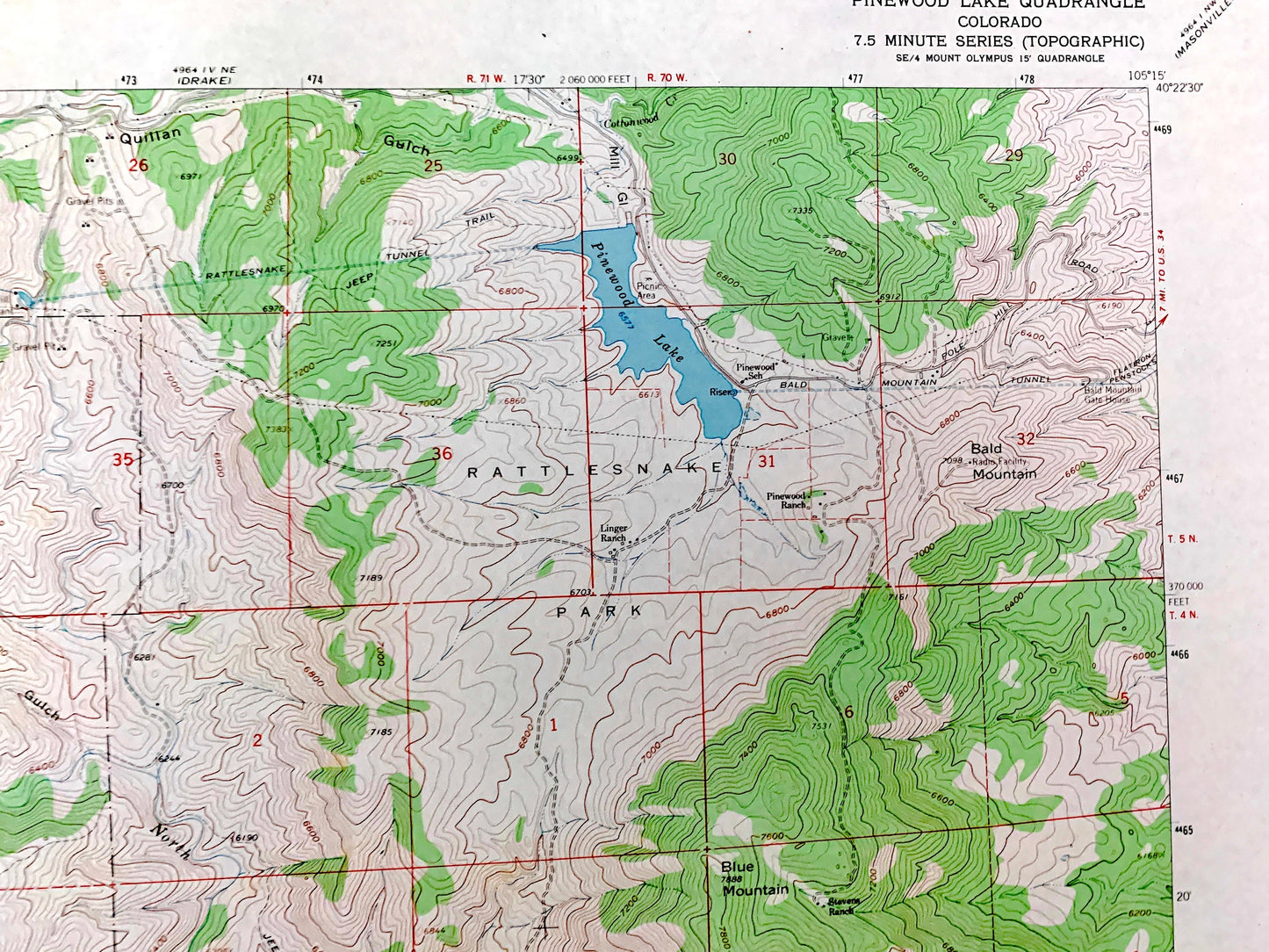
See what Colorado looked like over 60 years ago. Lots of intricate details and geological contours. Map even has little squares for every house that existed at the time. The USGS cartographers were very thorough back then!
Perfect for the historian, map-lover, the curious or just as a conversation starter. Wonderful and rare. Vintage maps such as these make great gifts.
Edition of 1962, printed 1971
Dimensions: 22" width x 27" height
----
Features
Points of Interest: Roosevelt National Forest, Rattlesnake Park, Elk Ridge, Little Elk Park, Blue Mountain, Bald Mountain, Moose Mountain, Gray Mountain, Beech Hill, Button Rock, Pinewood Lake, Pinewood Ranch, Linger Ranch, Stevens Ranch, Bald Mountain Gate House, Little Thompson River, Cottonwood Creek, and many more hills, streams, ponds, houses, schools, railroads, churches and roads.
Condition: Very Good Vintage condition, commensurate with age. This map is in great shape for being over 50 years old. Has light edge-wear and a stamp on the front but will read as character when framed.
----
We will happily adjust shipping price for multiple purchases. Maps are rolled up and shipped in sturdy mailing tubes, never folded.
Couldn't load pickup availability
Share