My Store
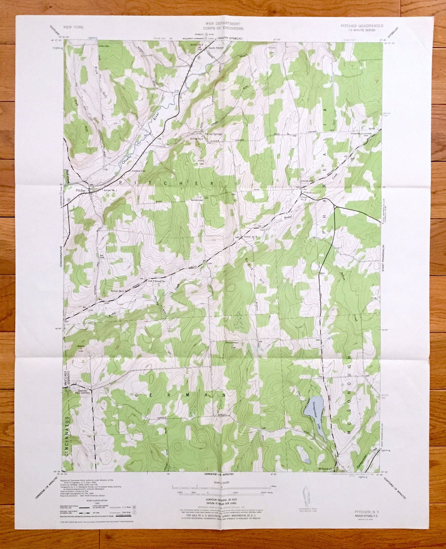
Antique Pitcher, New York 1944 US Geological Survey Topographic Map – Chenango County, Pitcher Springs, Cincinnatus, Pharsalia, German, NY
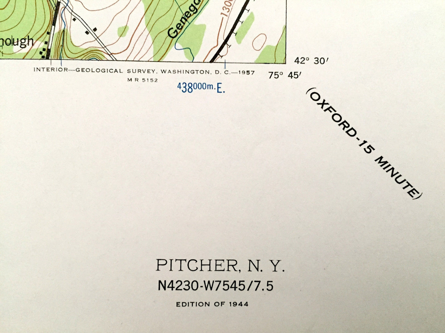
Antique Pitcher, New York 1944 US Geological Survey Topographic Map – Chenango County, Pitcher Springs, Cincinnatus, Pharsalia, German, NY
Beautiful, antique map of Pitcher, New York and surrounding Chenango County area. This is an authentic 1944 print from the U.S. Geological Survey and NOT a computer reproduction.
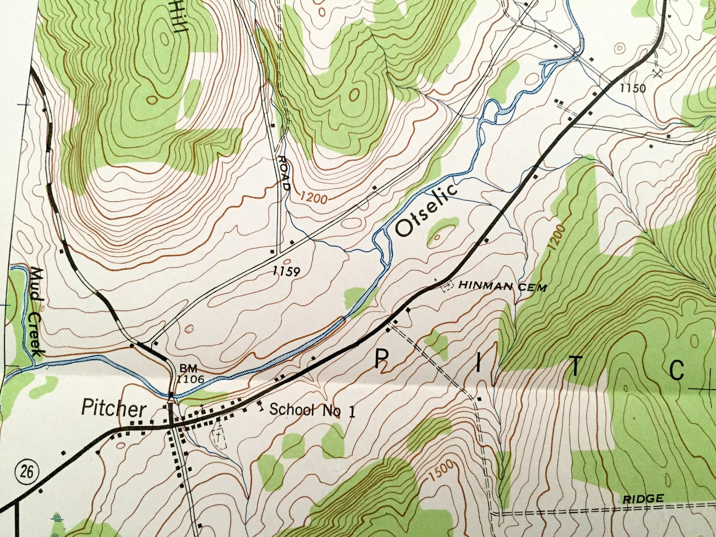
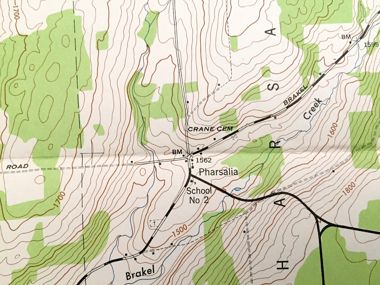
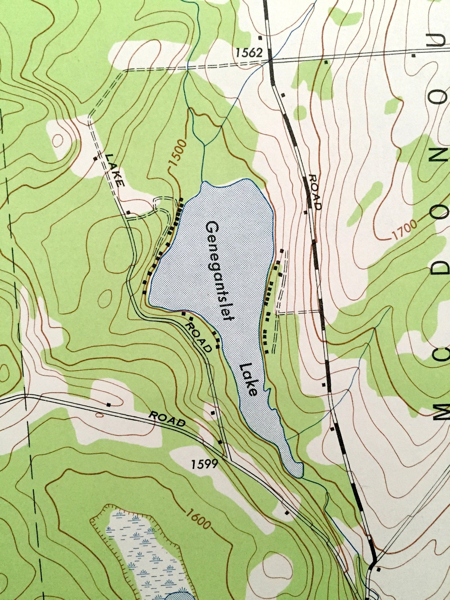
See what New York looked like over 70 years ago. Lots of intricate details and geological contours. Map even has little squares for every house that existed at the time. The USGS cartographers were very thorough back then!
Perfect for the historian, map-lover, the curious or just as a conversation starter. Wonderful and rare. Vintage maps such as these make great gifts.
Edition of 1944, printed 1944
Dimensions: 22" width x 27" height
----
Features
Cities & Towns: Pitcher, North Pitcher, Pitcher Springs, Pharsalia, McDonough, German, German Five Corners, Cincinnatus.
Points of Interest: Otselic River, Pink Hill, Oak Hill, Brakel Creek, Burdick Hill, Balsam Creek, Genegantslet Lake, and many more hills, streams, ponds, houses, schools, churches and roads.
Condition: Very Good condition, commensurate with age. This map is in incredible shape for being over 70 years old. Has some fold marks, but this will read as vintage character when framed.
----
We will happily adjust shipping price for multiple purchases. Maps are rolled up and shipped in sturdy mailing tubes, never folded.
Couldn't load pickup availability
Share