My Store
Antique Plainfield, Massachusetts 1948 US Geological Survey Topographic Map – Savoy, Hawley, Charlemont, Kings Corner, Windsor Pond, MA
Antique Plainfield, Massachusetts 1948 US Geological Survey Topographic Map – Savoy, Hawley, Charlemont, Kings Corner, Windsor Pond, MA
Beautiful, antique map of Hawley, Plainfield, Windsor and Savoy, Massachusetts. This is an authentic 1948 print from the U.S. Geological Survey and NOT a computer reproduction.
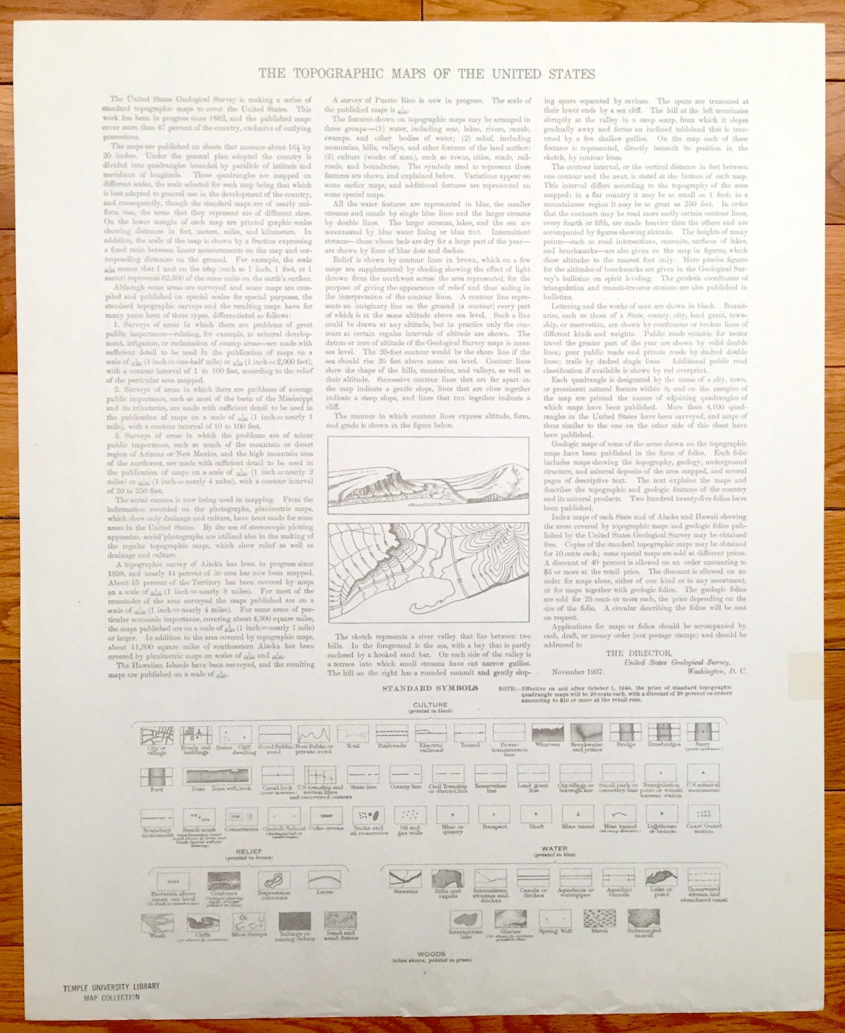
See what the Franklin, Hampshire and Berkshire Counties of Massachusetts looked like almost 70 years ago. Lots of intricate details and geological contours. Map even has little squares for every house that existed at the time. The USGS cartographers were very thorough back then! On the back is a description of topographic symbols and map guide.
Perfect for the historian, map-lover, the curious or just as a conversation starter. Wonderful and rare. Vintage maps such as these make great gifts.
Edition of 1948, printed 1948
Dimensions: 17" width x 21" height
----
Features
Cities & Towns: Savoy, Hawley, Plainfield, Windsor, Windsor Jambs, Kings Corner, West Hawley, South Hawley, Brier.
Points of Interest: Brier School, School No. 7, Windsor Pond, Crooked Pond, Plainfield Pond, West Mountain, Warner Hill, Bozzrah School, Forge Hill, Chickley River, Hawks Mountain, and lots more hills, mountains, streams, ponds, houses, schools and roads.
Condition: Very Good condition, commensurate with age. This map is in incredible shape for being almost 70 years old.
----
We will happily adjust shipping price for multiple purchases. Maps are rolled up and shipped in sturdy mailing tubes, never folded.
Couldn't load pickup availability
Share