My Store
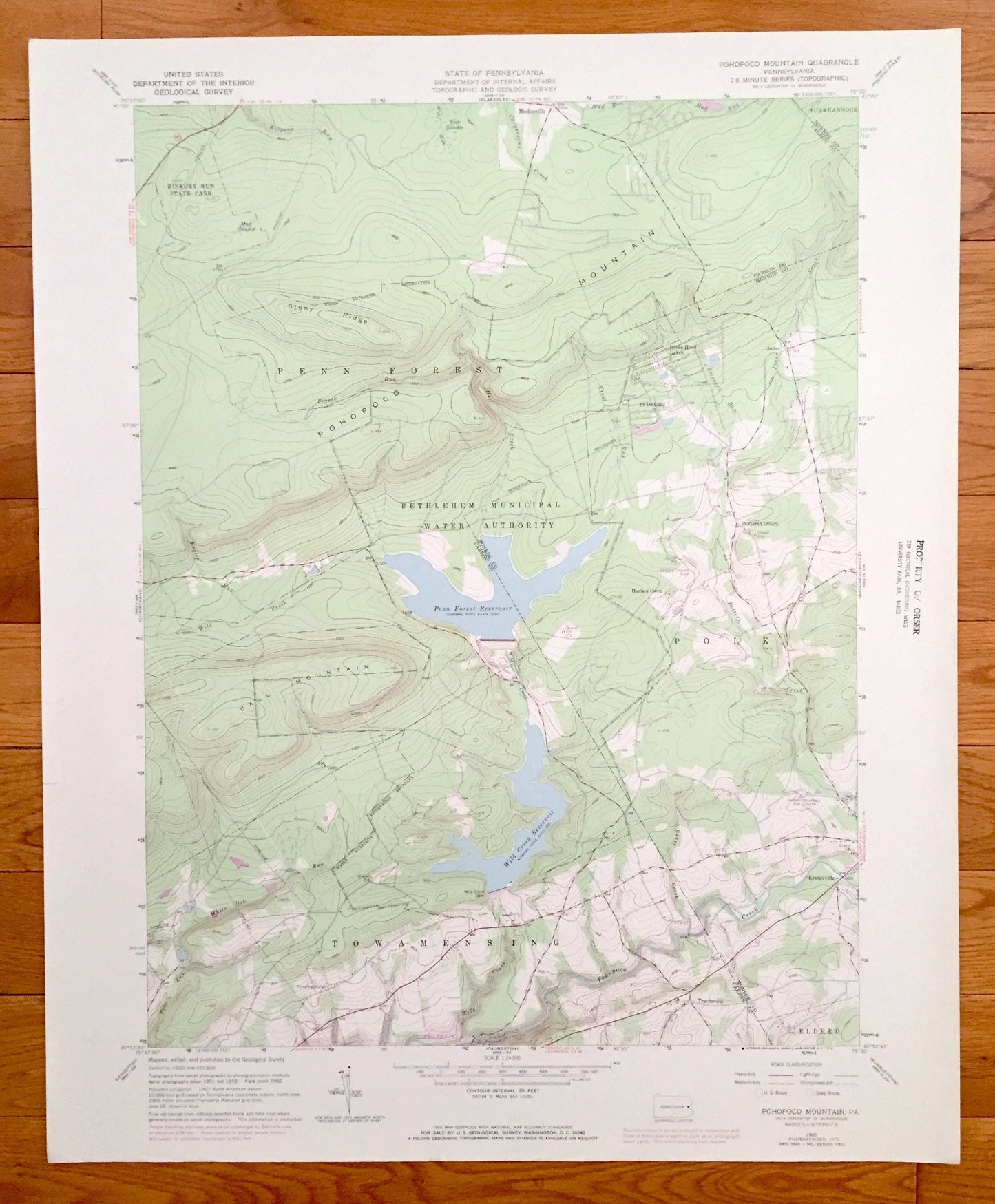
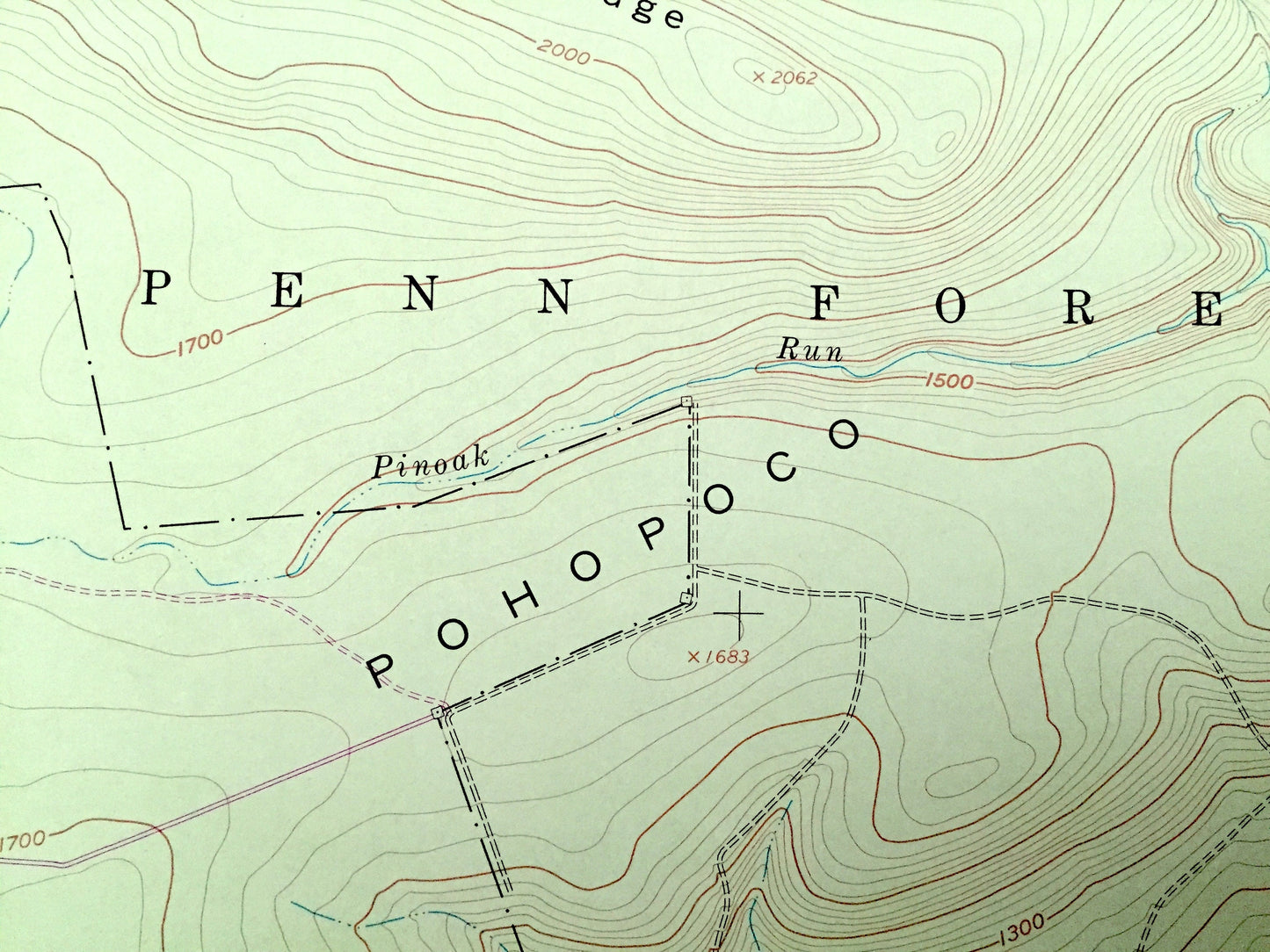
Antique Pohopoco Mountain, Pennsylvania 1960 US Geological Survey Topographic Map – Carbon, Monroe County, Penn Forest, Polk, Jonas, PA
Antique Pohopoco Mountain, Pennsylvania 1960 US Geological Survey Topographic Map – Carbon, Monroe County, Penn Forest, Polk, Jonas, PA
Beautiful, antique map of Pohopoco Mountain, Pennsylvania and surrounding Carbon County & Monroe County area. This is an authentic 1960 edition, 1970 print from the U.S. Geological Survey and NOT a computer reproduction.
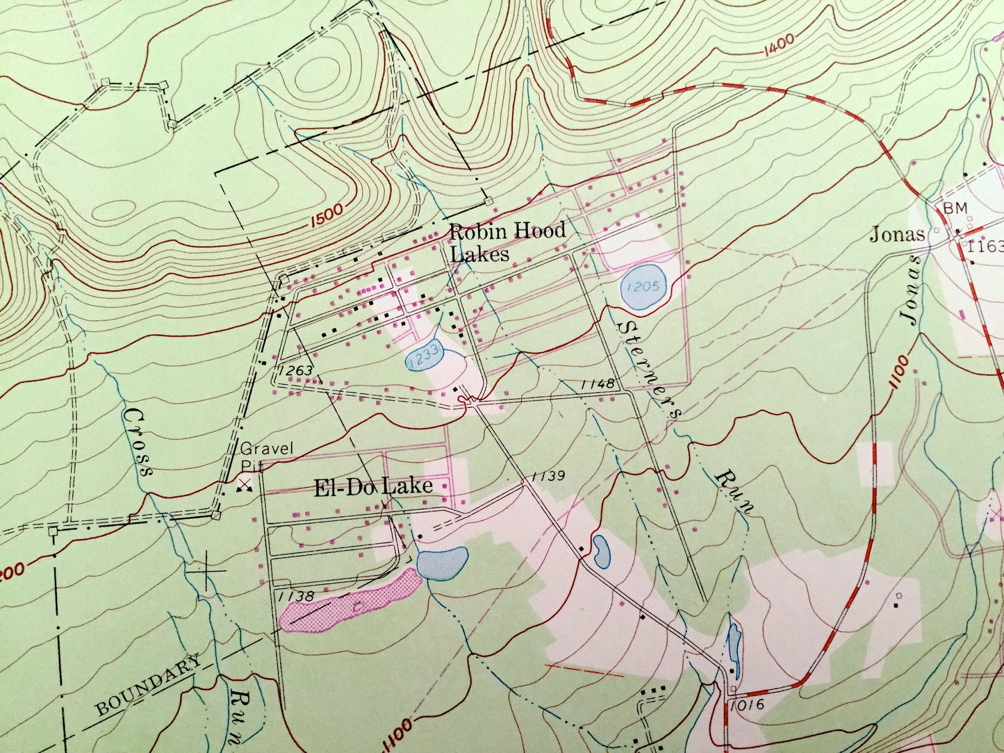
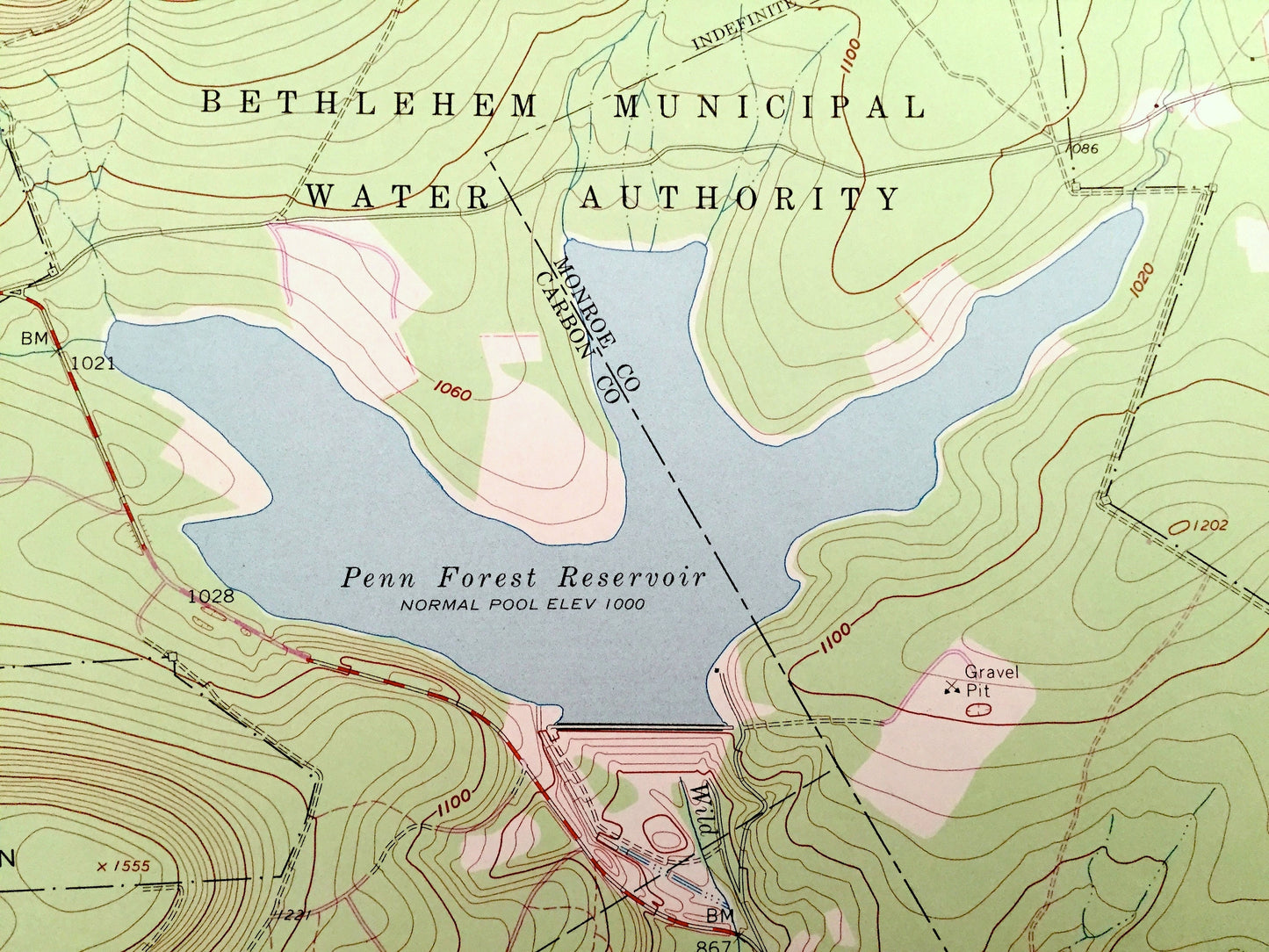
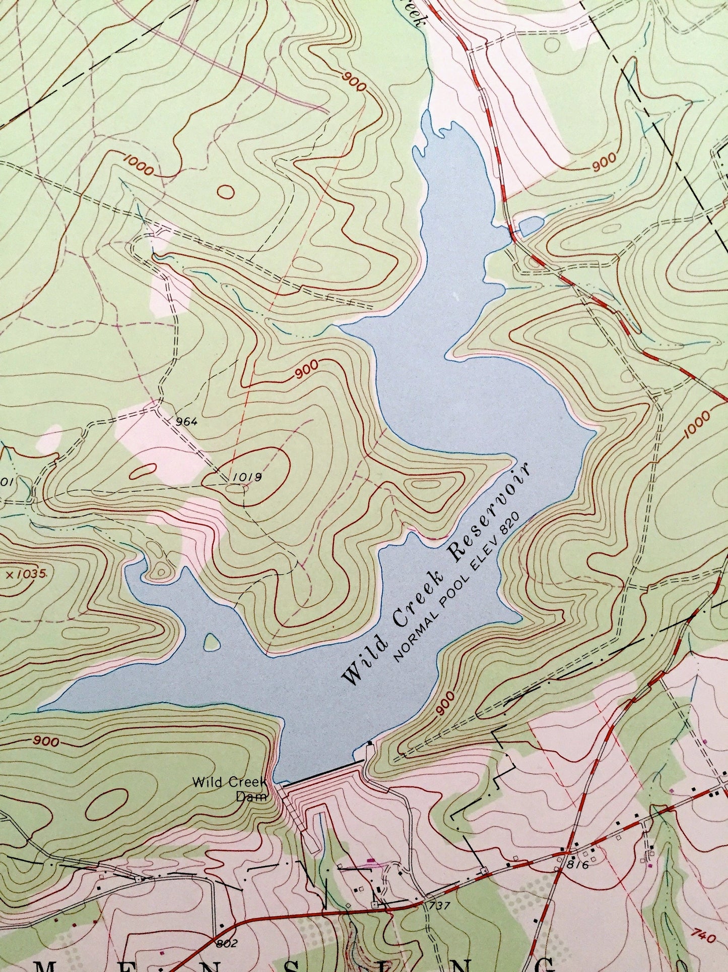
See what Pennsylvania looked like over 60 years ago. Lots of intricate details and geological contours. Map even has little squares for every house that existed at the time. The USGS cartographers were very thorough back then!
Perfect for the historian, map-lover, the curious or just as a conversation starter. Wonderful and rare. Vintage maps such as these make great gifts.
Edition of 1960, printed 1970
Dimensions: 22" width x 27" height
----
Features
Cities & Towns: El-Do Lake, Robin Hood Lakes, Jonas, Dotters Corners, Kresgeville, Trachsville, Meckesville, Penn Forest, Polk, Towamensing, Eldred.
Points of Interest: Pohopoco Mountain, Stony Ridge, Hickory Run State Park, Yost Swamp, Mud Swamp, Penn Forest Reservoir, Bethlehem Municipal Water Authority, Wild Creek Reservoir, Call Mountain, Wild Creek, Harlam Camp, Indiane Mountain Golf Course, Pohopoco Creek, Beltzville Lake, and many more hills, streams, ponds, houses, schools, churches and roads.
Condition: Very Good Vintage condition, commensurate with age. This map is in great shape for being over 50 years old.
----
We will happily adjust shipping price for multiple purchases. Maps are rolled up and shipped in sturdy mailing tubes, never folded.
Couldn't load pickup availability
Share