My Store
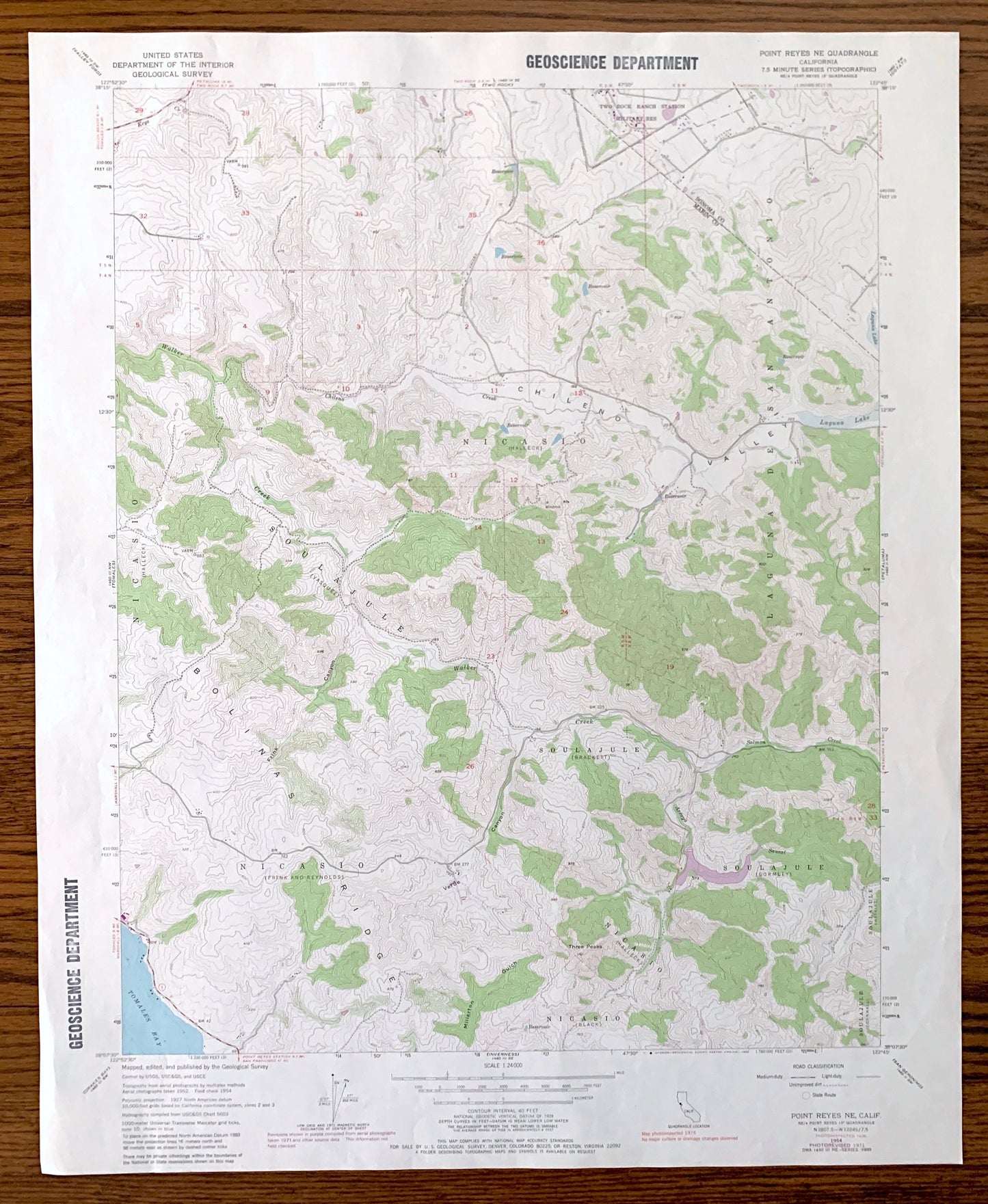
Antique Point Reyes NE, California 1954 US Geological Survey Topographic Map – Sonoma, Marin County, Nicasio, Laguna De San Antonio, CA
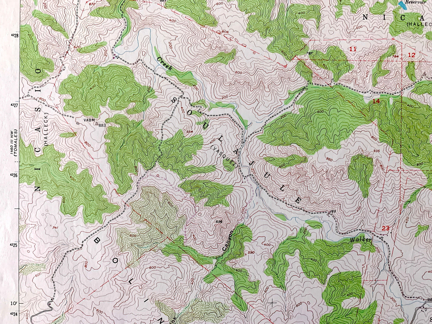
Antique Point Reyes NE, California 1954 US Geological Survey Topographic Map – Sonoma, Marin County, Nicasio, Laguna De San Antonio, CA
Beautiful, antique map of Point Reyes NE, California and surrounding Sonoma County & Marin County areas. This is an authentic 1954 edition, 1980 print from the U.S. Geological Survey and NOT a computer reproduction.
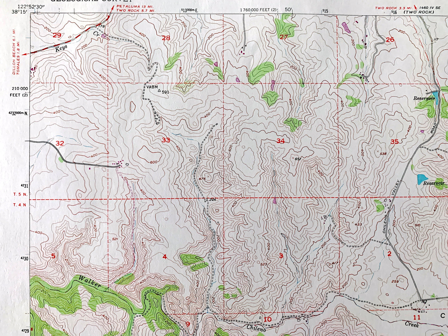
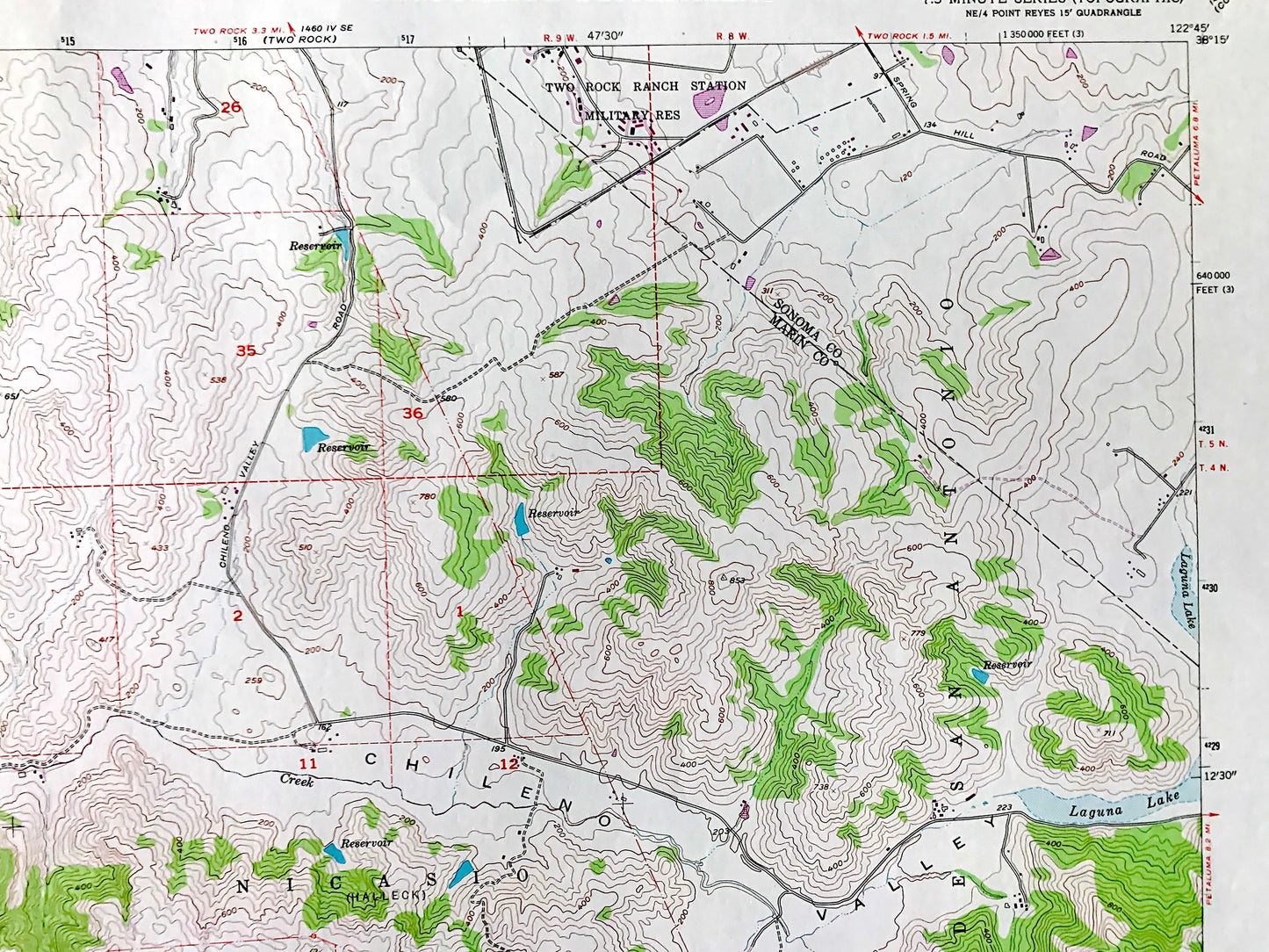
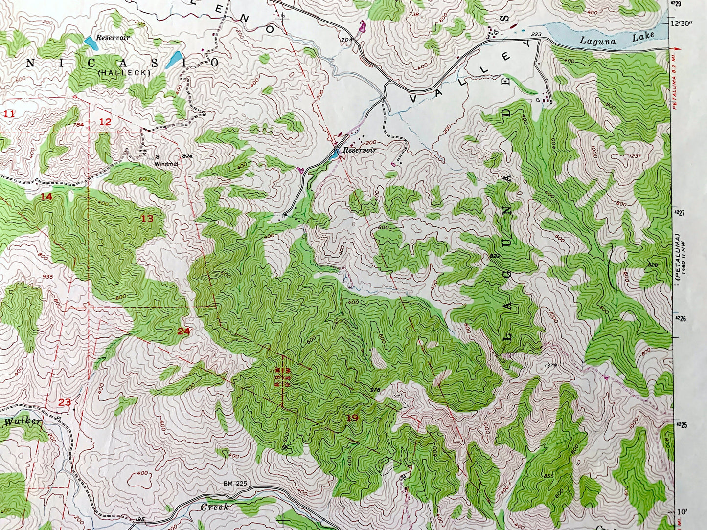
See what California looked like over 65 years ago. Lots of intricate details and geological contours. Map even has little squares for every house that existed at the time. The USGS cartographers were very thorough back then!
Perfect for the historian, map-lover, the curious or just as a conversation starter. Wonderful and rare. Vintage maps such as these make great gifts.
Edition of 1954, printed 1980
Dimensions: 22" width x 27" height
----
Features
Cities & Towns: Nicasio, Laguna De San Antonio, Soulajule.
Points of Interest: Two Rock Ranch Station Military Reservation, Chileno Valley, Laguna Lake, Tomales Bay, Millerton Gulch, Three Peaks, Chileno Creek, Walker Creek, Salmon Creek, Keys Creek, and many more hills, streams, ponds, houses, schools, railroads, churches and roads.
Condition: Very Good Vintage condition, commensurate with age. This map is in great shape for being over 40 years old. Has light edge-wear but this will read as character when framed.
----
We will happily adjust shipping price for multiple purchases. Maps are rolled up and shipped in sturdy mailing tubes, never folded.
Couldn't load pickup availability
Share