My Store
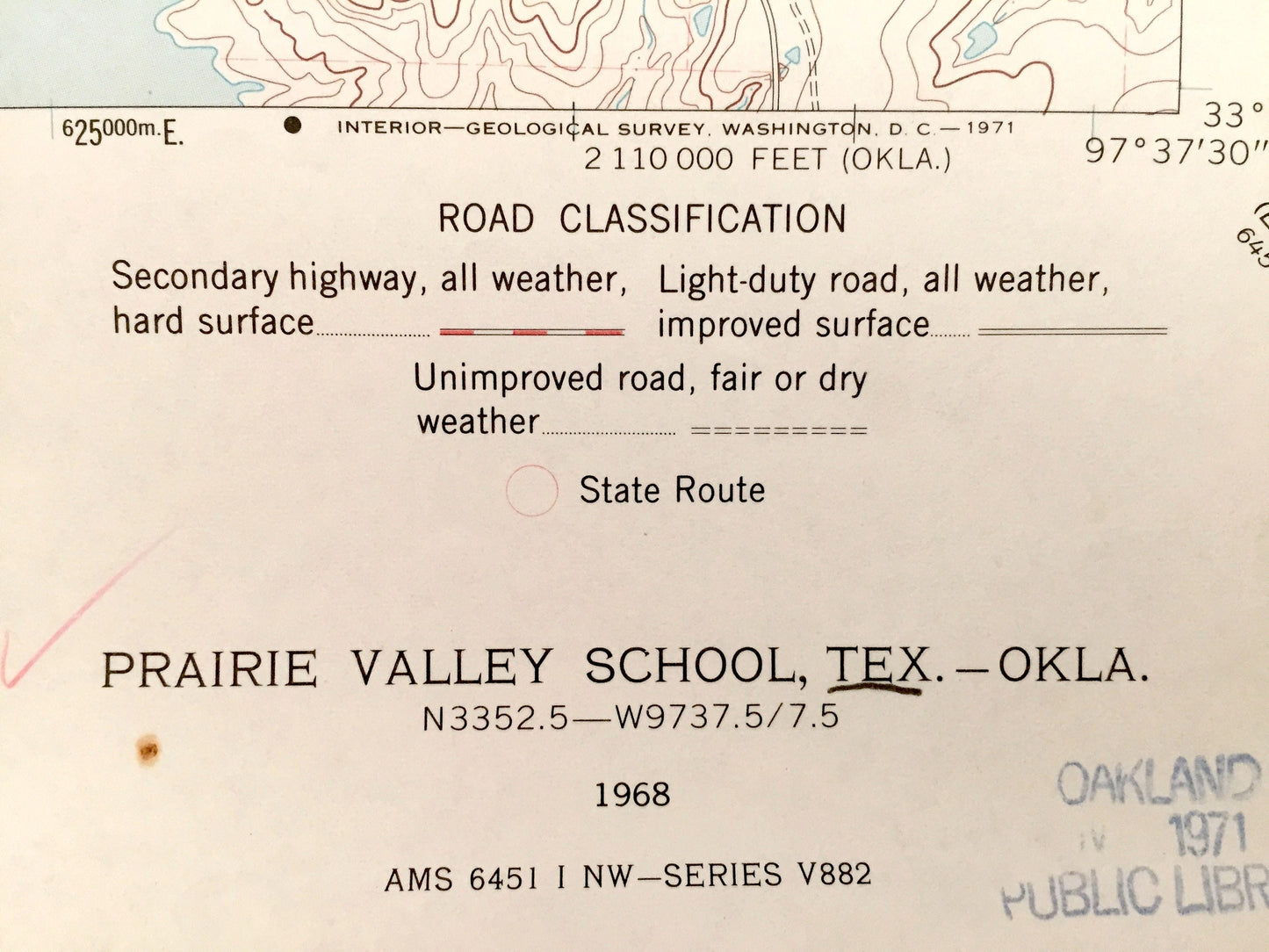
Antique Prairie Valley School, Texas & Brown, Oklahoma 1968 US Geological Survey Topographic Map – Lake Nocona, Red River Rowland,Hynds City
Antique Prairie Valley School, Texas & Brown, Oklahoma 1968 US Geological Survey Topographic Map – Lake Nocona, Red River Rowland,Hynds City
Beautiful, antique map of Hynds City, and Rowland, Texas as well as Brown, Oklahoma. This is an authentic 1968 print from the U.S. Geological Survey and NOT a computer reproduction.
See what Montague County of Texas and Jefferson County of Oklahoma looked like almost 50 years ago. Lots of intricate details and geological contours. Map even has little squares for every house that existed at the time. The USGS cartographers were very thorough back then!
Perfect for the historian, map-lover, the curious or just as a conversation starter. Wonderful and rare. Vintage maps such as this make great gifts.
Edition of 1968, printed 1968
Dimensions: 22" width x 27" height
----
Features
Cities & Towns: TEXAS: Hynds City, Rowland, Valley View. OKLAHOMA: Brown.
Points of Interest: Red River, Oscar Oil Field, Nocona North Spanish Fort, Lake Nocona, Regional Oil Wells, Wolf Hollow, Spanish Fort Cemeteries, Prairie Valley School, and many more roads, rivers, and houses.
Condition: Good condition, commensurate with age. This map is in incredible shape for being over 60 years old.
----
We will happily adjust shipping price for multiple purchases. Maps are rolled up and shipped in sturdy mailing tubes, never folded.
Couldn't load pickup availability
Share