My Store
Antique Punta Tuna, Puerto Rico 1945 US Geological Survey Topographic Map – Mar Caribe, Maunabo, Patillas, San Isidro, Punta Viento Hueca PR
Antique Punta Tuna, Puerto Rico 1945 US Geological Survey Topographic Map – Mar Caribe, Maunabo, Patillas, San Isidro, Punta Viento Hueca PR
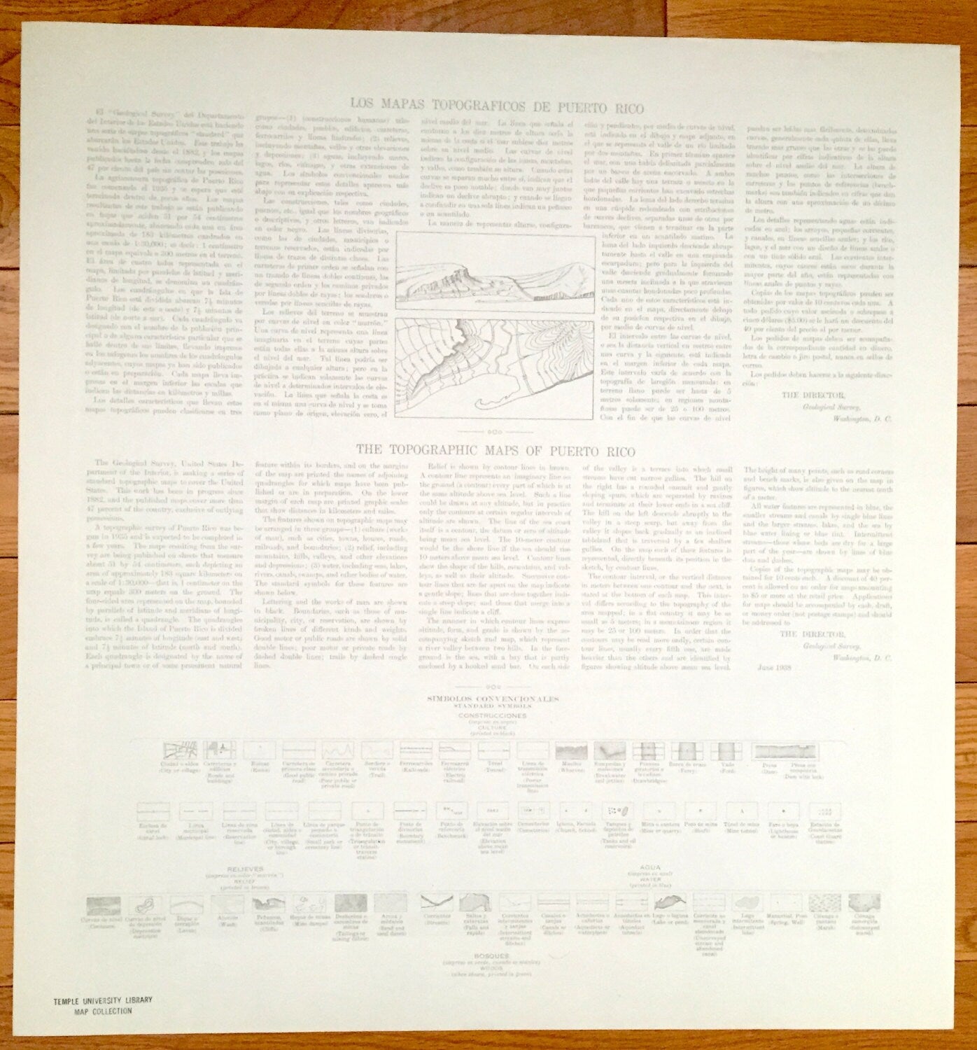
Beautiful, antique map of Punta Tuna, Puerto Rico and surrounding municipalities. This is an authentic 1945 print from the U.S. Geological Survey and NOT a computer reproduction.
See what the southeastern coast of Puerto Rico looked like more than 75 years ago. Lots of intricate details and geological contours. Map even has little squares for every house that existed at the time. The USGS cartographers were very thorough back then! On the back is a description of topographic symbols and map guide in both English and Spanish.
Perfect for the historian, map-lover, the curious or just as a conversation starter. Wonderful and rare. Maps such as these make great gifts.
Edition of 1945, printed 1945
Dimensions: 20" width x 21" height
----
Features
Cities, Towns & Municipios: Municipio De Maunabo, Municipio De Papillas, Hacienda San Isidro, Puerto Maunabo.
Points of Interest: Caribbean Sea, Mar Caribe, Cerro Piedra Hueca, Rio Jacaboa, Sierra de Guardarraya, Rio Maunabo, Punta Tuna Faro, Cabo Mala Pascua, Escuela Segunda Unidad de Guardarray and many more roads, railroads, houses, hills, valleys, mountains and rivers.
Condition: Very Good Vintage condition, commensurate with age. This map is in great shape for being over 75 years old.
----
We will happily adjust shipping price for multiple purchases. Maps are rolled up and shipped in sturdy mailing tubes, never folded.
Couldn't load pickup availability
Share