My Store
Antique Punta Verraco, Puerto Rico 1946 US Geological Survey Topographic Map - Guanica, Yauco, Guayanilla, Campamento Boriquen, Lluveras
Antique Punta Verraco, Puerto Rico 1946 US Geological Survey Topographic Map - Guanica, Yauco, Guayanilla, Campamento Boriquen, Lluveras
Beautiful, antique map of Punta Verraco, Puerto Rico and surrounding municipalities. This is an authentic 1946 print from the U.S. Geological Survey and NOT a computer reproduction.
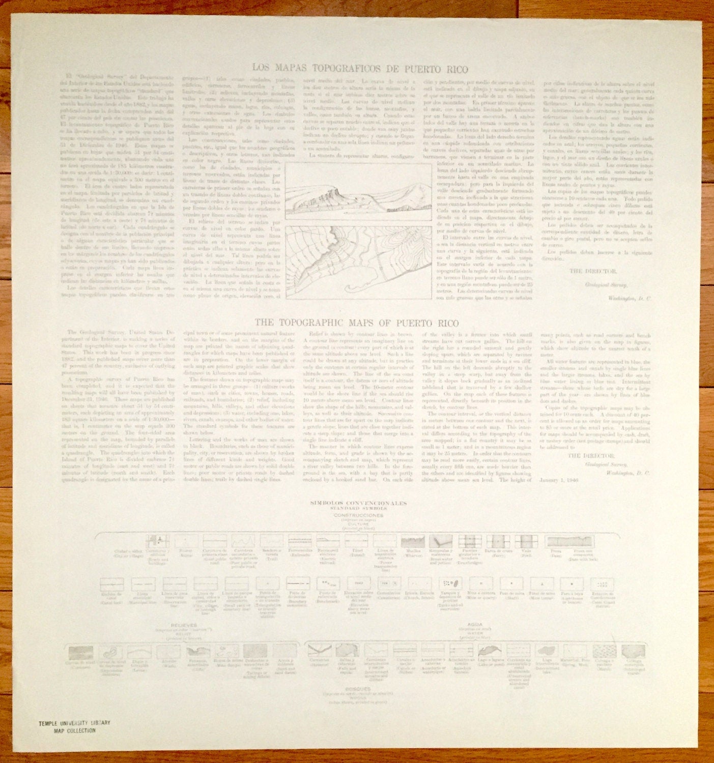
See what the southern coast of Puerto Rico, just west of Ponce, looked like more than 70 years ago. Lots of intricate details and geological contours. Map even has little squares for every house that existed at the time. The USGS cartographers were very thorough back then! On the back is a description of topographic symbols and map guide in both English and Spanish.
Perfect for the historian, map-lover, the curious or just as a conversation starter. Wonderful and rare. Maps such as these make great gifts.
Edition of 1946, printed 1946
Dimensions: 20" width x 21" height
----
Features
Cities, Towns & Municipios: Municipio De Guanica, Municipio De Yauco, Municipio De Guayanilla, Campamento Boriquen, Parada Lluveras.
Points of Interest: Caribbean Sea, Mar Caribe, Bosque Insular De Guanica Yauco Guayanilla, Cayos de Caña Gorda, Puerto de Guyanilla, Punta Verraco, Guayanilla Bay, Punta Guayanilla, American Railroad and many more roads, railroads, houses, hills, valleys, mountains and rivers.
Condition: Very Good condition, commensurate with age. This map is in incredible shape for being over 70 years old.
----
We will happily adjust shipping price for multiple purchases. Maps are rolled up and shipped in sturdy mailing tubes, never folded.
Couldn't load pickup availability
Share