My Store
Antique Putnam, Connecticut 1945 US Geological Survey Topographic Map – Pomfret, Thompson, Woodstock, Grosvenor Dale, Wappaquassett, CT
Antique Putnam, Connecticut 1945 US Geological Survey Topographic Map – Pomfret, Thompson, Woodstock, Grosvenor Dale, Wappaquassett, CT
Beautiful, antique map of Putnam, Connecticut and surrounding Windham County area. This is an authentic 1945 print from the U.S. Geological Survey and NOT a computer reproduction.
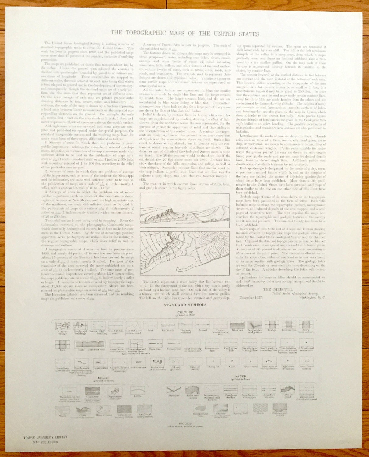
See what Putnam and looked like over 75 years ago. Lots of intricate details and geological contours. Map even has little squares for every house that existed at the time. The USGS cartographers were very thorough back then! On the back is a description of topographic symbols and map guide.
Perfect for the historian, map-lover, the curious or just as a conversation starter. Wonderful and rare. Vintage maps such as these make great gifts.
Edition of 1945, printed 1945
Dimensions: 17" width x 21" height
----
Features
Cities & Towns: North Woodstock, East Woodstock, Woodstock, South Woodstock, Pomfret, Killingly, Putnam, Harrisville, Mechanicsville, Grosvenordale, North Grosvenordale, West Thompson, Thompson, Pomfret Center.
Points of Interest: Greek Orthodox Theoloigical School (now Hellenic College), Annhurst College, Putnam Landing Field, Putnam Academy, Woodstock Pond, Wappaquassett Pond, Quinebaug River, French River, Bull Hill, Chandlers Hill and lots more hills, mountains, creeks, towns, schools, and roads.
Condition: Very Good Vintage condition, commensurate with age. This map is in great shape for being over 75 years old.
----
We will happily adjust shipping price for multiple purchases. Maps are rolled up and shipped in sturdy mailing tubes, never folded.
Couldn't load pickup availability
Share