My Store
Antique Puyallup, Washington 1961 US Geological Survey Topographic Map – Fife, Milton, Sumner, Edgewood, Pierce County, Indian Reservation
Antique Puyallup, Washington 1961 US Geological Survey Topographic Map – Fife, Milton, Sumner, Edgewood, Pierce County, Indian Reservation
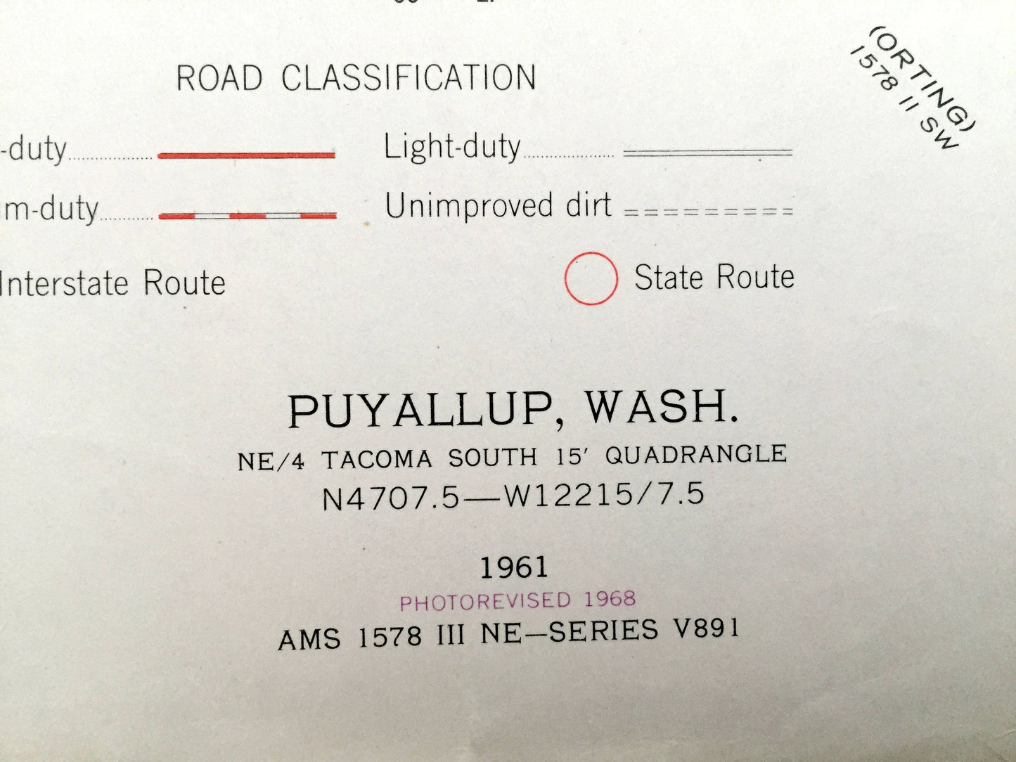
Beautiful, antique map of Puyallup, Washington and surrounding Pierce County area on the Puyallup River. This is an authentic 1961 edition, 1968 print from the U.S. Geological Survey and NOT a computer reproduction.
See what Washington State looked like almost 60 years ago. Lots of intricate details and geological contours. Map even has little squares for every house that existed at the time. The USGS cartographers were very thorough back then!
Perfect for the historian, map-lover, the curious or just as a conversation starter. Wonderful and rare. Vintage maps such as these make great gifts.
Edition of 1961 printed 1968
Dimensions: 22" width x 27" height
----
Features
Cities & Towns: Fife, Milton, North Puyallup, Hughes Siding, Sumner, Edgewood, Puyallup, Summit.
Points of Interest: Pierce County, White River, Puyallup River, Wapato Creek, Surprise Lake, McMillin Reservoir, Maplewood Spring, Wildwood Park, Puyallup Indian Reservation Boundary Lines, State Fish Hatchery, Chicago Milwaukee & ST. Paul Railroad and lots more hills, rivers, creeks, ponds, towns, schools, roads and train tracks.
Condition: Very Good condition, commensurate with age. This map is in incredible shape for being 50 years old. Some edge-wear and a fold as issued, all of which will read as vintage character when framed.
----
We will happily adjust shipping price for multiple purchases. Maps are rolled up and shipped in sturdy mailing tubes, never folded.
Couldn't load pickup availability
Share