My Store
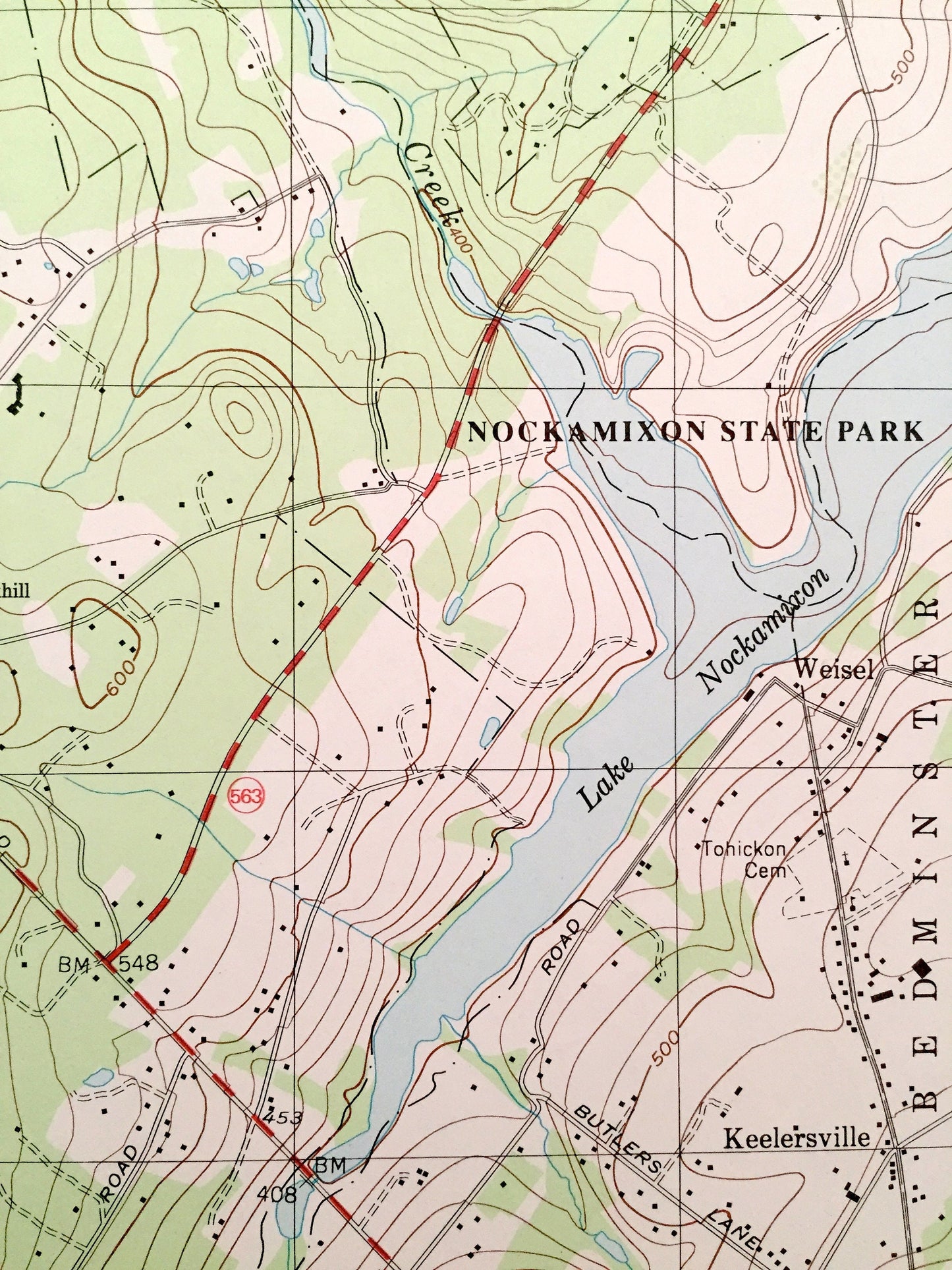
Antique Quakertown, Pennsylvania 1999 US Geological Survey Topographic Map – Bucks County Perkasie Applebachsville East Rockhill Richland PA
Antique Quakertown, Pennsylvania 1999 US Geological Survey Topographic Map – Bucks County Perkasie Applebachsville East Rockhill Richland PA
Beautiful, antique map of Quakertown, Pennsylvania and surrounding Bucks County area. This is an authentic 1999 edition, 1999 print from the U.S. Geological Survey and NOT a computer reproduction.
See what Pennsylvania looked like over 20 years ago. Lots of intricate details and geological contours. Map even has little squares for every house that existed at the time. The USGS cartographers were very thorough back then!
Perfect for the historian, map-lover, the curious or just as a conversation starter. Wonderful and rare. Vintage maps such as these make great gifts.
Edition of 1999, printed 1999
Dimensions: 22" width x 27" height
----
Features
Cities & Towns: Quakertown, Paletown, Trumbauersville, Rocky Ridge, Smoketown, Rich Hill, Perkasie, West Rockhill, East Rockhill, Hilltown, Richland Center, Hagersville, Keelersville, Richland, Richlandtown, Louxs Corner, Strawntown, Applebachsville, Haycock, Springfield, California, Shelly.
Points of Interest: Lake Nockamixon, Nockamixon State Park, Covered Bridges, State Game Lands, Rock Hill, Pennridge Airport, Lake Towhee, Lake Towhee County Park, Morgan Creek, Tohickon Creek, and many more hills, streams, ponds, houses, schools, churches and roads.
Condition: Very Good condition, commensurate with age. This map is in incredible shape for being over 20 years old.
----
We will happily adjust shipping price for multiple purchases. Maps are rolled up and shipped in sturdy mailing tubes, never folded.
Couldn't load pickup availability
Share