My Store
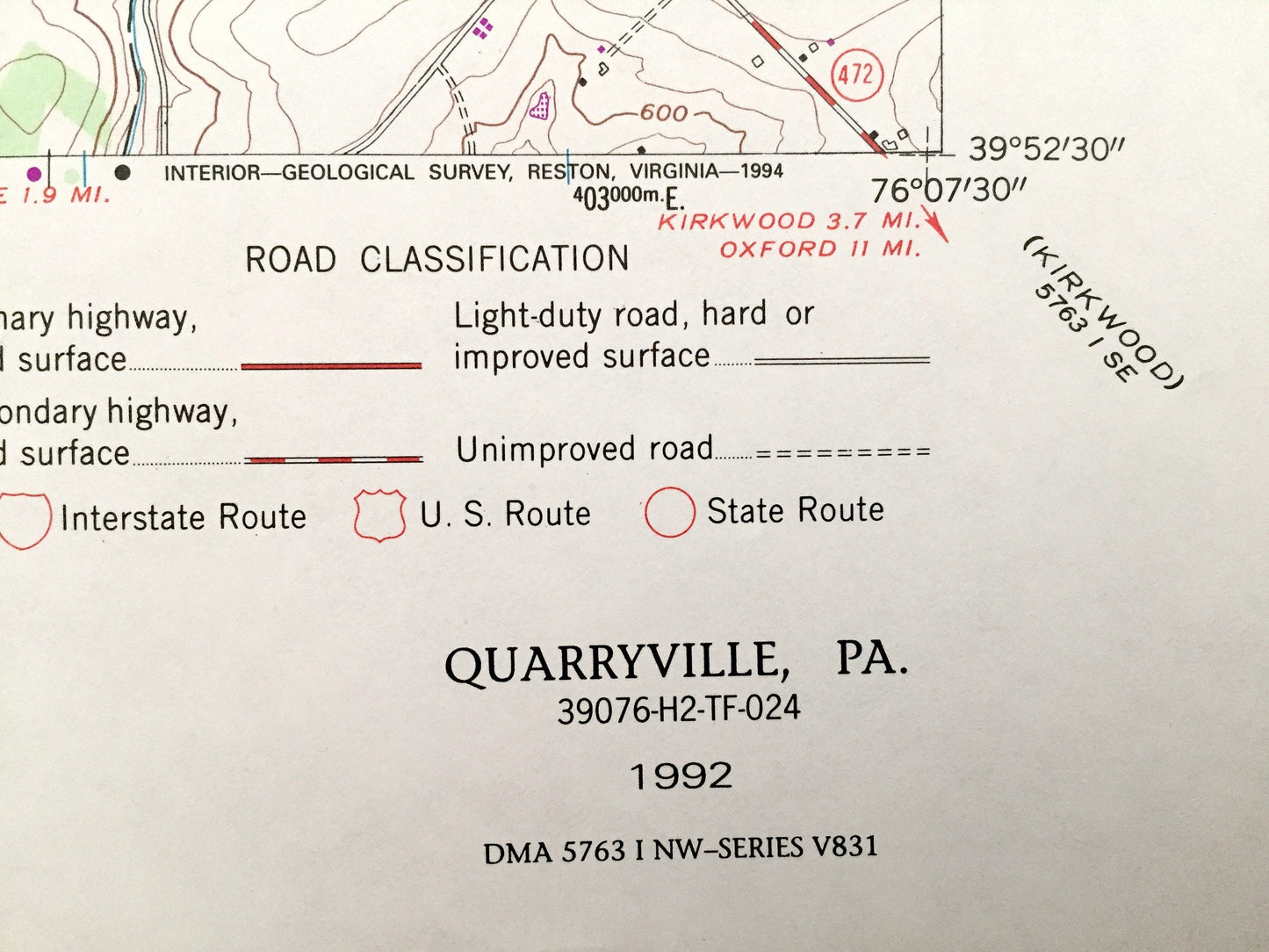
Antique Quarryville, Pennsylvania 1992 US Geological Survey Topographic Map – Lancaster County, New Providence Strasburg Lampeter Camargo PA
Antique Quarryville, Pennsylvania 1992 US Geological Survey Topographic Map – Lancaster County, New Providence Strasburg Lampeter Camargo PA
Beautiful, antique map of Quarryville, Pennsylvania and surrounding Lancaster County area. This is an authentic 1992 edition, 1992 print from the U.S. Geological Survey and NOT a computer reproduction.
See what Pennsylvania looked like over 25 years ago. Lots of intricate details and geological contours. Map even has little squares for every house that existed at the time. The USGS cartographers were very thorough back then!
Perfect for the historian, map-lover, the curious or just as a conversation starter. Wonderful and rare. Vintage maps such as these make great gifts.
Edition of 1992, printed 1992
Dimensions: 22" width x 27" height
----
Features
Cities & Towns: Quarryville, Collins, Truce, Smithville, New Providence, Camargo, Hawksville, Hessdale, Refton, Lime Valley, Lampeter, Strasburg, Providence, East Drumore, Colerain, Eden, Paradise, West Lampeter.
Points of Interest: Big Beaver Creek, Stony Hill, Mine Ridge, Oak Hill, Bunker Hill, Pequea Creek, Little Beaver Creek, Strasburg Reservoir, Walnut Run, and many more hills, streams, ponds, houses, schools, churches and roads.
Condition: Very Good condition, commensurate with age. This map is in incredible shape for being over 25 years old.
----
We will happily adjust shipping price for multiple purchases. Maps are rolled up and shipped in sturdy mailing tubes, never folded.
Couldn't load pickup availability
Share