My Store
Antique Rancho Santa Fe, California 1949 US Geological Survey Topographic Map – San Diego County, San Dieguito, Los Encenitos, Harmony Grove
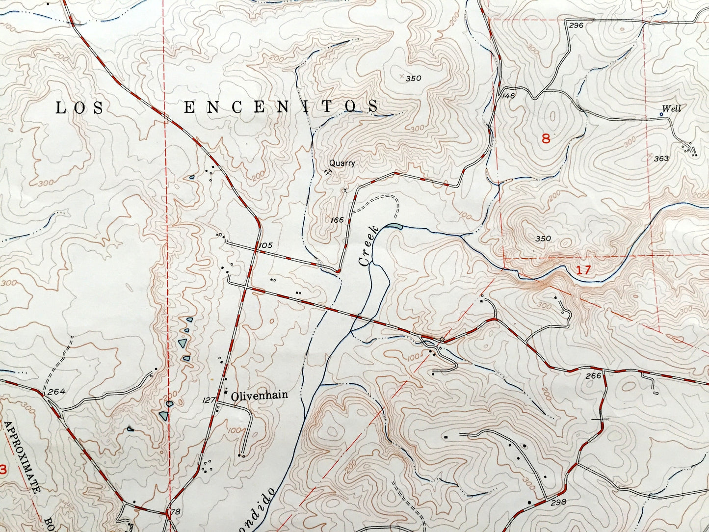
Antique Rancho Santa Fe, California 1949 US Geological Survey Topographic Map – San Diego County, San Dieguito, Los Encenitos, Harmony Grove
Beautiful, antique map of Rancho Santa Fe, California and surrounding San Diego County area. This is an authentic 1949 print from the U.S. Geological Survey and NOT a computer reproduction.
See what California looked like over 70 years ago, before lots of modern development in the area. Lots of intricate details and geological contours. Map even has little squares for every house that existed at the time. The USGS cartographers were very thorough back then! On the back is a description of topographic symbols and map guide.
Perfect for the historian, map-lover, the curious or just as a conversation starter. Wonderful and rare. Vintage maps such as these make great gifts.
Edition of 1949, printed 1949
Dimensions: 23" width x 28" height
----
Features
Cities & Towns: Rancho Santa Fe, San Dieguito, Los Encenitos, Harmony Grove, Olivenhain, Lake San Marcos.
Points of Interest: San Diego County, San Elijo Lagoon, Osuna Valley, San Dieguito River, La Jolla Valley, Vallecitos, Rancho de los Quiotes, Cero de las Posas, Franks Peak, Mt. Whitney, Vallecitos, San Elijo Canyon, Escondido Creek and lots more creeks, lakes, parks, roads, peaks and trails.
Condition: Good Vintage condition, commensurate with age. This map is in great shape for being over 70 years old. Has some wear, edge-wear and toning, all of which will add to character when framed.
----
We will happily adjust shipping price for multiple purchases. Maps are rolled up and shipped in sturdy mailing tubes, never folded.
Couldn't load pickup availability
Share