My Store
Antique Raymond, Colorado 1957 US Geological Survey Topographic Map – Boulder County, Riverside, Peaceful Valley, Gresham, Balarat, CO
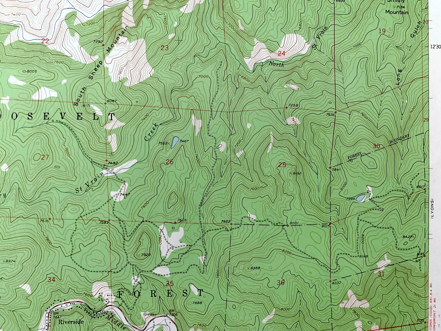
Antique Raymond, Colorado 1957 US Geological Survey Topographic Map – Boulder County, Riverside, Peaceful Valley, Gresham, Balarat, CO
Beautiful, antique map of Raymond, Colorado and surrounding Boulder County area. This is an authentic 1957 edition, 1962 print from the U.S. Geological Survey and NOT a computer reproduction.
See what Colorado looked like over 65 years ago. Lots of intricate details and geological contours. Map even has little squares for every house that existed at the time. The USGS cartographers were very thorough back then!
Perfect for the historian, map-lover, the curious or just as a conversation starter. Wonderful and rare. Vintage maps such as these make great gifts.
Edition of 1957, printed 1962
Dimensions: 22" width x 27" height
----
Features
Cities & Towns: Riverside, Peaceful Valley, Gresham, Balarat.
Points of Interest: Roosevelt National Forest, Johnny Park, Mullen Park, Big Elk Park, North Sheep Mountain, Smithy Mountain, Taylor Mountain, Big John Mountain, Bald Mountain, Cannon Mountain, Deer Ridge, Rattlesnake Gulch, Coulson Gulch, Overland Mountain, Cabin Creek, St Vrain Creek, Park Creek, Cave Creek, Little James Creek, and many more hills, streams, ponds, houses, schools, railroads, churches and roads.
Condition: Very Good Vintage condition, commensurate with age. This map is in great shape for being over 60 years old. Has light edge-wear and a faded stamp on the front but will read as character when framed.
----
We will happily adjust shipping price for multiple purchases. Maps are rolled up and shipped in sturdy mailing tubes, never folded.
Couldn't load pickup availability
Share