My Store
Antique Richland, Pennsylvania 1955 US Geological Survey Topographic Map – Lebanon, Lancaster County, Jackson, Heidelberg, Myerstown
Antique Richland, Pennsylvania 1955 US Geological Survey Topographic Map – Lebanon, Lancaster County, Jackson, Heidelberg, Myerstown
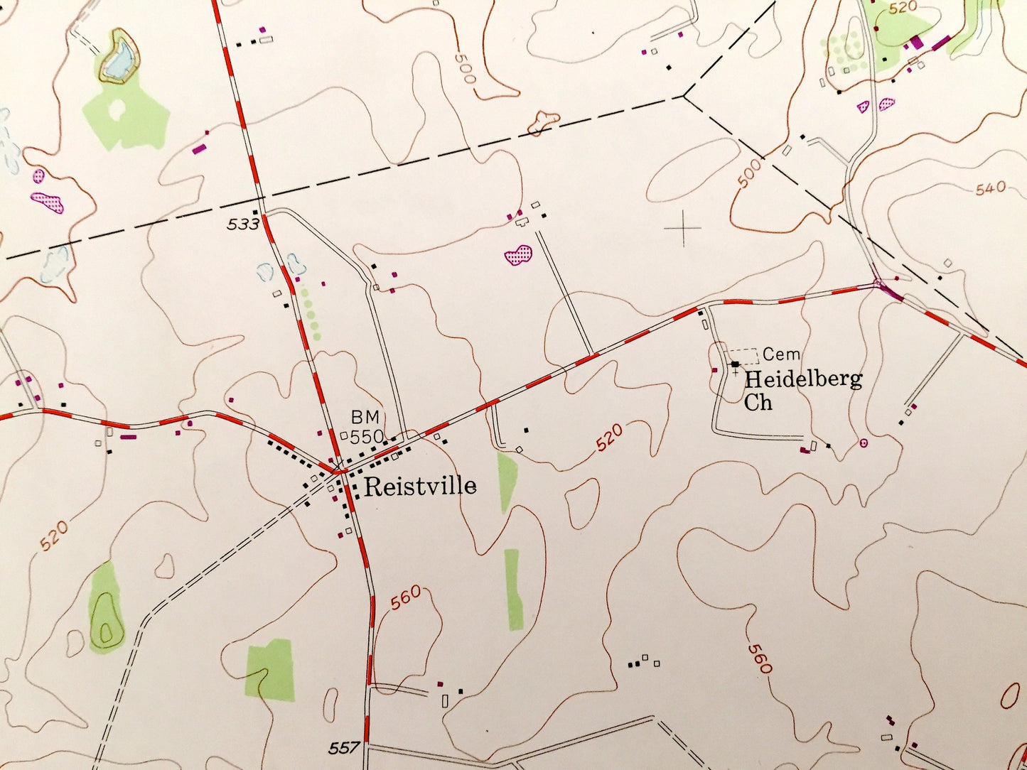
Beautiful, antique map of Richland, Pennsylvania and surrounding Lebanon County and Lancaster County areas. This is an authentic 1955 edition, 1974 print from the U.S. Geological Survey and NOT a computer reproduction.
See what Pennsylvania looked like over 60 years ago. Lots of intricate details and geological contours. Map even has little squares for every house that existed at the time. The USGS cartographers were very thorough back then!
Perfect for the historian, map-lover, the curious or just as a conversation starter. Wonderful and rare. Vintage maps such as these make great gifts.
Edition of 1955, printed 1974
Dimensions: 22" width x 27" height
----
Features
Cities & Towns: Richland, Clay, Elizabeth, Cornwall, Johnstown, Buffalo Springs, South Lebanon, North Lebanon, Springhaven, Canaan Grove, Moonstown, Avon Heights, Kleinfeltersville, Schaefferstown, Flintville, Iona, Prescott, Myerstown, West Myerstown, Reistville, Weavertown.
Points of Interest: Lebanon County, Lancaster County, Furnace Hills, White Oak Hill, Cannon Hill, Black Oak Ridge, Forge Hill, Walnut Run, Lebanon Reservoir, Tolpehocken Creek, Middle Creek and many more hills, streams, ponds, houses, schools, churches and roads.
Condition: Very Good condition, commensurate with age. This map is in incredible shape for being over 45 years old. Has some light edge-wear, tears and a stamp, all of which will read as vintage character when framed. The print also has a piece missing on the ride side, but this is easily-concealed by placing similar-colored paper behind the map, as in the photos.
----
We will happily adjust shipping price for multiple purchases. Maps are rolled up and shipped in sturdy mailing tubes, never folded.
Couldn't load pickup availability
Share