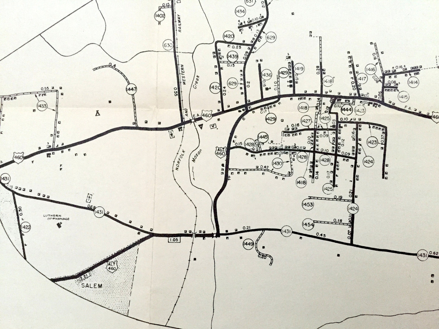
Beautiful, antique map of Roanoke County, Virginia area, including six insets of major intersections. This is an authentic 1961 print from the Virginia Department of Highways and NOT a computer reproduction.
See what Virginia looked like 60 years ago. Lots of intricate details, like all buildings, primary and secondary highways and most rivers and creeks. The cartographers were very thorough back then!
Perfect for the historian, map-lover, the curious or just as a conversation starter. Wonderful and rare. Vintage maps such as this make great gifts.
Edition of 1961, printed 1961
Dimensions: 23 1/2" width x 18 1/2" height
----
Condition: Good Vintage condition, commensurate with age. This map is in great shape for being 60 years old. Some edge-wear, small tear along fold at top, toning and folds as issued, but these will flatten easily, and all of which will read as character when framed.
----
We will happily adjust shipping price for multiple purchases. Maps are rolled up and shipped in sturdy mailing tubes, never folded.