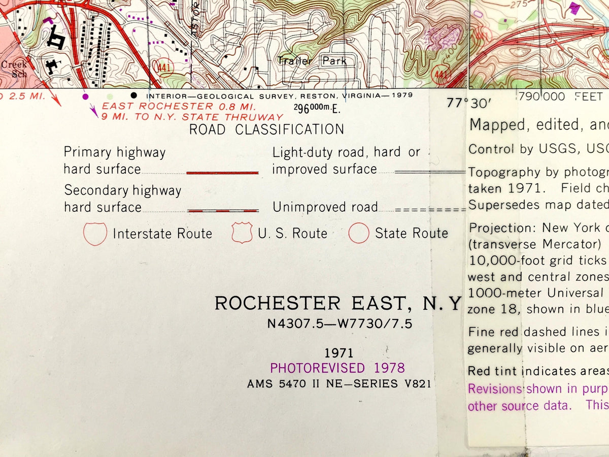
Beautiful, antique combination map of the Rochester East and Webster, New York quadrangles, including surrounding Monroe County area. This is an authentic 1971 edition, 1978 print from the U.S. Geological Survey and is NOT a computer reproduction. At some point in the past, someone fused these two maps together. I find these kinds of maps to be the most interesting!
See what northern New York looked like more than 50 years ago. Lots of intricate details and geological contours. Map even has little squares for every house that existed. The USGS cartographers were very thorough back then!
Perfect for the historian, map-lover, the curious or just as a conversation starter. Wonderful and rare. Vintage maps such as these make great gifts.
Edition of 1971, printed 1974
Dimensions: 38 1/2" width x 30" height
----
Features
Cities & Towns: Rochester, Brighton, Float Bridge, Glen Haven, Glen Edith, West Webster, Bay View, Newport, Forest Lawn, German Village, Sea Breeze, Oklahoma Beach, Rock Beach, Ontario Beach, Charlotte, Summerville, White City, Webster, Greece, Penfield, Irondequoit, Ontario, West Webster, Penfield Center, East Penfield, Union Hill, Roseland.
Points of Interest: Monroe County, Genesee River, Lake Ontario, Irondequoit Bay, Eastman Lake, Durand Lake, Ellison Park, Cobbs Hill Reservoir, Irondequoit Bay Park, Webster Beach County Park, Thousand Acre Swamp, Mill Creek, Fourmile Creek, Irondequoit Creek, West Creek, East Creek, and many more lakes, ponds, islands, coves, hills, mountains, houses, train tracks, roads.
Condition: Good or "Very Vintage" condition, commensurate with age. This map is in great shape for being over 45 years old. Has some wear, toning, foxing, creases in upper margin area, tape application, but this all will read as vintage character when framed. The left quad is taller than the right quad. This is easily-concealed by placing same-colored paper behind the map when framing, as in the photos.
----
We will happily adjust shipping price for multiple purchases. Maps are rolled up and shipped in sturdy mailing tubes, never folded.