My Store
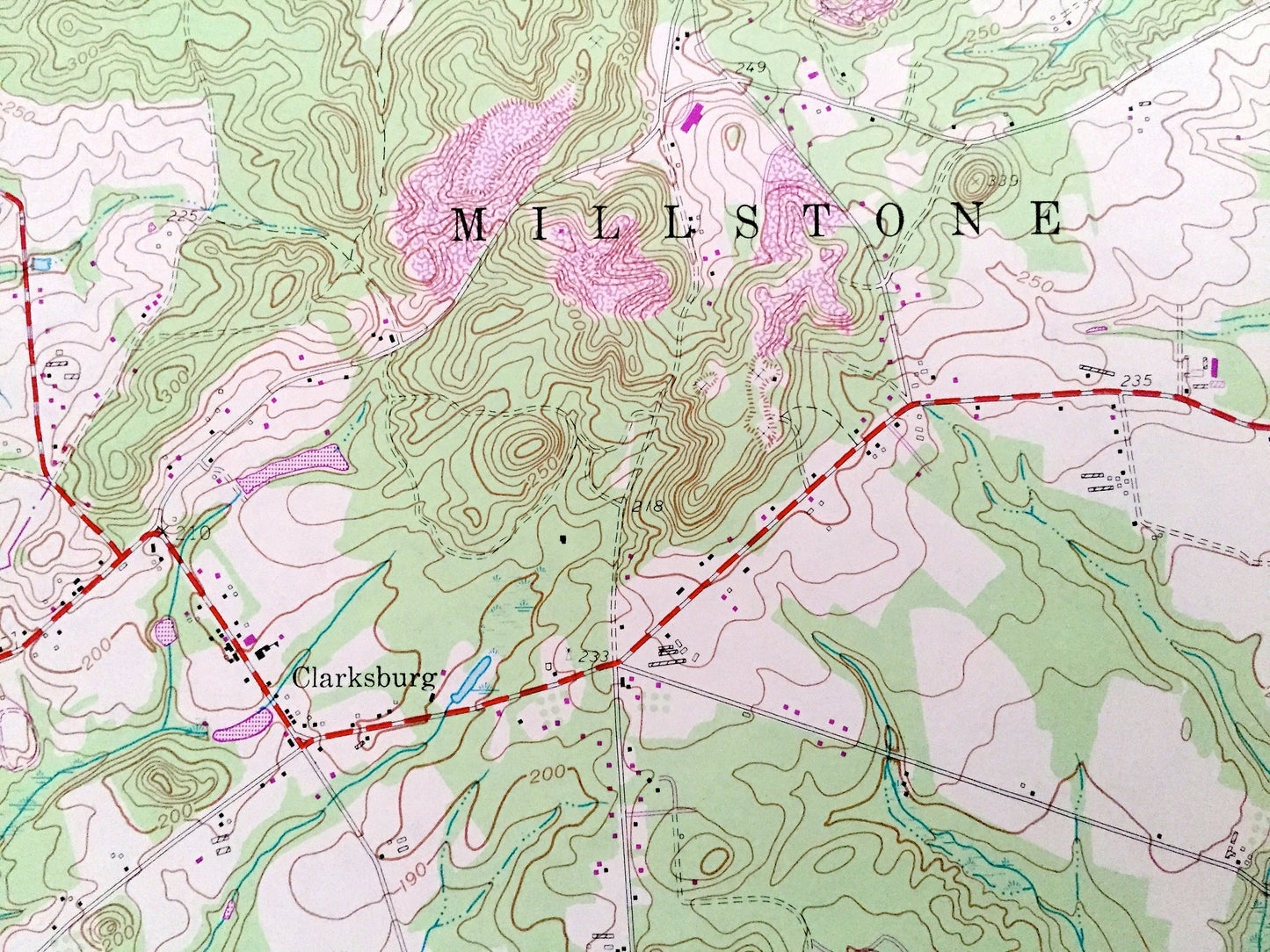
Antique Roosevelt, New Jersey 1957 US Geological Survey Topographic Map – Mercer, Monmouth County, Millstone, Jackson, East Windsor, NJ
Antique Roosevelt, New Jersey 1957 US Geological Survey Topographic Map – Mercer, Monmouth County, Millstone, Jackson, East Windsor, NJ
Beautiful, antique map of Branchville, New Jersey and surrounding Mercer, Ocean & Monmouth County areas. This is an authentic 1957 edition, 1982 print from the U.S. Geological Survey and NOT a computer reproduction.
See what New Jersey looked like over 60 years ago. Lots of intricate details and geological contours. Map even has little squares for every house that existed at the time. The USGS cartographers were very thorough back then!
Perfect for the historian, map-lover, the curious or just as a conversation starter. Wonderful and rare. Vintage maps such as these make great gifts.
Edition of 1957, printed 1982
Dimensions: 22" width x 27" height
----
Features
Cities & Towns: Manalapan, Perrineville, Plumsted, Prospertown, Red Valley, Stone Tavern, Holmeson, Burkesville, Francis Mills, Leesville, Maryland, Ely, Sweetman, Bairdsville, Carrs Tavern.
Points of Interest: Assunpink, Prospertown, and Colliers Mills Wildlife Management Area, Cranberry Bogs, Millstone River, Assunpink Creek, Doctors Creek, Toms River, Manalapan Brook, Red Valley Lake, Ivanhoe Brook, Rocky Brook, Perrineville Lake, and many more hills, streams, ponds, houses, schools, railroads, churches and roads.
Condition: Very Good Vintage condition, commensurate with age. This map is in great shape for being over 35 years old.
----
We will happily adjust shipping price for multiple purchases. Maps are rolled up and shipped in sturdy mailing tubes, never folded.
Couldn't load pickup availability
Share