My Store
Antique Rumford, Maine 1927 US Geological Survey Topographic Map – Mexico, Ridlonville, Virginia, Roxbury, Byron, Oxford, Franklin County ME
Antique Rumford, Maine 1927 US Geological Survey Topographic Map – Mexico, Ridlonville, Virginia, Roxbury, Byron, Oxford, Franklin County ME
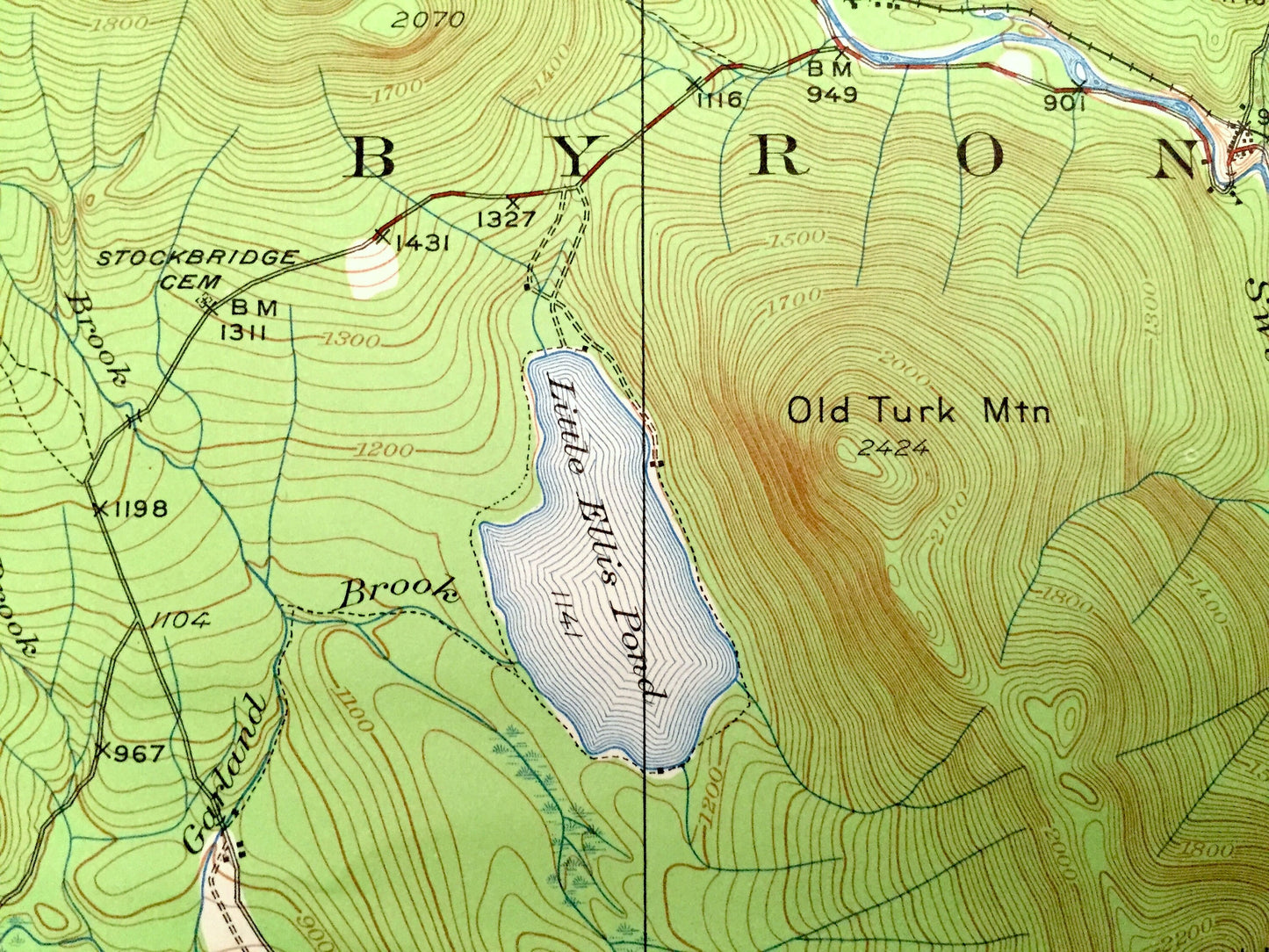
Beautiful, antique map of Rumford, Maine and surrounding Oxford & Franklin County area. This is an authentic 1927 edition, 1963 print from the U.S. Geological Survey and NOT a computer reproduction.
See what Rumford and the Androscoggin River looked like over 85 years ago. Lots of intricate details and geological contours. Map even has little squares for every house that existed at the time. The cartographers were very thorough back then!
Perfect for the historian, map-lover, the curious or just as a conversation starter. Wonderful and rare. Vintage maps such as these make great gifts.
Edition of 1927, printed 1963
Dimensions: 16 1/2" width x 20" height
----
Features
Cities & Towns: Byron, Weld, Andover, Roxbury, Carthage, Newry, Rumford, Mexico, Carthage, Hanover, Berlin, East Andover, South Andover, Frye, Rumford Point, Rumford Center, Ridlonville, Smith Crossing, Virginia.
Points of Interest: Oxford County, Franklin County, Androscoggin River, Glass Face Mountain, Mt. Dimmock, Flathead Mountain, Ellis Pond, Old Tuck Mountain, Swift River, and many more streams, ponds, villages and mountains.
Condition: Good Vintage condition, commensurate with age. This map is in great shape for being 60 years old. Has light wear and folds as-issued, but these will flatten easily and all will add to vintage character when framed.
----
We will happily adjust shipping price for multiple purchases. Maps are rolled up and shipped in sturdy mailing tubes, never folded.
Couldn't load pickup availability
Share