My Store
Antique Sabula, Pennsylvania 1959 US Geological Survey Topographic Map – Clearfield, Elk County, Narrows Creek, Sandy, Horton, Huston, PA
Antique Sabula, Pennsylvania 1959 US Geological Survey Topographic Map – Clearfield, Elk County, Narrows Creek, Sandy, Horton, Huston, PA
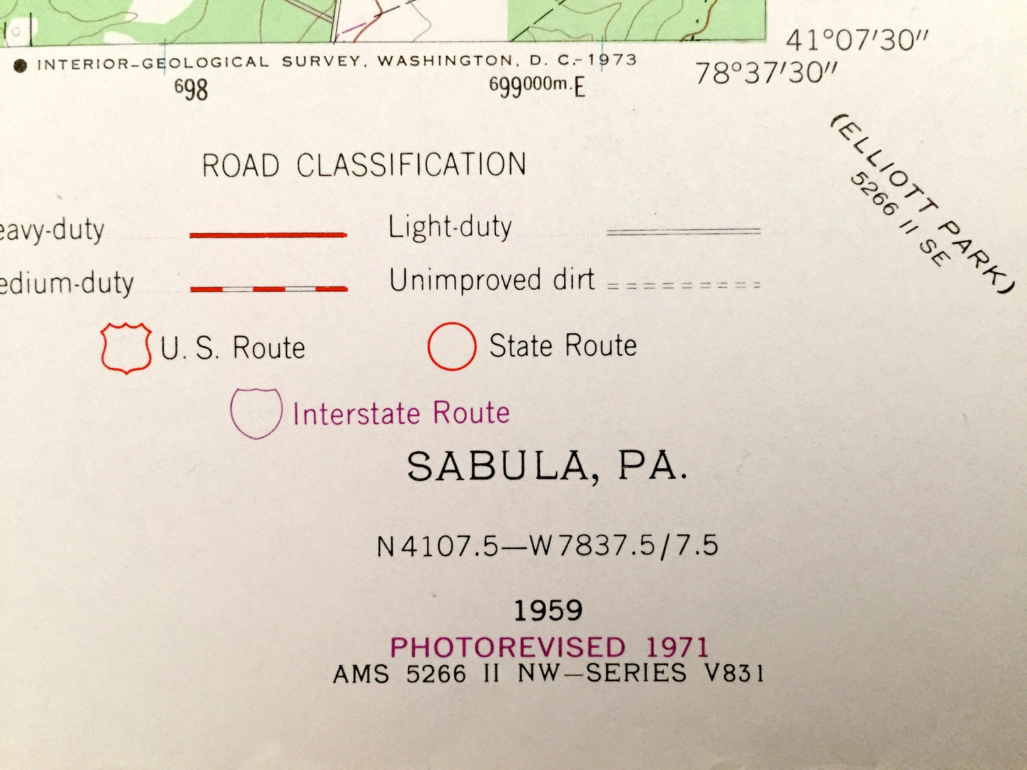
Beautiful, antique map of Sabula, Pennsylvania and surrounding Clearfield, Elk, and Jefferson County area. This is an authentic 1959 edition, 1971 print from the U.S. Geological Survey and NOT a computer reproduction.
See what Pennsylvania looked like almost 60 years ago. Lots of intricate details and geological contours. Map even has little squares for every house that existed at the time. The USGS cartographers were very thorough back then!
Perfect for the historian, map-lover, the curious or just as a conversation starter. Wonderful and rare. Vintage maps such as these make great gifts.
Edition of 1959, printed 1971
Dimensions: 22" width x 27" height
----
Features
Cities & Towns: Sabula, Walsh, Clear Run, Narrows Creek, Du Bois, Union, Sandy, Huston, Horton, Snyder.
Points of Interest: Lake Rene, Lake Sabula, Juniata Run, State Game Lands, Penn Central Railroad, Pete Buck Hollow, Boone Mountain, Moshannon State Forest, Boy Scout Camp, McEwen Run, Brockway Reservoir, and many more hills, streams, ponds, houses, schools, churches and roads.
Condition: Very Good condition, commensurate with age. This map is in incredible shape for being over 40 years old.
----
We will happily adjust shipping price for multiple purchases. Maps are rolled up and shipped in sturdy mailing tubes, never folded.
Couldn't load pickup availability
Share