My Store
Antique Sacramento, California 1967 US Geological Survey Topographic Map – Yolo County, West, River, American Basin, Lake Greenhaven, CA
Antique Sacramento, California 1967 US Geological Survey Topographic Map – Yolo County, West, River, American Basin, Lake Greenhaven, CA
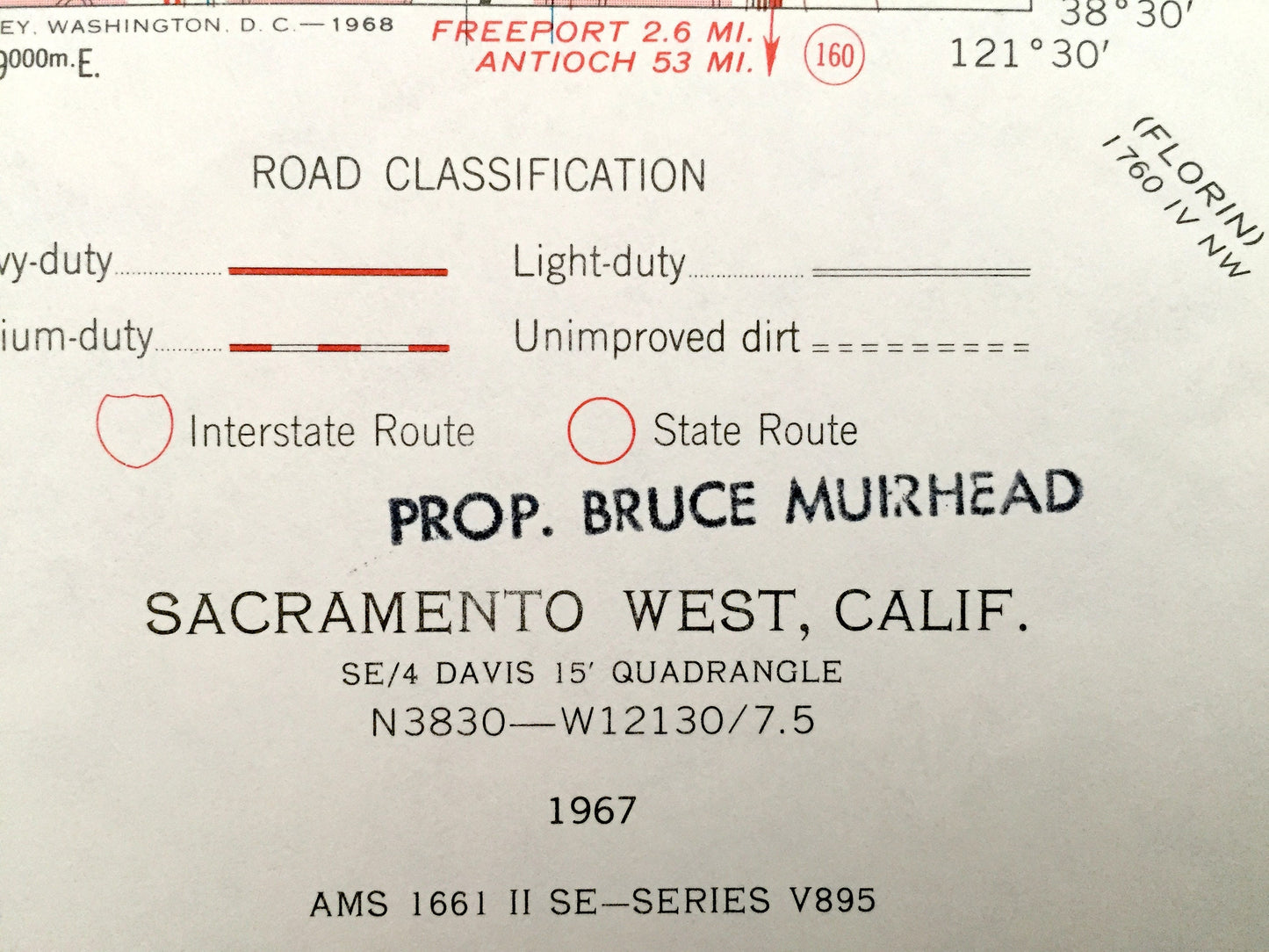
Beautiful, antique map of Sacramento, California and surrounding Sacramento County and Yolo County areas. This is an authentic 1967 print from the U.S. Geological Survey and NOT a computer reproduction.
See what California looked like over 50 years ago. Lots of intricate details and geological contours. Map even has little squares for every house that existed at the time. The USGS cartographers were very thorough back then!
Perfect for the historian, map-lover, the curious or just as a conversation starter. Wonderful and rare. Vintage maps such as these make great gifts.
Edition of 1967, printed 1968
Dimensions: 22" width x 27" height
----
Features
Cities, Neighborhoods & Towns: Sacramento, West Sacramento, American Basin, Yolo Bypass, Sacramento Bypass, Bryte, Broderick, Riverview, Mikon, Peethill, Lovdal.
Points of Interest: Sacramento County, Yolo County, Putah Creek, Sacramento River Deep Water Ship Channel, Sacramento River, Clay Bank Bend, Mungers Lake, Toe Drain, Chicory Bend, Port of Sacramento, Lake Greenhaven, American River, and lots more hills, mountains, ravines, creeks, houses, canals, roads and camps.
Condition: Good Vintage condition, commensurate with age. This map is in great shape for being over 50 years old.
----
We will happily adjust shipping price for multiple purchases. Maps are rolled up and shipped in sturdy mailing tubes, never folded.
Couldn't load pickup availability
Share