My Store
Antique Saddlebunch Keys, Florida 1972 US Geological Survey Topographic Map – Monroe County, Sugarloaf Key, Beach, Sound, Wells, Key West FL
Antique Saddlebunch Keys, Florida 1972 US Geological Survey Topographic Map – Monroe County, Sugarloaf Key, Beach, Sound, Wells, Key West FL
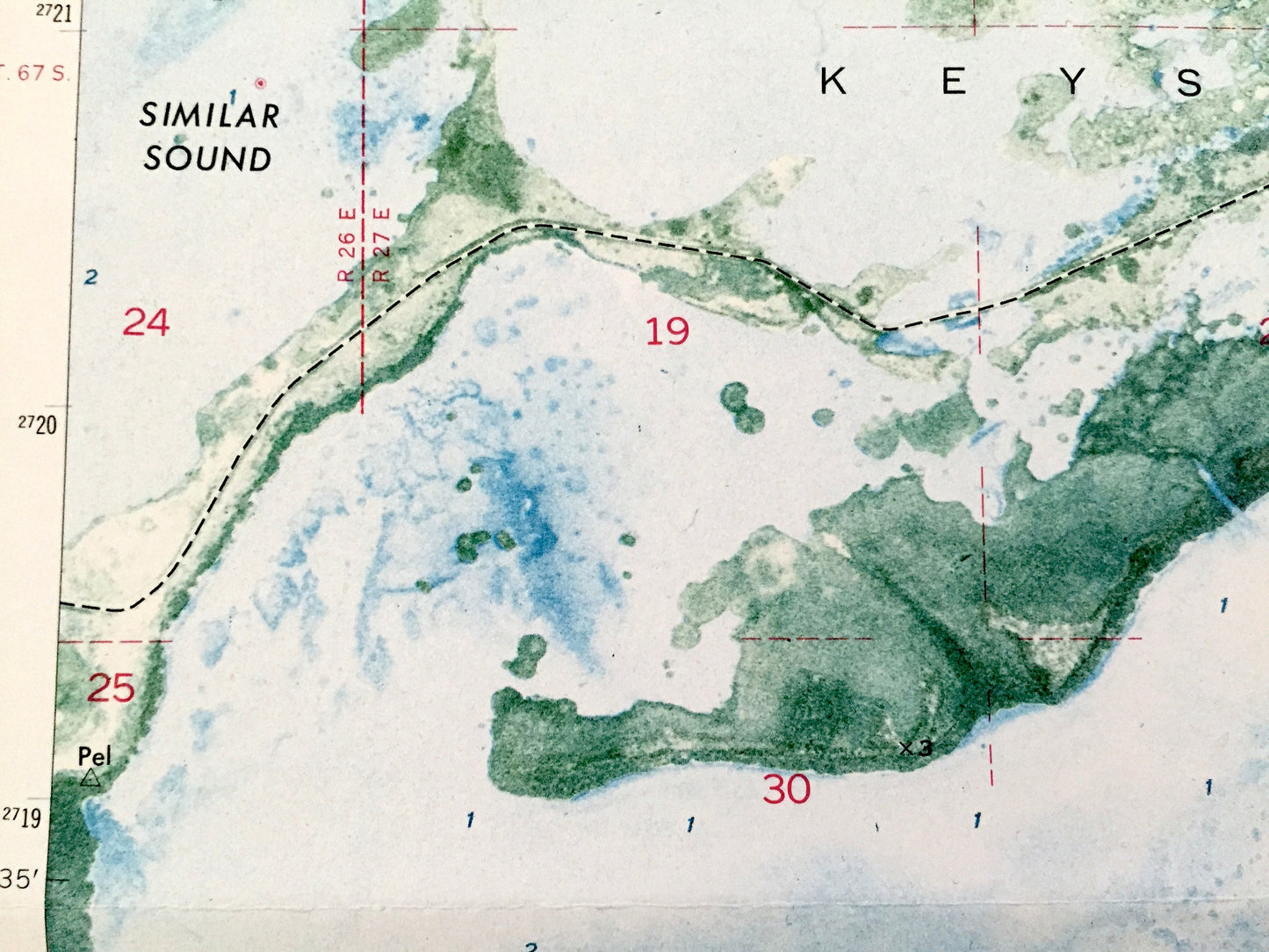
Beautiful, antique "Orthophoto" map of Saddlebunch Keys, Florida and surrounding Monroe County area. This is an authentic 1972 edition, 1973 print from the U.S. Geological Survey and NOT a computer reproduction.
See what the Florida Keys looked like 50 years ago. Lots of intricate details and geological contours. Map even has little squares for every house that existed at the time. The USGS cartographers were very thorough back then!
Perfect for the historian, map-lover, the curious or just as a conversation starter. Wonderful and rare. Vintage maps such as these make great gifts.
Edition of 1972, printed 1973
Dimensions: 24" width x 27" height
----
Features
Points of Interest: Monroe County, Florida Keys, Saddlebunch Keys, Sugarloaf Key, Similar Sound, Lower Sugarloaf Sound, Sugarloaf Creek, Sasu, Gandalpho, Gar, Wells Key, Hawk Channel, Intracoastal Waterway, Ninefoot Shoal Light, Maryland Shoal, American Shoal, Straits of Florida, Bluewater Key, Gardens of Eden Floriday Key, Coastal Oaks Homes, Sammy Creek Landing, ConchRepublic, Overseas Highway and lots more creeks, ponds, lakes, islands, houses, schools, churches and roads.
Condition: Good Vintage condition, commensurate with age. This map is in great shape for being almost 50 years old. Has some edge-wear and old fold lines as-issued, but these will flatten easily and all will read as vintage character when framed.
----
We will happily adjust shipping price for multiple purchases. Maps are rolled up and shipped in sturdy mailing tubes, never folded.
Couldn't load pickup availability
Share